Fish Pond Plantation
Wood, Forest in East Lothian
Scotland
Fish Pond Plantation
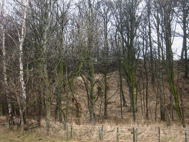
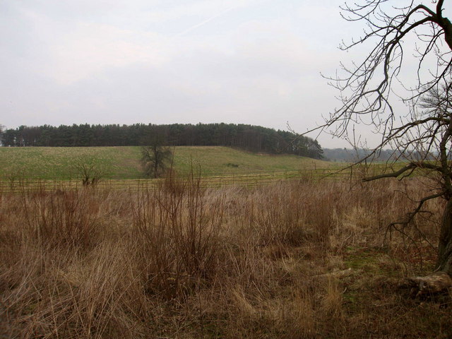
Fish Pond Plantation is a picturesque woodland located in East Lothian, Scotland. Spanning across a vast area, it is known for its dense growth of various tree species and vibrant flora, making it an ideal destination for nature lovers and outdoor enthusiasts.
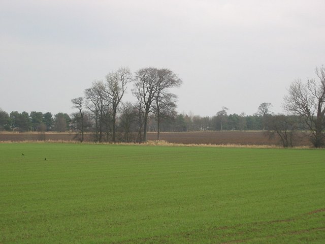
The plantation predominantly consists of deciduous trees, including oak, beech, and birch, which create a stunning canopy of greenery. These towering giants provide a home to numerous bird species, such as woodpeckers and song thrushes, adding to the enchanting ambiance of the woodland. The forest floor is adorned with a carpet of wildflowers, including bluebells, primroses, and wood anemones, creating a colorful and fragrant display during the spring months.
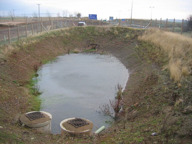
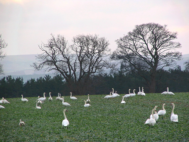
As the name suggests, Fish Pond Plantation is also home to several ponds that add an extra element of beauty to the landscape. These ponds are teeming with aquatic life, including fish, frogs, and waterfowl, attracting wildlife enthusiasts and photographers alike.
The plantation offers a variety of walking trails, allowing visitors to explore the woodland at their own pace. These trails wind through the forest, leading to scenic viewpoints and hidden gems within the woodland. With its peaceful atmosphere and tranquil surroundings, Fish Pond Plantation provides the perfect setting for a leisurely stroll or a picnic with family and friends.
Overall, Fish Pond Plantation in East Lothian is a natural haven that showcases the beauty of Scotland's woodlands. With its diverse ecosystem and captivating scenery, it is a must-visit destination for anyone seeking solace in nature.
If you have any feedback on the listing, please let us know in the comments section below.
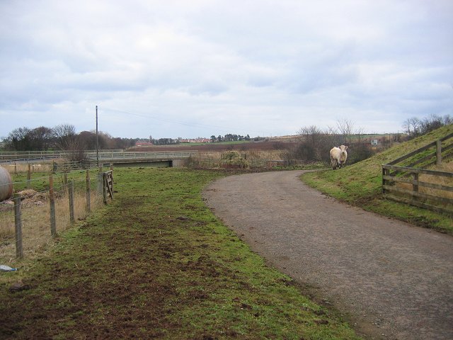
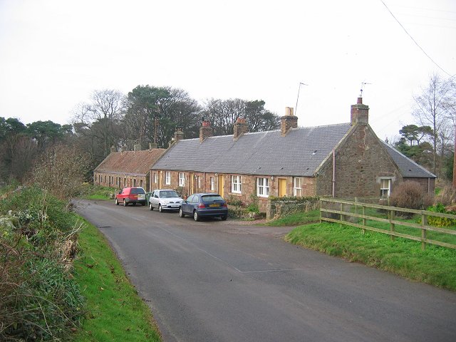
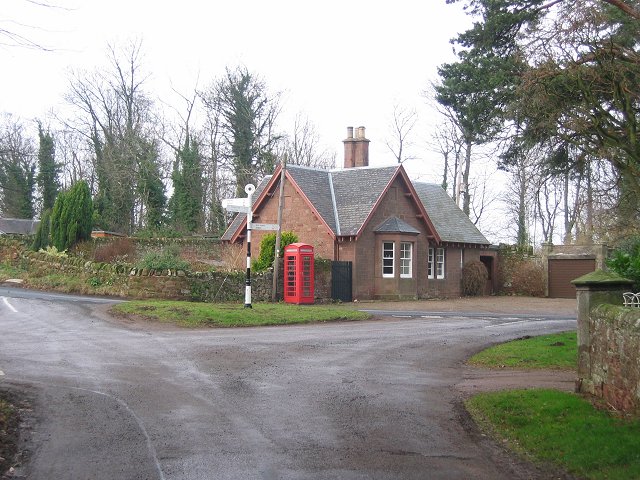
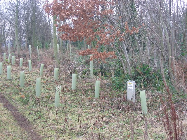
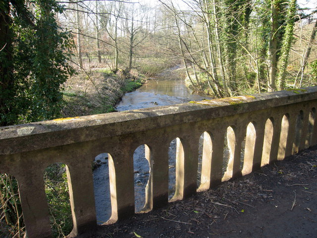
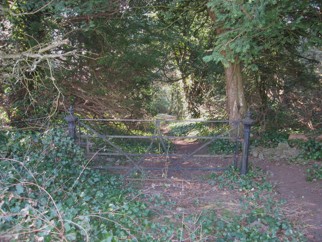
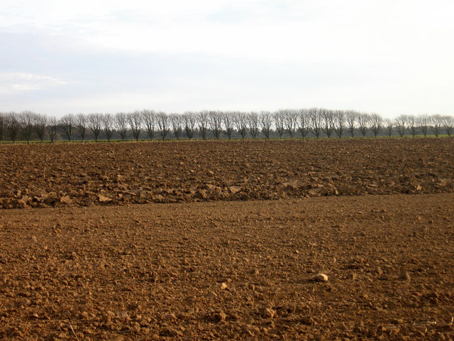
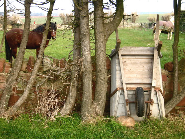
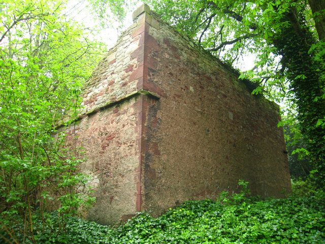
Fish Pond Plantation Images
Images are sourced within 2km of 55.982024/-2.5871719 or Grid Reference NT6376. Thanks to Geograph Open Source API. All images are credited.


Fish Pond Plantation is located at Grid Ref: NT6376 (Lat: 55.982024, Lng: -2.5871719)
Unitary Authority: East Lothian
Police Authority: The Lothians and Scottish Borders
What 3 Words
///hologram.starring.petulant. Near East Linton, East Lothian
Nearby Locations
Related Wikis
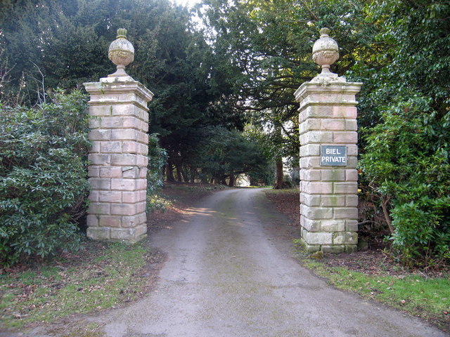
Biel, East Lothian
Biel is a village in East Lothian, Scotland, UK, to the south of Dunbar, off the B6370 road. It is situated on the Biel Estate, close to Biel House....

Biel House
Biel House is a historic house on the Biel Estate near Stenton, East Lothian, Scotland. It is a Category A listed building. == House == The present Biel...

Biel Water
The Biel Water is a river running through the Biel Estate in Biel, East Lothian. It runs for 4.5 kilometres from the Luggate Burn and the Whittinghame...

West Barns
West Barns is a small village in East Lothian, Scotland. It lies 2 miles west of Dunbar and approximately 28 miles east of Edinburgh. It is close to John...
Nearby Amenities
Located within 500m of 55.982024,-2.5871719Have you been to Fish Pond Plantation?
Leave your review of Fish Pond Plantation below (or comments, questions and feedback).