Baudyground Wood

Wood, Forest in Aberdeenshire

Scotland

Baudyground Wood

There is a large track here according to the OS!
There is a large track here according to the OS! Credit: thejackrustles

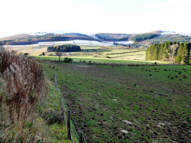
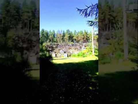
Baudyground Wood is a picturesque forest located in Aberdeenshire, Scotland. Covering an area of approximately 50 acres, it is nestled within a rural landscape and offers a tranquil escape for nature enthusiasts and outdoor adventurers alike.

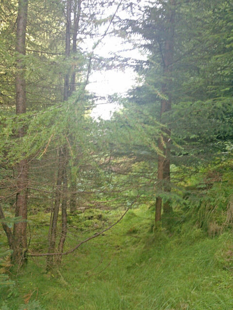
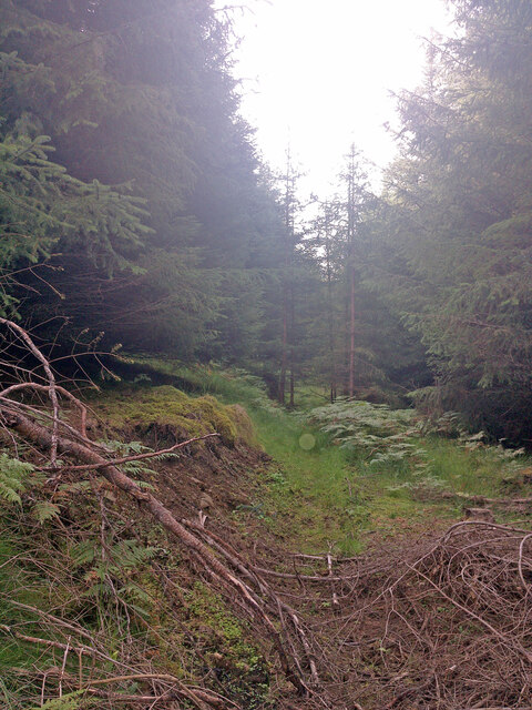
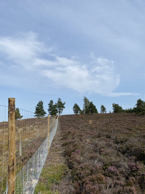
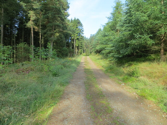
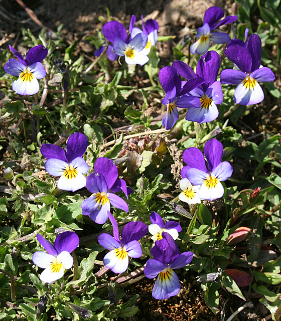
The woodland is characterized by its diverse range of native tree species, including oak, birch, and Scots pine. These towering trees provide a lush canopy, creating a cool and shaded environment throughout the forest. Beneath the tree canopy, the forest floor is covered in a thick carpet of moss, ferns, and wildflowers, adding to the enchanting atmosphere.

Baudyground Wood is home to a variety of wildlife, making it an ideal spot for birdwatching and animal spotting. Visitors may have the chance to catch a glimpse of red squirrels, roe deer, and a myriad of bird species, including woodpeckers and owls. The forest also boasts a small pond, attracting amphibians such as frogs and newts.

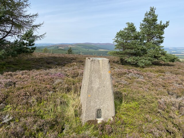
For those seeking outdoor activities, Baudyground Wood offers a network of well-maintained walking trails, suitable for all levels of fitness and ages. The paths wind through the forest and provide opportunities to explore its hidden corners and discover breathtaking viewpoints. The tranquility of the woodland makes it an ideal location for nature walks, picnics, and photography.

Overall, Baudyground Wood in Aberdeenshire is a haven of natural beauty, providing an escape from the hustle and bustle of everyday life. Its diverse flora and fauna, coupled with its serene atmosphere, make it a must-visit destination for nature lovers and those seeking a peaceful retreat in the heart of Scotland.

If you have any feedback on the listing, please let us know in the comments section below.

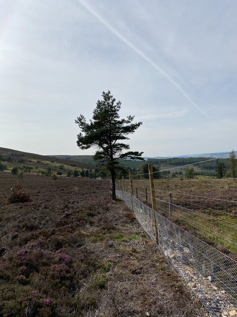
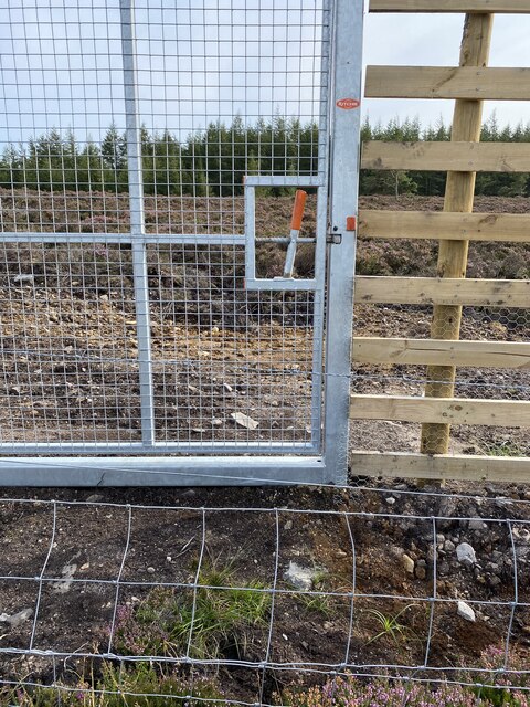
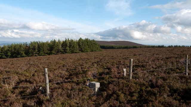
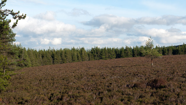
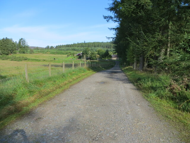
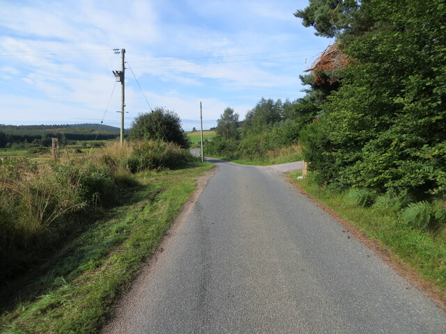
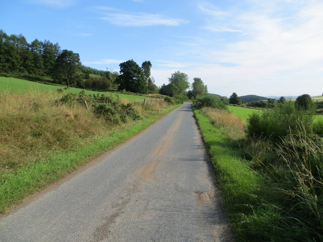
Baudyground Wood Images

Images are sourced within 2km of 57.174528/-2.6058091 or Grid Reference NJ6309. Thanks to Geograph Open Source API. All images are credited.

There is a large track here according to the OS!
Still no sign of the track shown on the OS Map
New deer fence near Whitehill
Whitehill Trig Point Flush Bracket S5394
New deer fence near Whitehill
New gate and old barbed wire fence! Strange new human gate and along the way a large vehicle gate but all the other side of a barbed wire fence?
New gate and old barbed wire fence!
Strange new human gate and along the way a large vehicle gate but all the other side of a barbed wire fence?
Moorland of Red Hill with fence, boundary stone and woodland The fence crosses the north end of Red Hill on Corrennie Moor. The boundary stone is unmarked - others seen in the area are cut with letters. Beyond the trees can be seen Green Hill.
Moorland of Red Hill with fence, boundary stone and woodland
The fence crosses the north end of Red Hill on Corrennie Moor. The boundary stone is unmarked - others seen in the area are cut with letters. Beyond the trees can be seen Green Hill.
Heather moorland surrounded by trees North-east of Red Hill, part of Corrennie Moor, conifer plantings surround an area of heather moorland. A rogue tree stands alone.
Heather moorland surrounded by trees
North-east of Red Hill, part of Corrennie Moor, conifer plantings surround an area of heather moorland. A rogue tree stands alone.
Track giving access to Ewens Croft Looking north-westward.
Track giving access to Ewens Croft
Looking north-westward.
Minor road near to Corrennie Looking south-westward.
Minor road near to Corrennie
Looking south-westward.
Minor road between Baudygaun and Rinalloch Looking north-eastward.
Minor road between Baudygaun and Rinalloch
Looking north-eastward.
Tree-lined track giving access to Corrennie Croft Looking westward.
Tree-lined track giving access to Corrennie Croft
Looking westward.
A view to Nether Burnside and its copse From the B991; with Corrennie Forest and the snow-capped Green Hill beyond.
A view to Nether Burnside and its copse
From the B991; with Corrennie Forest and the snow-capped Green Hill beyond.
Wild Pansy (Viola tricolor) A cheerful patch of flowers beside the road near Denwell.
Wild Pansy (Viola tricolor)
A cheerful patch of flowers beside the road near Denwell.
Denwell From the road to Forkins of Midmar.
Denwell
From the road to Forkins of Midmar.
Old Kirk o' Tough Recumbent Stone Circle (1) The stone on the left is the only stone still in situ of this circle. The one on the right is possibly the recumbent, moved from its original site and built into the field dyke. See <span class="nowrap"><a title="https://canmore.org.uk/site/18006/old-kirk-of-tough" rel="nofollow ugc noopener" href="https://canmore.org.uk/site/18006/old-kirk-of-tough">Link</a><img style="margin-left:2px;" alt="External link" title="External link - shift click to open in new window" src="https://s1.geograph.org.uk/img/external.png" width="10" height="10"/></span> for more details. <a href="https://www.geograph.org.uk/photo/4955947">NJ6209 : Old Kirk o' Tough Recumbent Stone Circle (2)</a>
Old Kirk o' Tough Recumbent Stone Circle (1)
The stone on the left is the only stone still in situ of this circle. The one on the right is possibly the recumbent, moved from its original site and built into the field dyke. See LinkExternal link for more details. NJ6209 : Old Kirk o' Tough Recumbent Stone Circle (2)
Old Kirk o' Tough Recumbent Stone Circle (2) This is the sole remaining stone still in its original position. The rest were carried off in the late 19th century and mostly used for building. See <span class="nowrap"><a title="https://canmore.org.uk/site/18006/old-kirk-of-tough" rel="nofollow ugc noopener" href="https://canmore.org.uk/site/18006/old-kirk-of-tough">Link</a><img style="margin-left:2px;" alt="External link" title="External link - shift click to open in new window" src="https://s1.geograph.org.uk/img/external.png" width="10" height="10"/></span> for more details. <a href="https://www.geograph.org.uk/photo/4955957">NJ6209 : Old Kirk o' Tough Recumbent Stone Circle (3)</a>
Old Kirk o' Tough Recumbent Stone Circle (2)
This is the sole remaining stone still in its original position. The rest were carried off in the late 19th century and mostly used for building. See LinkExternal link for more details. NJ6209 : Old Kirk o' Tough Recumbent Stone Circle (3)
Old Kirk o' Tough Recumbent Stone Circle (3) The only stone in its original position is nearest the camera. To its right, on top of the dyke, is possibly the recumbent, and there are other stones also built into the dyke which may or may not have been part of the circle. See <span class="nowrap"><a title="https://canmore.org.uk/site/18006/old-kirk-of-tough" rel="nofollow ugc noopener" href="https://canmore.org.uk/site/18006/old-kirk-of-tough">Link</a><img style="margin-left:2px;" alt="External link" title="External link - shift click to open in new window" src="https://s1.geograph.org.uk/img/external.png" width="10" height="10"/></span> for more details. <a href="https://www.geograph.org.uk/photo/4955963">NJ6209 : Old Kirk o' Tough Recumbent Stone Circle (4)</a>
Old Kirk o' Tough Recumbent Stone Circle (3)
The only stone in its original position is nearest the camera. To its right, on top of the dyke, is possibly the recumbent, and there are other stones also built into the dyke which may or may not have been part of the circle. See LinkExternal link for more details. NJ6209 : Old Kirk o' Tough Recumbent Stone Circle (4)
Show me another place!

Baudyground Wood is located at Grid Ref: NJ6309 (Lat: 57.174528, Lng: -2.6058091)

Unitary Authority: Aberdeenshire

Police Authority: North East

What 3 Words

///forkful.spoil.breached. Near Sauchen, Aberdeenshire

Related Wikis

Related Videos

Tillyfourie Quarry Aberdeenshire

19th sep 2020 #Tillyfourie Quarry #Aberdeenshire.

Nearby Amenities

Located within 500m of 57.174528,-2.6058091
Green Hill
Ele: 489
Natural: peak
Lat/Long: 57.1781897/-2.6044255
The data included in this document is from www.openstreetmap.org. The data is made available under ODbL.

Have you been to Baudyground Wood?

Leave your review of Baudyground Wood below (or comments, questions and feedback).