Waterloo Plantation
Wood, Forest in Roxburghshire
Scotland
Waterloo Plantation
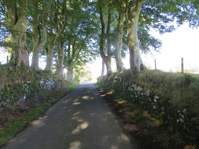
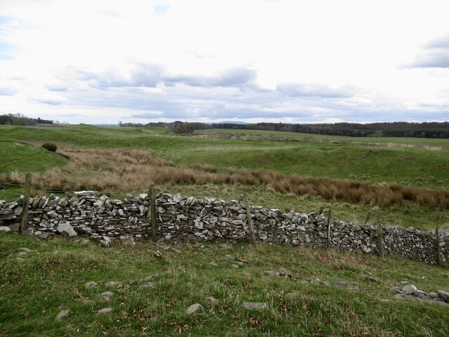
Waterloo Plantation is a vast woodland located in the picturesque region of Roxburghshire, Scotland. Spanning over a sprawling area, the plantation is a harmonious blend of natural beauty and historical significance.
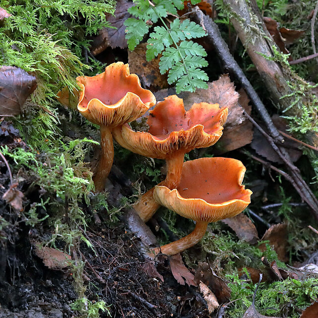
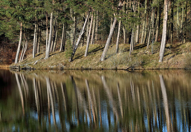
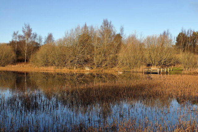
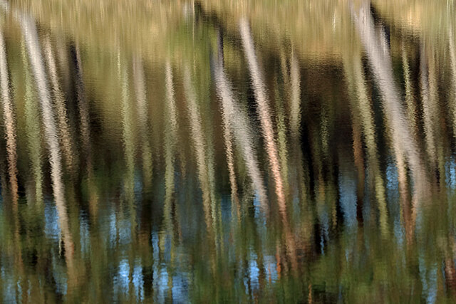
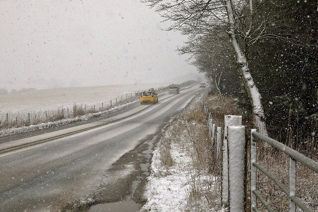
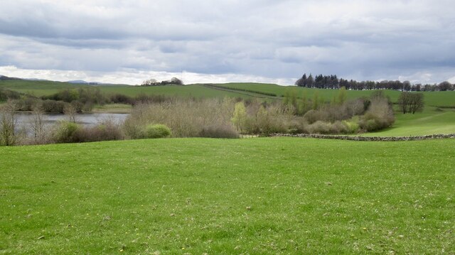
The plantation is primarily composed of a dense forest, characterized by a diverse array of trees and vegetation. Ancient oaks, towering pines, and graceful beeches dominate the landscape, creating a captivating and tranquil environment. The lush undergrowth is home to a plethora of flora, with wildflowers, ferns, and mosses adding bursts of color to the scenery.
Beyond its scenic allure, Waterloo Plantation holds historical importance. Established in the early 19th century, the plantation was named in commemoration of the Battle of Waterloo, which took place in 1815. The battle, a significant event in European history, marked the final defeat of French Emperor Napoleon Bonaparte.
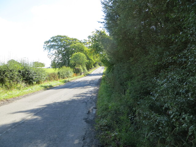
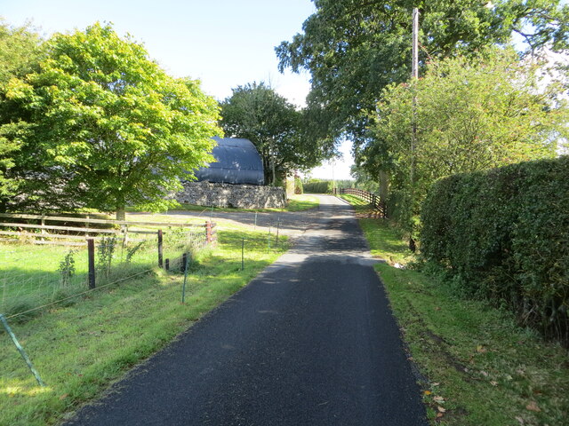
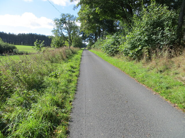
Visitors to Waterloo Plantation can explore its vast network of walking trails and enjoy the serenity of nature. The plantation offers a haven for outdoor enthusiasts, providing opportunities for hiking, bird-watching, and wildlife spotting. The rich biodiversity of the area makes it a haven for various animal species, including deer, squirrels, and numerous bird species.
Waterloo Plantation is not only a place of natural beauty but also a testament to the historical events that shaped the region. Its combination of scenic landscapes, diverse flora, and historical significance make it a must-visit destination in Roxburghshire, offering a unique experience for nature lovers and history enthusiasts alike.
If you have any feedback on the listing, please let us know in the comments section below.
Waterloo Plantation Images
Images are sourced within 2km of 55.54215/-2.7822652 or Grid Reference NT5027. Thanks to Geograph Open Source API. All images are credited.

Waterloo Plantation is located at Grid Ref: NT5027 (Lat: 55.54215, Lng: -2.7822652)
Unitary Authority: The Scottish Borders
Police Authority: The Lothians and Scottish Borders
What 3 Words
///alpha.wizards.argue. Near Selkirk, Scottish Borders
Nearby Locations
Related Wikis

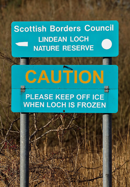
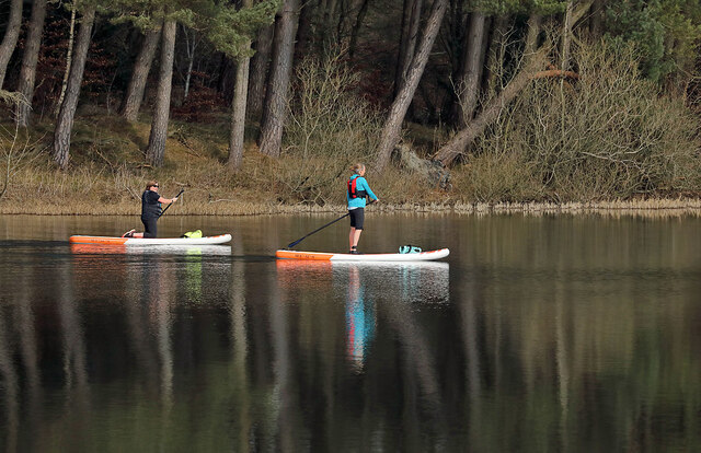
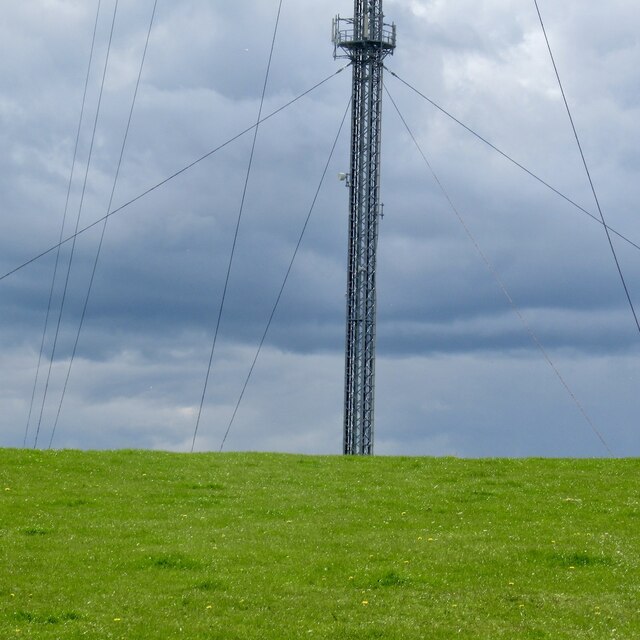
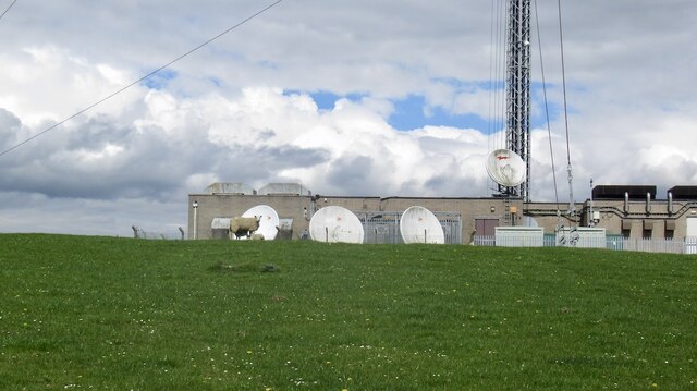
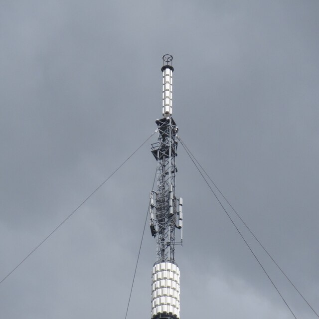
Selkirk transmitting station
The Selkirk transmitting station is a telecommunications facility located next to Lindean Loch, near Selkirk in the Scottish Borders. It includes a 229...
Lothian and Borders
Lothian and Borders is an area in Scotland consisting of the East Lothian, City of Edinburgh, Midlothian, West Lothian council areas (collectively known...

Lindean
Lindean is a village north of Selkirk and the Ettrick Water, in the Scottish Borders area of Scotland. In 1590 the parishioners of Lindean had permission...
Bridgelands
Bridgelands is a village and an 18th-century house in the Scottish Borders area of Scotland, in the parish of Selkirk. Sir Henry Raeburn's wife came from...
Nearby Amenities
Located within 500m of 55.54215,-2.7822652Have you been to Waterloo Plantation?
Leave your review of Waterloo Plantation below (or comments, questions and feedback).