Muirton Wood

Wood, Forest in Angus

Scotland

Muirton Wood

Farm buildings, Vayne
Farm buildings, Vayne Credit: Euan Nelson

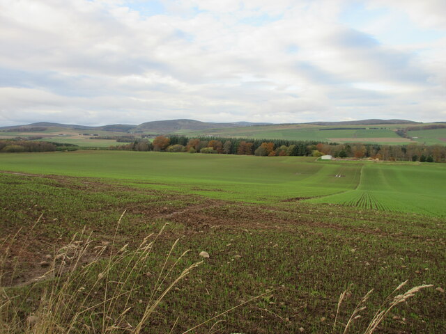
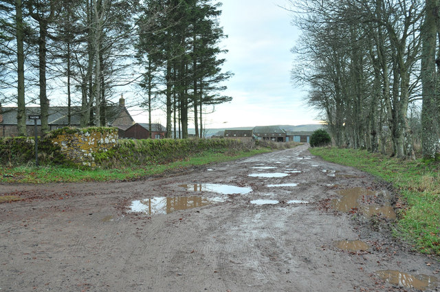
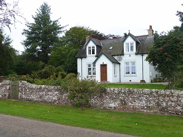
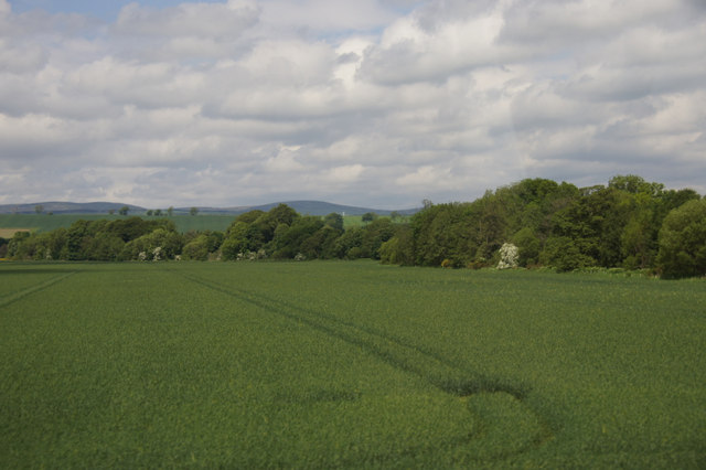
Muirton Wood, located in Angus, Scotland, is a captivating forest renowned for its natural beauty and rich biodiversity. Covering an area of approximately 200 acres, this enchanting woodland is a popular destination for nature enthusiasts and adventurers alike.

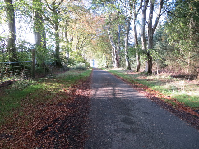
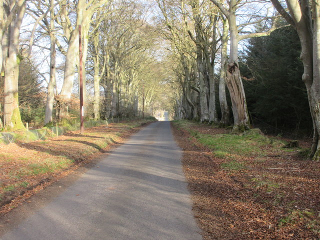
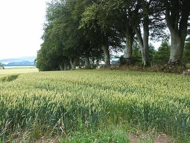
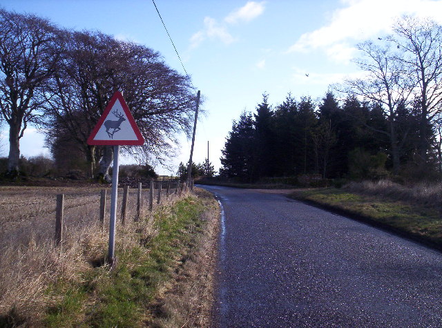
Muirton Wood is characterized by its diverse range of tree species, including oak, birch, beech, and pine, creating a vibrant and picturesque landscape throughout the seasons. The forest is also home to a plethora of wildlife, such as red squirrels, roe deer, badgers, and a variety of bird species, making it a haven for wildlife enthusiasts and birdwatchers.

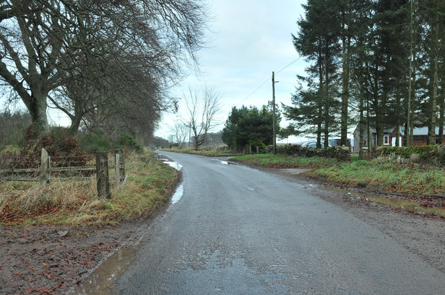
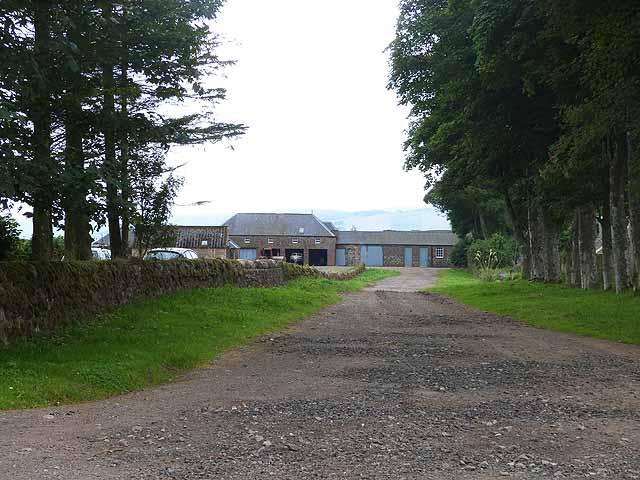
Visitors to Muirton Wood can explore the numerous walking trails and footpaths that wind through the forest, offering breathtaking views of the surrounding countryside. The wood is also intersected by a tranquil stream, adding to the peaceful ambiance of the area.

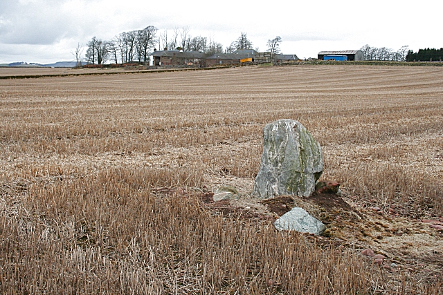
In addition to its natural beauty, Muirton Wood has a rich cultural and historical significance. It is believed that the wood has been in existence for centuries, with evidence of ancient settlements and archaeological sites in the surrounding area. The forest also played a role in the local timber industry in the past, with remnants of old sawmills and logging activities still visible today.

Muirton Wood offers a serene escape from the hustle and bustle of everyday life, providing visitors with an opportunity to immerse themselves in nature and experience the tranquility of a Scottish woodland. Whether one seeks a peaceful stroll, a wildlife encounter, or simply a moment of solitude, Muirton Wood is a destination not to be missed.

If you have any feedback on the listing, please let us know in the comments section below.
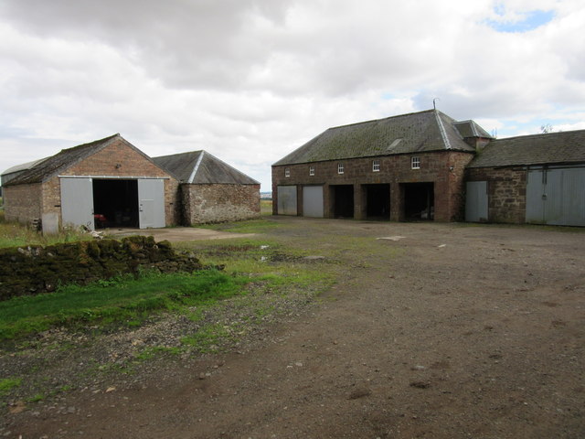
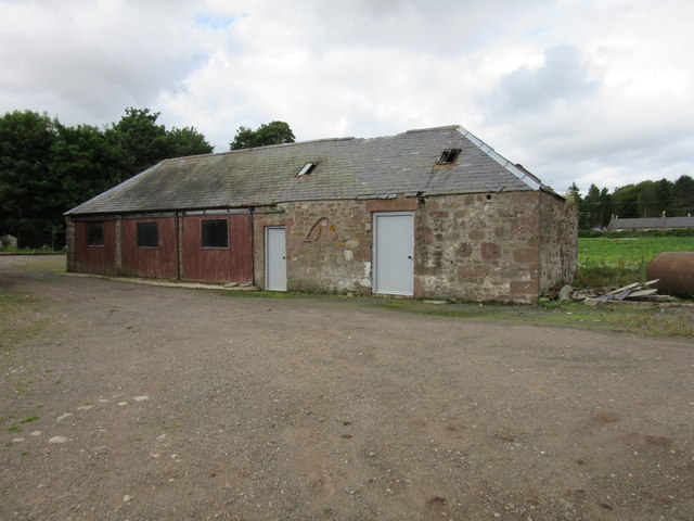
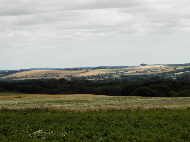
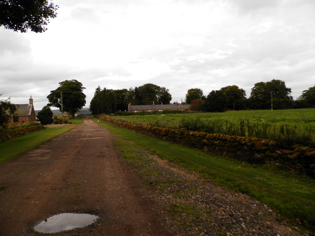
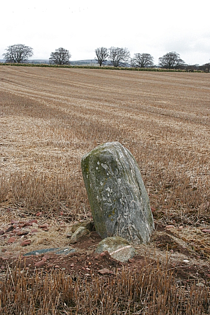
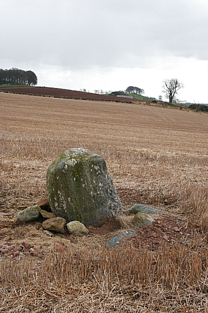
Muirton Wood Images

Images are sourced within 2km of 56.721279/-2.8062242 or Grid Reference NO5059. Thanks to Geograph Open Source API. All images are credited.

Farm buildings, Vayne
Farm building, Vayne The farm buildings at Vayne belong to the nineteenth century, but much of the stone that was used for their construction was plundered from the nearby Vayne Castle (16th century).  Evidence for this can be seen in the carved panel, or tympanum, set between the two grey doors in this picture.  The image below contains further detail:-

<a title="https://www.geograph.org.uk/photo/766688" href="https://www.geograph.org.uk/photo/766688">Link</a>
Farm building, Vayne
The farm buildings at Vayne belong to the nineteenth century, but much of the stone that was used for their construction was plundered from the nearby Vayne Castle (16th century). Evidence for this can be seen in the carved panel, or tympanum, set between the two grey doors in this picture. The image below contains further detail:- Link
Farmland at Vayne Farm
Farm road at Vayne Farm
Minor road between Vayne Moor and Roughmount Woods Looking north-westward.
Minor road between Vayne Moor and Roughmount Woods
Looking north-westward.
Road to Fern The road heading to Fern from Careston through Vayne Moor Wood.
Road to Fern
The road heading to Fern from Careston through Vayne Moor Wood.
Field near the Law of Windsor Looking north-westwards over a newly sown field north of the Law of Windsor.
Field near the Law of Windsor
Looking north-westwards over a newly sown field north of the Law of Windsor.
C31 (Angus) Road at Windsor Terrace The C31 road heading eastwards approaching Windsor Terrace.
C31 (Angus) Road at Windsor Terrace
The C31 road heading eastwards approaching Windsor Terrace.
Access road to Vayne
Road past Vayne
Road past Vayne
Wheat field beside Vayne Moor Wood
Vayne Farm
Vayne Farm
Roughmount Farm
Roughmount Farm
Farmland, East Marcus, near Finavon
Beware Low Flying Deer!! Road from Noranside to Careston near Vayne
Beware Low Flying Deer!!
Road from Noranside to Careston near Vayne
Standing Stone at Vayne Farm This stone looks like gneiss, which does not outcrop in the immediate vicinity, so it may have been brought here by the prehistoric people who erected it, or it may be a glacial erratic which they made use of. The farm buildings of Vayne are beyond.
Standing Stone at Vayne Farm
This stone looks like gneiss, which does not outcrop in the immediate vicinity, so it may have been brought here by the prehistoric people who erected it, or it may be a glacial erratic which they made use of. The farm buildings of Vayne are beyond.
Standing Stone at Vayne Farm The Ordnance Survey maps show this as a standing stone, but the Royal Commission on the Ancient and Historic Monuments of Scotland <span class="nowrap"><a title="http://www.rcahms.gov.uk" rel="nofollow ugc noopener" href="http://www.rcahms.gov.uk">Link</a><img style="margin-left:2px;" alt="External link" title="External link - shift click to open in new window" src="https://s1.geograph.org.uk/img/external.png" width="10" height="10"/></span> marks it as the remains of a stone circle.
Standing Stone at Vayne Farm
The Ordnance Survey maps show this as a standing stone, but the Royal Commission on the Ancient and Historic Monuments of Scotland LinkExternal link marks it as the remains of a stone circle.
Standing Stone at Vayne Farm The white spots on the stone are patches of lichen. In the distance is the farm of Hilton of Fern, with a clump of trees beyond which are marked on the map as a motte.
Standing Stone at Vayne Farm
The white spots on the stone are patches of lichen. In the distance is the farm of Hilton of Fern, with a clump of trees beyond which are marked on the map as a motte.
Show me another place!

Muirton Wood is located at Grid Ref: NO5059 (Lat: 56.721279, Lng: -2.8062242)

Unitary Authority: Angus

Police Authority: Tayside

What 3 Words

///doses.landscape.tangling. Near Brechin, Angus

Nearby Locations

Muirton Wood

Related Wikis

Finavon

Finavon is a small settlement in Angus, Scotland. Its Ordnance Survey grid reference is NO4957. == References ==

Tannadice railway station

Tannadice railway station served the village of Tannadice, Angus, Scotland, from 1895 to 1952 on the Forfar and Brechin Railway. == History == The station...

Milton of Finavon

Milton of Finavon is a hamlet in Angus, Scotland that lies adjacent to the A90 road on its southern side by the River South Esk. It is approximately 5...
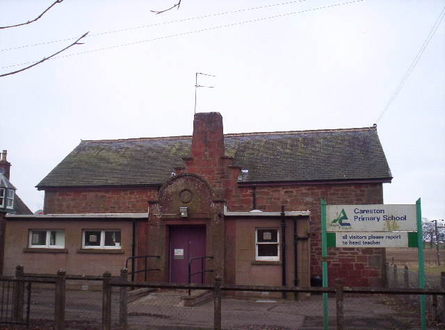
Careston

Careston is a hamlet in Angus, Scotland that is in the parish of the same name, 5 miles west of Brechin. The parish and hamlet supposedly took their name...
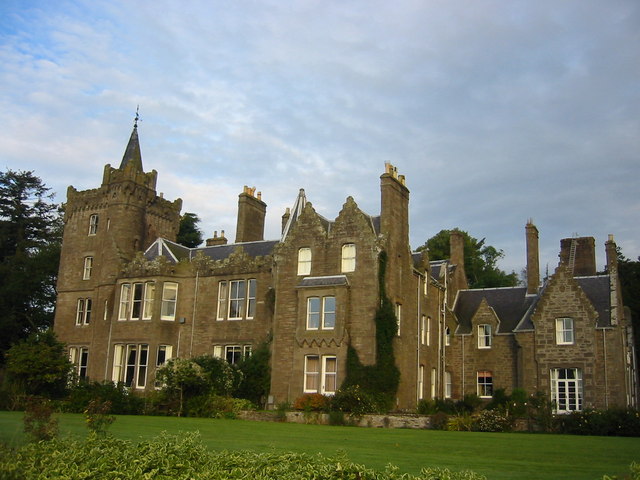
Careston Castle

Careston Castle, also known as Caraldston Castle, is an L-plan tower house dating from the 16th century, on a 1,528-acre estate, in Careston parish, Angus...

Finavon Castle

Finavon Castle lies on the River South Esk, about a quarter of a mile south of Milton of Finavon village and five miles to the north-east of Forfar in...

Tannadice, Angus

Tannadice is a village in Angus, Scotland that lies on the River South Esk and is 4 miles north of Forfar. The estate of Tannadice was formerly owned by...

Careston railway station

Careston railway station served the hamlet of Careston, Angus, Scotland, from 1895 to 1964 on the Forfar and Brechin Railway. == History == The station...

Nearby Amenities

Located within 500m of 56.721279,-2.8062242
Noranbank
Place: hamlet
Lat/Long: 56.7209481/-2.8131341
Power: pole
Lat/Long: 56.7206616/-2.8128658
Power: pole
Lat/Long: 56.7200615/-2.8124558
Power: pole
Lat/Long: 56.719468/-2.812034
Power: pole
Lat/Long: 56.7188524/-2.8116098
Power: pole
Lat/Long: 56.7182395/-2.8112021
The data included in this document is from www.openstreetmap.org. The data is made available under ODbL.

Have you been to Muirton Wood?

Leave your review of Muirton Wood below (or comments, questions and feedback).