Sixpence Strip
Wood, Forest in East Lothian
Scotland
Sixpence Strip
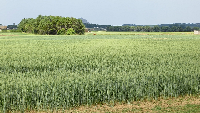
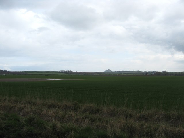
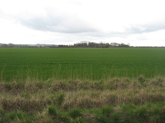
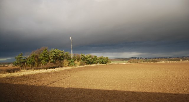
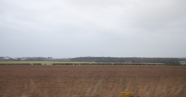
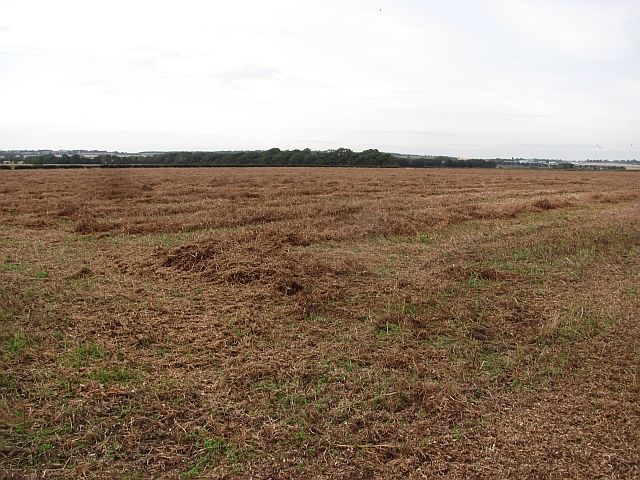
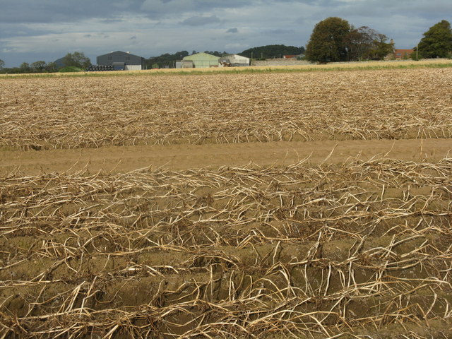
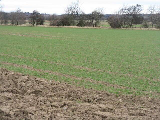
Sixpence Strip is a picturesque woodland area located in East Lothian, Scotland. Covering an extensive area, the strip is known for its dense forests and lush greenery, making it a popular destination for nature enthusiasts and hikers alike.
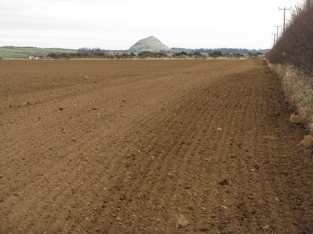
The woodland is predominantly made up of various species of trees, including oak, birch, and pine, which provide a rich and diverse habitat for a variety of wildlife. Visitors to Sixpence Strip can expect to encounter a wide range of flora and fauna, from colorful wildflowers to elusive bird species.
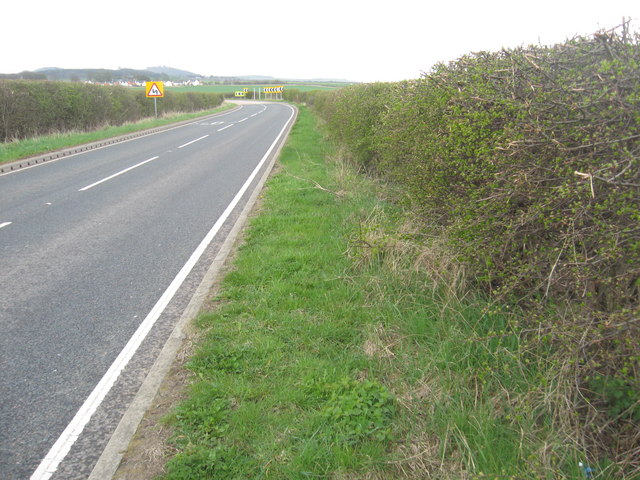
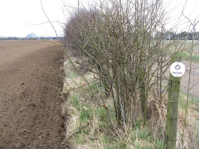
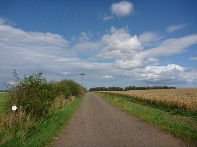
The strip is crisscrossed by a network of well-maintained walking trails, allowing visitors to explore the area at their own pace. These paths offer stunning views of the surrounding landscape and provide a tranquil escape from the hustle and bustle of everyday life. Along the trails, there are also information boards that educate visitors about the local wildlife and the importance of preserving the natural environment.
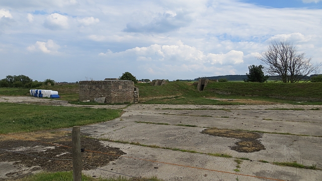
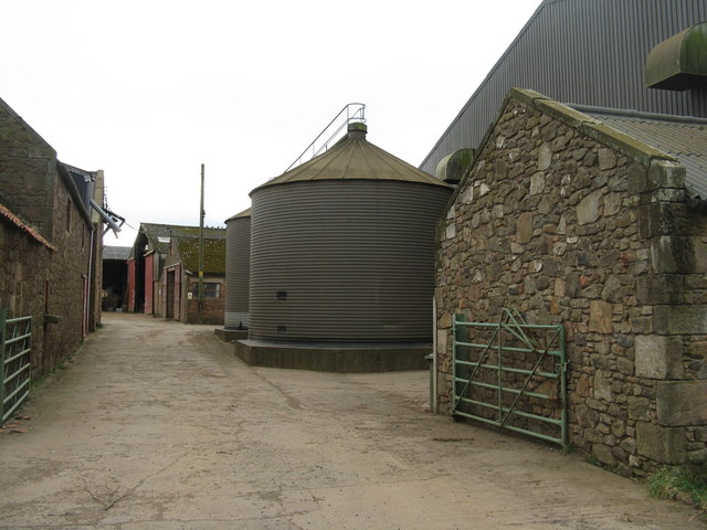
In addition to its natural beauty, Sixpence Strip boasts several amenities for visitors to enjoy. These include picnic areas, where families and friends can relax and enjoy a meal amidst the serene surroundings. There are also designated camping spots for those looking to spend a night under the stars.
Overall, Sixpence Strip in East Lothian is a captivating woodland area that offers a peaceful retreat for nature lovers. With its diverse ecosystem and well-maintained trails, it provides an opportunity to immerse oneself in the beauty of Scotland's natural landscape.
If you have any feedback on the listing, please let us know in the comments section below.
Sixpence Strip Images
Images are sourced within 2km of 55.997353/-2.8008007 or Grid Reference NT5078. Thanks to Geograph Open Source API. All images are credited.
Sixpence Strip is located at Grid Ref: NT5078 (Lat: 55.997353, Lng: -2.8008007)
Unitary Authority: East Lothian
Police Authority: The Lothians and Scottish Borders
What 3 Words
///goggle.baker.stylists. Near Aberlady, East Lothian
Nearby Locations
Related Wikis

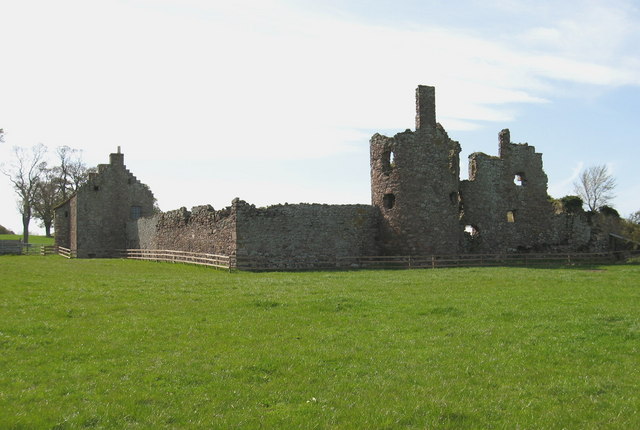
Chesters Hill Fort
Chesters Hill Fort is an Iron Age hill fort in East Lothian, Scotland. It lies 1 mile (2 kilometres) south of Drem, 1+1⁄2 mi (2.5 km) east of Ballencrieff...

Drem railway station
Drem railway station serves the small village of Drem in East Lothian, 5 miles (8 km) from the seaside town of North Berwick in Scotland. It is located...

Drem
Drem (Scottish Gaelic: Druim) is a small village in East Lothian, Scotland.It is approximately 20 miles east of Edinburgh and is close to Haddington (to...
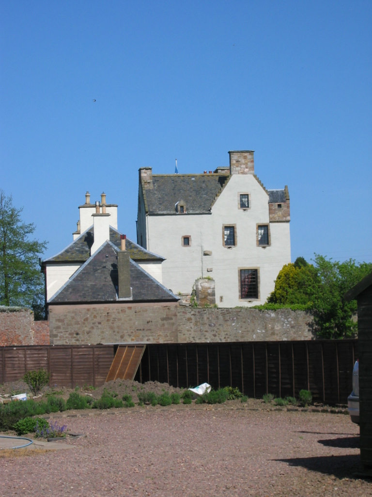
Ballencrieff Castle
Ballencrieff Castle, also known as Ballencrieff House, is a large tower house at Ballencrieff, East Lothian, Scotland. It is located three miles north...
Byres Castle
Byres Castle was a castle located at Byres, in East Lothian, Scotland. The castle was a stronghold of the Lindsay family, known as Lord Lindsay of the...

Ballencrieff, East Lothian
Ballencrieff (Scottish Gaelic: Baile na Craoibhe) is a rural community in East Lothian, Scotland. It is located between the towns of Aberlady, Drem, Haddington...
Garleton Castle
Garleton Castle is a courtyard castle, dating from the sixteenth century, about 1.5 miles (2.4 km) north of Haddington, just north of the Garleton Hills...

Hopetoun Monument
The Hopetoun Monument is a monument in the Garleton Hills, near Camptoun, East Lothian, Scotland. It is 95 feet (29 m) tall and is situated on Byres Hill...
Nearby Amenities
Located within 500m of 55.997353,-2.8008007Have you been to Sixpence Strip?
Leave your review of Sixpence Strip below (or comments, questions and feedback).