High Creoch Wood
Wood, Forest in Kirkcudbrightshire
Scotland
High Creoch Wood
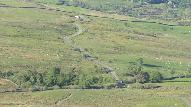
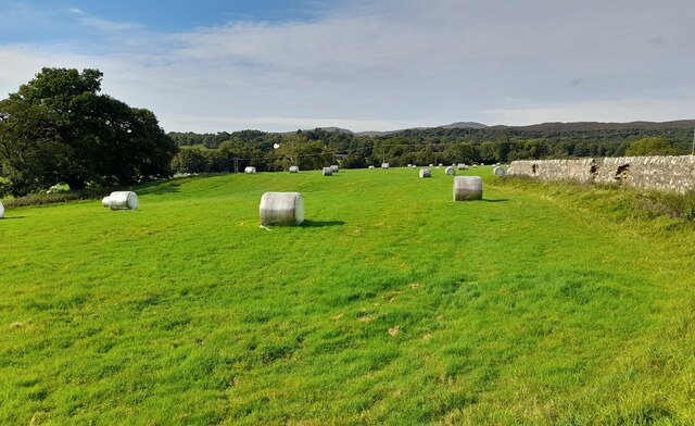
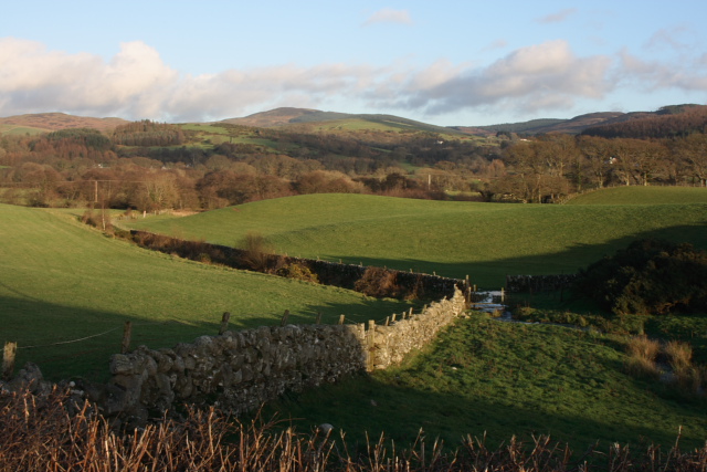
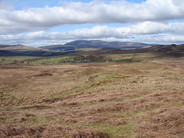
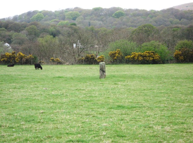
High Creoch Wood is a picturesque woodland located in the region of Kirkcudbrightshire, Scotland. Covering an area of approximately 100 hectares, this enchanting forest is known for its diverse flora and fauna, making it a popular destination for nature lovers and outdoor enthusiasts.
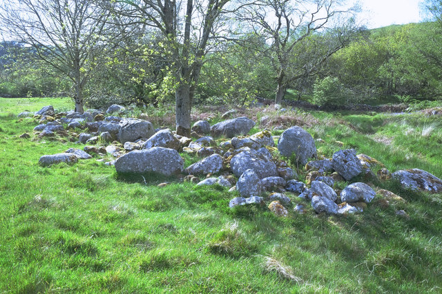
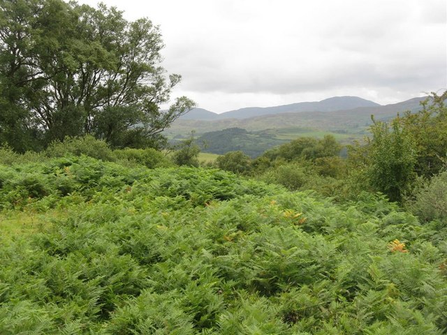
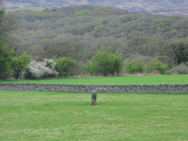
The wood is predominantly composed of native broadleaf species, including oak, birch, and ash trees, which create a lush and vibrant canopy. The forest floor is adorned with an array of wildflowers, ferns, and mosses, adding to the natural beauty of the woodland.
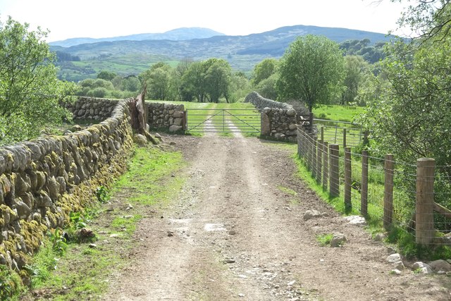
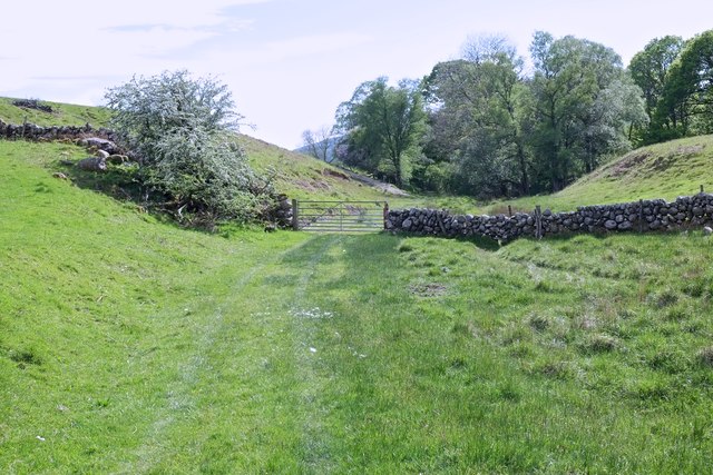
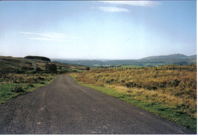
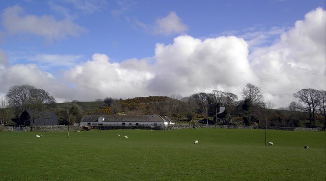
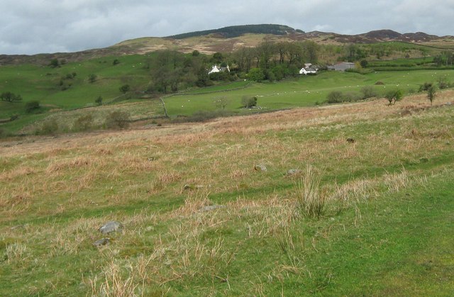
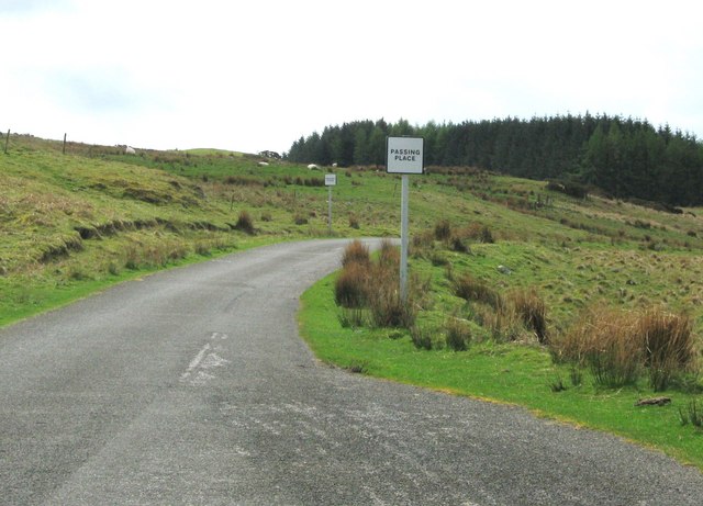
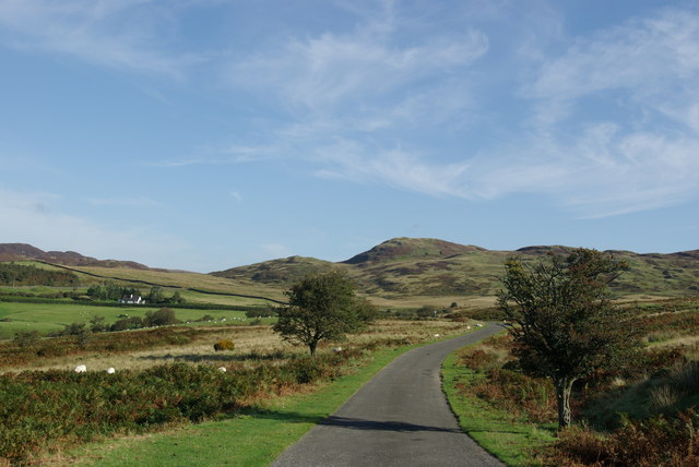
High Creoch Wood offers a network of well-maintained walking trails, allowing visitors to explore its hidden treasures. The paths wind through the forest, crossing small streams and offering breathtaking views of the surrounding countryside. Along the way, interpretive signs provide information about the various species of plants and animals that call this woodland home.
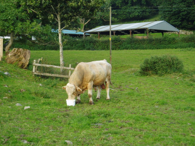
Wildlife is abundant in High Creoch Wood, with sightings of red squirrels, roe deer, and a variety of bird species being common. The forest also provides a habitat for several rare and protected species, such as the pearl-bordered fritillary butterfly and the red squirrel, making it an important conservation area.
The tranquil atmosphere of High Creoch Wood is perfect for those seeking solace and a chance to connect with nature. Whether it's a leisurely stroll, birdwatching, or simply taking in the breathtaking scenery, this woodland offers a peaceful retreat for visitors of all ages.
If you have any feedback on the listing, please let us know in the comments section below.
High Creoch Wood Images
Images are sourced within 2km of 54.901498/-4.1730817 or Grid Reference NX6058. Thanks to Geograph Open Source API. All images are credited.

High Creoch Wood is located at Grid Ref: NX6058 (Lat: 54.901498, Lng: -4.1730817)
Unitary Authority: Dumfries and Galloway
Police Authority: Dumfries and Galloway
What 3 Words
///column.layover.seasons. Near Kirkcudbright, Dumfries & Galloway
Nearby Locations
Related Wikis

Gatehouse of Fleet
Gatehouse of Fleet (Scots: Gatehoose o Fleet Scottish Gaelic: Taigh an Rathaid) is a town half in the civil parish of Girthon and half in the parish of...

Gatehouse of Fleet Town Hall
Gatehouse of Fleet Town Hall is a former municipal building in the High Street in Gatehouse of Fleet, Dumfries and Galloway, Scotland. The structure, which...
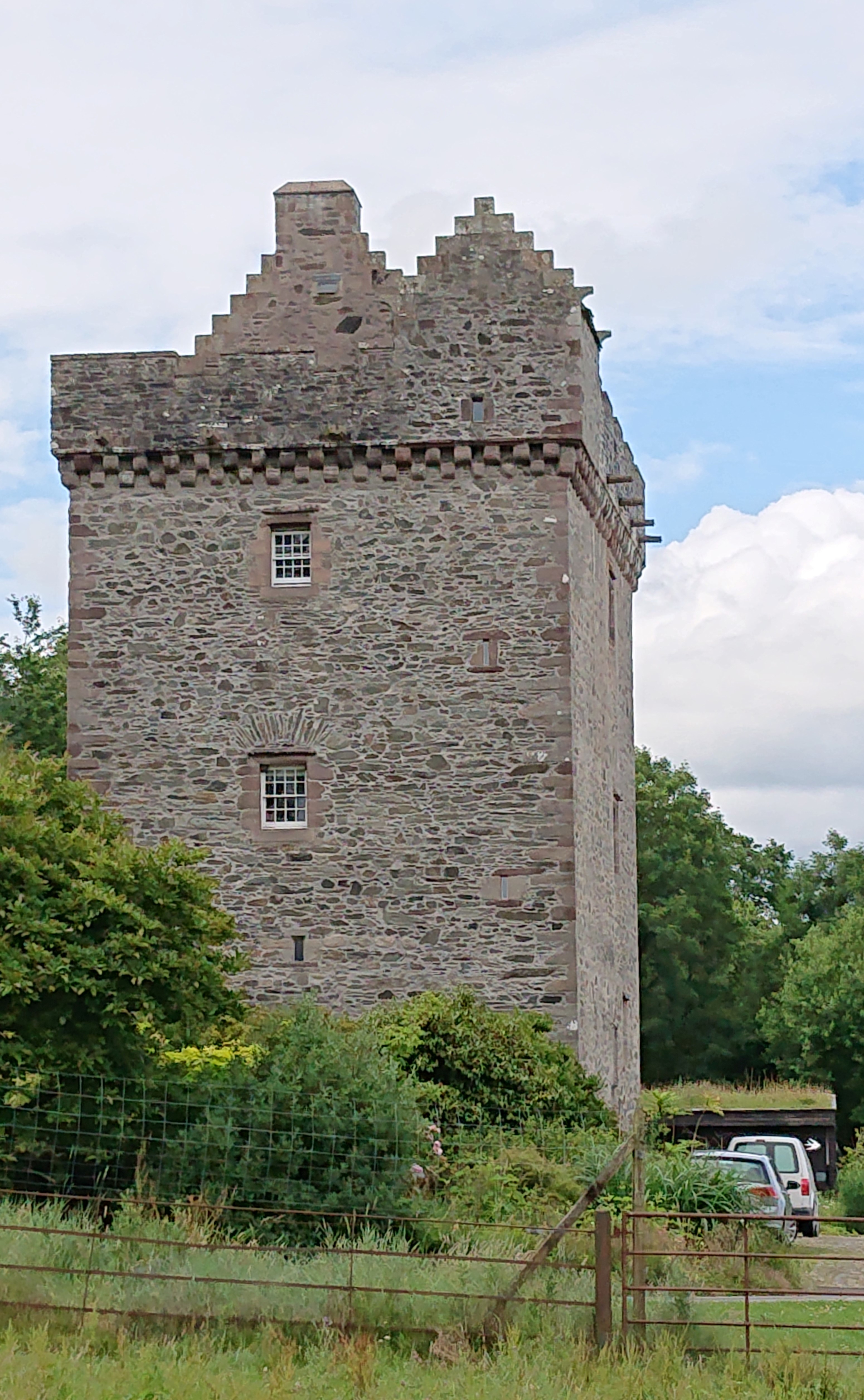
Rusco Tower
Rusco Tower, sometimes called Rusco Castle, is a tower house near Gatehouse of Fleet in Dumfries and Galloway, Scotland. Built around 1500 for Mariota...

Trusty's Hill
Trusty's Hill is a small vitrified hillfort about a mile to the west of the present-day town of Gatehouse of Fleet, in the parish of Anwoth in the Stewartry...

Rutherford's Monument
Rutherford's Monument is a commemorative monument between Anwoth and Gatehouse of Fleet in Dumfries and Galloway, Scotland. It is dedicated to the 17th...
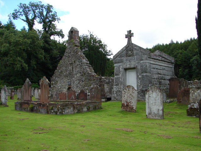
Anwoth Old Church
Anwoth Old Church is a ruined church building which was built in 1626 to serve the parish of Anwoth in Dumfries and Galloway, Scotland. It is roofless...

Anwoth
Anwoth is a settlement near the Solway Firth in the historic county of Kirkcudbrightshire, southwest Scotland, within a parish of the same name in the...

Anwoth Parish Church
Anwoth Parish Church was built in 1826 to serve the parish of Anwoth in Dumfries and Galloway, Scotland. Designed by Walter Newall, it replaced Anwoth...
Nearby Amenities
Located within 500m of 54.901498,-4.1730817Have you been to High Creoch Wood?
Leave your review of High Creoch Wood below (or comments, questions and feedback).