Coed Wern-porchell

Wood, Forest in Caernarfonshire

Wales

Coed Wern-porchell

Woodland and slate fence near Bronydd Isaf
Woodland and slate fence near Bronydd Isaf Credit: Hansjoerg Lipp

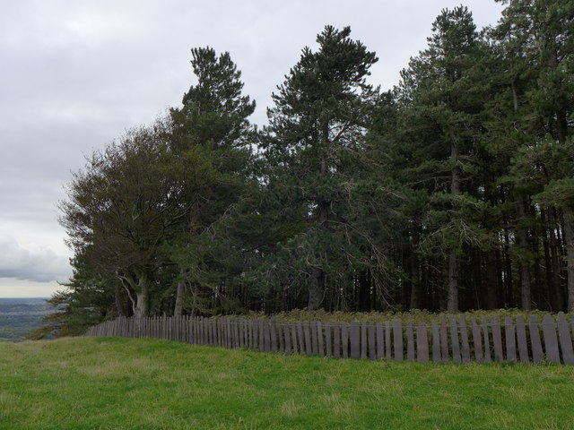
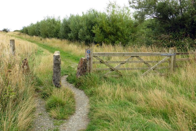
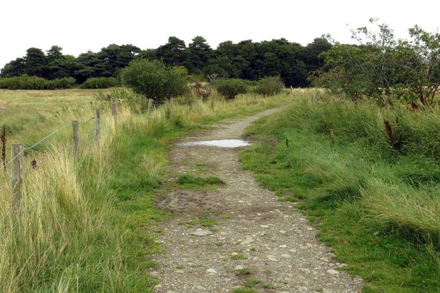
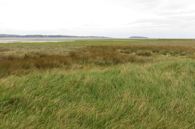
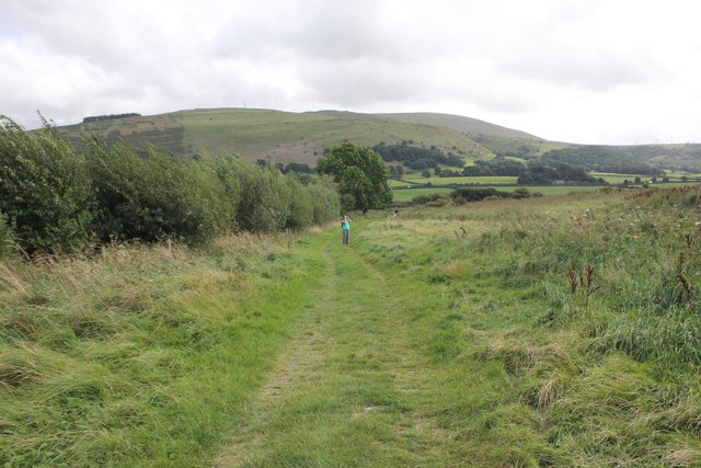
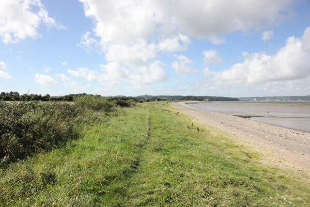
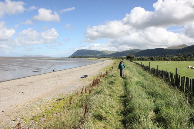
Coed Wern-porchell is a picturesque woodland area located in the county of Caernarfonshire, Wales. Spread across an approximate area of 100 acres, it is situated in close proximity to the town of Caernarfon and is easily accessible by road. The name "Coed Wern-porchell" translates to "Wood, Forest" in English, accurately describing the natural beauty and abundance of trees found within the area.

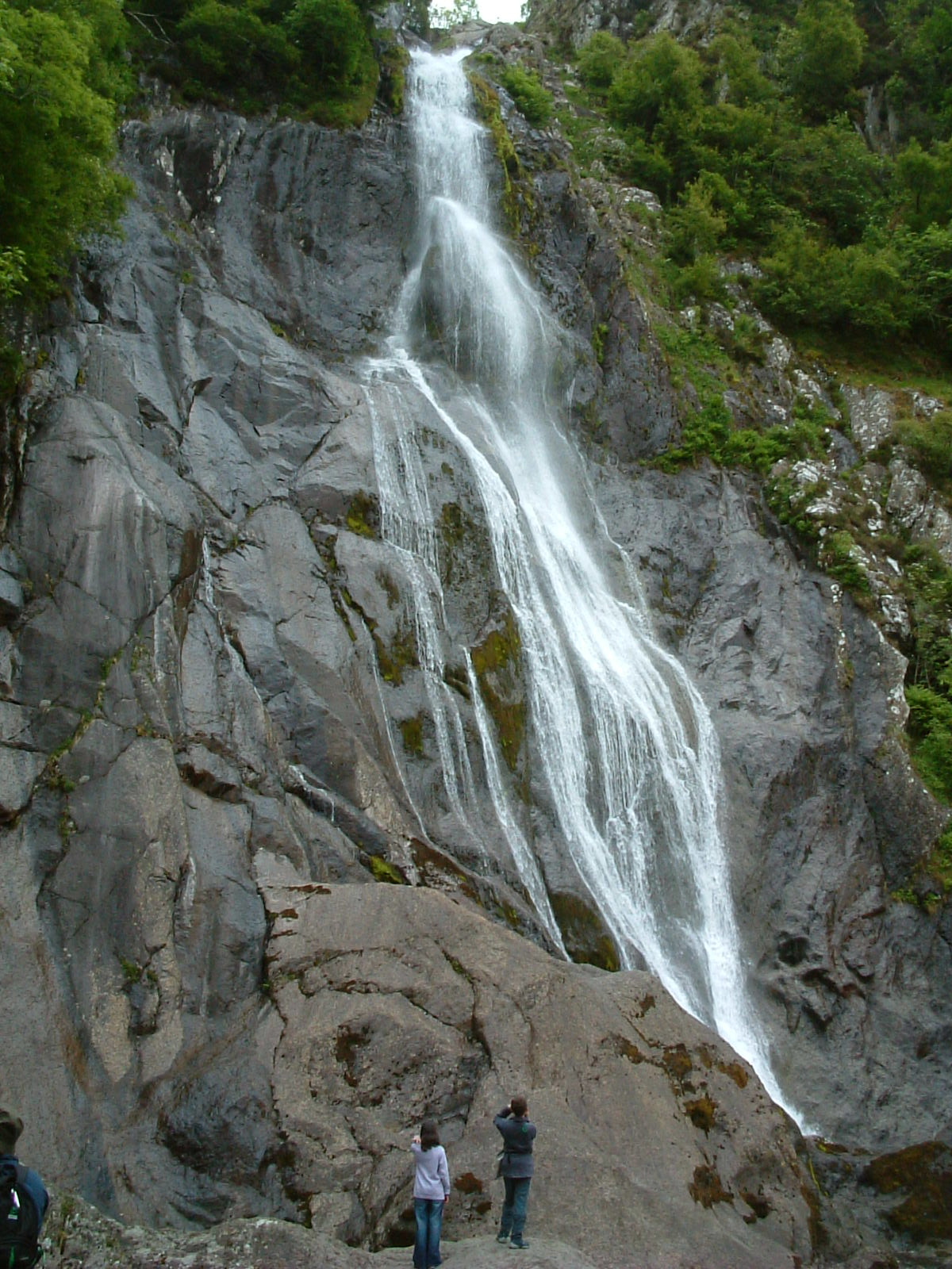
This woodland is known for its diverse range of plant and animal species, making it a popular destination for nature enthusiasts and hikers. The dominant tree species found in Coed Wern-porchell include oak, birch, and ash, creating a dense canopy that provides ample shade and habitat for various wildlife.

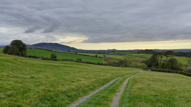
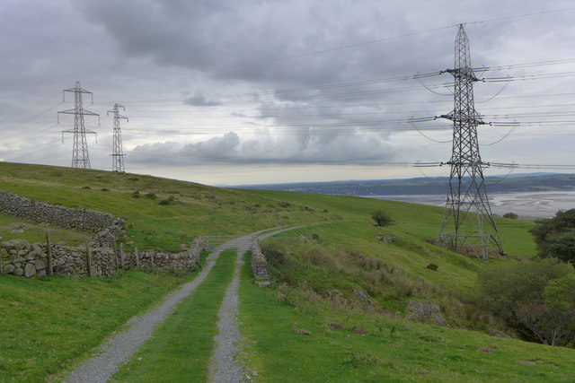
Several well-maintained trails wind their way through the woodland, offering visitors the opportunity to explore its natural wonders. Along these paths, one can encounter a variety of bird species, such as woodpeckers and owls, as well as small mammals like squirrels and rabbits.

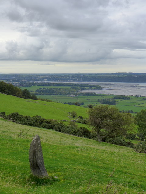
Coed Wern-porchell also holds historical significance, with remnants of ancient settlements and burial grounds scattered throughout the area. These archaeological remains provide a glimpse into the rich cultural heritage of the region.

The woodland is managed by the local authorities, ensuring its preservation and conservation for future generations. Measures are in place to protect the delicate ecosystem, and visitors are encouraged to adhere to the guidelines to maintain the natural balance of the area.

In summary, Coed Wern-porchell in Caernarfonshire offers a serene escape into nature, with its lush forests, diverse wildlife, and historical landmarks. It is a cherished destination for both locals and tourists seeking a peaceful retreat in the heart of Wales.

If you have any feedback on the listing, please let us know in the comments section below.

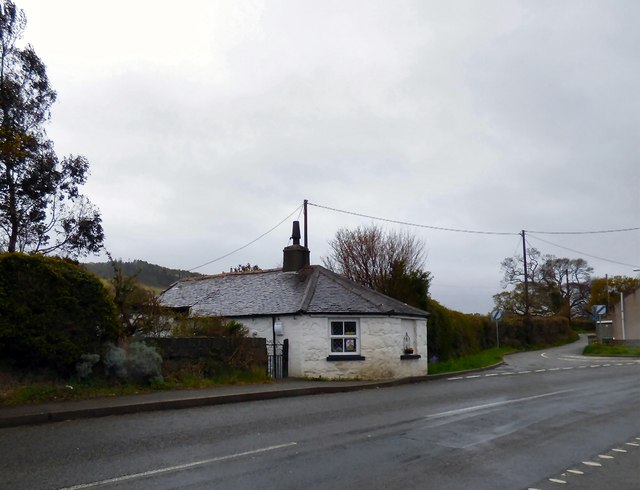
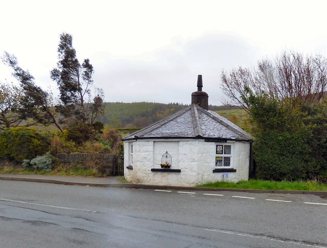
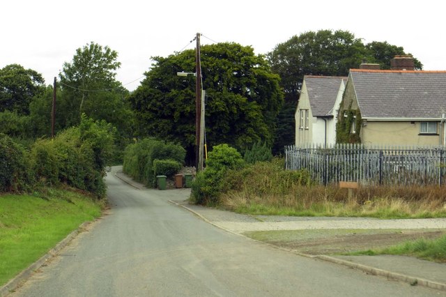
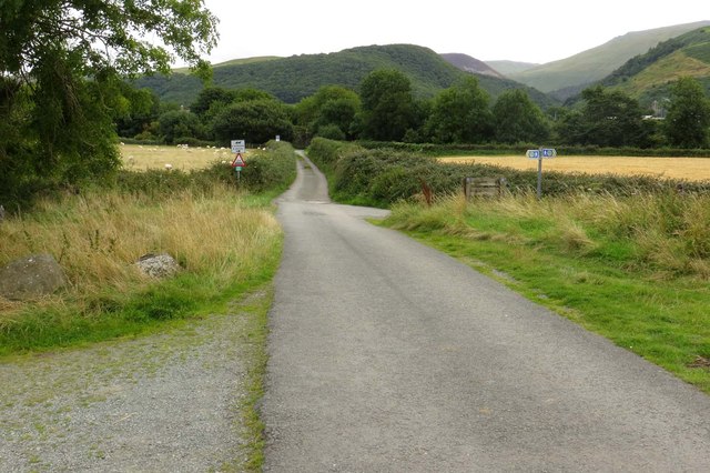
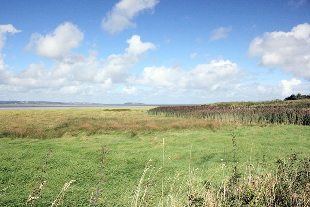
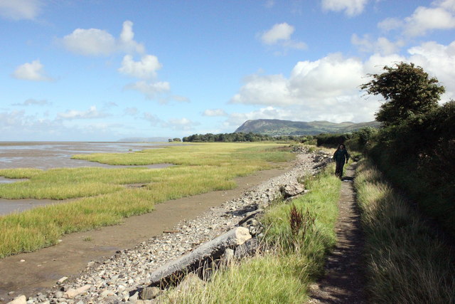
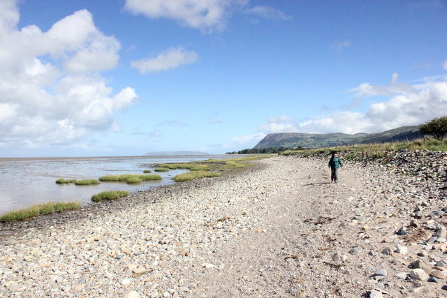
Coed Wern-porchell Images

Images are sourced within 2km of 53.225483/-4.0451024 or Grid Reference SH6371. Thanks to Geograph Open Source API. All images are credited.

Woodland and slate fence near Bronydd Isaf
North Wales Path near Bronydd Isaf
North Wales Path near Bronydd Isaf Afon Menai and Anglesey can be seen in the background.
North Wales Path near Bronydd Isaf
Afon Menai and Anglesey can be seen in the background.
Fields near Bronydd Isaf
Turnpike House, Llanllechid 
Located right on the road in Tan-y-lon at the junction between the old Bangor to Conwy road and the road which runs roughly parallel with it between Tan-y-lon and Eglwys St Cross. It was constructed as a toll house on the road which was turnpiked as part of the route between Chester and Holyhead in the 1820s.

It is Grade II listed <span class="nowrap"><a title="http://www.britishlistedbuildings.co.uk/wa-22937-turnpike-house-llanllechid" rel="nofollow ugc noopener" href="http://www.britishlistedbuildings.co.uk/wa-22937-turnpike-house-llanllechid">Link</a><img style="margin-left:2px;" alt="External link" title="External link - shift click to open in new window" src="https://s1.geograph.org.uk/img/external.png" width="10" height="10"/></span>
Turnpike House, Llanllechid
Located right on the road in Tan-y-lon at the junction between the old Bangor to Conwy road and the road which runs roughly parallel with it between Tan-y-lon and Eglwys St Cross. It was constructed as a toll house on the road which was turnpiked as part of the route between Chester and Holyhead in the 1820s. It is Grade II listed LinkExternal link
Turnpike House, Llanllechid 
Located right on road in Tan-y-lon at the junction between the old Bangor to Conwy road and the road which runs roughly parallel with it between Tan-y-lon and Eglwys St Cross. It was constructed as a toll house on the road which was turnpiked as part of the route between Chester and Holyhead in the 1820s.

It is Grade II listed <span class="nowrap"><a title="http://www.britishlistedbuildings.co.uk/wa-22937-turnpike-house-llanllechid" rel="nofollow ugc noopener" href="http://www.britishlistedbuildings.co.uk/wa-22937-turnpike-house-llanllechid">Link</a><img style="margin-left:2px;" alt="External link" title="External link - shift click to open in new window" src="https://s1.geograph.org.uk/img/external.png" width="10" height="10"/></span>
Turnpike House, Llanllechid
Located right on road in Tan-y-lon at the junction between the old Bangor to Conwy road and the road which runs roughly parallel with it between Tan-y-lon and Eglwys St Cross. It was constructed as a toll house on the road which was turnpiked as part of the route between Chester and Holyhead in the 1820s. It is Grade II listed LinkExternal link
Station Road in Abergwyngregyn
Road to Abergwyngregyn
The Wales Coast Path through Morfa Aber
Salt marsh on Morfa Aber
Birdwatching hide at Morfa Aber
The Wales Coast Path at Abergwyngregyn The Wales Coast Path as it heads west towards the car park at Abergwyngregyn.

Wikipedia <span class="nowrap"><a title="https://en.wikipedia.org/wiki/Wales_Coast_Path" rel="nofollow ugc noopener" href="https://en.wikipedia.org/wiki/Wales_Coast_Path">Link</a><img style="margin-left:2px;" alt="External link" title="External link - shift click to open in new window" src="https://s1.geograph.org.uk/img/external.png" width="10" height="10"/></span>
The Wales Coast Path at Abergwyngregyn
The Wales Coast Path as it heads west towards the car park at Abergwyngregyn. Wikipedia LinkExternal link
View across Morfa Aber Nature Reserve View across Morfa Aber Nature Reserve from the Wales Coast Path at Abergwyngregyn.
View across Morfa Aber Nature Reserve
View across Morfa Aber Nature Reserve from the Wales Coast Path at Abergwyngregyn.
The Wales Coast Path at Abergwyngregyn The Wales Coast Path heading east at Abergwyngregyn. Penmaenmawr mountain can be seen in the distance.

Wikipedia <span class="nowrap"><a title="https://en.wikipedia.org/wiki/Wales_Coast_Path" rel="nofollow ugc noopener" href="https://en.wikipedia.org/wiki/Wales_Coast_Path">Link</a><img style="margin-left:2px;" alt="External link" title="External link - shift click to open in new window" src="https://s1.geograph.org.uk/img/external.png" width="10" height="10"/></span>
The Wales Coast Path at Abergwyngregyn
The Wales Coast Path heading east at Abergwyngregyn. Penmaenmawr mountain can be seen in the distance. Wikipedia LinkExternal link
The Wales Coast Path approaching Abergwyngregyn The Wales Coast Path heading east towards Abergwyngregyn.

Wikipedia <span class="nowrap"><a title="https://en.wikipedia.org/wiki/Wales_Coast_Path" rel="nofollow ugc noopener" href="https://en.wikipedia.org/wiki/Wales_Coast_Path">Link</a><img style="margin-left:2px;" alt="External link" title="External link - shift click to open in new window" src="https://s1.geograph.org.uk/img/external.png" width="10" height="10"/></span>
The Wales Coast Path approaching Abergwyngregyn
The Wales Coast Path heading east towards Abergwyngregyn. Wikipedia LinkExternal link
The Wales Coast Path near Abergwyngregyn The Wales Coast Path heading west between Abergwyngregyn and Aber-Ogwen.

Wikipedia <span class="nowrap"><a title="https://en.wikipedia.org/wiki/Wales_Coast_Path" rel="nofollow ugc noopener" href="https://en.wikipedia.org/wiki/Wales_Coast_Path">Link</a><img style="margin-left:2px;" alt="External link" title="External link - shift click to open in new window" src="https://s1.geograph.org.uk/img/external.png" width="10" height="10"/></span>
The Wales Coast Path near Abergwyngregyn
The Wales Coast Path heading west between Abergwyngregyn and Aber-Ogwen. Wikipedia LinkExternal link
The Wales Coast Path approaching Abergwyngregyn The Wales Coast Path heading east at Wig between Abergwyngregyn and Aber-Ogwen. In the distance is Penmaenmawr Mountain.

Wikipedia <span class="nowrap"><a title="https://en.wikipedia.org/wiki/Wales_Coast_Path" rel="nofollow ugc noopener" href="https://en.wikipedia.org/wiki/Wales_Coast_Path">Link</a><img style="margin-left:2px;" alt="External link" title="External link - shift click to open in new window" src="https://s1.geograph.org.uk/img/external.png" width="10" height="10"/></span>
The Wales Coast Path approaching Abergwyngregyn
The Wales Coast Path heading east at Wig between Abergwyngregyn and Aber-Ogwen. In the distance is Penmaenmawr Mountain. Wikipedia LinkExternal link
Show me another place!

Coed Wern-porchell is located at Grid Ref: SH6371 (Lat: 53.225483, Lng: -4.0451024)

Unitary Authority: Gwynedd

Police Authority: North Wales

What 3 Words

///limit.gazed.nicknames. Near Aber, Gwynedd

Nearby Locations

Coed Wern-porchell Crymlyn

Related Wikis

Battle of Y Dalar Hir

The Battle of Y Dalar Hir took place on 5 June 1648 in Caernarfonshire, North Wales, during the Second English Civil War. While little more than a skirmish...

Coedydd Aber National Nature Reserve

Coedydd Aber National Nature Reserve lies tucked away in a steep valley on the northern flanks of the Carneddau mountains, roughly midway between Bangor...

Abergwyngregyn

Abergwyngregyn (Welsh: [abɛrɡwɨnˈɡrɛɡɨn]) is a village and community of historical note in Gwynedd, a county and principal area in Wales. Under its historic...

Powys Wenwynwyn

Powys Wenwynwyn or Powys Cyfeiliog was a Welsh kingdom which existed during the high Middle Ages. The realm was the southern portion of the former princely...

Nearby Amenities

Located within 500m of 53.225483,-4.0451024
Crymlyn
Is In: Gwynedd,Cymru,Wales,UK
Place: hamlet
Lat/Long: 53.2237329/-4.0414665
Power: pole
Lat/Long: 53.2229802/-4.048921
Power: pole
Lat/Long: 53.2253038/-4.0403486
Power: pole
Lat/Long: 53.2234978/-4.0401042
Power: pole
Lat/Long: 53.2235984/-4.0461288
Power: pole
Lat/Long: 53.2230739/-4.0407667
Power: pole
Lat/Long: 53.2240823/-4.04019
Power: pole
Lat/Long: 53.223774/-4.0403777
Power: pole
Lat/Long: 53.2244366/-4.0430416
Power: pole
Lat/Long: 53.2233431/-4.0407
Power: pole
Lat/Long: 53.2231959/-4.0479443
Power: pole
Lat/Long: 53.2255982/-4.0394068
Power: pole
Lat/Long: 53.2227286/-4.0507418
Power: pole
Lat/Long: 53.2246636/-4.0402651
Power: pole
Lat/Long: 53.222841/-4.0393666
Power: pole
Lat/Long: 53.2239405/-4.044608
Power: pole
Lat/Long: 53.2225969/-4.0506318
Power: pole
Lat/Long: 53.2260606/-4.0379825
Power: pole
Lat/Long: 53.2248959/-4.0416334
The data included in this document is from www.openstreetmap.org. The data is made available under ODbL.

Have you been to Coed Wern-porchell?

Leave your review of Coed Wern-porchell below (or comments, questions and feedback).