Seaton

Civil Parish in Cumberland Allerdale

England

Seaton

Siddick (Junction) railway station (site), Cumbria Opened in 1880 by the London & North Western Railway on the line from Barrow-in-Furness to Carlisle, this station closed in 1934. View south west towards Workington and Barrow. 
Only old maps show this was the site, where the view of the track disappears. No trace remains, unless the small hump to the right of the track is the remains of a platform.
Siddick (Junction) railway station (site), Cumbria Credit: Nigel Thompson

Seaton is a civil parish located in Cumberland County, England. It is situated near the coastal area of the Irish Sea and is a part of the Allerdale district. The parish covers an area of approximately 14 square kilometers and has a population of around 1,500 people.

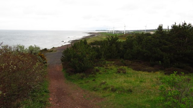
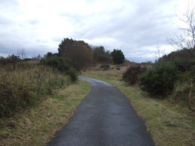
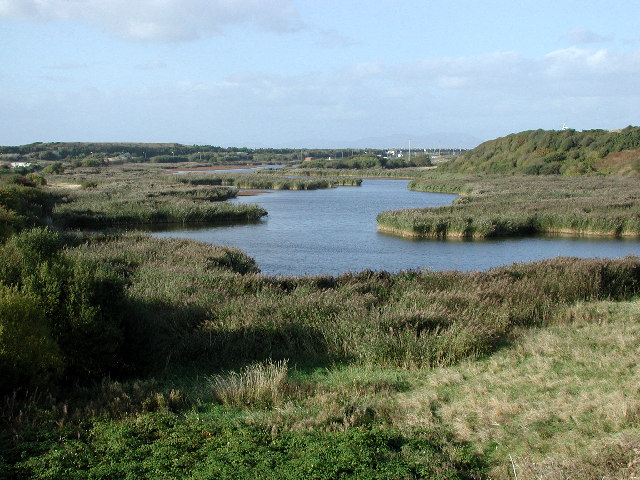
Seaton is a picturesque village known for its scenic beauty and tranquil atmosphere. The area is surrounded by stunning countryside, with rolling hills and lush green fields, making it an ideal destination for nature lovers and outdoor enthusiasts. There are several walking and cycling trails that allow visitors to explore the surrounding countryside and enjoy the breathtaking views.

The village itself has a charming and traditional feel, with a mix of old stone houses and more modern buildings. There is a primary school, a church, and a few local shops and amenities serving the needs of the residents. The community is close-knit and friendly, fostering a sense of belonging and community spirit.

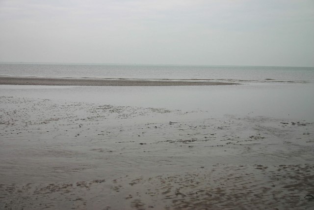
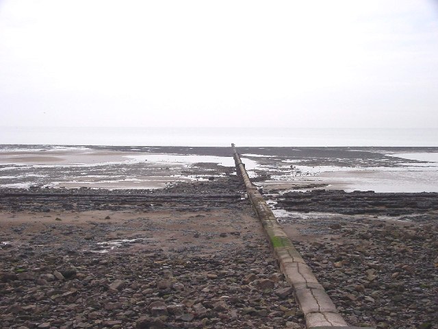
Seaton is also known for its proximity to the coast, with a beautiful sandy beach just a short distance away. This makes it a popular destination for tourists, especially during the summer months. The beach offers opportunities for swimming, sunbathing, and various water sports activities.

Overall, Seaton is a peaceful and picturesque village that offers a perfect blend of natural beauty, community spirit, and coastal charm. It is a wonderful place to live or visit for those seeking a tranquil and idyllic setting.

If you have any feedback on the listing, please let us know in the comments section below.
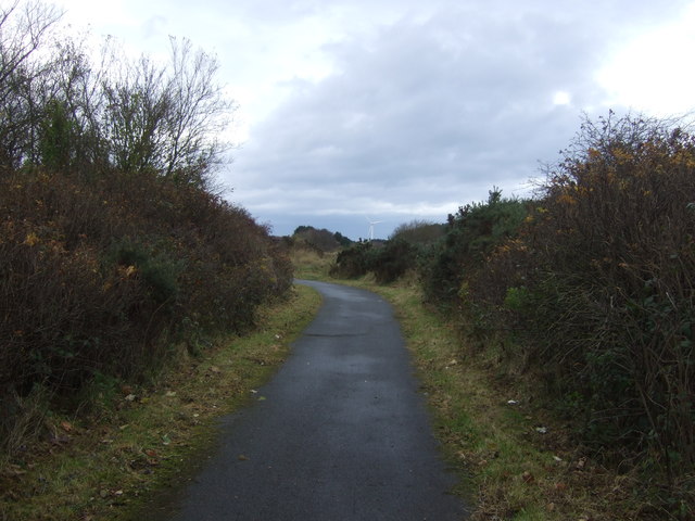
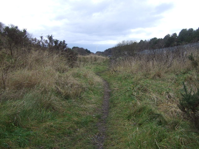
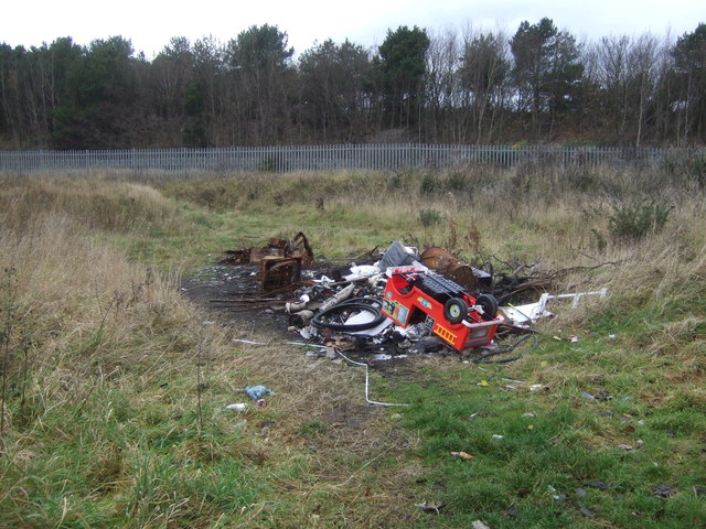
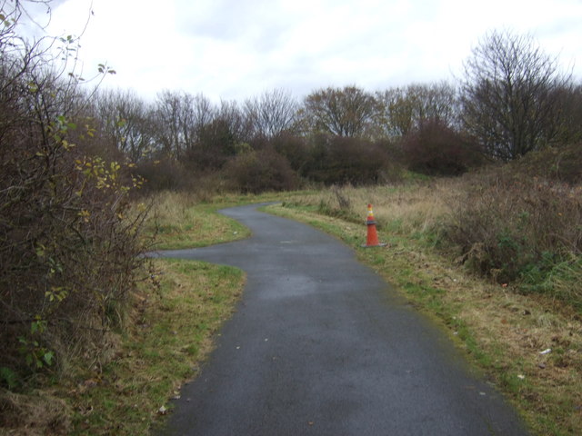
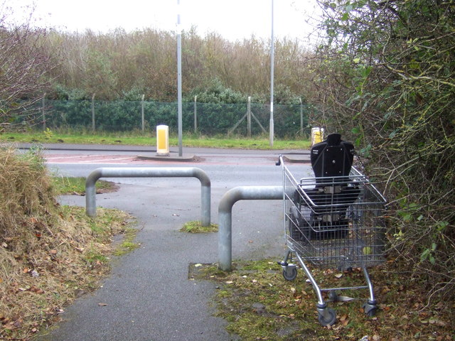
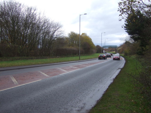
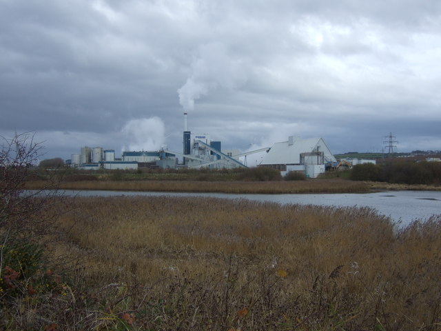
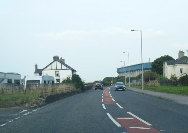
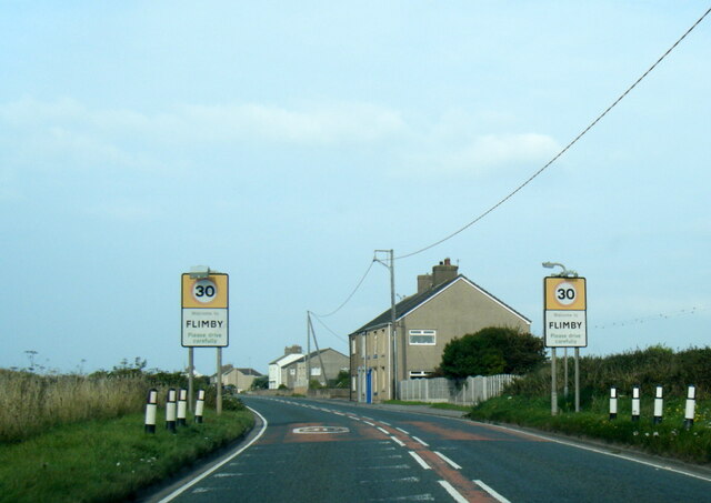
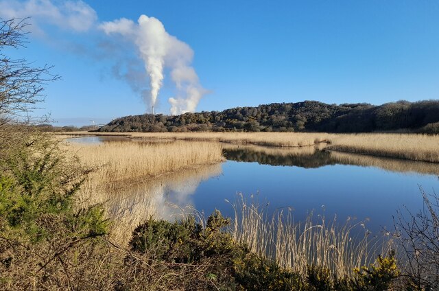
Seaton Images

Images are sourced within 2km of 54.667856/-3.525024 or Grid Reference NY0131. Thanks to Geograph Open Source API. All images are credited.

Siddick (Junction) railway station (site), Cumbria Opened in 1880 by the London & North Western Railway on the line from Barrow-in-Furness to Carlisle, this station closed in 1934. View south west towards Workington and Barrow. 
Only old maps show this was the site, where the view of the track disappears. No trace remains, unless the small hump to the right of the track is the remains of a platform.
Siddick (Junction) railway station (site), Cumbria
Opened in 1880 by the London & North Western Railway on the line from Barrow-in-Furness to Carlisle, this station closed in 1934. View south west towards Workington and Barrow. Only old maps show this was the site, where the view of the track disappears. No trace remains, unless the small hump to the right of the track is the remains of a platform.
On coast path at Siddock, north of Workington
Sand Bar Siddick Only visible at very low tide, wet and muddy to reach.
Sand Bar Siddick
Only visible at very low tide, wet and muddy to reach.
Outfall Pipe Cuts through the slag tip in foreground and runs to the low water mark.
Outfall Pipe
Cuts through the slag tip in foreground and runs to the low water mark.
Cumbrian Coast Line near Siddick Towards Workington.
Cumbrian Coast Line near Siddick
Towards Workington.
National Cycle Route 72, Siddick Beside the Cumbrian Coast Line.
Towards Workington.
National Cycle Route 72, Siddick
Beside the Cumbrian Coast Line. Towards Workington.
Path beside the Cumbrian Coast Line
Fly tipped rubbish near the Cumbrian Coast Line, Siddick
National Cycle Route 72 towards Workington
Cycle track joins the A596, Siddick
A596 towards Workington
National Cycle Route 72, Siddick Junction On a disused railway towards Workington.
National Cycle Route 72, Siddick Junction
On a disused railway towards Workington.
Siddick Ponds Nature Reserve towards Siddick Mill View from National Cycle Route 72.
Siddick Ponds Nature Reserve towards Siddick Mill
View from National Cycle Route 72.
A596 Wedgwood Street, Siddick
A596 nears St Helens Lane, Flimby
A596 Main Road at Flimby village boundary
Siddick Pond Nature Reserve Siddick Ponds is a Site of Special Scientific Interest (SSSI) and Local Nature Reserve (LNR) and one of Cumbria’s most important bird sites.

The combination of extensive reedbed and two large ponds – one freshwater, the other brackish (a mix of fresh and saltwater) – contributes to the variety of species using the site and is unique in Cumbria, attracting a distinctive community of birds throughout the year.
Siddick Pond Nature Reserve
Siddick Ponds is a Site of Special Scientific Interest (SSSI) and Local Nature Reserve (LNR) and one of Cumbria’s most important bird sites. The combination of extensive reedbed and two large ponds – one freshwater, the other brackish (a mix of fresh and saltwater) – contributes to the variety of species using the site and is unique in Cumbria, attracting a distinctive community of birds throughout the year.
Old Milestone by the A596, Siddick, Workington parish Wigton curved red stone by the A596, in parish of Workington (Allerdale District), Siddick, at entrance to Iggesund Mill, by the road.

Inscription once read:-
(Wigton)
(21)
(Workington)
(2)

Surveyed

Milestone Society National ID: CU_WGWO21
Old Milestone by the A596, Siddick, Workington parish
Wigton curved red stone by the A596, in parish of Workington (Allerdale District), Siddick, at entrance to Iggesund Mill, by the road. Inscription once read:- (Wigton) (21) (Workington) (2) Surveyed Milestone Society National ID: CU_WGWO21
Show me another place!

Seaton is located at Grid Ref: NY0131 (Lat: 54.667856, Lng: -3.525024)

Administrative County: Cumbria

District: Allerdale

Police Authority: Cumbria

What 3 Words

///hamsters.remotest.sometime. Near Flimby, Cumbria

Nearby Locations

Seaton

Related Wikis

Seaton, Cumbria

Seaton is a large village and civil parish in Cumbria, England. Historically part of Cumberland, near the Lake District National Park in England. It is...

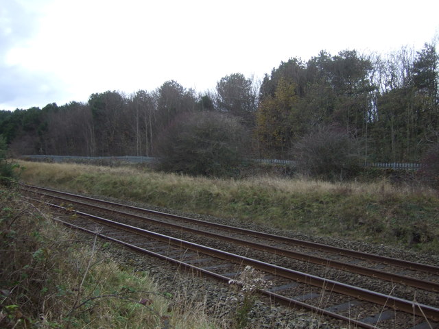
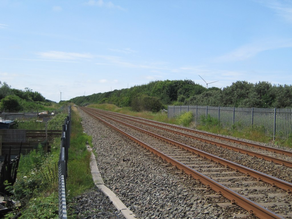
Seaton railway station (Cumbria)

Seaton railway station served the village of Seaton, near Workington in Cumberland (now in Cumbria), England.The station was opened by the Cleator and...

Siddick

Siddick is a village in Cumbria, England, historically part of Cumberland. It is situated on the A596 road, approximately 2 miles (3 km) north from the...

Siddick Junction railway station

Siddick Junction railway station was opened by the Cleator and Workington Junction (C&WJR) and London and North Western Railways in 1880 to provide exchange...

Nearby Amenities

Located within 500m of 54.667856,-3.525024
Bus Stop
Barncroft Avenue
Bench: no
Covered: yes
Naptan AtcoCode: 090002470300
Naptan Bearing: N
Naptan CommonName: Barncroft Avenue
Naptan Indicator: near
Naptan Landmark: junction with Lowca Lane
Naptan NaptanCode: cumagmaj
Naptan Street: Barncroft Avenue
Naptan Verified: no
Shelter: yes
Source: naptan_import
Lat/Long: 54.664718/-3.5289374
Bus Stop
Lowca Lane
Naptan AtcoCode: 090002470305
Naptan Bearing: N
Naptan CommonName: Lowca Lane
Naptan Indicator: opp
Naptan Landmark: Junction with Cape Road
Naptan NaptanCode: cumagmap
Naptan Street: Lowca Road
Naptan Verified: no
Source: naptan_import
Lat/Long: 54.6635648/-3.5263047
Bus Stop
Hunters Drive
Naptan AtcoCode: 090002470312
Naptan Bearing: S
Naptan CommonName: Hunters Drive
Naptan Indicator: opp
Naptan Landmark: junction with Ling Road
Naptan NaptanCode: cumagmdj
Naptan Street: Hunters Drive
Naptan Verified: no
Source: naptan_import
Lat/Long: 54.6644281/-3.5219801
Bus Stop
Main Road at playround (W bound)
Bench: no
Covered: no
Naptan AtcoCode: 090002470319
Naptan Bearing: W
Naptan CommonName: Main Road at playround (W bound)
Naptan Indicator: o/s
Naptan Landmark: no. 29
Naptan NaptanCode: cumagmdt
Naptan Street: Main Road
Naptan Verified: no
Shelter: no
Source: naptan_import
Lat/Long: 54.6646073/-3.5198781
Main Road at playground (E bound)
Naptan AtcoCode: 090002470322
Naptan Bearing: E
Naptan BusStopType: CUS
Naptan CommonName: Main Road at playground (E bound)
Naptan Indicator: opp
Naptan Landmark: no. 29
Naptan NaptanCode: cumagmdw
Naptan Street: Main Road
Naptan Verified: no
Source: naptan_import
Lat/Long: 54.6648797/-3.5196557
Turning Circle
Lat/Long: 54.6655699/-3.5208393
Turning Circle
Lat/Long: 54.6682038/-3.520732
Turning Circle
Lat/Long: 54.6654179/-3.5258604
Turning Circle
Lat/Long: 54.6661625/-3.5209037
Turning Circle
Lat/Long: 54.6677096/-3.5214657
Turning Circle
Lat/Long: 54.666724/-3.520158
Power: tower
Lat/Long: 54.6665611/-3.5308385
Power: tower
Lat/Long: 54.6677537/-3.5269956
Power: tower
Lat/Long: 54.6689381/-3.5231719
Power: tower
Lat/Long: 54.6700975/-3.5193768
Bench
Lat/Long: 54.664037/-3.5213175
Bench
Lat/Long: 54.6643333/-3.5208052
Bench
Lat/Long: 54.6645349/-3.5210037
Post Box
Ref: CA14 105
Lat/Long: 54.6642785/-3.5287901
Whitestiles
Place: locality
Lat/Long: 54.6680513/-3.519494
Generator Method: photovoltaic
Generator Orientation: south_east
Generator Output Electricity: yes
Generator Solar Modules: 15
Generator Source: solar
Generator Type: solar_photovoltaic_panel
Location: roof
Power: generator
Lat/Long: 54.6637337/-3.5220588
Generator Method: photovoltaic
Generator Orientation: south_east
Generator Output Electricity: yes
Generator Solar Modules: 12
Generator Source: solar
Generator Type: solar_photovoltaic_panel
Location: roof
Power: generator
Lat/Long: 54.6648921/-3.5222768
Generator Method: photovoltaic
Generator Orientation: south_east
Generator Output Electricity: yes
Generator Solar Modules: 12
Generator Source: solar
Generator Type: solar_photovoltaic_panel
Location: roof
Power: generator
Lat/Long: 54.6657222/-3.5204226
Generator Method: photovoltaic
Generator Orientation: south_east
Generator Output Electricity: yes
Generator Solar Modules: 12
Generator Source: solar
Generator Type: solar_photovoltaic_panel
Location: roof
Power: generator
Lat/Long: 54.6657761/-3.5203516
Generator Method: photovoltaic
Generator Orientation: east
Generator Output Electricity: yes
Generator Solar Modules: 8
Generator Source: solar
Generator Type: solar_photovoltaic_panel
Location: roof
Power: generator
Lat/Long: 54.666538/-3.5192013
Generator Method: photovoltaic
Generator Orientation: west
Generator Output Electricity: yes
Generator Solar Modules: 8
Generator Source: solar
Generator Type: solar_photovoltaic_panel
Location: roof
Power: generator
Lat/Long: 54.6665417/-3.5192481
Generator Method: photovoltaic
Generator Orientation: south_east
Generator Output Electricity: yes
Generator Solar Modules: 16
Generator Source: solar
Generator Type: solar_photovoltaic_panel
Location: roof
Power: generator
Lat/Long: 54.6650298/-3.528791
Generator Method: photovoltaic
Generator Orientation: south
Generator Output Electricity: yes
Generator Solar Modules: 6
Generator Source: solar
Generator Type: solar_photovoltaic_panel
Location: roof
Power: generator
Lat/Long: 54.6638529/-3.527788
Generator Method: photovoltaic
Generator Orientation: south_west
Generator Output Electricity: yes
Generator Solar Modules: 8
Generator Source: solar
Generator Type: solar_photovoltaic_panel
Location: roof
Power: generator
Lat/Long: 54.6639384/-3.5286683
Generator Method: photovoltaic
Generator Orientation: south_east
Generator Output Electricity: yes
Generator Solar Modules: 6
Generator Source: solar
Generator Type: solar_photovoltaic_panel
Location: roof
Power: generator
Lat/Long: 54.6639057/-3.5285509
The data included in this document is from www.openstreetmap.org. The data is made available under ODbL.

Have you been to Seaton?

Leave your review of Seaton below (or comments, questions and feedback).