Wood End

Settlement in Staffordshire

England

Wood End

Council Housing - Castlebridge Estate Wednesfield UDC developed the Castlebridge Estate in the early 1950s with a cluster of four storey blocks beside the Wyley & Essington Canal.
Council Housing - Castlebridge Estate Credit: John M

Wood End is a small village located in the county of Staffordshire, England. Situated approximately 6 miles north of the town of Lichfield, Wood End is nestled in a rural area surrounded by picturesque countryside and farmland.

The village itself is characterized by its quaint charm and traditional architecture. The local community primarily comprises of residential properties, including a mix of period cottages and modern homes. The population of Wood End is relatively small, with approximately 500 residents, fostering a tight-knit and friendly atmosphere.

A notable feature of Wood End is the presence of a village hall, which serves as a hub for various community events and gatherings. The hall hosts a range of activities, such as meetings, social events, and clubs, providing residents with opportunities to engage and socialize with one another.

Wood End benefits from its proximity to the larger towns and cities in the region. The nearby town of Lichfield offers a wider range of amenities, including shops, restaurants, and leisure facilities. The village is also conveniently located near major road networks, providing easy access to neighboring areas.

The surrounding natural beauty of Wood End makes it an attractive location for outdoor enthusiasts. The village is surrounded by numerous walking trails and cycle paths, allowing residents and visitors to explore and enjoy the stunning Staffordshire countryside.

Overall, Wood End is a tranquil and idyllic village, offering a peaceful rural lifestyle while still providing access to essential amenities and nearby urban areas.

If you have any feedback on the listing, please let us know in the comments section below.
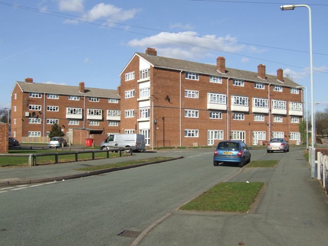
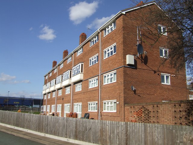
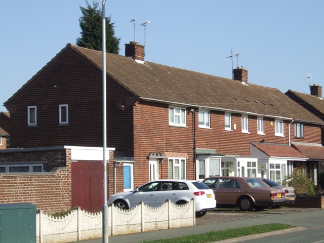
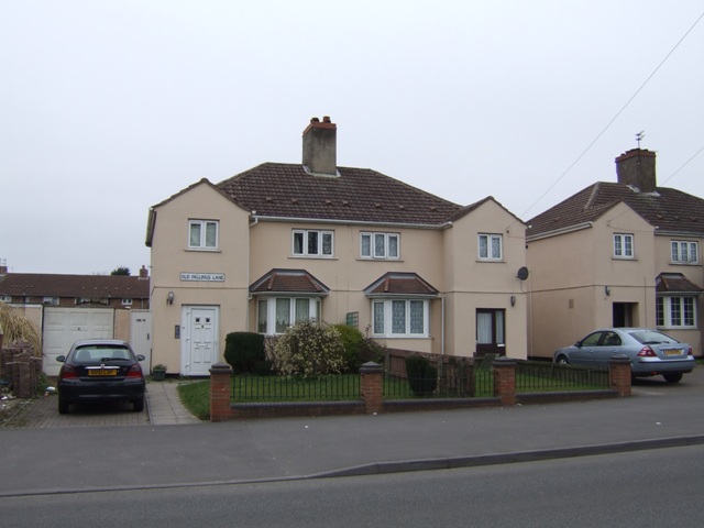
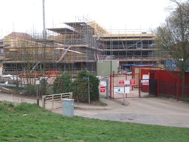
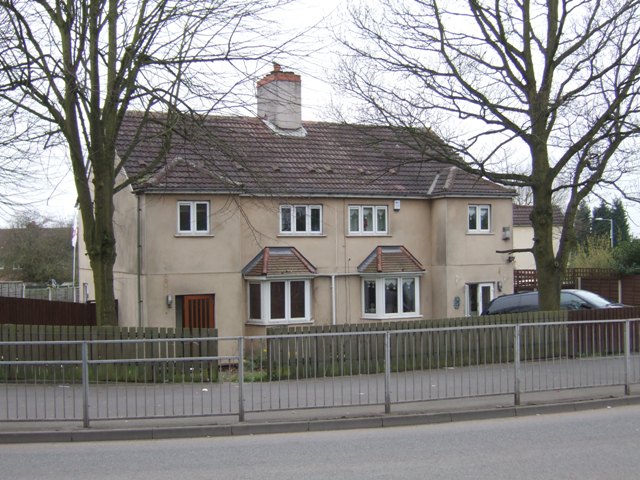
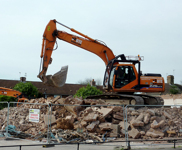
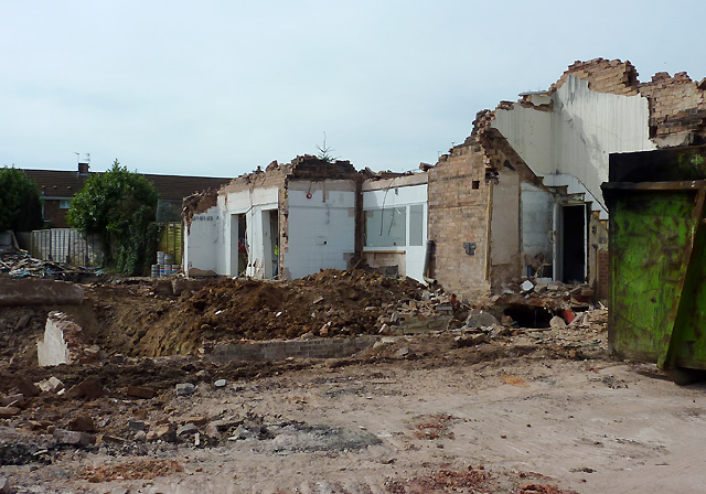
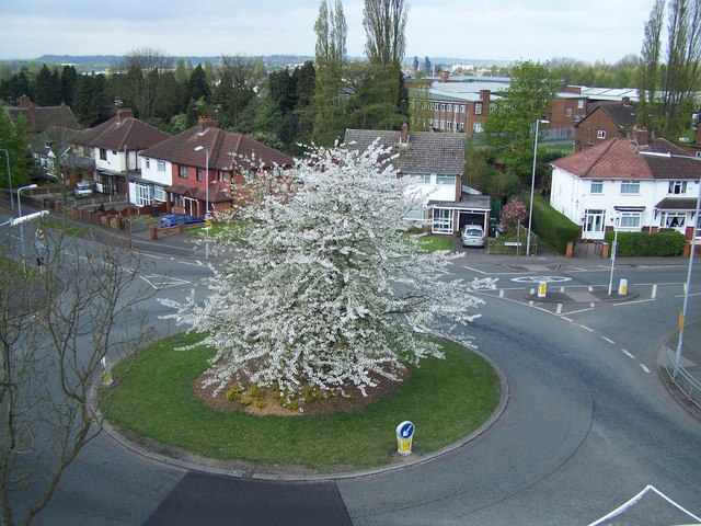
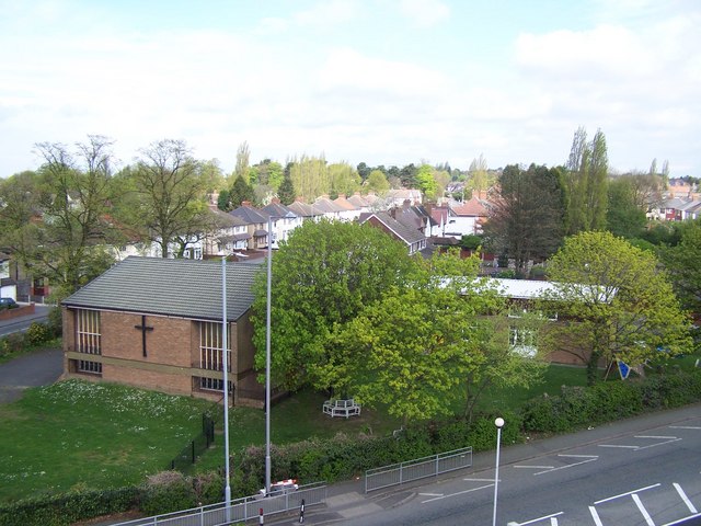
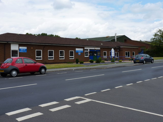
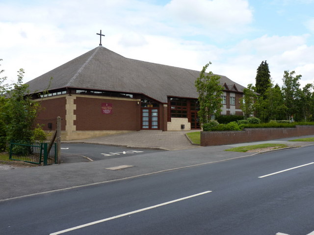
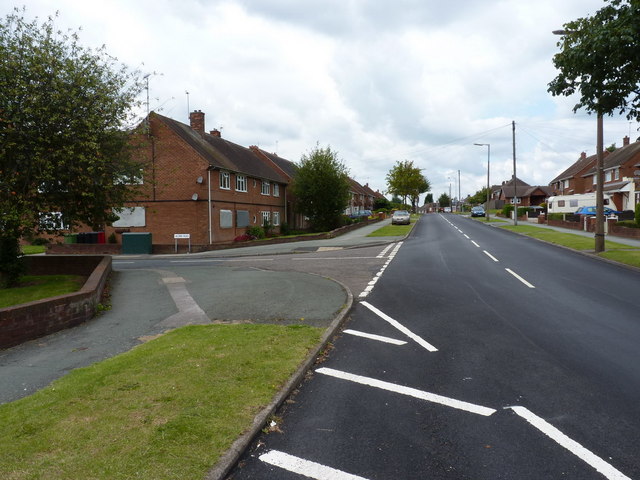
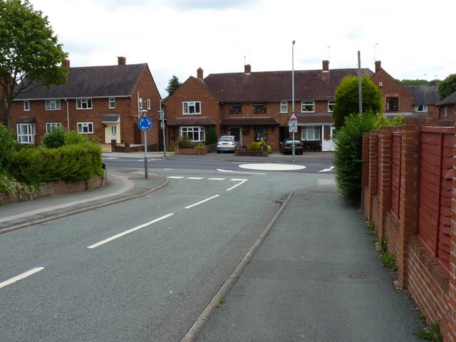
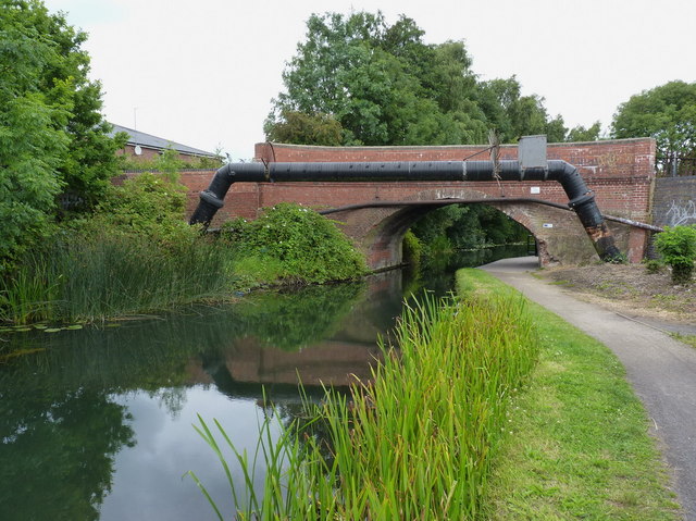
Wood End Images

Images are sourced within 2km of 52.611059/-2.0826135 or Grid Reference SJ9401. Thanks to Geograph Open Source API. All images are credited.

Council Housing - Castlebridge Estate Wednesfield UDC developed the Castlebridge Estate in the early 1950s with a cluster of four storey blocks beside the Wyley & Essington Canal.
Council Housing - Castlebridge Estate
Wednesfield UDC developed the Castlebridge Estate in the early 1950s with a cluster of four storey blocks beside the Wyley & Essington Canal.
Council Housing - Castlebridge Estate Wednesfield UDC developed the Castlebridge Estate in the early 1950s. This block comprises sixteen flats.
Council Housing - Castlebridge Estate
Wednesfield UDC developed the Castlebridge Estate in the early 1950s. This block comprises sixteen flats.
Council Housing - Merrick Road Post war housing built for Wednesfield UDC on the early 1950s Castlebridge Estate.
Council Housing - Merrick Road
Post war housing built for Wednesfield UDC on the early 1950s Castlebridge Estate.
Last days of the New Highcroft The locally listed public house on the 1930s council estate is being demolished to make way for a care home. Local residents are pleased to see it go.<a href="https://www.geograph.org.uk/photo/458309">SJ9201 : The New Highcroft, Old Fallings, Wolverhampton</a>
Last days of the New Highcroft
The locally listed public house on the 1930s council estate is being demolished to make way for a care home. Local residents are pleased to see it go.SJ9201 : The New Highcroft, Old Fallings, Wolverhampton
Council Housing - Old Fallings Lane Late 1920s housing on the edge of the Bushbury Estate.
Council Housing - Old Fallings Lane
Late 1920s housing on the edge of the Bushbury Estate.
Re-branded outlet at 'The Scotlands' Compare and contrast with <a href="https://www.geograph.org.uk/photo/426874">SJ9301 : Not an open invitation at 'The Scotlands'</a> and <a href="https://www.geograph.org.uk/photo/1572796">SJ9301 : Invitation withdrawn at The Scotlands?</a>.
Re-branded outlet at 'The Scotlands'
Moreton School - Bushbury Hill One of two new junior schools to be built this year. The all timber design is similar to the award winning scheme in Blakenhall. The ridge of Bushbury Hill is a finger of open fields with views out into South Staffordshire and Shropshire. The original Bushbury Hill School was built to serve the council estates of Low Hill of the late 1920s and early 1930s. I am told that the school was opened around 1934 by minor royalty.
Moreton School - Bushbury Hill
One of two new junior schools to be built this year. The all timber design is similar to the award winning scheme in Blakenhall. The ridge of Bushbury Hill is a finger of open fields with views out into South Staffordshire and Shropshire. The original Bushbury Hill School was built to serve the council estates of Low Hill of the late 1920s and early 1930s. I am told that the school was opened around 1934 by minor royalty.
Council Housing - Old Fallings Lane Concrete houses dating from late 1920s.
Council Housing - Old Fallings Lane
Concrete houses dating from late 1920s.
Demolishing The New Highcroft at Old Fallings, Wolverhampton See also <a href="https://www.geograph.org.uk/photo/458309">SJ9201 : The New Highcroft, Old Fallings, Wolverhampton</a>
Demolishing The New Highcroft at Old Fallings, Wolverhampton
Demolishing The New Highcroft at Old Fallings, Wolverhampton See also <a href="https://www.geograph.org.uk/photo/458309">SJ9201 : The New Highcroft, Old Fallings, Wolverhampton</a>
Demolishing The New Highcroft at Old Fallings, Wolverhampton
Roundabout At Newbolds Taken from the tower of Our Lady Of Perpetual Succour RC Church
Roundabout At Newbolds
Taken from the tower of Our Lady Of Perpetual Succour RC Church
Old Fallings United Reformed Church Taken from the tower of Our Lady Of Perpetual Succour RC Church
Old Fallings United Reformed Church
Taken from the tower of Our Lady Of Perpetual Succour RC Church
Ashmore Park Health Centre
The Corpus Christi Catholic Church, Ashmore Park Located at the southern end of Ashmore Avenue, at the junction with Griffiths Drive
The Corpus Christi Catholic Church, Ashmore Park
Located at the southern end of Ashmore Avenue, at the junction with Griffiths Drive
Griffiths Drive and Acorn Road, Ashmore Park area
Thornley Road joins Griffiths Drive, Ashmore Park
Moathouse Lane bridge over the Essington and Wyrley canal No longer a drivable road; the bridge now carries a cycleway and footpath.
Moathouse Lane bridge over the Essington and Wyrley canal
No longer a drivable road; the bridge now carries a cycleway and footpath.
Show me another place!

Wood End is located at Grid Ref: SJ9401 (Lat: 52.611059, Lng: -2.0826135)

Unitary Authority: Wolverhampton

Police Authority: West Midlands

What 3 Words

///bleak.steps.twig. Near Wednesfield, West Midlands

Nearby Locations

Wood End

Related Wikis

Wood End, Wolverhampton

Wood End is a suburb of Wolverhampton, West Midlands, England. It is situated to the north-east of the city centre, adjacent to the border with Staffordshire...

Willenhall Town F.C.

Willenhall Town Football Club are a football club based in Willenhall, West Midlands, England, who last played in the West Midlands (Regional) League....

Wednesfield F.C.

Wednesfield Football Club are a football club based in Wednesfield, West Midlands, England. They were established in 1961. They have reached the 3rd round...

Wolverhampton United F.C.

Wolverhampton United Football Club was a football club based in Wolverhampton, England. They were based at Prestwood Road in the Wednesfield area of the...

Nearby Amenities

Located within 500m of 52.611059,-2.0826135
Bus Stop
Ridge Lane / Wootton Avenue
Bus: yes
Naptan AtcoCode: 43000770901
Naptan Bearing: N
Naptan BusStopType: MKD
Naptan CommonName: Wootton Avenue
Naptan Indicator: before
Naptan NaptanCode: nwmtdapa
Naptan PlusbusZoneRef: BHAMNWS
Naptan Status: ACT
Naptan StopType: BCT
Naptan Street: RIDGE LANE
Naptan Towards: New Invention
Naptan Verified: no
Public Transport: platform
Route Ref: 25;28E;69
Source: WMCA
Lat/Long: 52.6096468/-2.0793187
Bus Stop
Ridge Lane / Wootton Avenue
Asset Ref: 0770902
Bus: yes
Location: Ridge Lane;Wootton Avenue
Naptan AtcoCode: 43000770902
Naptan Bearing: S
Naptan BusStopType: MKD
Naptan CommonName: Wootton Avenue
Naptan Indicator: after
Naptan NaptanCode: nwmtdapd
Naptan PlusbusZoneRef: BHAMNWS
Naptan Status: ACT
Naptan StopType: BCT
Naptan Street: RIDGE LANE
Naptan Towards: Wolverhampton
Naptan Verified: yes
Public Transport: platform
Route Ref: 25;28E;69
Shelter: no
Source: WMCA
Towards: Wolverhampton
Lat/Long: 52.6098472/-2.0792675
Bus Stop
Moat House Lane West / Wood End Rd
Bus: yes
Naptan AtcoCode: 43000771001
Naptan Bearing: SW
Naptan BusStopType: MKD
Naptan CommonName: Wood End Rd
Naptan Indicator: before
Naptan NaptanCode: nwmtdapg
Naptan PlusbusZoneRef: BHAMNWS
Naptan Status: ACT
Naptan StopType: BCT
Naptan Street: MOAT HOUSE LANE WEST
Naptan Towards: Wolverhampton
Naptan Verified: no
Public Transport: platform
Route Ref: 25;28E;69
Source: WMCA
Lat/Long: 52.6082174/-2.0793014
Bus Stop
Moat House Lane West / Wood End Rd
Bus: yes
Naptan AtcoCode: 43000771002
Naptan Bearing: NE
Naptan BusStopType: MKD
Naptan CommonName: Wood End Rd
Naptan Indicator: after
Naptan NaptanCode: nwmtdapj
Naptan PlusbusZoneRef: BHAMNWS
Naptan Status: ACT
Naptan StopType: BCT
Naptan Street: MOAT HOUSE LANE WEST
Naptan Towards: New Invention
Naptan Verified: no
Public Transport: platform
Route Ref: 25;28E;69
Source: WMCA
Lat/Long: 52.6083613/-2.0792426
Bus Stop
Bellamy Lane / Anston Way
Bus: yes
Naptan AtcoCode: 43000771701
Naptan Bearing: W
Naptan BusStopType: MKD
Naptan CommonName: Anston Way
Naptan Indicator: adj
Naptan Landmark: The Castle
Naptan NaptanCode: nwmtdapw
Naptan PlusbusZoneRef: BHAMNWS
Naptan Status: ACT
Naptan StopType: BCT
Naptan Street: BELLAMY LANE
Naptan Towards: Wolverhampton
Naptan Verified: no
Public Transport: platform
Route Ref: 28E;50
Source: WMCA
Lat/Long: 52.6074877/-2.0814413
Bus Stop
Bellamy Lane / Anston Way
Bus: yes
Naptan AtcoCode: 43000771702
Naptan Bearing: E
Naptan BusStopType: MKD
Naptan CommonName: Anston Way
Naptan Indicator: opp
Naptan Landmark: The Castle
Naptan NaptanCode: nwmtdata
Naptan PlusbusZoneRef: BHAMNWS
Naptan Status: ACT
Naptan StopType: BCT
Naptan Street: BELLAMY LANE
Naptan Towards: Ashmore Park
Naptan Verified: no
Public Transport: platform
Route Ref: 28E;50;65
Source: WMCA
Lat/Long: 52.6075687/-2.0814267
Bus Stop
Bellamy Lane / Orchard Rd
Bus: yes
Naptan AtcoCode: 43000771801
Naptan Bearing: W
Naptan BusStopType: MKD
Naptan CommonName: Orchard Rd
Naptan Indicator: opp
Naptan NaptanCode: nwmtdatd
Naptan PlusbusZoneRef: BHAMNWS
Naptan Status: ACT
Naptan StopType: BCT
Naptan Street: BELLAMY LANE
Naptan Towards: Wolverhampton
Naptan Verified: no
Public Transport: platform
Route Ref: 28E;50;65
Source: WMCA
Lat/Long: 52.6079348/-2.0859636
Bus Stop
Bellamy Lane / Orchard Rd
Bus: yes
Naptan AtcoCode: 43000771802
Naptan Bearing: E
Naptan BusStopType: MKD
Naptan CommonName: Orchard Rd
Naptan Indicator: after
Naptan NaptanCode: nwmtdatg
Naptan PlusbusZoneRef: BHAMNWS
Naptan Status: ACT
Naptan StopType: BCT
Naptan Street: BELLAMY LANE
Naptan Towards: Ashmore Park
Naptan Verified: no
Public Transport: platform
Route Ref: 28E;50;65
Source: WMCA
Lat/Long: 52.6080693/-2.0853558
Bus Stop
Lower Prestwood Rd / Long Knowle Lane
NaPTANAreaCode: 43000772401
Bus: yes
Naptan AtcoCode: 43000772401
Naptan Bearing: NE
Naptan BusStopType: MKD
Naptan CommonName: Long Knowle Lane
Naptan Indicator: adj
Naptan Landmark: The Red Lion
Naptan NaptanCode: nwmjpapj
Naptan PlusbusZoneRef: BHAMNWS
Naptan Status: ACT
Naptan StopType: BCT
Naptan Street: LOWER PRESTWOOD RD
Naptan Towards: Ashmore Park
Naptan Verified: no
Public Transport: platform
Route Ref: 25;50;57;69
Shelter: yes
Shelter Ref: 102015
Source: WMCA
Lat/Long: 52.6094333/-2.0887255
Bus Stop
Lower Prestwood Rd / Wood End Rd
NaPTANAreaCode: 43000772501
Bus: yes
Naptan AtcoCode: 43000772501
Naptan Bearing: NE
Naptan BusStopType: MKD
Naptan CommonName: Wood End Rd
Naptan Indicator: before
Naptan NaptanCode: nwmjpapm
Naptan PlusbusZoneRef: BHAMNWS
Naptan Status: ACT
Naptan StopType: BCT
Naptan Street: LOWER PRESTWOOD RD
Naptan Towards: Ashmore Park
Naptan Verified: no
Public Transport: platform
Route Ref: 25;50;57;65;69
Shelter: yes
Shelter Ref: 102126
Source: WMCA
Lat/Long: 52.6111964/-2.0843
Bus Stop
Lower Prestwood Rd / Wood End Rd
NaPTANAreaCode: 43000772502
Bus: yes
Naptan AtcoCode: 43000772502
Naptan Bearing: SW
Naptan BusStopType: MKD
Naptan CommonName: Wood End Rd
Naptan Indicator: after
Naptan NaptanCode: nwmjpapt
Naptan PlusbusZoneRef: BHAMNWS
Naptan Status: ACT
Naptan StopType: BCT
Naptan Street: LOWER PRESTWOOD RD
Naptan Towards: Wolverhampton
Naptan Verified: no
Public Transport: platform
Route Ref: 25;50;69
Shelter: yes
Shelter Ref: 102119
Source: WMCA
Lat/Long: 52.611325/-2.0836637
Bus Stop
Linthouse Lane / Prestwood Avenue
Bus: yes
Naptan AtcoCode: 43000772601
Naptan Bearing: W
Naptan BusStopType: MKD
Naptan CommonName: Prestwood Avenue
Naptan Indicator: adj
Naptan Landmark: The Pheasant
Naptan NaptanCode: nwmjpapw
Naptan PlusbusZoneRef: BHAMNWS
Naptan Status: ACT
Naptan StopType: BCT
Naptan Street: LINTHOUSE LANE
Naptan Towards: Wolverhampton
Naptan Verified: no
Public Transport: platform
Route Ref: 25;57
Source: WMCA
Lat/Long: 52.6117127/-2.0819956
Bus Stop
Linthouse Lane / Prestwood Avenue
Bus: yes
Naptan AtcoCode: 43000772602
Naptan Bearing: E
Naptan BusStopType: MKD
Naptan CommonName: Prestwood Avenue
Naptan Indicator: opp
Naptan Landmark: The Pheasant
Naptan NaptanCode: nwmjpata
Naptan PlusbusZoneRef: BHAMNWS
Naptan Status: ACT
Naptan StopType: BCT
Naptan Street: LINTHOUSE LANE
Naptan Towards: Ashmore Park
Naptan Verified: no
Public Transport: platform
Route Ref: 25;57
Source: WMCA
Lat/Long: 52.6118298/-2.0815527
Pub
Red Lion
Operator: Stonegate
Operator Wikidata: Q7619176
Website: https://www.greatukpubs.co.uk/red-lion-wolverhampton
Lat/Long: 52.6090557/-2.0888361
One Stop
Brand: One Stop
Brand Wikidata: Q65954217
Shop: convenience
Survey Date: 2021-02-25
Lat/Long: 52.612267/-2.0833865
Fast Food
Willow House Chinese
Survey Date: 2021-02-25
Lat/Long: 52.6118983/-2.0830527
Restaurant
The Barburchi
Survey Date: 2021-02-25
Lat/Long: 52.6119513/-2.0831613
William Hill
Brand: William Hill
Brand Wikidata: Q4053147
Shop: bookmaker
Survey Date: 2021-02-25
Lat/Long: 52.612023/-2.0832779
Cameo Beauty Clinic
Shop: convenience
Lat/Long: 52.6121973/-2.0833008
Fast Food
Spice Balti
Survey Date: 2021-02-25
Lat/Long: 52.6118463/-2.0824512
Fast Food
Oriental Garden
Cuisine: chinese
Survey Date: 2021-02-25
Lat/Long: 52.6118328/-2.0825592
La Belle
Shop: beauty
Survey Date: 2021-02-25
Lat/Long: 52.6118279/-2.0826651
Will's Cuttin Barber
Level: 1
Shop: hairdresser
Survey Date: 2021-02-25
Lat/Long: 52.6118561/-2.0828207
Barrier: stile
Lat/Long: 52.6139878/-2.0788671
Wood End
Place: suburb
Source: OS_OpenData_StreetView
Lat/Long: 52.6104824/-2.0844662
Crossing
Crossing: uncontrolled
Source: bing
Lat/Long: 52.607264/-2.0808276
Wood End Rd / Bellamy Lane
Naptan AtcoCode: 43000775302
Naptan Bearing: SW
Naptan BusStopType: CUS
Naptan CommonName: Bellamy Lane
Naptan Indicator: opp
Naptan NaptanCode: nwmjpdjd
Naptan Status: ACT
Naptan StopType: BCT
Naptan Street: WOOD END RD
Naptan Towards: Wednesfield
Public Transport: platform
Route Ref: 25
Source: WMCA
Lat/Long: 52.6076553/-2.0805249
Wood End Rd / Bellamy Lane
Naptan AtcoCode: 43000775301
Naptan Bearing: N
Naptan BusStopType: CUS
Naptan CommonName: Bellamy Lane
Naptan Indicator: adj
Naptan NaptanCode: nwmjpdja
Naptan Status: ACT
Naptan StopType: BCT
Naptan Street: WOOD END RD
Naptan Towards: New Invention
Public Transport: platform
Route Ref: 25
Source: WMCA
Lat/Long: 52.6072776/-2.0807457
Bus Stop
Blackwood Ave / Meredith Rd
Bus: yes
Naptan AtcoCode: 43000775001
Naptan Bearing: NW
Naptan BusStopType: CUS
Naptan CommonName: Meredith Rd
Naptan Indicator: opp
Naptan NaptanCode: nwmwdwdp
Naptan Status: ACT
Naptan StopType: BCT
Naptan Street: BLACKWOOD AVE
Naptan Towards: Essington
Public Transport: platform
Route Ref: 65
Source: WMCA
Lat/Long: 52.611462/-2.0875468
Bus Stop
Blackwood Ave / Bealeys Avenue
Bus: yes
Naptan AtcoCode: 43000774902
Naptan Bearing: SE
Naptan BusStopType: MKD
Naptan CommonName: Bealeys Avenue
Naptan Indicator: adj
Naptan NaptanCode: nwmwdmdp
Naptan Status: ACT
Naptan StopType: BCT
Naptan Street: BLACKWOOD AVE
Naptan Towards: Wednesfield
Public Transport: platform
Route Ref: 65
Source: WMCA
Lat/Long: 52.6110769/-2.0855523
Bus Stop
Blackwood Ave / Bealeys Avenue
Bus: yes
Naptan AtcoCode: 43000774901
Naptan Bearing: NW
Naptan BusStopType: MKD
Naptan CommonName: Bealeys Avenue
Naptan Indicator: opp
Naptan NaptanCode: nwmwdmdm
Naptan Status: ACT
Naptan StopType: BCT
Naptan Street: BLACKWOOD AVE
Naptan Towards: Essington
Public Transport: platform
Route Ref: 65
Source: WMCA
Lat/Long: 52.6111304/-2.0860841
Bus Stop
Blackwood Ave / Harper Avenue
Bus: yes
Naptan AtcoCode: 43000774802
Naptan Bearing: SE
Naptan BusStopType: MKD
Naptan CommonName: Harper Avenue
Naptan Indicator: opp
Naptan NaptanCode: nwmwdmdj
Naptan Status: ACT
Naptan StopType: BCT
Naptan Street: BLACKWOOD AVE
Naptan Towards: Wednesfield
Public Transport: platform
Route Ref: 65
Source: WMCA
Lat/Long: 52.6119018/-2.088419
Bus Stop
Blackwood Ave / Harper Avenue
Bus: yes
Naptan AtcoCode: 43000774801
Naptan Bearing: NW
Naptan BusStopType: MKD
Naptan CommonName: Harper Avenue
Naptan Indicator: adj
Naptan NaptanCode: nwmwdmdg
Naptan Status: ACT
Naptan StopType: BCT
Naptan Street: BLACKWOOD AVE
Naptan Towards: Essington
Public Transport: platform
Route Ref: 65
Source: WMCA
Lat/Long: 52.6123145/-2.0895127
Bus Stop
Wood End Rd / Jayne Close
Bus: yes
Naptan AtcoCode: 43000771902
Naptan Bearing: SE
Naptan BusStopType: MKD
Naptan CommonName: Jayne Close
Naptan Indicator: adj
Naptan NaptanCode: nwmwdmat
Naptan Status: ACT
Naptan StopType: BCT
Naptan Street: WOOD END RD
Naptan Towards: Wednesfield
Public Transport: platform
Route Ref: 50;65;69
Source: WMCA
Lat/Long: 52.6088594/-2.0812803
Bus Stop
Wood End Rd / Jayne Close
Bus: yes
Naptan AtcoCode: 43000771901
Naptan Bearing: NW
Naptan BusStopType: MKD
Naptan CommonName: Jayne Close
Naptan Indicator: before
Naptan NaptanCode: nwmwdmap
Naptan Status: ACT
Naptan StopType: BCT
Naptan Street: WOOD END RD
Naptan Towards: Essington
Public Transport: platform
Route Ref: 50;65;69
Source: WMCA
Lat/Long: 52.6087784/-2.0813983
Kelly J's
Beauty: Kelly J's
Level: 1
Shop: beauty
Survey Date: 2021-02-25
Lat/Long: 52.6120609/-2.0832647
Generator Method: photovoltaic
Generator Output Electricity: yes
Generator Source: solar
Generator Type: solar_photovoltaic_panel
Location: roof
Power: generator
Lat/Long: 52.6080173/-2.0801832
Generator Method: photovoltaic
Generator Output Electricity: yes
Generator Source: solar
Generator Type: solar_photovoltaic_panel
Location: roof
Power: generator
Lat/Long: 52.6081737/-2.0799498
Generator Method: photovoltaic
Generator Output Electricity: yes
Generator Source: solar
Generator Type: solar_photovoltaic_panel
Location: roof
Power: generator
Lat/Long: 52.6113677/-2.0772368
Generator Method: photovoltaic
Generator Output Electricity: yes
Generator Source: solar
Generator Type: solar_photovoltaic_panel
Location: roof
Power: generator
Lat/Long: 52.6113335/-2.0779878
Generator Method: photovoltaic
Generator Output Electricity: yes
Generator Source: solar
Generator Type: solar_photovoltaic_panel
Location: roof
Power: generator
Lat/Long: 52.6113318/-2.0780656
Generator Method: photovoltaic
Generator Output Electricity: yes
Generator Source: solar
Generator Type: solar_photovoltaic_panel
Location: roof
Power: generator
Lat/Long: 52.6117211/-2.0789507
Generator Method: photovoltaic
Generator Output Electricity: yes
Generator Source: solar
Generator Type: solar_photovoltaic_panel
Location: roof
Power: generator
Lat/Long: 52.6116885/-2.0784491
Generator Method: photovoltaic
Generator Output Electricity: yes
Generator Source: solar
Generator Type: solar_photovoltaic_panel
Location: roof
Power: generator
Lat/Long: 52.6119295/-2.0766011
Generator Method: photovoltaic
Generator Output Electricity: yes
Generator Source: solar
Generator Type: solar_photovoltaic_panel
Location: roof
Power: generator
Lat/Long: 52.6071149/-2.0859298
Generator Method: photovoltaic
Generator Output Electricity: yes
Generator Source: solar
Generator Type: solar_photovoltaic_panel
Location: roof
Power: generator
Lat/Long: 52.6071654/-2.0858306
Generator Method: photovoltaic
Generator Output Electricity: yes
Generator Source: solar
Generator Type: solar_photovoltaic_panel
Location: roof
Power: generator
Lat/Long: 52.6072387/-2.0856938
Generator Method: photovoltaic
Generator Output Electricity: yes
Generator Source: solar
Generator Type: solar_photovoltaic_panel
Location: roof
Power: generator
Lat/Long: 52.6072713/-2.0855597
Generator Method: photovoltaic
Generator Output Electricity: yes
Generator Source: solar
Generator Type: solar_photovoltaic_panel
Location: roof
Power: generator
Lat/Long: 52.6106771/-2.0874184
Generator Method: photovoltaic
Generator Output Electricity: yes
Generator Source: solar
Generator Type: solar_photovoltaic_panel
Location: roof
Power: generator
Lat/Long: 52.6075059/-2.0865065
Generator Method: photovoltaic
Generator Output Electricity: yes
Generator Source: solar
Generator Type: solar_photovoltaic_panel
Location: roof
Power: generator
Lat/Long: 52.6078496/-2.0829392
Generator Method: photovoltaic
Generator Output Electricity: yes
Generator Source: solar
Generator Type: solar_photovoltaic_panel
Location: roof
Power: generator
Lat/Long: 52.6078838/-2.0785913
Generator Method: photovoltaic
Generator Output Electricity: yes
Generator Source: solar
Generator Type: solar_photovoltaic_panel
Location: roof
Power: generator
Lat/Long: 52.6078479/-2.0785591
Generator Method: photovoltaic
Generator Output Electricity: yes
Generator Source: solar
Generator Type: solar_photovoltaic_panel
Location: roof
Power: generator
Lat/Long: 52.607874/-2.0785162
Generator Method: photovoltaic
Generator Output Electricity: yes
Generator Source: solar
Generator Type: solar_photovoltaic_panel
Location: roof
Power: generator
Lat/Long: 52.609809/-2.0773065
Generator Method: photovoltaic
Generator Output Electricity: yes
Generator Source: solar
Generator Type: solar_photovoltaic_panel
Location: roof
Power: generator
Lat/Long: 52.6123595/-2.0872897
Generator Method: photovoltaic
Generator Output Electricity: yes
Generator Source: solar
Generator Type: solar_photovoltaic_panel
Location: roof
Power: generator
Lat/Long: 52.6123269/-2.0872146
Generator Method: photovoltaic
Generator Output Electricity: yes
Generator Source: solar
Generator Type: solar_photovoltaic_panel
Location: roof
Power: generator
Lat/Long: 52.6108025/-2.0863804
Generator Method: photovoltaic
Generator Output Electricity: yes
Generator Source: solar
Generator Type: solar_photovoltaic_panel
Location: roof
Power: generator
Lat/Long: 52.6106022/-2.0868203
Cafe
Jim's Pastry
Survey Date: 2021-02-25
Lat/Long: 52.6118269/-2.0827501
Regimental Vape
Shop: e-cigarette
Survey Date: 2021-02-25
Lat/Long: 52.6118367/-2.0828412
Wood End Wines
Shop: alcohol
Survey Date: 2021-02-25
Lat/Long: 52.6118725/-2.0829673
The data included in this document is from www.openstreetmap.org. The data is made available under ODbL.

Have you been to Wood End?

Leave your review of Wood End below (or comments, questions and feedback).