Withleigh

Settlement in Devon Mid Devon

England

Withleigh

Tiverton: by Palmer’s Bridge The A373 Tiverton – Witheridge road looking east-south-east towards Withleigh. The climb up to Withleigh is a relatively new route, replacing the old 18th century turnpike which ran steeply up from Groubear Bridge
Tiverton: by Palmer’s Bridge Credit: Martin Bodman

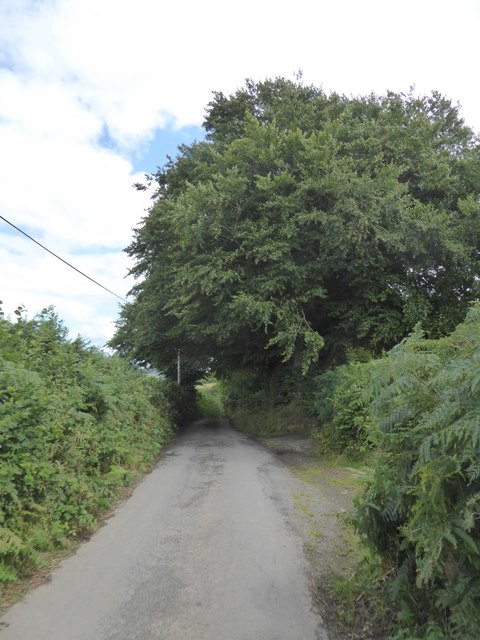
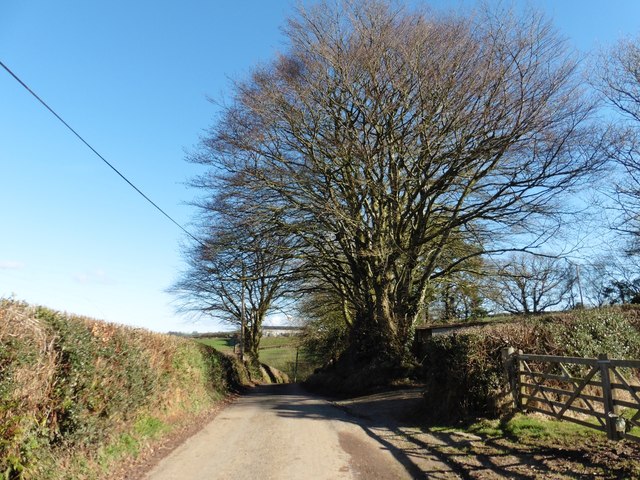
Withleigh is a small rural village located in the county of Devon, England. Situated approximately 3 miles west of the market town of Tiverton, it lies in the heart of the picturesque Exe Valley. The village is surrounded by rolling countryside, offering residents and visitors a tranquil and idyllic setting.

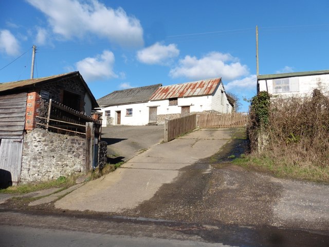
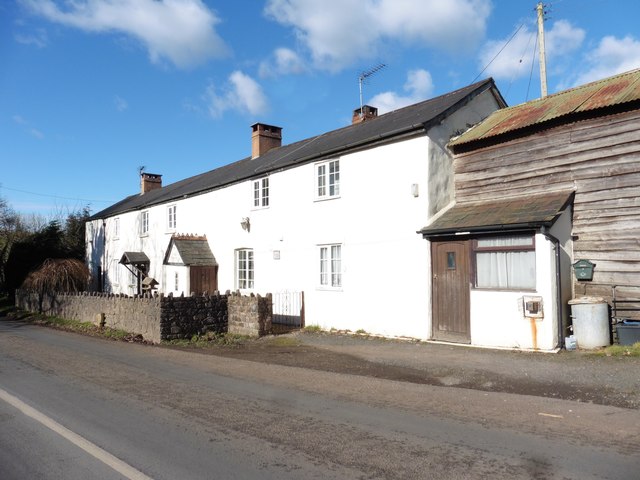
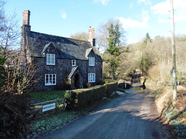
Withleigh is known for its charming and quaint atmosphere, with a population of around 300 people. The village is primarily residential, consisting of a mix of traditional stone cottages and newer properties. The architecture reflects the area's rich history, with some buildings dating back to the 17th century.

The centerpiece of Withleigh is the St. Mary's Church, a beautiful parish church that dates back to the 12th century. It is a prominent landmark in the village, and its stunning architectural features make it a must-visit for history enthusiasts and religious pilgrims alike.

Despite its small size, Withleigh offers a close-knit community spirit and a range of amenities. The village has a local pub, The Mitre Inn, which serves as a social hub for residents and visitors. There is also a village hall that hosts various events and activities throughout the year, fostering a sense of community cohesion.

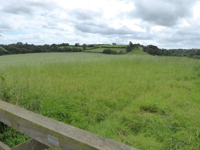
Withleigh's rural location makes it an ideal destination for nature lovers and outdoor enthusiasts. The surrounding countryside offers opportunities for walking, cycling, and exploring the beautiful landscapes. The nearby River Exe is a popular spot for fishing and boating, adding to the village's appeal for those seeking a peaceful and scenic retreat.

Overall, Withleigh is a charming village that offers a peaceful and rural lifestyle amidst the stunning natural beauty of the Devon countryside.

If you have any feedback on the listing, please let us know in the comments section below.
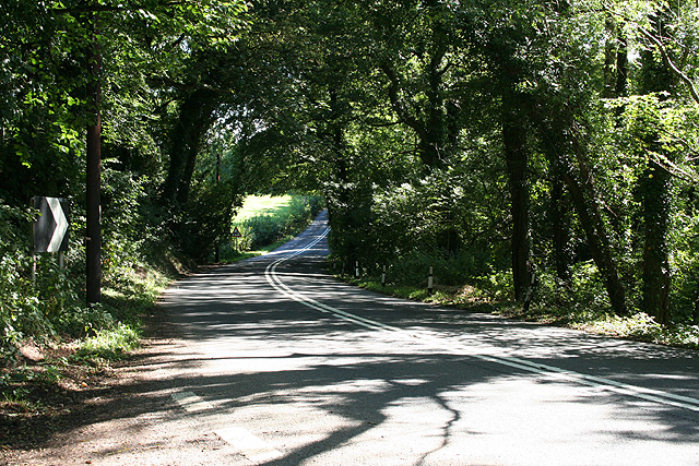
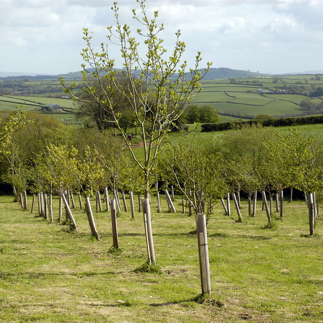
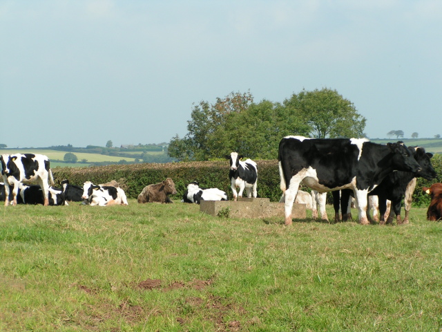
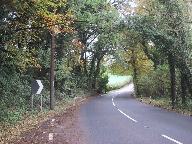
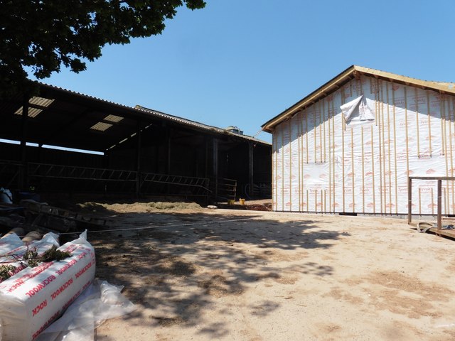
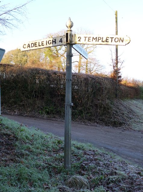
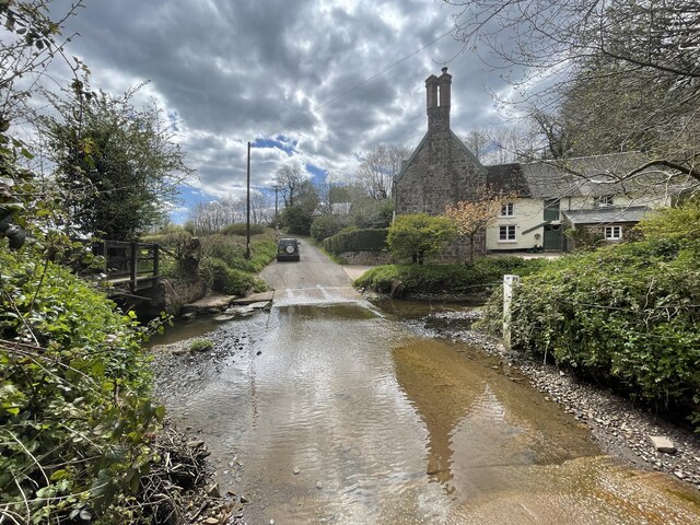
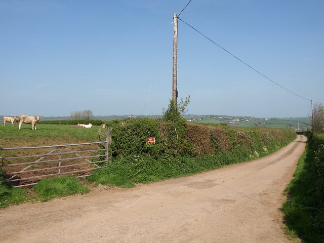
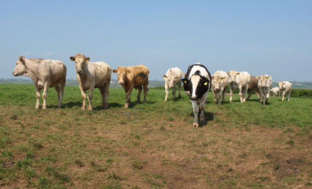
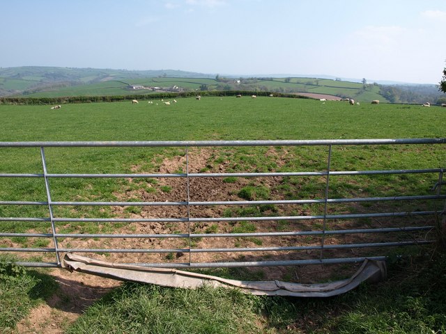
Withleigh Images

Images are sourced within 2km of 50.902692/-3.5525129 or Grid Reference SS9012. Thanks to Geograph Open Source API. All images are credited.

Tiverton: by Palmer’s Bridge The A373 Tiverton – Witheridge road looking east-south-east towards Withleigh. The climb up to Withleigh is a relatively new route, replacing the old 18th century turnpike which ran steeply up from Groubear Bridge
Tiverton: by Palmer’s Bridge
The A373 Tiverton – Witheridge road looking east-south-east towards Withleigh. The climb up to Withleigh is a relatively new route, replacing the old 18th century turnpike which ran steeply up from Groubear Bridge
Titchen's Bradley Looking from Titchen's Bradley towards Plainsfield and beyond towards East Devon.
Titchen's Bradley
Looking from Titchen's Bradley towards Plainsfield and beyond towards East Devon.
Cows near Thorne Farm
Road through the trees
Fields south of road east of Old Ford Looking over the valley towards Down Wood on the hilltop
Fields south of road east of Old Ford
Looking over the valley towards Down Wood on the hilltop
Tree by the entrance to Langmoor
Outbuildings at Mill Farm
Cottages at Mill Farm
Morchard Mill and ford
Minor road to Cadeleigh
Driveway to Bradley House
Bradley View Farmhouse Newly altered and extended since photographed in 2013: <a href="https://www.geograph.org.uk/photo/3502736">SS8913 : Mid Devon : Bradley View Farmhouse</a>
Bradley View Farmhouse
Newly altered and extended since photographed in 2013: SS8913 : Mid Devon : Bradley View Farmhouse
Building work at Bradley View Farm
Old Direction Sign - Signpost by the B3137, Cruwys Morchard parish Onion finial - 4 arms; Devon simple board by the B3137, in parish of Cruwys Morchard (Mid Devon District), junction with Cruwys Morchard Mill Lane, at bottom of hill, below woods.

Surveyed

Milestone Society National ID: DV_SS8812
Old Direction Sign - Signpost by the B3137, Cruwys Morchard parish
Onion finial - 4 arms; Devon simple board by the B3137, in parish of Cruwys Morchard (Mid Devon District), junction with Cruwys Morchard Mill Lane, at bottom of hill, below woods. Surveyed Milestone Society National ID: DV_SS8812
Morchard Mill Ford This is another visit to the ford at Morchard Mill, near Templeton. The image from a previous visit can be viewed at:
 <a title="https://www.geograph.org.uk/photo/4188039" href="https://www.geograph.org.uk/photo/4188039">Link</a>
Morchard Mill Ford
This is another visit to the ford at Morchard Mill, near Templeton. The image from a previous visit can be viewed at: Link
Thorn Hill A no through lane, as the sign in the hedge says, leading on from a right-angled bend in the lane to Worthy Bridge. Those cattle became fascinated with my presence.
Thorn Hill
A no through lane, as the sign in the hedge says, leading on from a right-angled bend in the lane to Worthy Bridge. Those cattle became fascinated with my presence.
Cattle near Thorne Farm Bullocks seem to have replaced the cows shown in <a href="https://www.geograph.org.uk/photo/990414">SS8911 : Cows near Thorne Farm</a>, and they are a lot more curious. I'm behind a gate, though; the one shown in <a href="https://www.geograph.org.uk/photo/2404140">SS8911 : Thorn Hill</a>.
Cattle near Thorne Farm
Bullocks seem to have replaced the cows shown in SS8911 : Cows near Thorne Farm, and they are a lot more curious. I'm behind a gate, though; the one shown in SS8911 : Thorn Hill.
Field at Thorne Farm The gate is a few metres down the road to the farm from the junction shown in <a href="https://www.geograph.org.uk/photo/2404140">SS8911 : Thorn Hill</a>. Sheep graze in the field. The farm in the distance is Thongsleigh, in <a href="https://www.geograph.org.uk/gridref/SS9011">SS9011</a>.
Field at Thorne Farm
The gate is a few metres down the road to the farm from the junction shown in SS8911 : Thorn Hill. Sheep graze in the field. The farm in the distance is Thongsleigh, in SS9011.
Show me another place!

Withleigh is located at Grid Ref: SS9012 (Lat: 50.902692, Lng: -3.5525129)

Administrative County: Devon

District: Mid Devon

Police Authority: Devon and Cornwall

What 3 Words

///generally.guitar.dislodge. Near Tiverton, Devon

Nearby Locations

Withleigh Plainfield Copse

Related Wikis

Calverleigh

Calverleigh (anciently Calwoodleigh) is a village and former civil parish and manor, now in the parish of Loxbeare, in the Mid Devon district, in the county...

Templeton, Devon

Templeton is a hamlet, parish and former manor in Devon, England, situated 4 miles west of Tiverton. The parish church is dedicated to St Margaret. �...

Loxbeare

Loxbeare is a village and civil parish in Devon, England. The church is from the twelfth century and the tower is probably Norman. It is dedicated to St...

Cruwys Morchard

Cruwys Morchard is an ecclesiastical and civil parish in the Mid Devon district of the county of Devon in England. It is located about four to five miles...

Nearby Amenities

Located within 500m of 50.902692,-3.5525129
Withleigh
Place: hamlet
Source: OS_OpenData_StreetView
Lat/Long: 50.9018142/-3.5531528
Generator Method: photovoltaic
Generator Output Electricity: yes
Generator Source: solar
Generator Type: solar_photovoltaic_panel
Location: roof
Power: generator
Lat/Long: 50.901595/-3.5526555
Generator Method: photovoltaic
Generator Output Electricity: yes
Generator Source: solar
Generator Type: solar_photovoltaic_panel
Location: roof
Power: generator
Lat/Long: 50.9014825/-3.5521486
Power: pole
Source: bing
Lat/Long: 50.9006224/-3.5491861
Power: pole
Source: bing
Lat/Long: 50.9012347/-3.5494074
Power: pole
Source: bing
Lat/Long: 50.9027867/-3.5488053
Power: pole
Source: bing
Lat/Long: 50.9018107/-3.549618
Power: pole
Source: bing
Lat/Long: 50.9025617/-3.5501088
Power: pole
Source: bing
Lat/Long: 50.9034574/-3.5506707
Power: pole
Source: bing
Lat/Long: 50.9041526/-3.551116
Power: pole
Source: bing
Lat/Long: 50.9048495/-3.5508934
Power: pole
Source: bing
Lat/Long: 50.9058296/-3.5506158
Power: pole
Source: bing
Lat/Long: 50.9066508/-3.5503583
The data included in this document is from www.openstreetmap.org. The data is made available under ODbL.

Have you been to Withleigh?

Leave your review of Withleigh below (or comments, questions and feedback).