Twdin

Heritage Site in Brecknockshire

Wales

Twdin

Field near Dolfan
Field near Dolfan Credit: Steven Brown

Twdin is a historic heritage site located in Brecknockshire, Wales. Situated in the picturesque surroundings of the Brecon Beacons National Park, Twdin holds significant historical and cultural value. This site is primarily recognized for its ancient stone circle, which dates back to the Bronze Age.

The stone circle of Twdin consists of a circular arrangement of upright stones, believed to have been erected between 2200 and 1400 BC. The circle has a diameter of approximately 20 meters, and originally contained around 40 stones. However, over time, some of the stones have fallen or been removed, leaving around 14 standing stones visible today.

Archaeological excavations conducted at Twdin have revealed remnants of various prehistoric activities, including pottery, flint tools, and animal bones. These findings provide insights into the lifestyle and practices of the ancient inhabitants of this area.

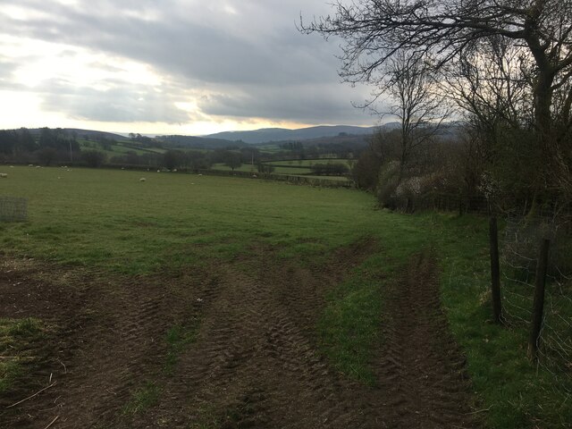
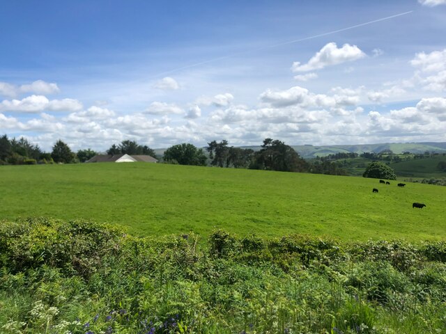
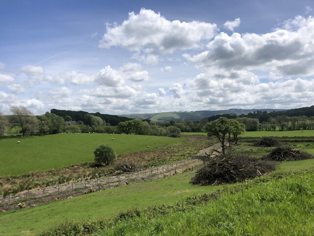
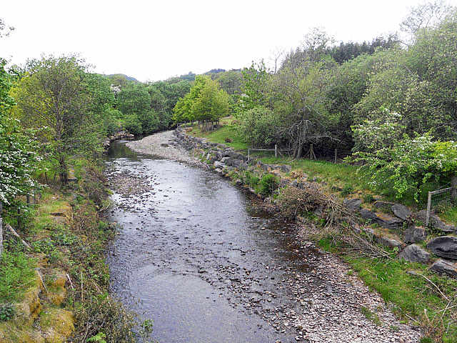
The site is also known for its breathtaking natural beauty. Surrounded by lush greenery and rolling hills, Twdin offers visitors a tranquil and serene atmosphere. Additionally, its location within the Brecon Beacons National Park provides ample opportunities for outdoor activities such as hiking, bird-watching, and photography.

Twdin is accessible to the public, with designated pathways leading to the stone circle. Interpretive signage and information boards are placed throughout the site, providing historical context and details about the significance of the stone circle.

Overall, Twdin in Brecknockshire is a remarkable heritage site, offering visitors a glimpse into Wales' ancient past while immersing them in the stunning landscapes of the Brecon Beacons National Park.

If you have any feedback on the listing, please let us know in the comments section below.

Twdin Images

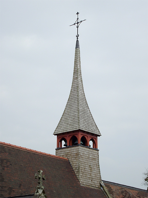
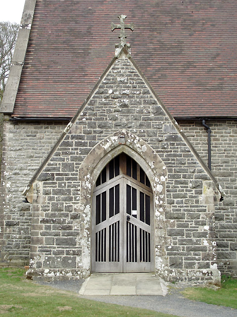
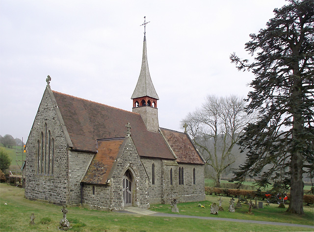
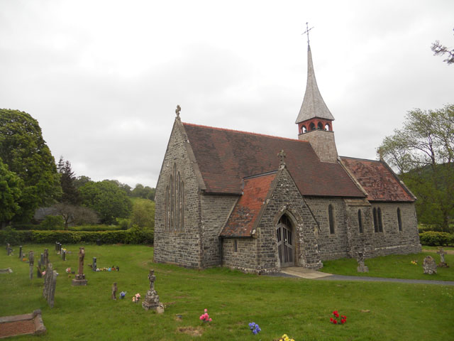
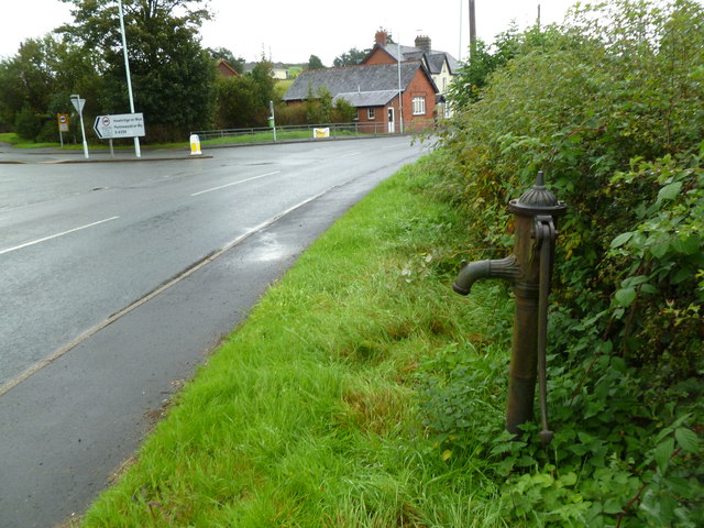
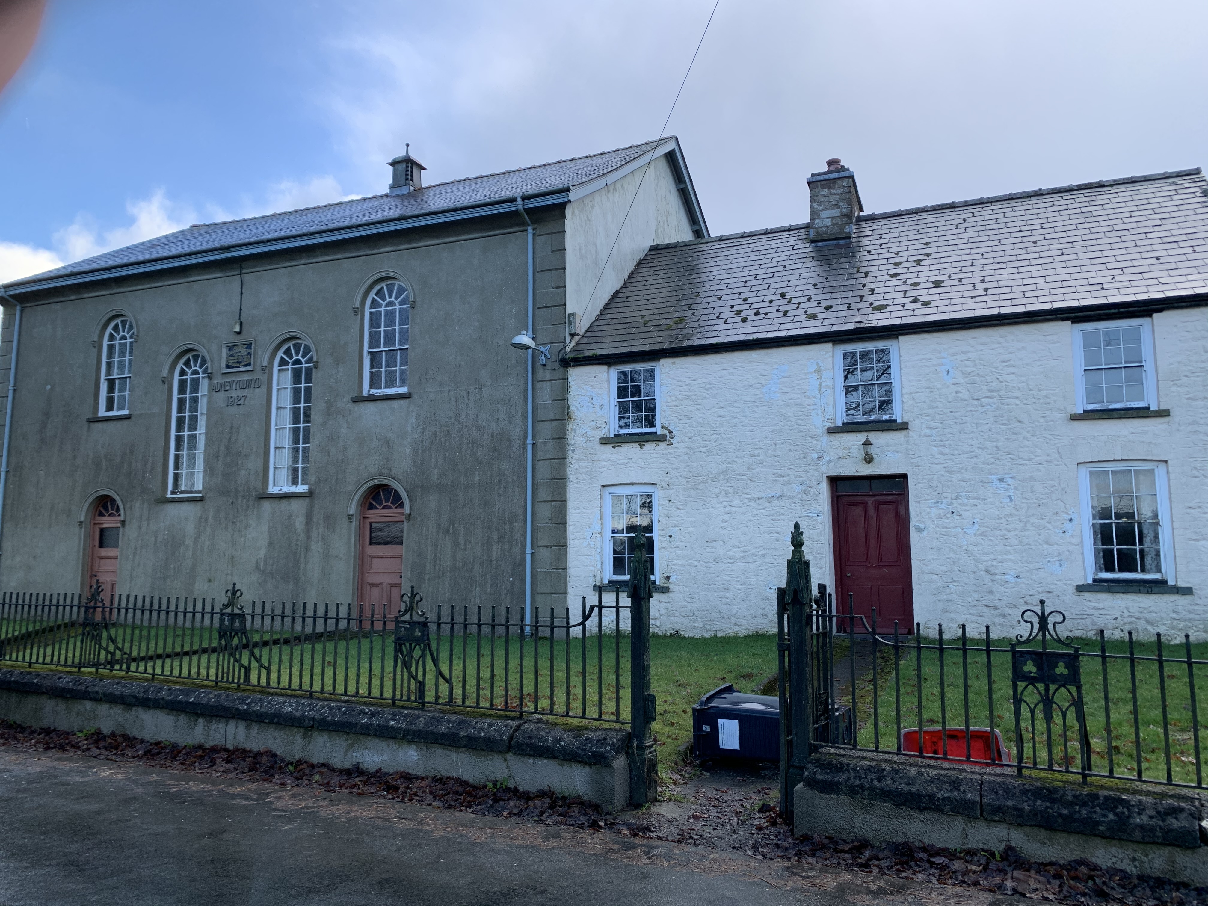
Images are sourced within 2km of 52.16/-3.587 or Grid Reference SN9152. Thanks to Geograph Open Source API. All images are credited.

Field near Dolfan
Field near Dolfan
Field with black sheep The rooftop of Brynmoelddu farm appearing over the top of the hill
Field with black sheep
The rooftop of Brynmoelddu farm appearing over the top of the hill
The A483 passing through Beulah
New housing development at Beulah
Cut down hedgerow south of Beulah
Old bridge to Eglwys Oen Duw, Beulah English: Church of the Lamb of God.  Set in a peaceful rural location between Beulah and Abergwesyn in the Irfon valley.

See <span class="nowrap"><a title="https://coflein.gov.uk/en/site/421218/" rel="nofollow ugc noopener" href="https://coflein.gov.uk/en/site/421218/">Link</a><img style="margin-left:2px;" alt="External link" title="External link - shift click to open in new window" src="https://s1.geograph.org.uk/img/external.png" width="10" height="10"/></span>
Old bridge to Eglwys Oen Duw, Beulah
English: Church of the Lamb of God. Set in a peaceful rural location between Beulah and Abergwesyn in the Irfon valley. See LinkExternal link
Bridge over Afon Cammarch at Beulah
Eglwys Oen Duw, Beulah
Ordnance Survey Cut Mark This OS cut mark can be found on the house north side of the road. It marks a point 198.409m above mean sea level.
Ordnance Survey Cut Mark
This OS cut mark can be found on the house north side of the road. It marks a point 198.409m above mean sea level.
Pathway to the Eglwys Oen Duw at Beulah, Powys Eglwys Oen Duw (The Church of the Lamb of God) was opened for divine worship on 8th November 1866. The building is Grade II listed, particularly for its interior detail and fittings.
Pathway to the Eglwys Oen Duw at Beulah, Powys
Eglwys Oen Duw (The Church of the Lamb of God) was opened for divine worship on 8th November 1866. The building is Grade II listed, particularly for its interior detail and fittings.
Farmland near Beulah, Powys Land near the church, looking towards the farm at Celsau.
Farmland near Beulah, Powys
Land near the church, looking towards the farm at Celsau.
Oak tree in farmland near Beulah, Powys This is near the church; <a title="https://www.geograph.org.uk/photo/2338545" href="https://www.geograph.org.uk/photo/2338545">Link</a>. The road leads to the farm at Celsau.
Oak tree in farmland near Beulah, Powys
This is near the church; Link. The road leads to the farm at Celsau.
Bell tower at the Eglwys Oen Duw near Beulah, Powys Eglwys Oen Duw (The Church of the Lamb of God) was opened for divine worship on 8th November 1866. The building is Grade II listed, particularly for its interior detail and fittings.
Bell tower at the Eglwys Oen Duw near Beulah, Powys
Eglwys Oen Duw (The Church of the Lamb of God) was opened for divine worship on 8th November 1866. The building is Grade II listed, particularly for its interior detail and fittings.
Eglwys Oen Duw (entrance)  at Beulah, Powys Eglwys Oen Duw (The Church of the Lamb of God) was opened for divine worship on 8th November 1866. The building is Grade II listed, particularly for its interior detail and fittings.
Eglwys Oen Duw (entrance) at Beulah, Powys
Eglwys Oen Duw (The Church of the Lamb of God) was opened for divine worship on 8th November 1866. The building is Grade II listed, particularly for its interior detail and fittings.
Eglwys Oen Duw at Beulah, Powys Eglwys Oen Duw (The Church of the Lamb of God) was opened for divine worship on 8th November 1866. The building is Grade II listed, particularly for its interior detail and fittings.

It is an awkward church to photograph, and here I have tried to make some adjustment to compensate for wide angle lens distortion.
Eglwys Oen Duw at Beulah, Powys
Eglwys Oen Duw (The Church of the Lamb of God) was opened for divine worship on 8th November 1866. The building is Grade II listed, particularly for its interior detail and fittings. It is an awkward church to photograph, and here I have tried to make some adjustment to compensate for wide angle lens distortion.
Church near Celsau
Church near Celsau
Afon Cammarch - upstream from the bridge
Beulah, village pump Now separated from the village by the A483; opposite the village stores, petrol station and pub. Manufactured by Lee, Howl & Co.; late C19.
Beulah, village pump
Now separated from the village by the A483; opposite the village stores, petrol station and pub. Manufactured by Lee, Howl & Co.; late C19.
Show me another place!

Twdin is located at Grid Ref: SN9152 (Lat: 52.16, Lng: -3.587)

Unitary Authority: Powys

Police Authority: Dyfed Powys

What 3 Words

///strike.rationed.noise. Near Llwyn-Madoc, Powys

Nearby Locations

Twdin Coed Isaf Fforest

Related Wikis

Beulah, Powys

Beulah is a village in southern Powys, Wales, in the community of Treflys, lying on the Afon Cammarch. The village sits astride the main A483 road about...

Treflys

Treflys is a community in the county of Powys, Wales, and is 49.9 miles (80.4 km) from Cardiff and 154.4 miles (248.5 km) from London. In 2011 the population...

Garth Bank Quarry

Garth Bank Quarry is a Site of Special Scientific Interest in Brecknock, Powys, Wales. The Countryside Council for Wales describes the significance of...

Garth, Powys

Garth is a village in Powys, mid Wales, in the community of Treflys. It lies on the A483 road between Builth Wells and Beulah at the point where the B4519...

Garth railway station (Powys)

Garth railway station (Powys) serves the village of Garth, Powys, Wales. The railway station is located at street level at the end of the Llais yr Afon...

Dulas, Irfon

Dulas is a left-bank tributary of the Afon Irfon, itself a tributary of the River Wye. It rises on the southeastern slopes of the Elenydd and runs southeast...

Llangammarch (parish)

Llangammarch was a rural ecclesiastical parish in Powys, mid-Wales, through which flow the rivers Irfon and Cammarch. The main centre of population is...

Llangammarch Wells

Llangammarch Wells or simply Llangammarch (Welsh: Llangamarch) is a village in the community of Llangamarch in Powys, Wales, lying on the Afon Irfon, and...

Have you been to Twdin?

Leave your review of Twdin below (or comments, questions and feedback).