Coed Isaf

Wood, Forest in Brecknockshire

Wales

Coed Isaf

Field near Dolfan
Field near Dolfan Credit: Steven Brown

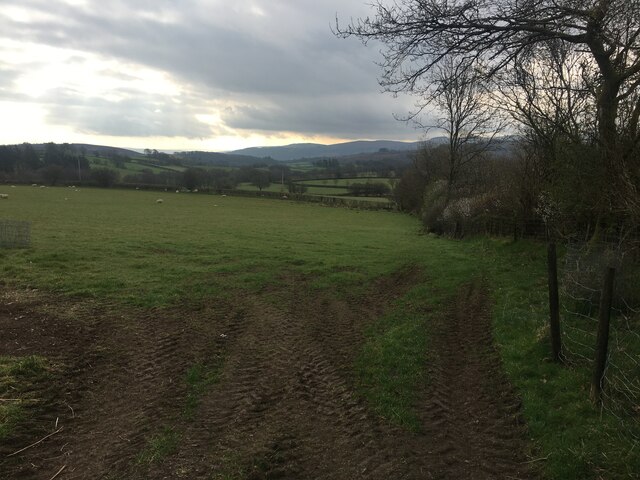
Coed Isaf, located in Brecknockshire, is a picturesque wood or forest that captivates visitors with its natural beauty and tranquility. Situated in the heart of Wales, Coed Isaf offers a serene escape from the bustling city life.

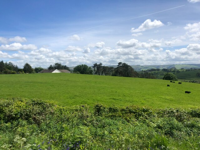
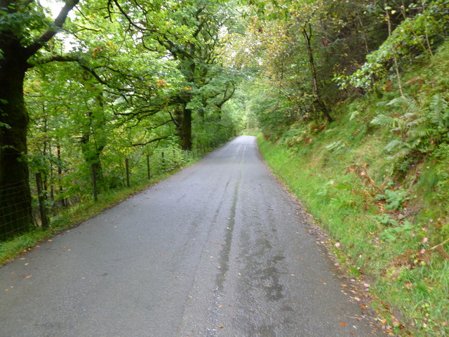
Covering a vast area, Coed Isaf is home to a diverse range of flora and fauna, making it a haven for nature enthusiasts and wildlife lovers. The wood is predominantly populated with deciduous trees, such as oak, beech, and birch, which provide a stunning display of colors during autumn. The forest floor is adorned with a myriad of wildflowers, creating a vibrant and enchanting atmosphere.

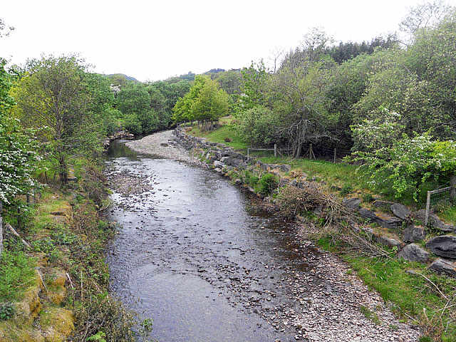
The wood is crisscrossed by a network of well-maintained trails, allowing visitors to explore its hidden corners and discover its hidden gems. These trails cater to both leisurely strolls and more adventurous hikes, providing something for everyone. Along the way, visitors may stumble upon babbling brooks, glistening ponds, and charming picnic spots, perfect for immersing oneself in the peaceful surroundings.

Coed Isaf not only offers a sanctuary for nature, but it also plays a vital role in preserving the local ecosystem. The wood serves as a habitat for a variety of wildlife, including foxes, badgers, and a rich array of bird species. Birdwatchers can be rewarded with sightings of elusive species, such as woodpeckers and owls, while lucky visitors may even catch a glimpse of the shy red squirrel.

Whether one seeks solace in nature, an adventure in the great outdoors, or a chance to observe wildlife in their natural habitat, Coed Isaf in Brecknockshire is a destination that promises a captivating experience.

If you have any feedback on the listing, please let us know in the comments section below.
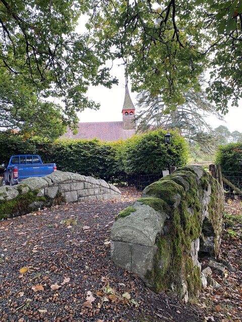
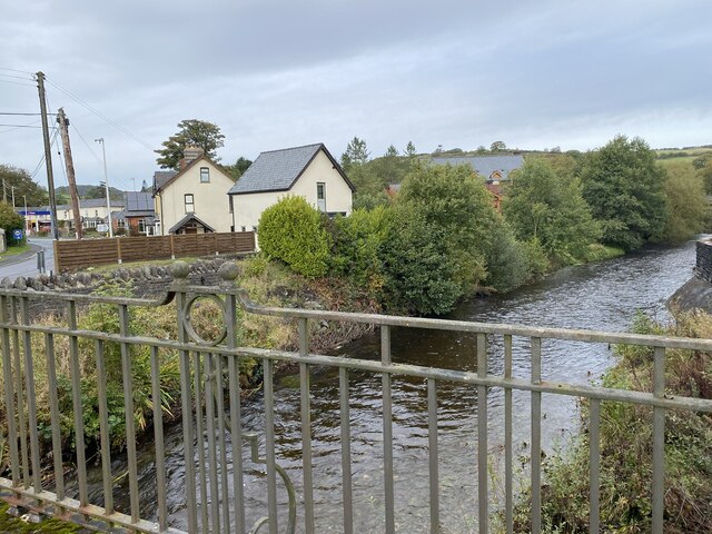
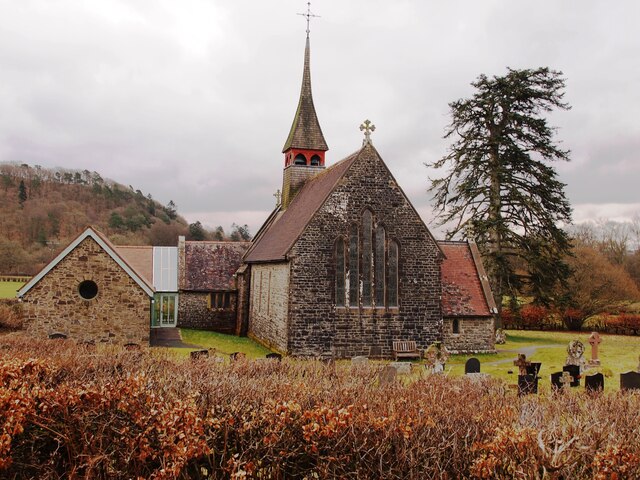
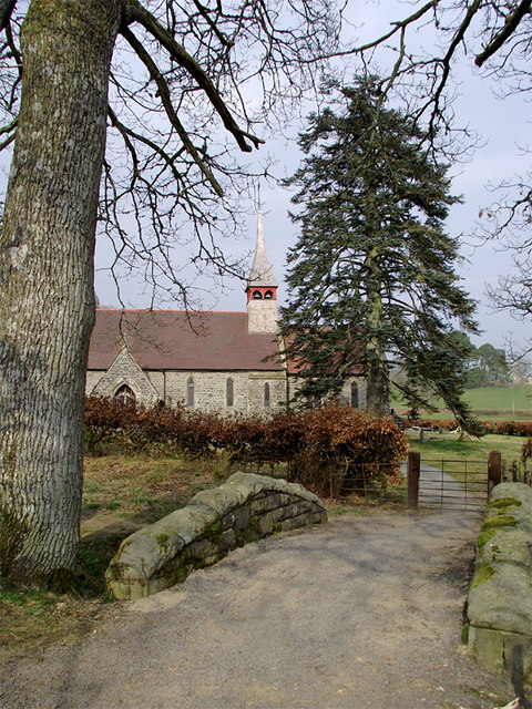
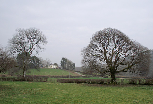
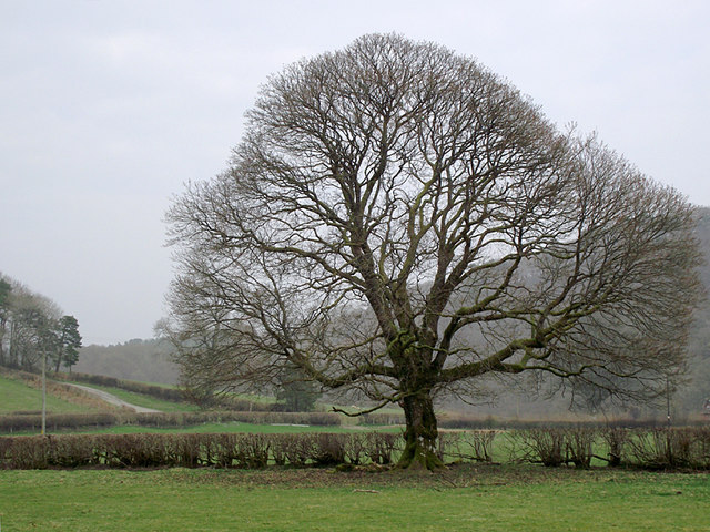
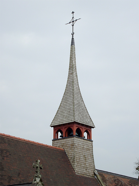
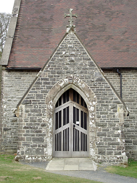
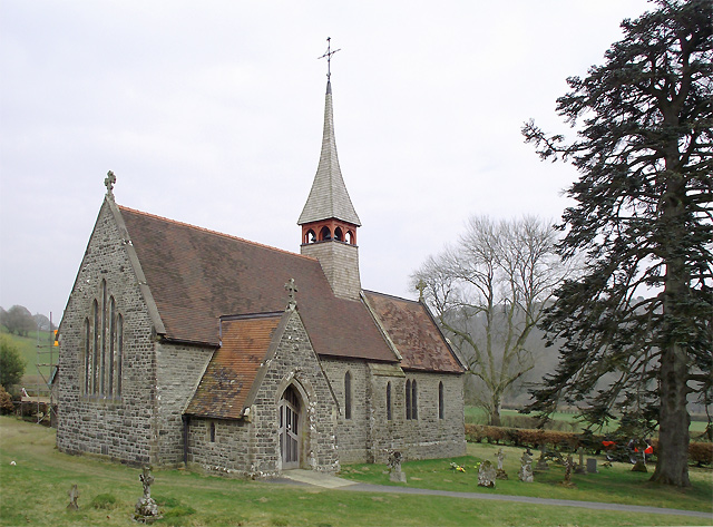
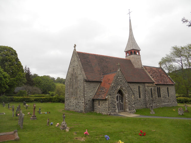
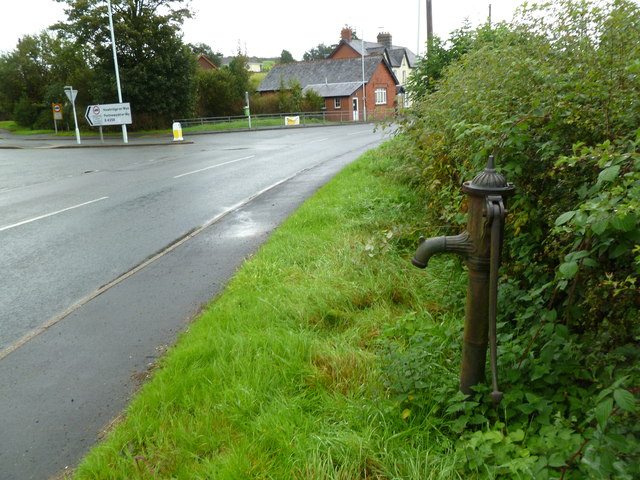
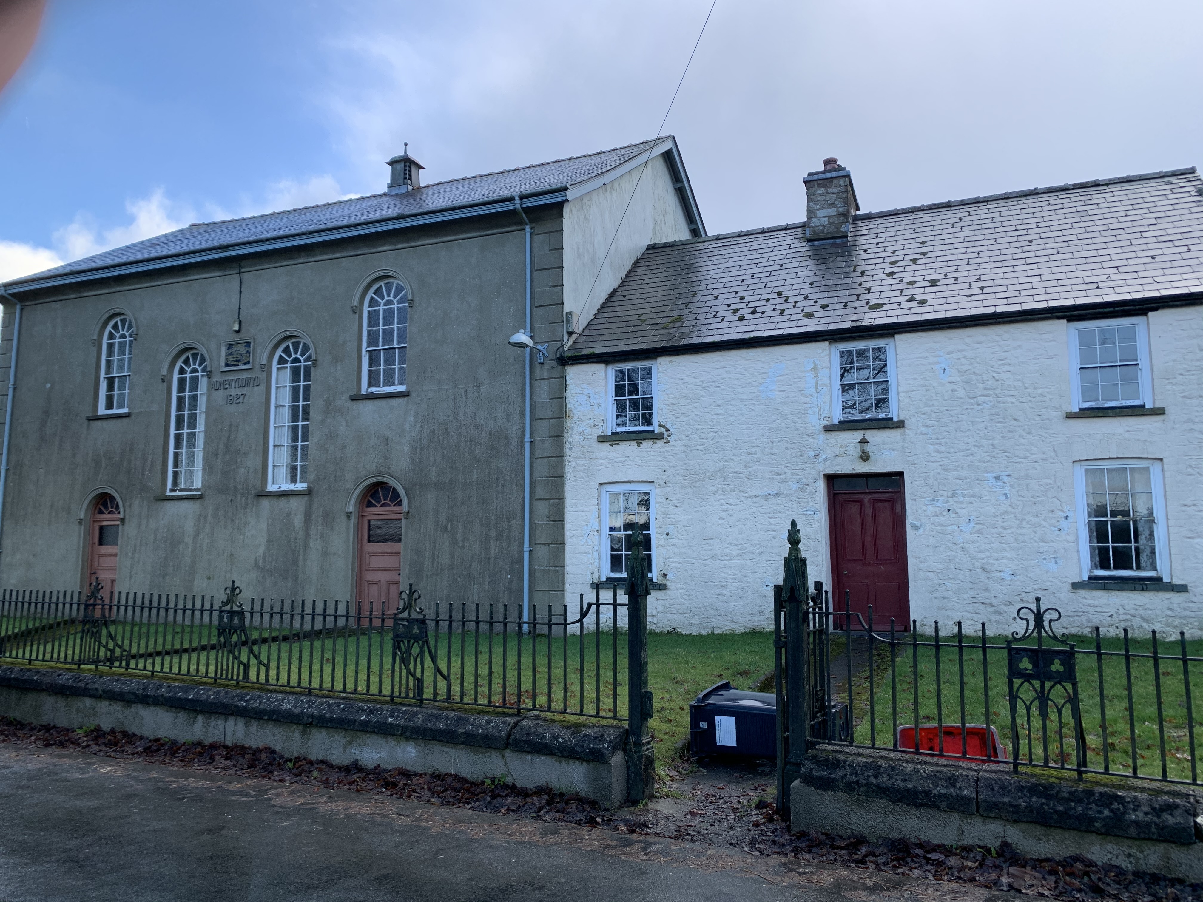
Coed Isaf Images

Images are sourced within 2km of 52.164118/-3.585868 or Grid Reference SN9152. Thanks to Geograph Open Source API. All images are credited.

Field near Dolfan
Field near Dolfan
Field with black sheep The rooftop of Brynmoelddu farm appearing over the top of the hill
Field with black sheep
The rooftop of Brynmoelddu farm appearing over the top of the hill
The A483 passing through Beulah
New housing development at Beulah
Old bridge to Eglwys Oen Duw, Beulah English: Church of the Lamb of God.  Set in a peaceful rural location between Beulah and Abergwesyn in the Irfon valley.

See <span class="nowrap"><a title="https://coflein.gov.uk/en/site/421218/" rel="nofollow ugc noopener" href="https://coflein.gov.uk/en/site/421218/">Link</a><img style="margin-left:2px;" alt="External link" title="External link - shift click to open in new window" src="https://s1.geograph.org.uk/img/external.png" width="10" height="10"/></span>
Old bridge to Eglwys Oen Duw, Beulah
English: Church of the Lamb of God. Set in a peaceful rural location between Beulah and Abergwesyn in the Irfon valley. See LinkExternal link
Bridge over Afon Cammarch at Beulah
Eglwys Oen Duw, Beulah
Ordnance Survey Cut Mark This OS cut mark can be found on the house north side of the road. It marks a point 198.409m above mean sea level.
Ordnance Survey Cut Mark
This OS cut mark can be found on the house north side of the road. It marks a point 198.409m above mean sea level.
Pathway to the Eglwys Oen Duw at Beulah, Powys Eglwys Oen Duw (The Church of the Lamb of God) was opened for divine worship on 8th November 1866. The building is Grade II listed, particularly for its interior detail and fittings.
Pathway to the Eglwys Oen Duw at Beulah, Powys
Eglwys Oen Duw (The Church of the Lamb of God) was opened for divine worship on 8th November 1866. The building is Grade II listed, particularly for its interior detail and fittings.
Farmland near Beulah, Powys Land near the church, looking towards the farm at Celsau.
Farmland near Beulah, Powys
Land near the church, looking towards the farm at Celsau.
Oak tree in farmland near Beulah, Powys This is near the church; <a title="https://www.geograph.org.uk/photo/2338545" href="https://www.geograph.org.uk/photo/2338545">Link</a>. The road leads to the farm at Celsau.
Oak tree in farmland near Beulah, Powys
This is near the church; Link. The road leads to the farm at Celsau.
Bell tower at the Eglwys Oen Duw near Beulah, Powys Eglwys Oen Duw (The Church of the Lamb of God) was opened for divine worship on 8th November 1866. The building is Grade II listed, particularly for its interior detail and fittings.
Bell tower at the Eglwys Oen Duw near Beulah, Powys
Eglwys Oen Duw (The Church of the Lamb of God) was opened for divine worship on 8th November 1866. The building is Grade II listed, particularly for its interior detail and fittings.
Eglwys Oen Duw (entrance)  at Beulah, Powys Eglwys Oen Duw (The Church of the Lamb of God) was opened for divine worship on 8th November 1866. The building is Grade II listed, particularly for its interior detail and fittings.
Eglwys Oen Duw (entrance) at Beulah, Powys
Eglwys Oen Duw (The Church of the Lamb of God) was opened for divine worship on 8th November 1866. The building is Grade II listed, particularly for its interior detail and fittings.
Eglwys Oen Duw at Beulah, Powys Eglwys Oen Duw (The Church of the Lamb of God) was opened for divine worship on 8th November 1866. The building is Grade II listed, particularly for its interior detail and fittings.

It is an awkward church to photograph, and here I have tried to make some adjustment to compensate for wide angle lens distortion.
Eglwys Oen Duw at Beulah, Powys
Eglwys Oen Duw (The Church of the Lamb of God) was opened for divine worship on 8th November 1866. The building is Grade II listed, particularly for its interior detail and fittings. It is an awkward church to photograph, and here I have tried to make some adjustment to compensate for wide angle lens distortion.
Church near Celsau
Church near Celsau
Afon Cammarch - upstream from the bridge
Beulah, village pump Now separated from the village by the A483; opposite the village stores, petrol station and pub. Manufactured by Lee, Howl & Co.; late C19.
Beulah, village pump
Now separated from the village by the A483; opposite the village stores, petrol station and pub. Manufactured by Lee, Howl & Co.; late C19.
Llwyn Madoc, country road From Abergwesyn to Beulah, following the Cnyffiad valley (to the left).
Llwyn Madoc, country road
From Abergwesyn to Beulah, following the Cnyffiad valley (to the left).
Show me another place!

Coed Isaf is located at Grid Ref: SN9152 (Lat: 52.164118, Lng: -3.585868)

Unitary Authority: Powys

Police Authority: Dyfed Powys

What 3 Words

///camcorder.stretch.piglets. Near Llwyn-Madoc, Powys

Nearby Locations

Twdin Fforest Coed Isaf

Related Wikis

Beulah, Powys

Beulah is a village in southern Powys, Wales, in the community of Treflys, lying on the Afon Cammarch. The village sits astride the main A483 road about...

Treflys

Treflys is a community in the county of Powys, Wales, and is 49.9 miles (80.4 km) from Cardiff and 154.4 miles (248.5 km) from London. In 2011 the population...

Garth Bank Quarry

Garth Bank Quarry is a Site of Special Scientific Interest in Brecknock, Powys, Wales. The Countryside Council for Wales describes the significance of...

Garth, Powys

Garth is a village in Powys, mid Wales, in the community of Treflys. It lies on the A483 road between Builth Wells and Beulah at the point where the B4519...

Garth railway station (Powys)

Garth railway station (Powys) serves the village of Garth, Powys, Wales. The railway station is located at street level at the end of the Llais yr Afon...

Dulas, Irfon

Dulas is a left-bank tributary of the Afon Irfon, itself a tributary of the River Wye. It rises on the southeastern slopes of the Elenydd and runs southeast...

Llangammarch (parish)

Llangammarch was a rural ecclesiastical parish in Powys, mid-Wales, through which flow the rivers Irfon and Cammarch. The main centre of population is...

Llangammarch Wells

Llangammarch Wells or simply Llangammarch (Welsh: Llangamarch) is a village in the community of Llangamarch in Powys, Wales, lying on the Afon Irfon, and...

Nearby Amenities

Located within 500m of 52.164118,-3.585868
Direction: S
Generator Method: photovoltaic
Generator Output Electricity: yes
Generator Solar Modules: 22
Generator Source: solar
Generator Type: solar_photovoltaic_panel
Location: roof
Power: generator
Lat/Long: 52.1681445/-3.5889901
The data included in this document is from www.openstreetmap.org. The data is made available under ODbL.

Have you been to Coed Isaf?

Leave your review of Coed Isaf below (or comments, questions and feedback).