Poundisford Lodge

Heritage Site in Somerset

England

Poundisford Lodge

Pitminster: The Queen’s Arms This is one of the earliest recorded mill sites in Somerset. A mill was extant here in 1036 when owned by St Swithun’s Priory, Winchester. A flour mill in 1804, the premises were later converted to a public house. The section nearest the camera looks more like a mill than a pub.
Pitminster: The Queen’s Arms Credit: Martin Bodman

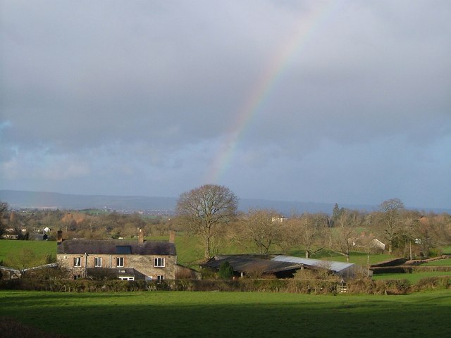
Poundisford Lodge, located in Somerset, England, is a historic heritage site that dates back to the 17th century. This exquisite lodge is nestled in a serene countryside setting, surrounded by lush gardens and picturesque landscapes.

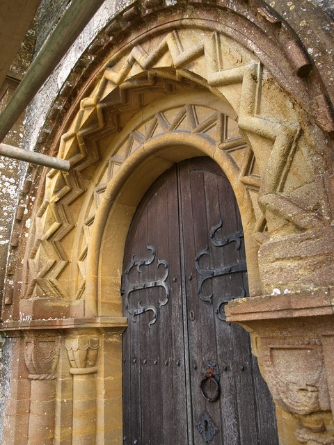
Built in 1699, Poundisford Lodge is a fine example of English country house architecture. The lodge features a symmetrical facade with a central entrance and two wings. The exterior is constructed with local red sandstone, giving it a distinct charm. The lodge has undergone several renovations and additions over the years, but has managed to retain its original character and charm.

The interior of Poundisford Lodge is equally impressive, boasting elegant period features. The main reception rooms are adorned with ornate plasterwork, grand fireplaces, and beautiful hardwood floors. The lodge also houses a small chapel, which adds to its historical and cultural significance.

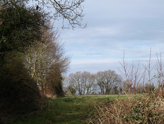
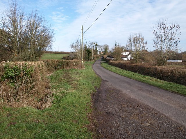
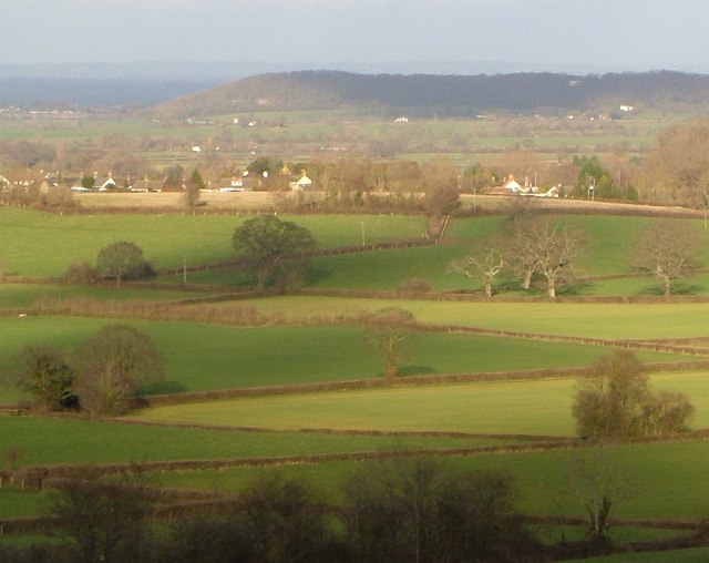
Surrounding the lodge are beautiful gardens, which have been carefully landscaped and maintained over the years. The gardens feature a variety of plants, including vibrant flowers, ancient trees, and neatly trimmed hedges. The grounds also include a tranquil pond and a charming gazebo, offering visitors a serene space to relax and enjoy the natural beauty.

Poundisford Lodge is open to the public and offers guided tours, allowing visitors to explore its fascinating history and architectural beauty. The lodge is also available for private events and weddings, providing a unique and enchanting setting for special occasions.

Overall, Poundisford Lodge is a captivating heritage site that showcases the rich history and architectural splendor of Somerset. Its combination of stunning architecture and picturesque gardens make it a must-visit destination for history enthusiasts and nature lovers alike.

If you have any feedback on the listing, please let us know in the comments section below.

Poundisford Lodge Images

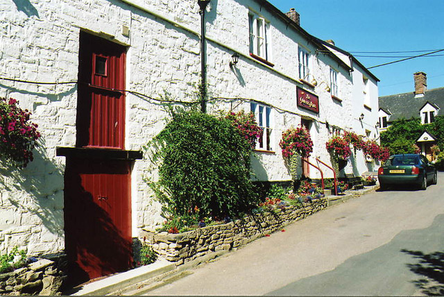
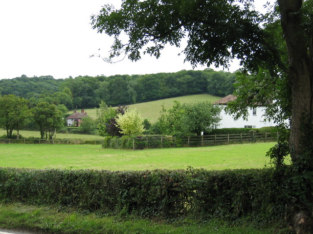
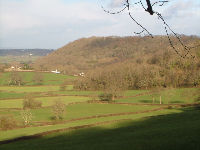
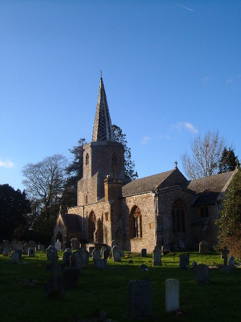
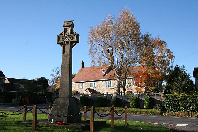
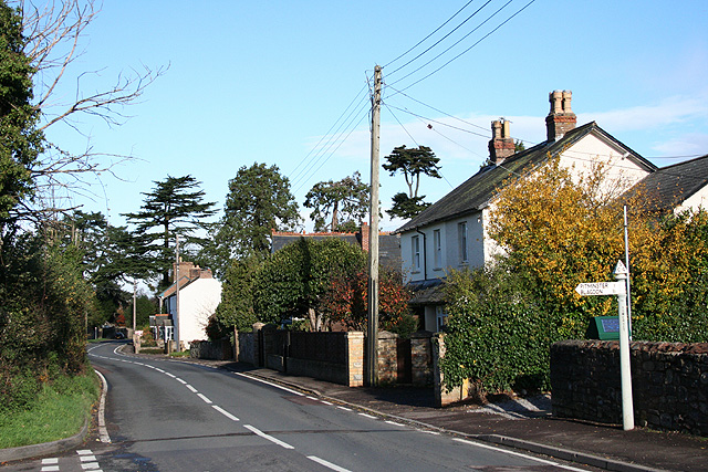
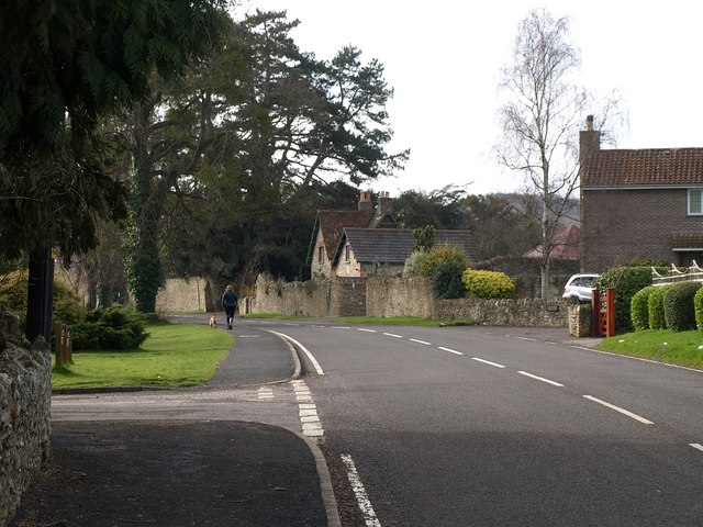
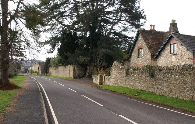
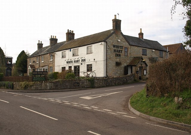
Images are sourced within 2km of 50.978/-3.103 or Grid Reference ST2220. Thanks to Geograph Open Source API. All images are credited.

Pitminster: The Queen’s Arms This is one of the earliest recorded mill sites in Somerset. A mill was extant here in 1036 when owned by St Swithun’s Priory, Winchester. A flour mill in 1804, the premises were later converted to a public house. The section nearest the camera looks more like a mill than a pub.
Pitminster: The Queen’s Arms
This is one of the earliest recorded mill sites in Somerset. A mill was extant here in 1036 when owned by St Swithun’s Priory, Winchester. A flour mill in 1804, the premises were later converted to a public house. The section nearest the camera looks more like a mill than a pub.
Corfe Farmland Residential housing dotted on farmland on the outskirts of Corfe, Somerset.
Corfe Farmland
Residential housing dotted on farmland on the outskirts of Corfe, Somerset.
Murlinch Wood, Woodram Looking northeast along the wooded scarp of the Blackdown Hills, with the fields around Woodram below, and the houses of Corfe village under Pickeridge Hill beyond. Taken from where Woodram Lane, here byway T 21/84, emerges from the woods. See also <a href="https://www.geograph.org.uk/photo/1609699">ST2218 : Fields southwest of Corfe</a>.
Murlinch Wood, Woodram
Looking northeast along the wooded scarp of the Blackdown Hills, with the fields around Woodram below, and the houses of Corfe village under Pickeridge Hill beyond. Taken from where Woodram Lane, here byway T 21/84, emerges from the woods. See also ST2218 : Fields southwest of Corfe.
Pitminster church Church of St Andrew and St Mary, Pitminster from south-east; unusual for the area in having a spire. Full details at <span class="nowrap"><a title="http://digbig.com/4gjyy" rel="nofollow ugc noopener" href="http://digbig.com/4gjyy">Link</a><img style="margin-left:2px;" alt="External link" title="External link - shift click to open in new window" src="https://s1.geograph.org.uk/img/external.png" width="10" height="10"/></span>
Pitminster church
Church of St Andrew and St Mary, Pitminster from south-east; unusual for the area in having a spire. Full details at LinkExternal link
Corfe: war memorial Near the 19th century church and by the entrance to Mill Lane. Greystones is the house across the main road. Looking west-south-west
Corfe: war memorial
Near the 19th century church and by the entrance to Mill Lane. Greystones is the house across the main road. Looking west-south-west
Corfe: by the Pitminster turning Looking north towards Taunton on the main road, three miles distant. Behind the photographer stands the White Hart Inn
Corfe: by the Pitminster turning
Looking north towards Taunton on the main road, three miles distant. Behind the photographer stands the White Hart Inn
Pitminster telephone box This is No 2 of 42 images of BT telephone boxes in Taunton Deane which BT is trying to cull due to their claimed 'lack of use'.  If you would like to see this phone box stay in situ, please email savethispayphone@ukpayphone.com
Pitminster telephone box
This is No 2 of 42 images of BT telephone boxes in Taunton Deane which BT is trying to cull due to their claimed 'lack of use'. If you would like to see this phone box stay in situ, please email savethispayphone@ukpayphone.com
B3170 north of Corfe The road to Taunton racecourse passes the delimiting signs at the north end of the village.
B3170 north of Corfe
The road to Taunton racecourse passes the delimiting signs at the north end of the village.
Field, Corfe This field adjoins the left-hand side of the stretch of road shown in <a href="https://www.geograph.org.uk/photo/1196108">ST2319 : B3170 north of Corfe</a>. Its L-shape encloses, behind the field boundary on the immediate left, the garden of the last property in the village and Queen's Acre recreation ground. The trees along the far field boundary, which is in <a href="https://www.geograph.org.uk/gridref/ST2219">ST2219</a>, mark the edge of the grounds of Barton Grange.
Field, Corfe
This field adjoins the left-hand side of the stretch of road shown in ST2319 : B3170 north of Corfe. Its L-shape encloses, behind the field boundary on the immediate left, the garden of the last property in the village and Queen's Acre recreation ground. The trees along the far field boundary, which is in ST2219, mark the edge of the grounds of Barton Grange.
Corfe The B3170 passes through the village. <a href="https://www.geograph.org.uk/photo/280550">ST2319 : Corfe: war memorial</a> is on the left a few yards ahead, with the church behind it. The twin gabled building in the centre is the Lodge to Corfe House, dating from 1863, and described at <span class="nowrap"><a title="http://www.imagesofengland.org.uk/Details/Default.aspx?id=270971&mode=adv" rel="nofollow ugc noopener" href="http://www.imagesofengland.org.uk/Details/Default.aspx?id=270971&mode=adv">Link</a><img style="margin-left:2px;" alt="External link" title="External link - shift click to open in new window" src="https://s1.geograph.org.uk/img/external.png" width="10" height="10"/></span> .
Corfe
The B3170 passes through the village. ST2319 : Corfe: war memorial is on the left a few yards ahead, with the church behind it. The twin gabled building in the centre is the Lodge to Corfe House, dating from 1863, and described at LinkExternal link .
Corfe House Lodge See also <a href="https://www.geograph.org.uk/photo/1196194">ST2319 : Corfe</a>. The lodge, described at <span class="nowrap"><a title="http://www.imagesofengland.org.uk/Details/Default.aspx?id=270971&mode=adv" rel="nofollow ugc noopener" href="http://www.imagesofengland.org.uk/Details/Default.aspx?id=270971&mode=adv">Link</a><img style="margin-left:2px;" alt="External link" title="External link - shift click to open in new window" src="https://s1.geograph.org.uk/img/external.png" width="10" height="10"/></span> and built in 1863, is of chert with brick dressings.
Corfe House Lodge
See also ST2319 : Corfe. The lodge, described at LinkExternal link and built in 1863, is of chert with brick dressings.
White Hart Inn, Corfe The pub stands at the junction of the B3170 with the lane to Pitminster. The photographer position on just across the road shown in <a href="https://www.geograph.org.uk/photo/280553">ST2319 : Corfe: by the Pitminster turning</a>.
White Hart Inn, Corfe
The pub stands at the junction of the B3170 with the lane to Pitminster. The photographer position on just across the road shown in ST2319 : Corfe: by the Pitminster turning.
Doorway, St Nicholas' church, Corfe This decorated Norman doorway is part of an 1842 rebuilding of a Norman church - see <span class="nowrap"><a title="http://www.imagesofengland.org.uk/Details/Default.aspx?id=270966&mode=adv" rel="nofollow ugc noopener" href="http://www.imagesofengland.org.uk/Details/Default.aspx?id=270966&mode=adv">Link</a><img style="margin-left:2px;" alt="External link" title="External link - shift click to open in new window" src="https://s1.geograph.org.uk/img/external.png" width="10" height="10"/></span> . Current repairs to the building explain the intrusion of pieces of scaffolding on the left.
Doorway, St Nicholas' church, Corfe
This decorated Norman doorway is part of an 1842 rebuilding of a Norman church - see LinkExternal link . Current repairs to the building explain the intrusion of pieces of scaffolding on the left.
Lane to Corfe The lane from Feltham approaches Corfe. The variable width of the verges and the area enclosed by hedges gives it the flavour of a drove.
Lane to Corfe
The lane from Feltham approaches Corfe. The variable width of the verges and the area enclosed by hedges gives it the flavour of a drove.
Countryside near Sellick's Green From footpath T 21/21 as it runs alongside the southern edge of <a href="https://www.geograph.org.uk/photo/1312691">ST2121 : Park pale, Poundisford Park</a>. The farm on the right is Goose Hill.
Countryside near Sellick's Green
From footpath T 21/21 as it runs alongside the southern edge of ST2121 : Park pale, Poundisford Park. The farm on the right is Goose Hill.
Pavilion, Sellick's Green Looking across Pitminster and Angersleigh Playing Field from the footpath that runs between Sellick's Green and Howleigh.
Pavilion, Sellick's Green
Looking across Pitminster and Angersleigh Playing Field from the footpath that runs between Sellick's Green and Howleigh.
Fields southwest of Corfe From the same spot on byway T 21/84 as <a href="https://www.geograph.org.uk/photo/126372">ST2218 : Murlinch Wood, Woodram</a>, with which there is some overlap on the right. The buildings at Corfe are in <a href="https://www.geograph.org.uk/gridref/ST2319">ST2319</a>. In the distance, Stoke Hill juts out from the Blackdown Hills.
Fields southwest of Corfe
From the same spot on byway T 21/84 as ST2218 : Murlinch Wood, Woodram, with which there is some overlap on the right. The buildings at Corfe are in ST2319. In the distance, Stoke Hill juts out from the Blackdown Hills.
Higher Woodram Farm A rainbow rises behind the farm, which sits below the Blackdown Hills. The view is from byway T 21/84. Just down Woodram Lane on the right is Middle Woodram Farm.
Higher Woodram Farm
A rainbow rises behind the farm, which sits below the Blackdown Hills. The view is from byway T 21/84. Just down Woodram Lane on the right is Middle Woodram Farm.
Show me another place!

Poundisford Lodge is located at Grid Ref: ST2220 (Lat: 50.978, Lng: -3.103)

What 3 Words

///quail.seaweed.impulsive. Near Taunton, Somerset

Related Wikis

Poundisford Park

Poundisford Park north of Pitminster, Somerset, England is an English country house that typifies progressive housebuilding on the part of the West Country...

Church of St Nicholas, Corfe

The Anglican Church of St Nicholas in Corfe, Somerset, England was built in the Norman period and rebuilt in 1842. It is a Grade II* listed building....

Pitminster

Pitminster is a village and civil parish in Somerset, England, situated 4 miles (6.4 km) south of Taunton. The parish has a population of 956. The parish...

Corfe

Corfe is a village and civil parish in Somerset, England, situated below the Blackdown Hills 4 miles (6.4 km) south of Taunton. The village has a population...

Taunton Racecourse

Taunton Racecourse is a thoroughbred horse racing venue located in Orchard Portman, two miles south of Taunton, Somerset, England. Opened in 1927, Taunton...

St Michael's Church, Orchard Portman

The Anglican Church of St Michael in Orchard Portman, Somerset, England, dates from the Norman period. It is a Grade II* listed building. == History... ==

Church of St Thomas, Thurlbear

The Church of St Thomas in the village of Thurlbear, which is in the parish of Orchard Portman, Somerset, England, dates from the 12th century. It has...

Orchard Portman

Orchard Portman is a village and civil parish in Somerset, England, situated 2 miles (3.2 km) south of Taunton. The village has a population of 150.The...

Nearby Amenities

Located within 500m of 50.978,-3.103
Barrier: stile
Bicycle: yes
Foot: yes
Lat/Long: 50.9756593/-3.106066
The data included in this document is from www.openstreetmap.org. The data is made available under ODbL.

Have you been to Poundisford Lodge?

Leave your review of Poundisford Lodge below (or comments, questions and feedback).