Yr Hôb

Settlement in Flintshire

Wales

Yr Hôb

All Saints, Cymau in the snow Friday 10th March 2023 walked down to check all well at church & empty dehumidifier.
All Saints, Cymau in the snow Credit: Isabel Blore

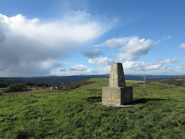
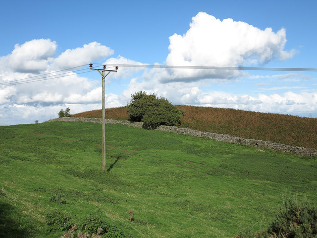
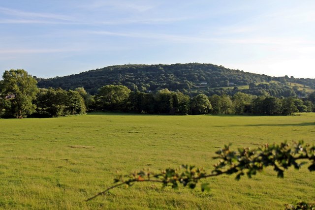
Yr Hôb is a small village located in Flintshire, Wales. Situated approximately 5 miles southwest of Mold, Yr Hôb is nestled in the picturesque countryside of North Wales. The village is surrounded by rolling hills, lush green fields, and offers breathtaking views of the Clwydian Range Area of Outstanding Natural Beauty.

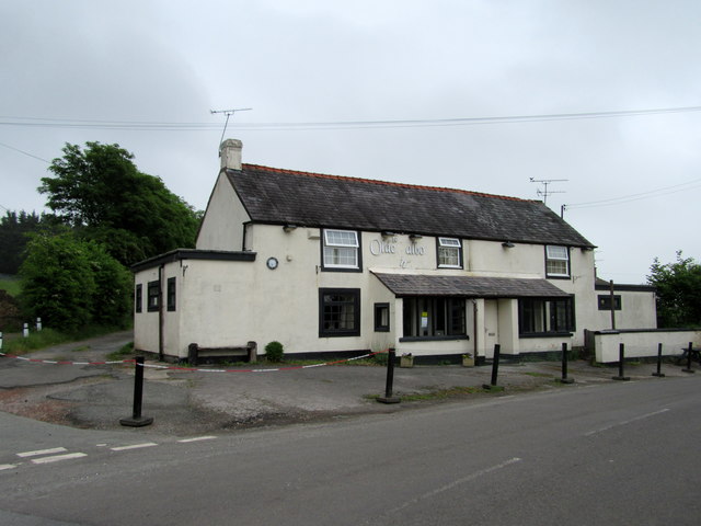
Yr Hôb has a rich history, dating back to the medieval period. The village was once a bustling market town and a center for agricultural trade. Today, Yr Hôb retains its quaint charm, with traditional stone cottages and narrow lanes winding through the village.

Despite its small size, Yr Hôb offers a range of amenities for its residents. The village has a local primary school, providing education for children in the area. There is also a community center that hosts various events and activities, fostering a sense of community among the residents.

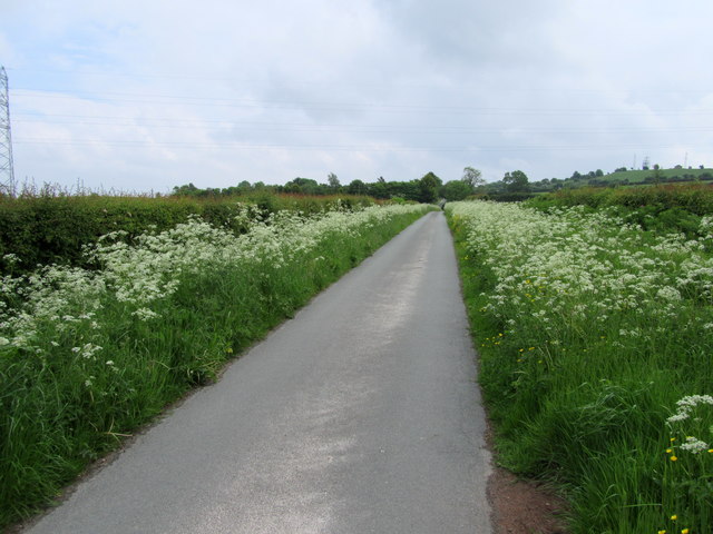
For outdoor enthusiasts, Yr Hôb is an ideal location. The village is surrounded by numerous walking trails and cycling routes, allowing visitors to explore the stunning Welsh countryside. Additionally, the nearby Moel Famau is a popular destination for hikers, offering panoramic views from its summit.

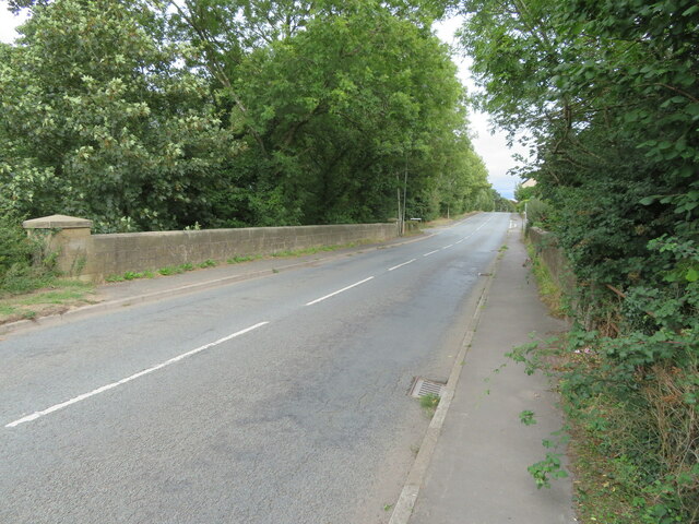
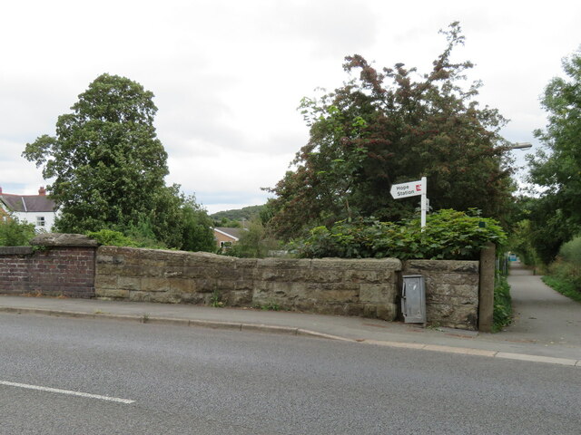
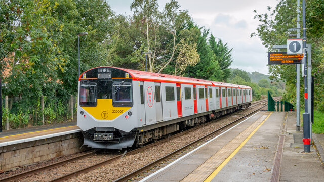
Yr Hôb is well-connected to the rest of Flintshire and beyond. The A494 road runs through the village, providing easy access to surrounding towns and cities. The nearest railway station is in Mold, offering connections to larger urban centers like Chester and Liverpool.

Overall, Yr Hôb is a charming village that offers a peaceful and idyllic lifestyle, perfect for those seeking a close-knit community and a tranquil setting amidst the natural beauty of North Wales.

If you have any feedback on the listing, please let us know in the comments section below.
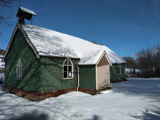
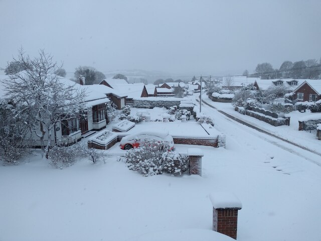
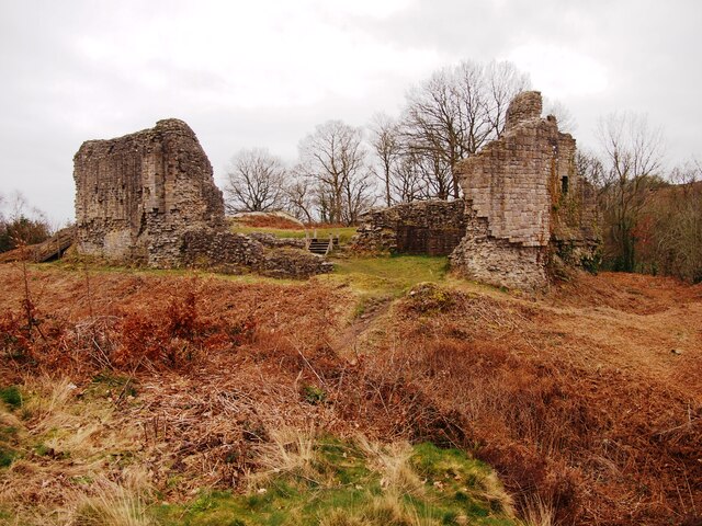
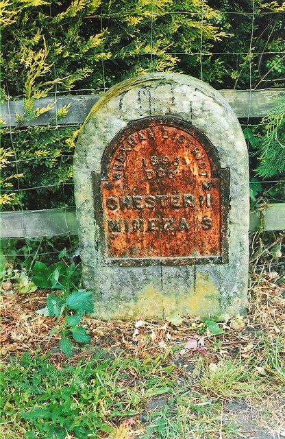
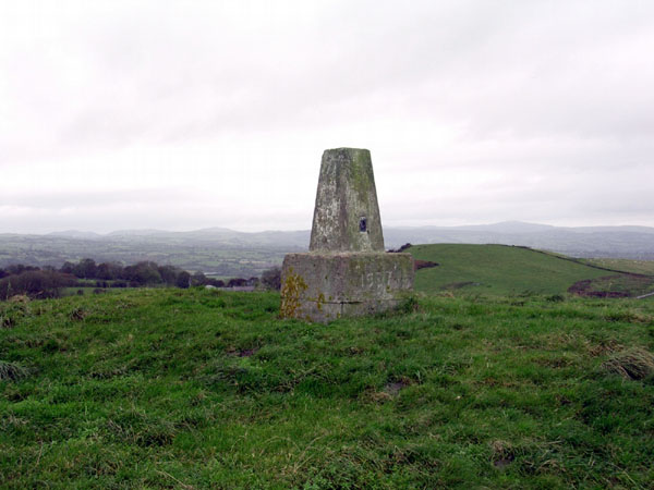
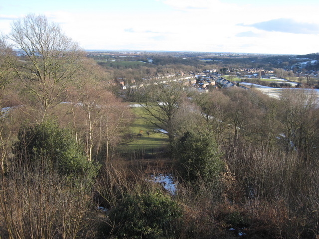
Yr Hôb Images

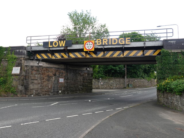
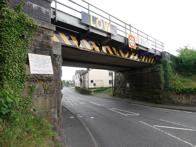
Images are sourced within 2km of 53.104223/-3.0337516 or Grid Reference SJ3056. Thanks to Geograph Open Source API. All images are credited.

All Saints, Cymau in the snow Friday 10th March 2023 walked down to check all well at church & empty dehumidifier.
All Saints, Cymau in the snow
Friday 10th March 2023 walked down to check all well at church & empty dehumidifier.
View of Cymau Village in the Snow Woke up to more snow! 10th March 2023
View of Cymau Village in the Snow
Woke up to more snow! 10th March 2023
Caergwrle Castle
Caergwrle Castle
Rivet benchmark on the Afon Alun bridge, Fagl Lane, Hope Ordnance Survey rivet benchmark on the north parapet of the Fagl Lane bridge over the Afon Alun/River Alyn. The bridge was built in 1933/4 to straighten the road and replaced the earlier Pont y Delyn, which still exists to the south. Levelled at 82.802m above Newlyn Datum, verified 1959. For a wider view see <a href="https://www.geograph.org.uk/photo/7516282">SJ3058 : Bridge over Afon Alun/River Alyn, Fagl Lane, Hope</a>                                                                                        
<span class="nowrap"><a title="https://www.bench-marks.org.uk/bm195082" rel="nofollow ugc noopener" href="https://www.bench-marks.org.uk/bm195082">Link</a><img style="margin-left:2px;" alt="External link" title="External link - shift click to open in new window" src="https://s1.geograph.org.uk/img/external.png" width="10" height="10"/></span>
Rivet benchmark on the Afon Alun bridge, Fagl Lane, Hope
Ordnance Survey rivet benchmark on the north parapet of the Fagl Lane bridge over the Afon Alun/River Alyn. The bridge was built in 1933/4 to straighten the road and replaced the earlier Pont y Delyn, which still exists to the south. Levelled at 82.802m above Newlyn Datum, verified 1959. For a wider view see SJ3058 : Bridge over Afon Alun/River Alyn, Fagl Lane, Hope LinkExternal link
Bridge over Afon Alun/River Alyn, Fagl Lane, Hope Looking east along Fagl Lane over the bridge that was built in 1933/4 to straighten the road and replace Pont y Delyn, which is out of sight on the right. There is an Ordnance Survey rivet benchmark on top of the left hand/north parapet <a href="https://www.geograph.org.uk/photo/7516156">SJ3058 : Rivet benchmark on the Afon Alun bridge, Fagl Lane, Hope</a>.
Bridge over Afon Alun/River Alyn, Fagl Lane, Hope
Looking east along Fagl Lane over the bridge that was built in 1933/4 to straighten the road and replace Pont y Delyn, which is out of sight on the right. There is an Ordnance Survey rivet benchmark on top of the left hand/north parapet SJ3058 : Rivet benchmark on the Afon Alun bridge, Fagl Lane, Hope.
Benchmark on wall by Hope railway bridge, Fagl Lane Ordnance Survey benchmark on the stone wall by the south parapet of Hope railway bridge in Fagl Lane. Levelled at 87.063m above Newlyn Datum, verified 1959. The bridge creates an 'S' bend in the road and judging by the damage to the adjacent metal box the cut mark has done well to survive. For a wider view see <a href="https://www.geograph.org.uk/photo/7516365">SJ3058 : Stone wall by Hope railway bridge, Fagl Lane</a>                                                                                 
<span class="nowrap"><a title="https://www.bench-marks.org.uk/bm195085" rel="nofollow ugc noopener" href="https://www.bench-marks.org.uk/bm195085">Link</a><img style="margin-left:2px;" alt="External link" title="External link - shift click to open in new window" src="https://s1.geograph.org.uk/img/external.png" width="10" height="10"/></span>
Benchmark on wall by Hope railway bridge, Fagl Lane
Ordnance Survey benchmark on the stone wall by the south parapet of Hope railway bridge in Fagl Lane. Levelled at 87.063m above Newlyn Datum, verified 1959. The bridge creates an 'S' bend in the road and judging by the damage to the adjacent metal box the cut mark has done well to survive. For a wider view see SJ3058 : Stone wall by Hope railway bridge, Fagl Lane LinkExternal link
Stone wall by Hope railway bridge, Fagl Lane Looking across Fagl Lane towards the stone wall between the railway bridge on the left, and the access lane to Hope Station. There is an Ordnance Survey benchmark on the wall to the left of the damaged electricity cabinet <a href="https://www.geograph.org.uk/photo/7516332">SJ3058 : Benchmark on wall by Hope railway bridge, Fagl Lane</a>
Stone wall by Hope railway bridge, Fagl Lane
Looking across Fagl Lane towards the stone wall between the railway bridge on the left, and the access lane to Hope Station. There is an Ordnance Survey benchmark on the wall to the left of the damaged electricity cabinet SJ3058 : Benchmark on wall by Hope railway bridge, Fagl Lane
Benchmark on Cefn-y-Bedd railway bridge, Wrexham Road Ordnance Survey benchmark on the northwest corner of the railway bridge over Wrexham Road, Cefn-y-Bedd. Levelled at 82.601m above Newlyn Datum, verified 1959. For wider views see: <a href="https://www.geograph.org.uk/photo/7523770">SJ3156 : Low Bridge over Wrexham Road, Cefn-y-Bedd</a> and <a href="https://www.geograph.org.uk/photo/7523783">SJ3156 : Low Bridge over Wrexham Road, Cefn-y-Bedd</a>

Benchmark database: <span class="nowrap"><a title="https://www.bench-marks.org.uk/bm195726" rel="nofollow ugc noopener" href="https://www.bench-marks.org.uk/bm195726">Link</a><img style="margin-left:2px;" alt="External link" title="External link - shift click to open in new window" src="https://s1.geograph.org.uk/img/external.png" width="10" height="10"/></span>
Benchmark on Cefn-y-Bedd railway bridge, Wrexham Road
Ordnance Survey benchmark on the northwest corner of the railway bridge over Wrexham Road, Cefn-y-Bedd. Levelled at 82.601m above Newlyn Datum, verified 1959. For wider views see: SJ3156 : Low Bridge over Wrexham Road, Cefn-y-Bedd and SJ3156 : Low Bridge over Wrexham Road, Cefn-y-Bedd Benchmark database: LinkExternal link
Low Bridge over Wrexham Road, Cefn-y-Bedd Despite the warning signs Cefn-y-Bedd railway bridge is often hit with oversize lorries or loads. There is an Ordnance Survey benchmark on the left hand corner of the bridge <a href="https://www.geograph.org.uk/photo/7523731">SJ3156 : Benchmark on Cefn-y-Bedd railway bridge, Wrexham Road</a>
Low Bridge over Wrexham Road, Cefn-y-Bedd
Despite the warning signs Cefn-y-Bedd railway bridge is often hit with oversize lorries or loads. There is an Ordnance Survey benchmark on the left hand corner of the bridge SJ3156 : Benchmark on Cefn-y-Bedd railway bridge, Wrexham Road
DEMU 230007 leaving Hope (Flintshire) Station for Wrexham Converted from London Underground stock
DEMU 230007 leaving Hope (Flintshire) Station for Wrexham
Converted from London Underground stock
Summit area of Hope Mountain Hope Mountain is a local high point and a 'Marilyn' north-west of Wrexham; the trig point is seen here at the hill top.
Summit area of Hope Mountain
Hope Mountain is a local high point and a 'Marilyn' north-west of Wrexham; the trig point is seen here at the hill top.
Field north-east of summit of Hope Mountain Hope Mountain is a hill of modest height west of the village of Caergwrle. Beyond the field and the bracken a slope drops steeply to the village.
Field north-east of summit of Hope Mountain
Hope Mountain is a hill of modest height west of the village of Caergwrle. Beyond the field and the bracken a slope drops steeply to the village.
Hope Mountain Viewed from Hope railway station.
Hope Mountain
Viewed from Hope railway station.
Another pub closed down.... Ye Olde Talbot Inn.
Another pub closed down....
Ye Olde Talbot Inn.
Minor road on Hope Mountain
Old Milestone by the B5102, Minera Road, Llanfynydd parish Wrexham plate milestone by the B5102, in parish of Llanfynydd (Flintshire District), Minera Road, West of Upper Lodge.

Inscription reads:-
WREXHAM DISTRICT
1893
DCC
............M
CHESTER 11
MINERA 3

Surveyed

Milestone Society National ID: DEN_CHMA11
Old Milestone by the B5102, Minera Road, Llanfynydd parish
Wrexham plate milestone by the B5102, in parish of Llanfynydd (Flintshire District), Minera Road, West of Upper Lodge. Inscription reads:- WREXHAM DISTRICT 1893 DCC ............M CHESTER 11 MINERA 3 Surveyed Milestone Society National ID: DEN_CHMA11
Hope Mountain Trig Point Yeah this may be like any trig point but believe me this is the trig point on a small hill called Hope Mountain near to Wrexham. The hills in the background are near to the north area of Llangollen.
Hope Mountain Trig Point
Yeah this may be like any trig point but believe me this is the trig point on a small hill called Hope Mountain near to Wrexham. The hills in the background are near to the north area of Llangollen.
Show me another place!

Yr Hôb is located at Grid Ref: SJ3056 (Lat: 53.104223, Lng: -3.0337516)

Unitary Authority: Flintshire

Police Authority: North Wales

Also known as: Abermorddu

What 3 Words

///loitering.pinks.droplet. Near Caergwrle, Flintshire

Related Wikis

Abermorddu

Abermorddu () is a village in the county of Flintshire, Wales, in the community of Hope. Approximately 5 miles north of Wrexham along the A541 road, it...

Rhydyn Hall

Rhydyn Hall (or Rhyddyn Hall), near Caergwrle in Flintshire, Wales, is an 18th-century building with two storeys with a later wing to the north-west....

Caergwrle railway station

Caergwrle railway station serves the village of Caergwrle in Flintshire, Wales. The station is 4¾ miles (7 km) north of Wrexham Central on the Borderlands...
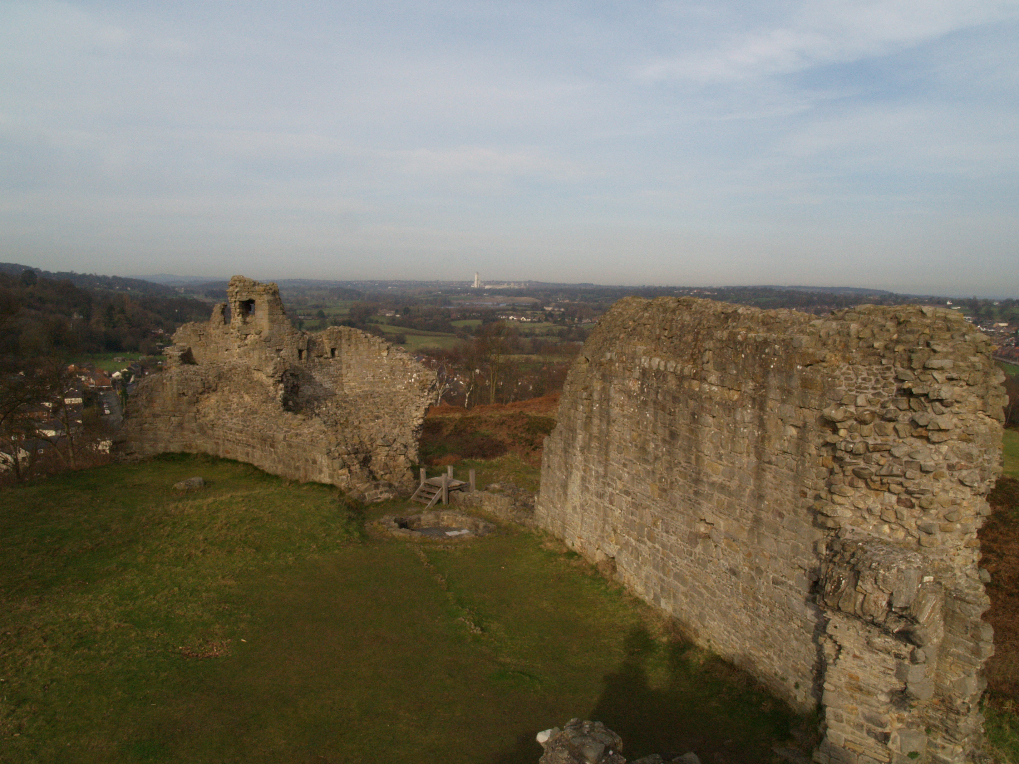
Caergwrle Castle

Caergwrle Castle (Welsh: Castell Caergwrle), also known as Queen's Hope in scholarly texts, is located in the town of Caergwrle, in Flintshire, Wales....

Nearby Amenities

Located within 500m of 53.104223,-3.0337516
Traffic Signals
Ref: 66
Lat/Long: 53.1016833/-3.0320426
Abermorddu
Is In: Flintshire, Wales, United Kingdom
Is In Country: United Kingdom
Is In County: Flintshire
Is In Nation: Wales
Name Cy: Abermor-ddu
Place: village
Wikidata: Q4667133
Lat/Long: 53.102498/-3.0324845
Caergwrle
Naptan AtcoCode: 9100CAERGWL
Network: National Rail
Network Website: https://www.nationalrail.co.uk/stations/cgw/
Network Wikidata: Q26334
Operator En: Transport for Wales
Operator Website: https://tfw.wales/places/stations/caergwrle
Operator Wikidata: Q104878180
Public Transport: station
Railway: station
Ref Crs: CGW
Wikidata: Q2684872
Wikipedia: en:Caergwrle railway station
Lat/Long: 53.1080896/-3.0332375
Bus Stop
Bus: yes
Naptan AtcoCode: 5120WDB22142
Naptan NaptanCode: flijtwj
Public Transport: platform
Shelter: yes
Lat/Long: 53.1083043/-3.0335214
Bus Stop
Bus: yes
Naptan AtcoCode: 5120ACX17032
Naptan NaptanCode: fliajgm
Public Transport: platform
Lat/Long: 53.1025849/-3.0321084
Post Box
Lat/Long: 53.1041643/-3.0330087
Caergwrle Castle
Ele: 137
Natural: peak
Wikidata: Q106710288
Lat/Long: 53.1073315/-3.0369743
Power: pole
Lat/Long: 53.1051713/-3.0406178
Power: pole
Lat/Long: 53.104371/-3.0388877
Power: pole
Lat/Long: 53.104268/-3.0380616
Power: pole
Lat/Long: 53.1041858/-3.0372328
Power: pole
Lat/Long: 53.104123/-3.036632
Power: pole
Lat/Long: 53.1039346/-3.0352211
Power: pole
Lat/Long: 53.1048866/-3.0400021
Direction: S
Generator Method: photovoltaic
Generator Output Electricity: yes
Generator Solar Modules: 16
Generator Source: solar
Generator Type: solar_photovoltaic_panel
Location: roof
Power: generator
Lat/Long: 53.1002822/-3.0350045
Direction: S
Generator Method: photovoltaic
Generator Output Electricity: yes
Generator Solar Modules: 15
Generator Source: solar
Generator Type: solar_photovoltaic_panel
Location: roof
Power: generator
Lat/Long: 53.100279/-3.0348805
Direction: 145
Generator Method: photovoltaic
Generator Output Electricity: yes
Generator Solar Modules: 14
Generator Source: solar
Generator Type: solar_photovoltaic_panel
Location: roof
Power: generator
Lat/Long: 53.1008527/-3.0326274
Direction: 185
Generator Method: photovoltaic
Generator Output Electricity: yes
Generator Solar Modules: 16
Generator Source: solar
Generator Type: solar_photovoltaic_panel
Location: roof
Power: generator
Lat/Long: 53.1002774/-3.0330552
Direction: 265
Generator Method: photovoltaic
Generator Output Electricity: yes
Generator Solar Modules: 14
Generator Source: solar
Generator Type: solar_photovoltaic_panel
Location: roof
Power: generator
Lat/Long: 53.1021141/-3.0316578
Direction: 175
Generator Method: photovoltaic
Generator Output Electricity: yes
Generator Solar Modules: 14
Generator Source: solar
Generator Type: solar_photovoltaic_panel
Location: roof
Power: generator
Lat/Long: 53.1020843/-3.0315009
Direction: 175
Generator Method: photovoltaic
Generator Output Electricity: yes
Generator Solar Modules: 8
Generator Source: solar
Generator Type: solar_photovoltaic_panel
Location: roof
Power: generator
Lat/Long: 53.1020834/-3.0312904
Direction: 175
Generator Method: photovoltaic
Generator Output Electricity: yes
Generator Solar Modules: 14
Generator Source: solar
Generator Type: solar_photovoltaic_panel
Location: roof
Power: generator
Lat/Long: 53.1020867/-3.0312045
Direction: 175
Generator Method: photovoltaic
Generator Output Electricity: yes
Generator Solar Modules: 14
Generator Source: solar
Generator Type: solar_photovoltaic_panel
Location: roof
Power: generator
Lat/Long: 53.1020907/-3.0310798
Direction: 175
Generator Method: photovoltaic
Generator Output Electricity: yes
Generator Solar Modules: 14
Generator Source: solar
Generator Type: solar_photovoltaic_panel
Location: roof
Power: generator
Lat/Long: 53.1020778/-3.0313843
Direction: 265
Generator Method: photovoltaic
Generator Output Electricity: yes
Generator Solar Modules: 5
Generator Source: solar
Generator Type: solar_photovoltaic_panel
Location: roof
Power: generator
Lat/Long: 53.1021487/-3.0313198
Direction: E
Generator Method: photovoltaic
Generator Output Electricity: yes
Generator Solar Modules: 12
Generator Source: solar
Generator Type: solar_photovoltaic_panel
Location: roof
Power: generator
Lat/Long: 53.1022115/-3.031049
Direction: E
Generator Method: photovoltaic
Generator Output Electricity: yes
Generator Solar Modules: 10
Generator Source: solar
Generator Type: solar_photovoltaic_panel
Location: roof
Power: generator
Lat/Long: 53.1022686/-3.0310462
Direction: E
Generator Method: photovoltaic
Generator Output Electricity: yes
Generator Solar Modules: 12
Generator Source: solar
Generator Type: solar_photovoltaic_panel
Location: roof
Power: generator
Lat/Long: 53.1023347/-3.0310423
Direction: 265
Generator Method: photovoltaic
Generator Output Electricity: yes
Generator Solar Modules: 10
Generator Source: solar
Generator Type: solar_photovoltaic_panel
Location: roof
Power: generator
Lat/Long: 53.1022944/-3.0316967
Direction: 265
Generator Method: photovoltaic
Generator Output Electricity: yes
Generator Solar Modules: 12
Generator Source: solar
Generator Type: solar_photovoltaic_panel
Location: roof
Power: generator
Lat/Long: 53.1023487/-3.0317074
Direction: 170
Generator Method: photovoltaic
Generator Output Electricity: yes
Generator Solar Modules: 19
Generator Source: solar
Generator Type: solar_photovoltaic_panel
Location: roof
Power: generator
Lat/Long: 53.1048054/-3.0331855
Direction: 190
Generator Method: photovoltaic
Generator Output Electricity: yes
Generator Solar Modules: 4
Generator Source: solar
Generator Type: solar_photovoltaic_panel
Location: roof
Power: generator
Lat/Long: 53.1055135/-3.0335583
Direction: SSW
Generator Method: photovoltaic
Generator Output Electricity: yes
Generator Solar Modules: 14
Generator Source: solar
Generator Type: solar_photovoltaic_panel
Location: roof
Power: generator
Lat/Long: 53.1060195/-3.0334376
Direction: 185
Generator Method: photovoltaic
Generator Output Electricity: yes
Generator Solar Modules: 14
Generator Source: solar
Generator Type: solar_photovoltaic_panel
Location: roof
Power: generator
Lat/Long: 53.0999525/-3.032468
Direction: 185
Generator Method: photovoltaic
Generator Output Electricity: yes
Generator Solar Modules: 16
Generator Source: solar
Generator Type: solar_photovoltaic_panel
Location: roof
Power: generator
Lat/Long: 53.1004341/-3.0324532
Direction: 265
Generator Method: photovoltaic
Generator Output Electricity: yes
Generator Solar Modules: 12
Generator Source: solar
Generator Type: solar_photovoltaic_panel
Location: roof
Power: generator
Lat/Long: 53.1022313/-3.0316814
Bicycle Parking
Bicycle Parking: lockers
Lat/Long: 53.1080408/-3.0332921
The data included in this document is from www.openstreetmap.org. The data is made available under ODbL.

Have you been to Yr Hôb?

Leave your review of Yr Hôb below (or comments, questions and feedback).