Bryn-Yorkin Wood
Wood, Forest in Flintshire
Wales
Bryn-Yorkin Wood
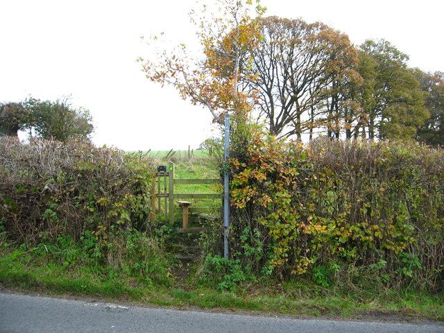
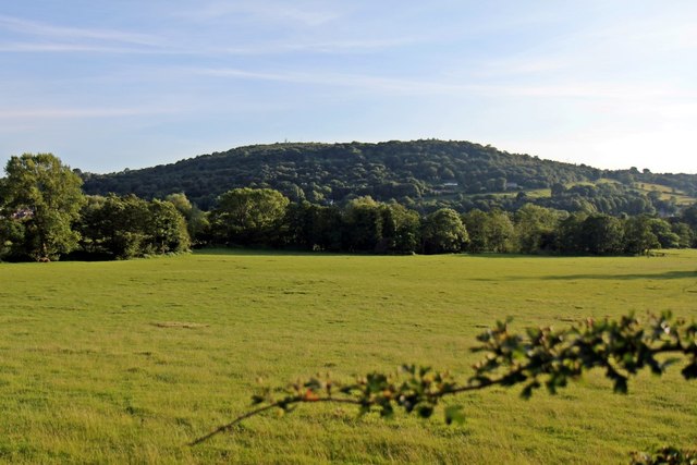
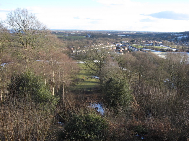
Bryn-Yorkin Wood is a picturesque woodland located in Flintshire, Wales. Covering an area of approximately 200 acres, this enchanting forest is renowned for its natural beauty and tranquil atmosphere. The wood is situated on a hill, offering visitors breathtaking views of the surrounding countryside.
The wood is primarily made up of oak and beech trees, which provide a dense canopy and create a cool and shaded environment. The forest floor is covered in a thick carpet of moss and ferns, giving it a lush and vibrant appearance. The diverse range of flora and fauna found in Bryn-Yorkin Wood makes it a haven for nature enthusiasts and wildlife lovers.
Visitors to the wood can explore a network of well-maintained walking trails, allowing them to fully immerse themselves in the peaceful surroundings. The trails wind through the forest, leading to hidden clearings and secluded spots, perfect for picnics or quiet contemplation. Along the way, hikers may encounter a variety of bird species, such as woodpeckers and songbirds, as well as small mammals like squirrels and rabbits.
Bryn-Yorkin Wood is a popular destination for outdoor activities such as hiking, birdwatching, and photography. The woodland also hosts educational programs and guided tours, offering visitors the opportunity to learn about the local ecosystem and conservation efforts. With its natural beauty and diverse wildlife, Bryn-Yorkin Wood is a true gem in the heart of Flintshire, attracting visitors from near and far to experience its peaceful and enchanting atmosphere.
If you have any feedback on the listing, please let us know in the comments section below.
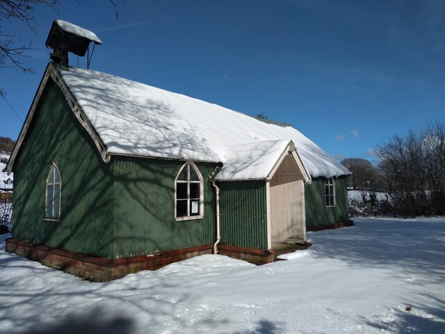
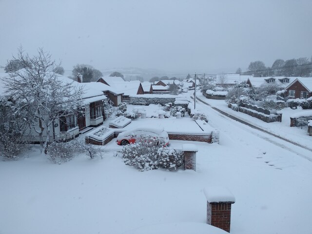
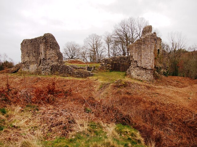
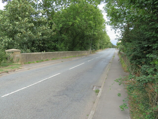
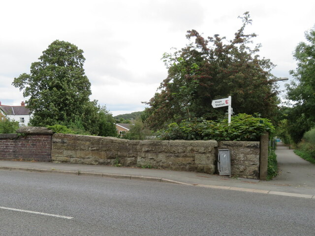
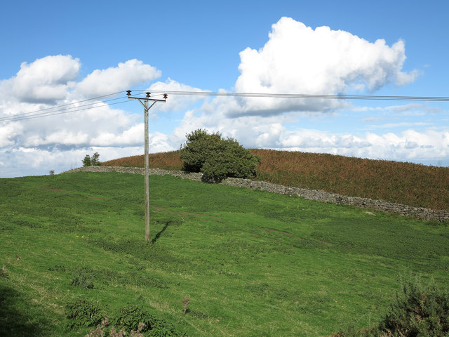
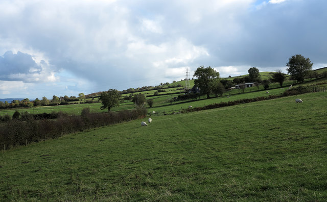
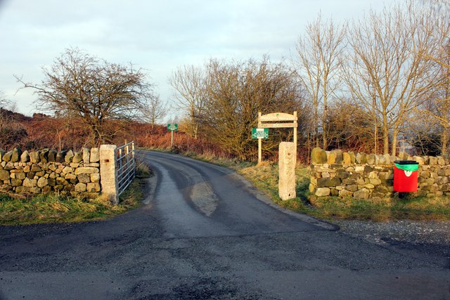
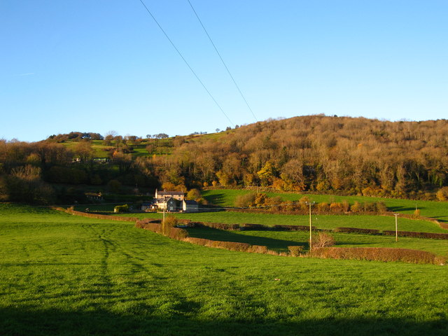
Bryn-Yorkin Wood Images
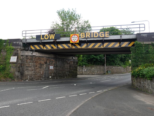
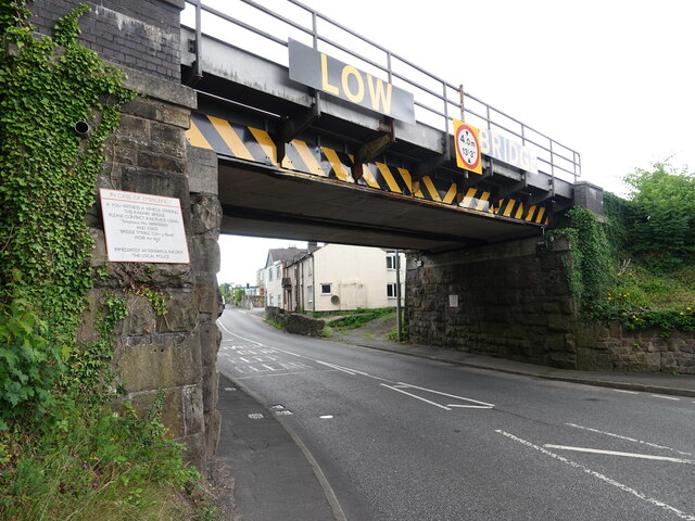
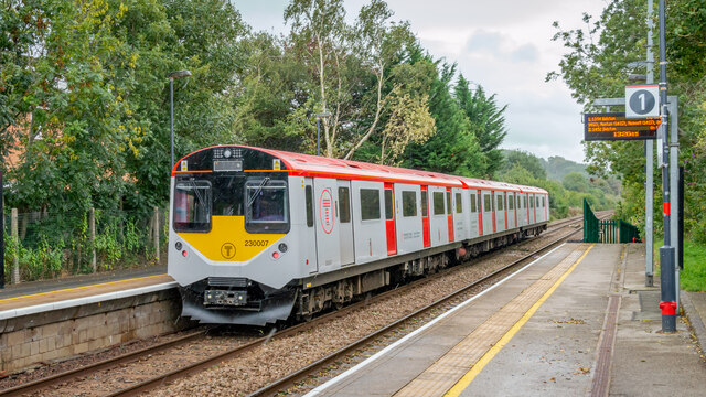
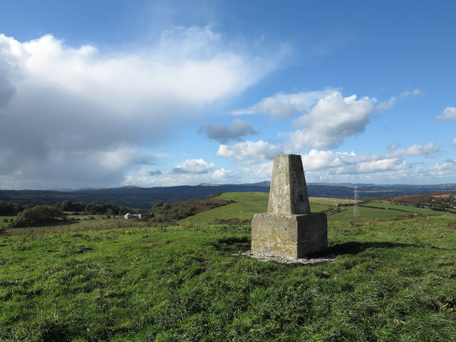
Images are sourced within 2km of 53.104142/-3.0409643 or Grid Reference SJ3056. Thanks to Geograph Open Source API. All images are credited.
Bryn-Yorkin Wood is located at Grid Ref: SJ3056 (Lat: 53.104142, Lng: -3.0409643)
Unitary Authority: Flintshire
Police Authority: North Wales
What 3 Words
///essay.papers.providing. Near Caergwrle, Flintshire
Nearby Locations
Related Wikis
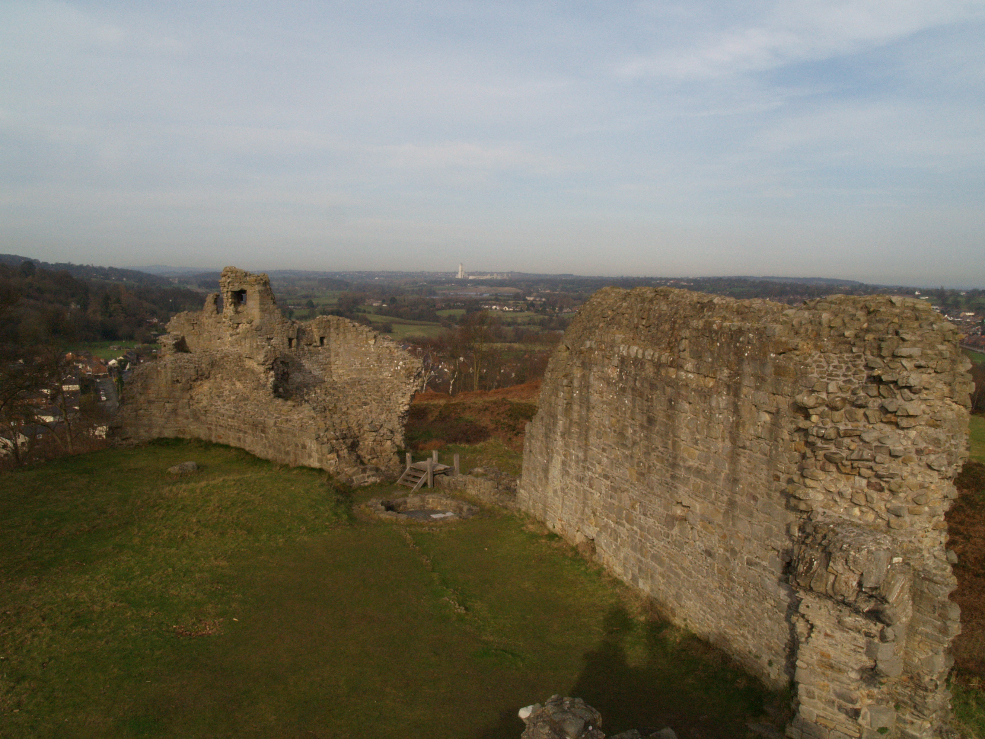
Caergwrle Castle
Caergwrle Castle (Welsh: Castell Caergwrle), also known as Queen's Hope in scholarly texts, is located in the town of Caergwrle, in Flintshire, Wales....

Hope, Flintshire
Hope (Welsh: Yr Hôb) is a small village and community in Flintshire, north-east Wales. The village is located approximately 3 miles / 4.5 km from the Wales...
Abermorddu
Abermorddu () is a village in the county of Flintshire, Wales, in the community of Hope. Approximately 5 miles north of Wrexham along the A541 road, it...

Caergwrle railway station
Caergwrle railway station serves the village of Caergwrle in Flintshire, Wales. The station is 4¾ miles (7 km) north of Wrexham Central on the Borderlands...
Nearby Amenities
Located within 500m of 53.104142,-3.0409643Have you been to Bryn-Yorkin Wood?
Leave your review of Bryn-Yorkin Wood below (or comments, questions and feedback).