Wynyard Village

Settlement in Durham

England

Wynyard Village

A689 Hartlepool Road As viewed from the pedestrian / cycle bridge that carries that takes users of the Castle Eden walkway over the busy road.
A689 Hartlepool Road Credit: David Robinson

Wynyard Village is a small suburban village located in County Durham, England. Situated approximately 10 miles west of Hartlepool and 15 miles east of Durham city, it is nestled in the picturesque Tees Valley countryside.

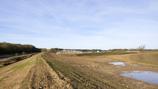
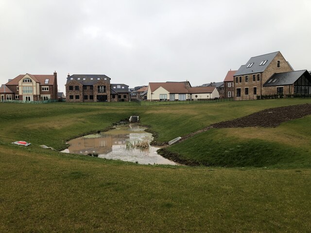
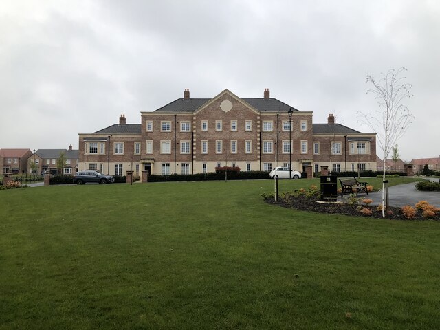
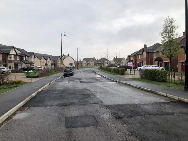
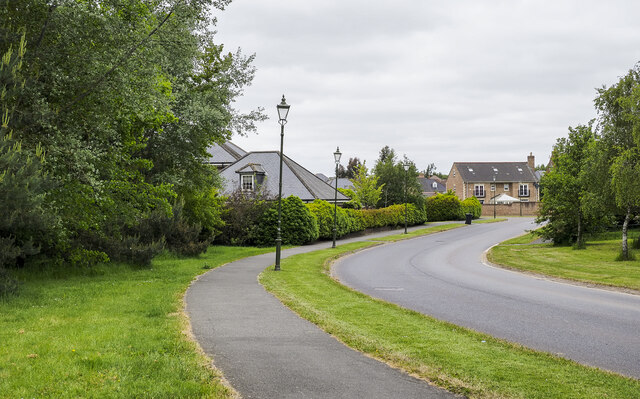
Originally built as part of a larger private estate, Wynyard Village has evolved into a thriving community with a mix of residential properties, amenities, and green spaces. The village boasts a range of modern houses, from spacious family homes to stylish apartments, catering to a diverse population.

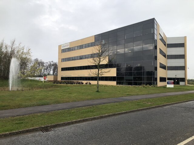
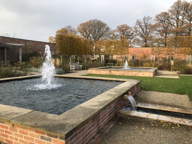
The heart of the village is the Village Green, a beautifully landscaped area surrounded by shops, cafes, and restaurants. Here, residents and visitors can enjoy a relaxed atmosphere and socialize with friends and neighbors. The village also offers a community center, providing a variety of activities and events for all age groups.

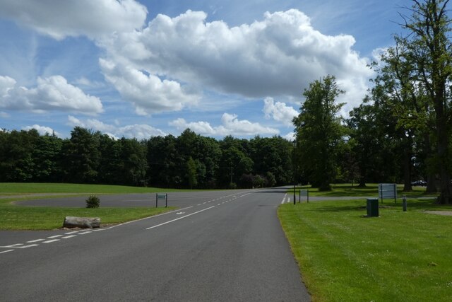
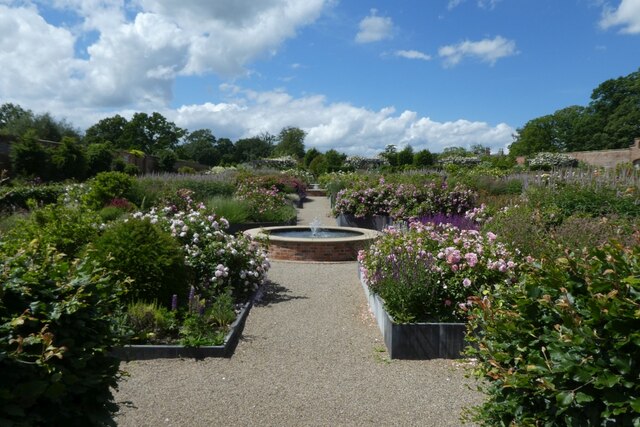
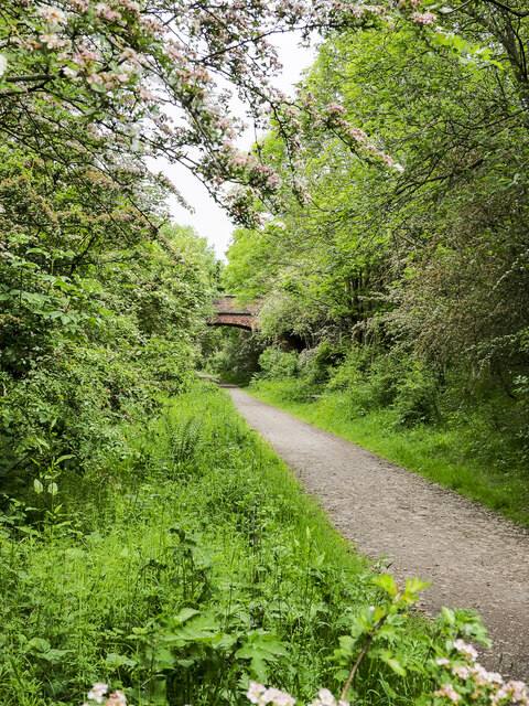
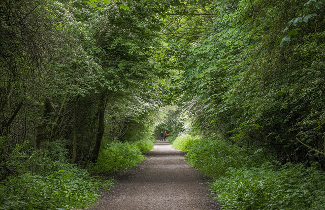
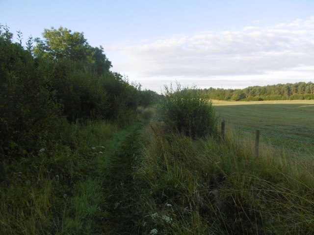
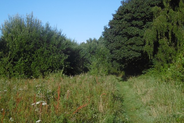
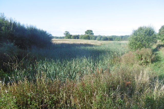
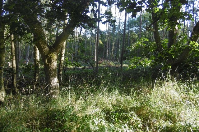
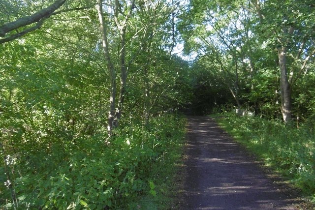
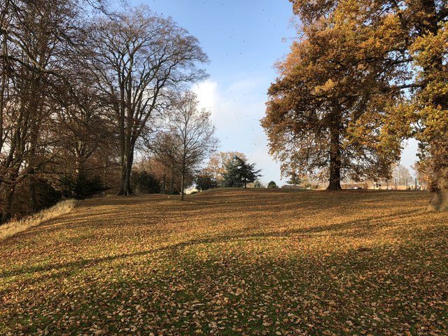
Wynyard Village's peaceful and serene setting is further enhanced by its close proximity to Wynyard Park, a large country estate with vast open spaces, woodlands, and a stunning lake. This provides ample opportunities for outdoor activities such as walking, jogging, and cycling.

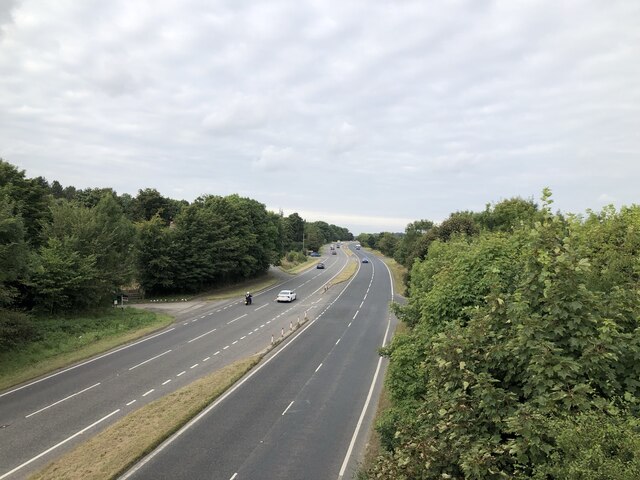
The village benefits from excellent transportation links, with easy access to major road networks including the A19 and A689. Additionally, the nearby train stations of Billingham and Hartlepool provide connections to the wider region.

In summary, Wynyard Village offers a unique blend of modern living within a rural setting. Its close-knit community, range of amenities, and beautiful surroundings make it an attractive place to live or visit in County Durham.

If you have any feedback on the listing, please let us know in the comments section below.

Wynyard Village Images

Images are sourced within 2km of 54.637443/-1.3508287 or Grid Reference NZ4127. Thanks to Geograph Open Source API. All images are credited.

A689 Hartlepool Road As viewed from the pedestrian / cycle bridge that carries that takes users of the Castle Eden walkway over the busy road.
A689 Hartlepool Road
As viewed from the pedestrian / cycle bridge that carries that takes users of the Castle Eden walkway over the busy road.
Earth rampart parallel to A689 It seems that preparations are being made for house building - there's a large sign just behind the camera position advertising luxury houses for sale.
Earth rampart parallel to A689
It seems that preparations are being made for house building - there's a large sign just behind the camera position advertising luxury houses for sale.
New Housing Development Exclusive housing development, Wynyard Park
New Housing Development
Exclusive housing development, Wynyard Park
Wynyard Park Housing A new apartment building in the Wynyard Park development. On the north side of the A689, the exclusive new series of developments offers various housing options up to large self builds valued in excess of £2M.
Wynyard Park Housing
A new apartment building in the Wynyard Park development. On the north side of the A689, the exclusive new series of developments offers various housing options up to large self builds valued in excess of £2M.
New housing development New housing in one of the residential developments at Wynyard Park.
New housing development
New housing in one of the residential developments at Wynyard Park.
Office building, Wynyard Park
Road at Wynyard Hall On the left is car parking for the gardens.
Road at Wynyard Hall
On the left is car parking for the gardens.
Gardens from the cafe Looking into the gardens at Wynyard Hall from the Garden Cafe.
Gardens from the cafe
Looking into the gardens at Wynyard Hall from the Garden Cafe.
Path of Castle Eden Walkway approaching brick-built bridge The Castle Eden Walkway heading north towards a bridge partly concealed by trees and other vegetation. The Walkway is along the route of an old railway track. The purpose of the bridge is not known; perhaps it was just an accommodation bridge.
Path of Castle Eden Walkway approaching brick-built bridge
The Castle Eden Walkway heading north towards a bridge partly concealed by trees and other vegetation. The Walkway is along the route of an old railway track. The purpose of the bridge is not known; perhaps it was just an accommodation bridge.
First houses along Wynyard Woods Wynyard Woods is a winding road threading its way among upmarket homes in an area of Wynyard Village which is on the outskirts of Billingham.
First houses along Wynyard Woods
Wynyard Woods is a winding road threading its way among upmarket homes in an area of Wynyard Village which is on the outskirts of Billingham.
Castle Eden Walkway The Castle Eden Walkway is an old railway route, now a footpath and cycleway. Here it's seen looking south within the Wynyard Woodland Park to the west of Wynyard Village.
Castle Eden Walkway
The Castle Eden Walkway is an old railway route, now a footpath and cycleway. Here it's seen looking south within the Wynyard Woodland Park to the west of Wynyard Village.
Pickard's Meadow A 2012 orienteering map show the clearing to be all rough open and unfenced. Now much of the area is an improved field inside a barbed wire fence. There is a cattle handling pen near the now disused brick bridge over the old Castle Eden railway.  The field is accessed from the trackbed.

The rest of Pickard's Meadow is covered in young trees and scrub.
Pickard's Meadow
A 2012 orienteering map show the clearing to be all rough open and unfenced. Now much of the area is an improved field inside a barbed wire fence. There is a cattle handling pen near the now disused brick bridge over the old Castle Eden railway. The field is accessed from the trackbed. The rest of Pickard's Meadow is covered in young trees and scrub.
Path, Brierley Wood A path on the edge of Pickard's Meadow, a field within the wood.
Path, Brierley Wood
A path on the edge of Pickard's Meadow, a field within the wood.
Pond, Pickard's Meadow Parts are regularly dug out to keep some open water. There were moorhens amongst the bull rushes.
Pond, Pickard's Meadow
Parts are regularly dug out to keep some open water. There were moorhens amongst the bull rushes.
West Carr Plantation Part of Brierley Wood. The woodland is being improved by thinning and encouraging native species.
West Carr Plantation
Part of Brierley Wood. The woodland is being improved by thinning and encouraging native species.
Castle Eden Walkway Or Wynyard Woodland Park. The former railway is now a path from the visitor centre up to Brierley Wood and beyond.
Castle Eden Walkway
Or Wynyard Woodland Park. The former railway is now a path from the visitor centre up to Brierley Wood and beyond.
Water Features, Wynyard Water features seen within the walled garden on the Wynyard Hall estate.
Water Features, Wynyard
Water features seen within the walled garden on the Wynyard Hall estate.
Wynyard Park Autumnal colours in Wynyard Park
Wynyard Park
Autumnal colours in Wynyard Park
Show me another place!

Wynyard Village is located at Grid Ref: NZ4127 (Lat: 54.637443, Lng: -1.3508287)

Unitary Authority: Stockton-on-Tees

Police Authority: Cleveland

What 3 Words

///joystick.solving.goggle. Near Grindon, Co. Durham

Nearby Locations

Wynyard Village

Related Wikis

Wynyard Park, County Durham

Wynyard, sometimes known as Wynyard Hall, is a large English country house near Stockton-on-Tees in County Durham. The house was the English family seat...

2005 Seve Trophy

The 2005 Seve Trophy took place 22–25 September at Wynyard Golf Club, in North East England. The team captain for Great Britain and Ireland was Colin Montgomerie...

Wynyard Golf Club

Wynyard Golf Club is a golf club situated in the village of Wynyard near Sedgefield, County Durham, England. The course was built in 1996 alongside the...

Wynyard railway station (England)

Wynyard railway station was a railway station on the Castle Eden branch of the North Eastern Railway (NER) from 1880 to 1931. It was located immediately...

Nearby Amenities

Located within 500m of 54.637443,-1.3508287
Wynyard Village
Place: village
Population: 2462
Wikidata: Q33108863
Lat/Long: 54.6367621/-1.3508348
Traffic Calming: table
Lat/Long: 54.6350897/-1.3499814
The Co-operative Food
Shop: convenience
Lat/Long: 54.6367796/-1.3502383
Post Box
Lat/Long: 54.6370401/-1.3498254
Pharmacy
Lat/Long: 54.6368031/-1.3510221
Shop: hairdresser
Lat/Long: 54.6368714/-1.3502282
Atm
Lat/Long: 54.636828/-1.3503355
Traffic Signals
Crossing: no
Traffic Signals Direction: forward
Lat/Long: 54.6416651/-1.3528764
Traffic Calming: table
Lat/Long: 54.6354382/-1.3501169
Traffic Calming: table
Lat/Long: 54.6363161/-1.3537781
Traffic Calming: table
Lat/Long: 54.6357354/-1.3504413
Traffic Calming: table
Lat/Long: 54.636281/-1.3507089
Traffic Calming: table
Lat/Long: 54.6361078/-1.3522653
Traffic Calming: table
Lat/Long: 54.635158/-1.3537673
Traffic Calming: table
Lat/Long: 54.6356042/-1.3545377
Traffic Calming: table
Lat/Long: 54.6366002/-1.3498212
Traffic Calming: table
Lat/Long: 54.6368561/-1.3531595
Traffic Calming: table
Lat/Long: 54.6373973/-1.3523222
Traffic Signals
Traffic Signals: pedestrian_crossing
Lat/Long: 54.6409823/-1.3517593
Traffic Signals
Traffic Signals: pedestrian_crossing
Lat/Long: 54.6410432/-1.3523538
The data included in this document is from www.openstreetmap.org. The data is made available under ODbL.

Have you been to Wynyard Village?

Leave your review of Wynyard Village below (or comments, questions and feedback).