Wyndford
Settlement in Lanarkshire
Scotland
Wyndford
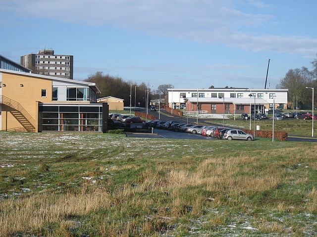
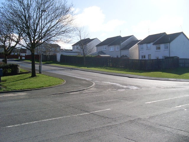
Wyndford is a small residential area located in the town of Maryhill, within the council area of Glasgow City, Lanarkshire, Scotland. Situated to the northwest of Glasgow city center, Wyndford is bordered by the areas of Maryhill, Ruchill, and Hamiltonhill.
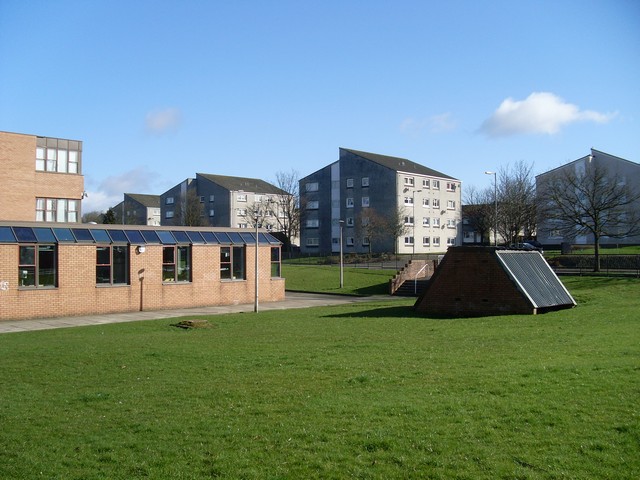
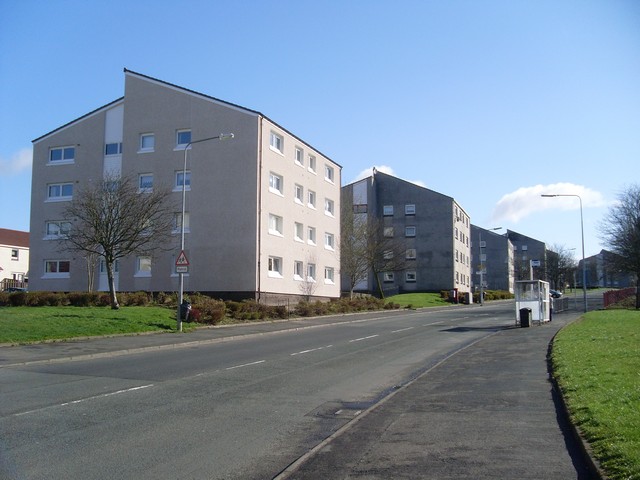
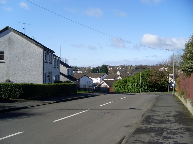
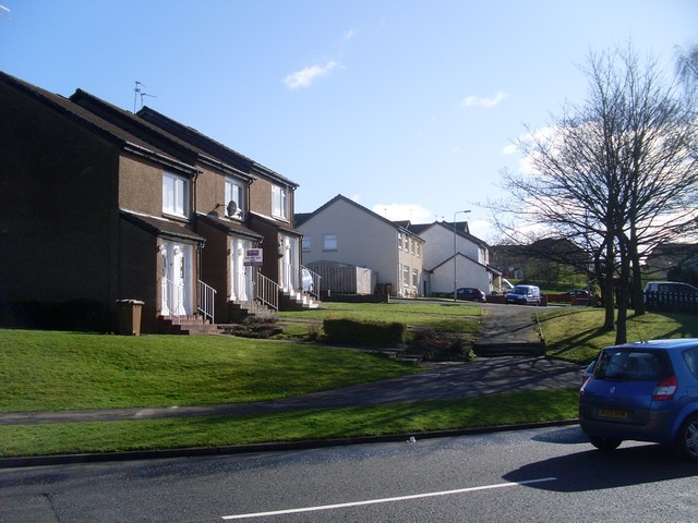
Primarily a housing estate, Wyndford is characterized by its rows of terraced houses and low-rise flats, providing affordable accommodation for its residents. The area has a diverse mix of housing types, ranging from traditional tenement buildings to more modern developments. Many of the properties feature well-maintained gardens and communal spaces.
Wyndford benefits from its close proximity to Glasgow city center, which is only a short distance away by car or public transport. This allows residents to easily access the various amenities and services available in the city, including shopping centers, restaurants, and cultural attractions.
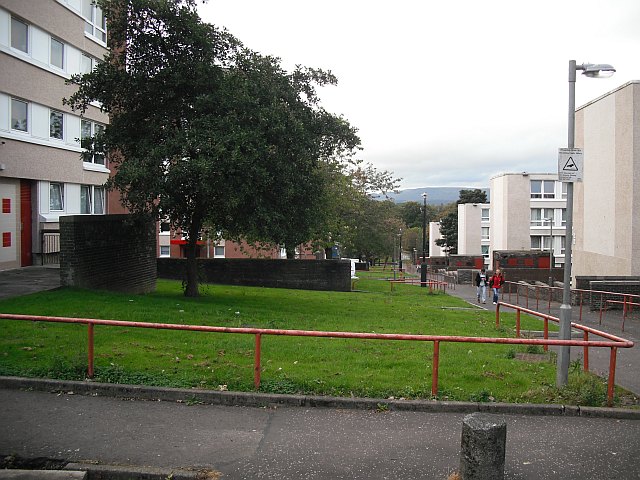
In terms of local facilities, Wyndford has its own community center, which hosts a range of activities and events for residents of all ages. There are also several parks and green spaces in the vicinity, providing opportunities for outdoor recreation and leisure activities.
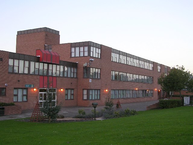
Education is provided by the nearby schools in Maryhill, ensuring that families in Wyndford have access to quality education for their children. The area also benefits from good transport links, with regular bus services connecting it to other parts of Glasgow.
Overall, Wyndford offers a pleasant residential environment with its affordable housing, convenient location, and access to essential amenities and services.
If you have any feedback on the listing, please let us know in the comments section below.
Wyndford Images
Images are sourced within 2km of 55.889366/-4.2879255 or Grid Reference NS5768. Thanks to Geograph Open Source API. All images are credited.
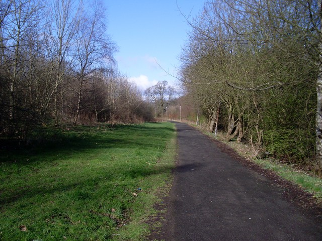
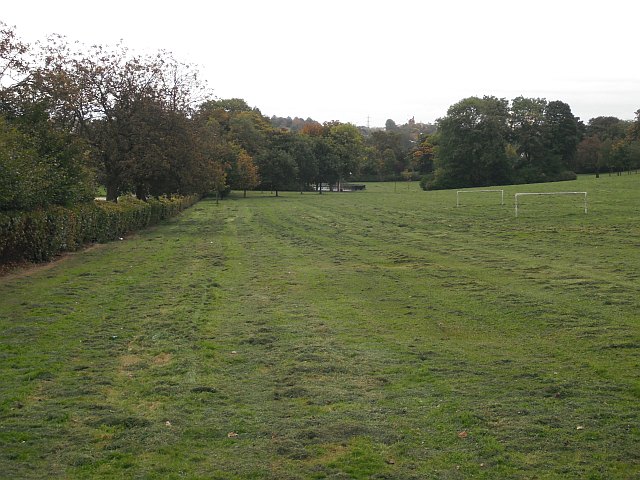
![Path through Acre Like the rest of Maryhill, the area that is now called Acre lies in what was originally the northern part of the old Gairbraid estate. Through his wife (the eponymous Mary Hill), Robert Graham came to acquire these lands; after a failed attempt to make money in the coal industry, he sold off some of his wife&#039;s lands, but &quot;the part of Maryhill known as Acre was once the acre of ground which Graham held back from a sale in order to &#039;big colliers&#039; houses&#039;&quot; [quotation from the book &quot;Villages of Glasgow – North of the Clyde&quot; by Aileen Smart; see that work for more on all of the above; note that in the quotation, &quot;to big&quot; means &quot;to build/erect&quot;].
For a wider view of this area, see <a href="https://www.geograph.org.uk/photo/1517250">NS5570 : Acre Road flats</a>.](https://s3.geograph.org.uk/geophotos/01/65/53/1655327_6404daa2.jpg)
Wyndford is located at Grid Ref: NS5768 (Lat: 55.889366, Lng: -4.2879255)
Unitary Authority: City of Glasgow
Police Authority: Greater Glasgow
What 3 Words
///robots.clip.field. Near Glasgow
Nearby Locations
Related Wikis
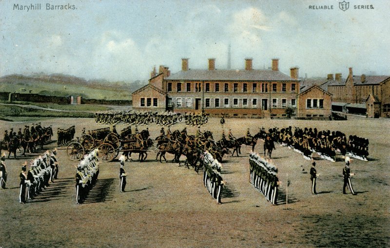
Maryhill Barracks
Maryhill Barracks was built on 12 hectares (30 acres) of the Ruchill estate, in the Maryhill area of northern Glasgow, Scotland. == History == The barracks...

Maryhill Central railway station
Maryhill Central was a railway station to the north west of Glasgow. == Location == To the west of the station was a triangular set of junctions. Immediately...

Lochburn Park
Lochburn Park is a football stadium in the Maryhill area of Glasgow, Scotland. It is the home ground Maryhill F.C. of the Scottish Junior Football Association...

Maryhill Burgh Halls
Maryhill Burgh Halls is a local heritage site located in the Maryhill area of Glasgow, a few miles North-West of Glasgow city centre. Maryhill Burgh Halls...
Related Videos

Walking From University Avenue To Charing Cross in Glasgow, Scotland | 4K, Binaural Audio
A walk from University Avenue to Charing Cross in Glasgow Scotland. The walk takes us past Glasgow University and along ...

Walking Along Great Western Road, Glasgow, Scotland | 4K, Binaural Audio - March 2021
A walk along Great Western Road in the West End of Glasgow, Scotland in March 2021. Temperature is about 9C with low wind ...

Walking Through Victoria Park, Glasgow, Scotland | 4K, Binaural Audio
A rare sunny evening in February in Victoria Park, Glasgow. Temperature is around 10C with low wind speeds. Subscribe for ...

مشى في الحديقه مع المناظر الخلابه🚶♂️ 😍💚 Walking in the garden with stunning views
Walking #garden #stunning_views #scotland #glasgow #lovetravels022 #summervibes #uk السلام عليكم اخواتي و اتمنى منكم الدعم ...
Nearby Amenities
Located within 500m of 55.889366,-4.2879255Have you been to Wyndford?
Leave your review of Wyndford below (or comments, questions and feedback).