New Quarrington

Settlement in Lincolnshire North Kesteven

England

New Quarrington

Buildings in the market place, Sleaford An awkward situation where buildings face a pay-and-display car park.
Buildings in the market place, Sleaford Credit: Humphrey Bolton

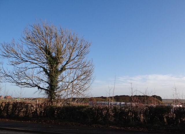
New Quarrington is a small village located in the county of Lincolnshire, England. Situated approximately 3 miles southeast of the town of Sleaford, it falls within the North Kesteven district. The village is nestled in a rural setting, surrounded by open fields and countryside, which contributes to its peaceful and picturesque atmosphere.

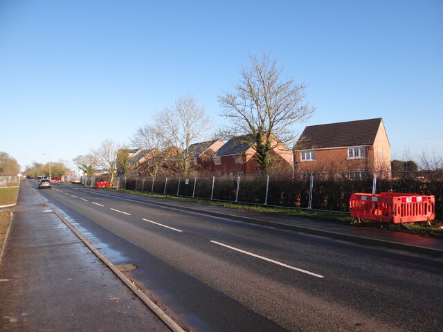
With a population of around 500 residents, New Quarrington maintains a tight-knit community feel. The village is primarily residential, consisting of a mix of modern houses and traditional cottages. The architecture reflects the area's rich history, with some buildings dating back several centuries.

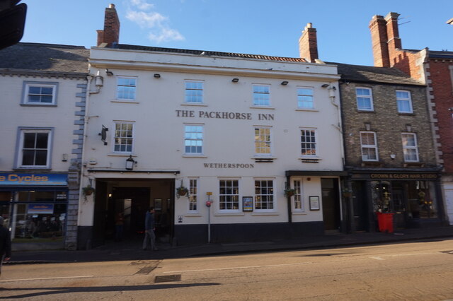
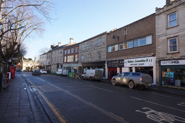
The village benefits from a few local amenities, including a primary school, a village hall, and a small convenience store, providing essential services to residents. Although limited in its offerings, New Quarrington benefits from its close proximity to Sleaford, where a wider range of amenities, shops, and services can be found.

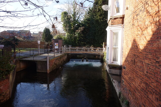
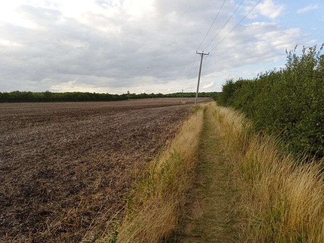
Nature enthusiasts will find plenty to explore in the surrounding area, with numerous footpaths and bridleways available for walking, cycling, and horseback riding. The village is also located near the Sleaford Navigation Canal, providing opportunities for boating and fishing.

Overall, New Quarrington offers a tranquil and idyllic setting for those seeking a peaceful village lifestyle, while still benefiting from the nearby amenities and conveniences of the larger town of Sleaford.

If you have any feedback on the listing, please let us know in the comments section below.

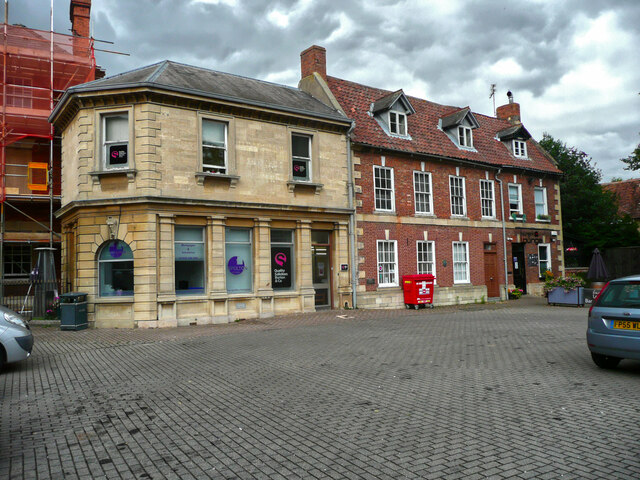
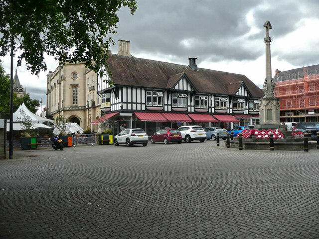
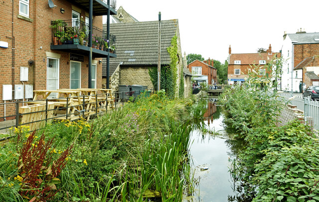
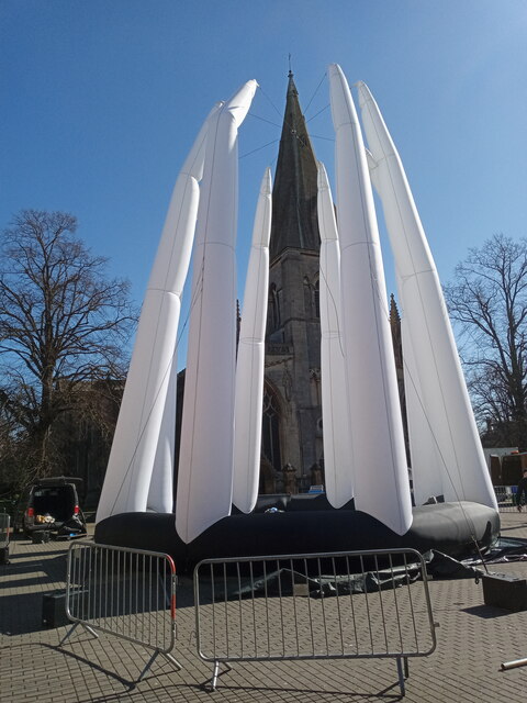
New Quarrington Images

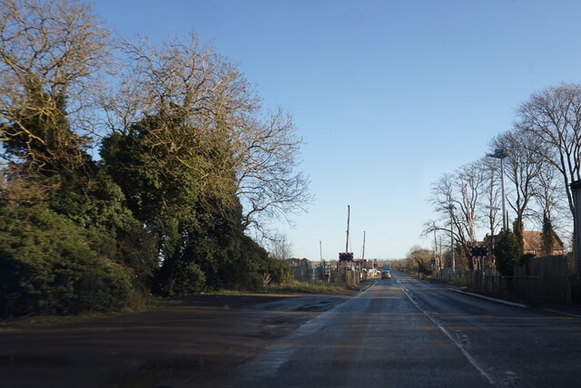
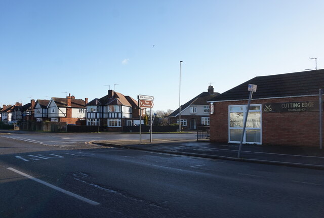
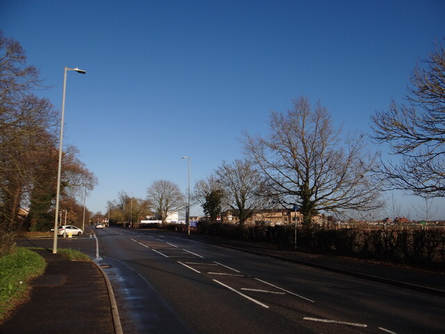
Images are sourced within 2km of 52.990985/-0.4326514 or Grid Reference TF0544. Thanks to Geograph Open Source API. All images are credited.

Buildings in the market place, Sleaford An awkward situation where buildings face a pay-and-display car park.
Buildings in the market place, Sleaford
An awkward situation where buildings face a pay-and-display car park.
Window, St Denys, Sleaford This is one of the windows with "flowing tracery" that Nikolaus Pevsner remembered the church for. It is similar in style to the east window of the chancel of Boston church.
Window, St Denys, Sleaford
This is one of the windows with "flowing tracery" that Nikolaus Pevsner remembered the church for. It is similar in style to the east window of the chancel of Boston church.
Café, shops and war memorial, Market Place, Sleaford
The River Slea Viewed on a disappointingly dull summer day.
The River Slea
Viewed on a disappointingly dull summer day.
Tesco at Sleaford Located on North Gate.
Tesco at Sleaford
Located on North Gate.
RiverLight Festival installation One of a number of things to see at the RiverLight (sic) festival held over the weekend of 19th/20th March 2022.  St Deny's church spire behind takes it all in its stride.

This particular installation is called 'Octo', by Dream Engine and features an acrobat 'inside' during an aerial performance.
RiverLight Festival installation
One of a number of things to see at the RiverLight (sic) festival held over the weekend of 19th/20th March 2022. St Deny's church spire behind takes it all in its stride. This particular installation is called 'Octo', by Dream Engine and features an acrobat 'inside' during an aerial performance.
The Packhorse Inn, North Gate, Sleaford
East Gate, Sleaford
East Gate, Sleaford
Post boxes on East Gate, Sleaford
St Denys' Church, Sleaford
River Slea from Carre Bridge, Sleaford
Grantham Road towards Sleaford
Grantham Road at London Road, Sleaford
Stubble by the path The field to the left has produced its crop.  Not sure what it was but it's gone now!  Whatever it was, the field looks much better in June <a href="https://www.geograph.org.uk/photo/6189888">TF0546 : Footpath from Drove Lane to Holdingham</a>.
Stubble by the path
The field to the left has produced its crop. Not sure what it was but it's gone now! Whatever it was, the field looks much better in June TF0546 : Footpath from Drove Lane to Holdingham.
Care Home taking shape Behind the hedge near the Town Road junction to the middle right of the photo can be seen the construction of a new Care Home.
Care Home taking shape
Behind the hedge near the Town Road junction to the middle right of the photo can be seen the construction of a new Care Home.
Going, going The slim triangular trees in the distance, reminiscent of a tree-cathedral inside is slowly being obscured from view.  Hopefully the bulldozers will spare it, unlike the poppy field that once occupied this spot <a href="https://www.geograph.org.uk/photo/1364286">TF0644 : Red Fields from Stump Cross Hill</a>.
Going, going
The slim triangular trees in the distance, reminiscent of a tree-cathedral inside is slowly being obscured from view. Hopefully the bulldozers will spare it, unlike the poppy field that once occupied this spot TF0644 : Red Fields from Stump Cross Hill.
New houses under construction at Stump Cross Hill Looking along the road in the direction of Sleaford.
New houses under construction at Stump Cross Hill
Looking along the road in the direction of Sleaford.
More new houses This development lies south of Town Road.
More new houses
This development lies south of Town Road.
Show me another place!

New Quarrington is located at Grid Ref: TF0544 (Lat: 52.990985, Lng: -0.4326514)

Division: Parts of Kesteven

Administrative County: Lincolnshire

District: North Kesteven

Police Authority: Lincolnshire

What 3 Words

///stopped.lecturing.jobs. Near Sleaford, Lincolnshire

Related Wikis

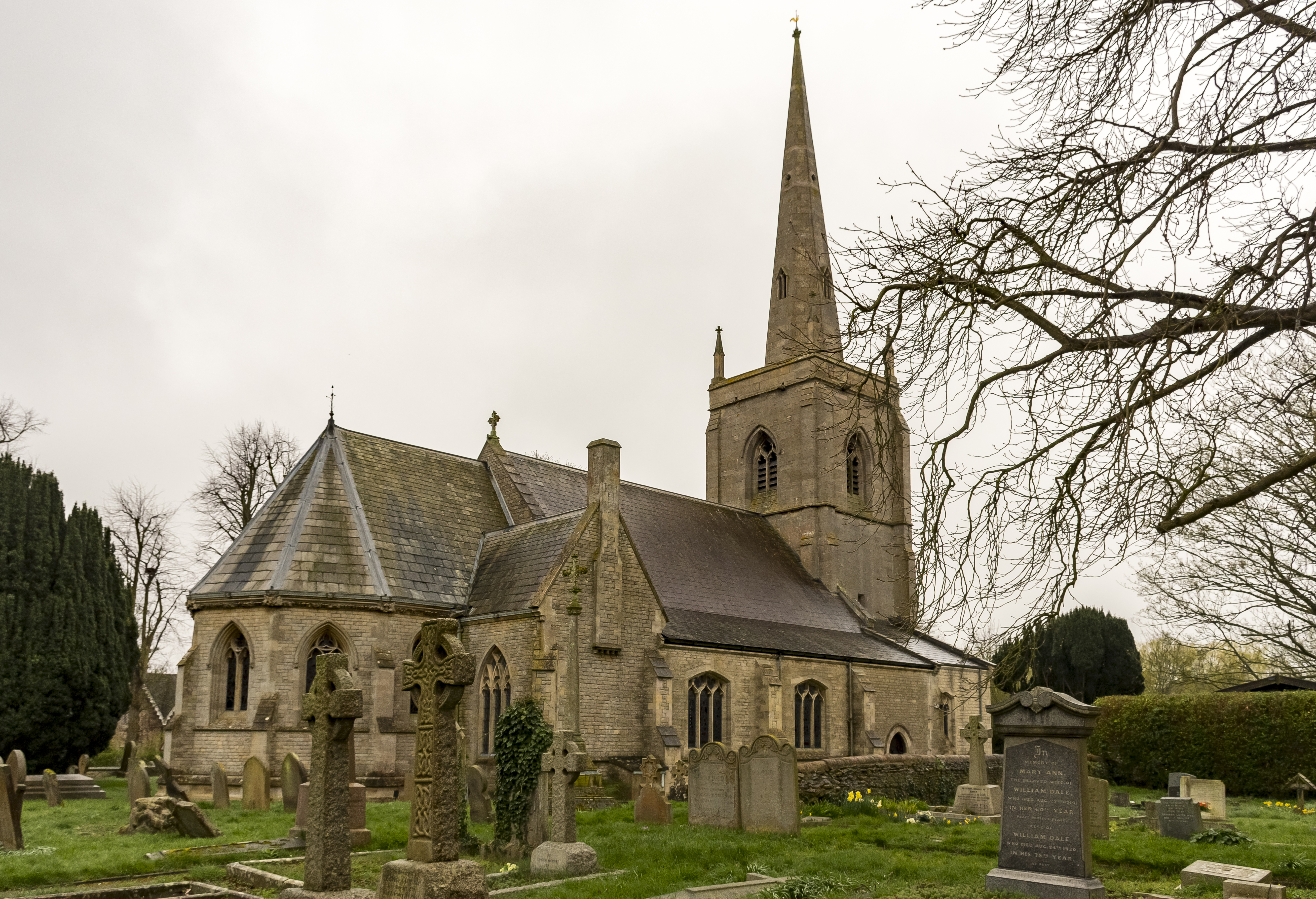
St Botolph's Church, Quarrington

St Botolph's Church is an Anglican church in Quarrington in Lincolnshire, England. The area has been settled since at least the Anglo-Saxon period, and...

Quarrington, Lincolnshire

Quarrington is a village and former civil parish, now part of the civil parish of Sleaford, in the North Kesteven district of Lincolnshire, England. The...

Sleaford Castle

Sleaford Castle is a medieval castle in Sleaford, Lincolnshire, England. Built by the Bishop of Lincoln in the early 1120s, it was habitable as late as...

Sleaford

Sleaford is a market town and civil parish in the North Kesteven district of Lincolnshire, England. Centred on the former parish of New Sleaford, the modern...

Nearby Amenities

Located within 500m of 52.990985,-0.4326514
Bus Stop
238a Grantham Road
Bus: yes
Naptan AtcoCode: 270000008387
Naptan Bearing: E
Naptan CommonName: 238a Grantham Road
Naptan Indicator: o/s
Naptan Landmark: Number 238a
Naptan NaptanCode: lingptwg
Naptan Street: Grantham Road
Naptan Verified: no
Public Transport: platform
Source: naptan_import
Lat/Long: 52.9911293/-0.4310339
Bus Stop
Rookery Avenue
Bus: yes
Naptan AtcoCode: 270000010026
Naptan Bearing: E
Naptan CommonName: Rookery Avenue
Naptan Indicator: adj
Naptan Landmark: Rookery Avenue
Naptan NaptanCode: linjgpgm
Naptan Street: Grantham Road
Naptan Verified: no
Public Transport: platform
Source: naptan_import
Lat/Long: 52.9917201/-0.4253953
Bus Stop
Victory Way
Bus: yes
Naptan AtcoCode: 270002700487
Naptan Bearing: SW
Naptan CommonName: Victory Way
Naptan Indicator: adj
Naptan Landmark: Victory Way
Naptan NaptanCode: linagapd
Naptan Street: Sheldrake Road
Naptan Verified: no
Public Transport: platform
Source: naptan_import
Lat/Long: 52.9952092/-0.4309009
Bus Stop
Hood Close
Bus: yes
Naptan AtcoCode: 270002700488
Naptan Bearing: SE
Naptan CommonName: Hood Close
Naptan Indicator: opp
Naptan Landmark: Hood Close
Naptan NaptanCode: linagadg
Naptan Street: Clay Hill Road
Naptan Verified: no
Public Transport: platform
Source: naptan_import
Lat/Long: 52.9935667/-0.4331507
Bus Stop
Tower View
Bus: yes
Naptan AtcoCode: 270002700489
Naptan Bearing: S
Naptan CommonName: Tower View
Naptan Indicator: opp
Naptan Landmark: Tower View
Naptan NaptanCode: linagamp
Naptan Street: Clay Hill Road
Naptan Verified: no
Public Transport: platform
Source: naptan_import
Lat/Long: 52.9919357/-0.4280992
Bus Stop
Spire View
Bus: yes
Naptan AtcoCode: 270002700490
Naptan Bearing: S
Naptan CommonName: Spire View
Naptan Indicator: adj
Naptan Landmark: Spire View
Naptan NaptanCode: linagajt
Naptan Street: Northfield Road
Naptan Verified: no
Public Transport: platform
Source: naptan_import
Lat/Long: 52.9895325/-0.4326561
Bus Stop
Alfred Close
Bus: yes
Naptan AtcoCode: 270002700491
Naptan Bearing: NE
Naptan CommonName: Alfred Close
Naptan Indicator: adj
Naptan Landmark: Alfred Close
Naptan NaptanCode: linadwjd
Naptan Street: Aidan Road
Naptan Verified: no
Public Transport: platform
Source: naptan_import
Lat/Long: 52.9884034/-0.4288532
Bus Stop
Brecon Way
Bus: yes
Naptan AtcoCode: 270002700677
Naptan Bearing: SE
Naptan CommonName: Brecon Way
Naptan Indicator: adj
Naptan Landmark: Brecon Way
Naptan NaptanCode: linadwjt
Naptan Street: Clay Hill Road
Naptan Verified: no
Public Transport: platform
Source: naptan_import
Lat/Long: 52.9931353/-0.4283983
Bus Stop
Manor Road
Bus: yes
Naptan AtcoCode: 270002701579
Naptan Bearing: E
Naptan CommonName: Manor Road
Naptan Indicator: adj
Naptan Landmark: Manor Road
Naptan NaptanCode: linagadm
Naptan Street: Town Road
Naptan Verified: no
Public Transport: platform
Source: naptan_import
Lat/Long: 52.9870877/-0.4299736
Bus Stop
Malvern Close
Bus: yes
Naptan AtcoCode: 2700LSAD2491
Naptan Bearing: E
Naptan CommonName: Malvern Close
Naptan Indicator: opp
Naptan Landmark: Malvern Close
Naptan NaptanCode: linatdag
Naptan Street: Ancaster Drive
Naptan Verified: no
Public Transport: platform
Source: naptan_import
Lat/Long: 52.990686/-0.4260587
Bus Stop
236 Grantham Road
Bus: yes
Naptan AtcoCode: 2700LSGR0912
Naptan Bearing: W
Naptan CommonName: 236 Grantham Road
Naptan Indicator: opp
Naptan Landmark: Number 236
Naptan NaptanCode: linagpmg
Naptan Street: Grantham Road
Naptan Verified: no
Public Transport: platform
Source: naptan_import
Lat/Long: 52.9911009/-0.4302452
Ele: 29
Lat/Long: 52.991003/-0.4326805
Crossing
Crossing: uncontrolled
Kerb: lowered
Lat/Long: 52.9905406/-0.437661
Crossing
Crossing: uncontrolled
Kerb: lowered
Lat/Long: 52.9905234/-0.4374781
Crossing
Crossing: uncontrolled
Kerb: lowered
Lat/Long: 52.9900719/-0.4381909
Crossing
Crossing: uncontrolled
Kerb: lowered
Lat/Long: 52.9901791/-0.4370871
Crossing
Crossing: uncontrolled
Kerb: lowered
Lat/Long: 52.9901663/-0.438207
Crossing
Bicycle: yes
Crossing: uncontrolled
Kerb: lowered
Lat/Long: 52.9898043/-0.4377936
Crossing
Bicycle: yes
Crossing: uncontrolled
Kerb: lowered
Lat/Long: 52.9897905/-0.4376066
Crossing
Crossing: uncontrolled
Kerb: lowered
Lat/Long: 52.9902678/-0.4371317
Crossing
Crossing: uncontrolled
Crossing Ref: zebra
Tactile Paving: yes
Lat/Long: 52.9911815/-0.4299494
Quarrington
Place: village
Wikidata: Q7269194
Wikipedia: en:Quarrington, Lincolnshire
Lat/Long: 52.9876135/-0.4288532
Quarrington Hill
Natural: peak
Source: Bing
Lat/Long: 52.9929676/-0.4299596
Waste Basket
Waste: dog_excrement
Lat/Long: 52.9909975/-0.430203
Post Box
Collection Times: Mo-Fr 16:45; Sa 11:00
Operator: Royal Mail
Operator Wikidata: Q638098
Post Box Type: pillar
Ref: NG34 3
Royal Cypher: EIIR
Royal Cypher Wikidata: Q33102113
Lat/Long: 52.9912765/-0.4273401
Power: pole
Lat/Long: 52.99398/-0.4379591
Power: pole
Lat/Long: 52.993423/-0.437479
Power: pole
Lat/Long: 52.9932358/-0.4373422
Power: pole
Lat/Long: 52.9928951/-0.436323
Power: pole
Lat/Long: 52.9921299/-0.4358187
Power: pole
Lat/Long: 52.9914631/-0.4354298
Power: pole
Lat/Long: 52.9908156/-0.4350114
Power: pole
Lat/Long: 52.991074/-0.433791
Power: pole
Lat/Long: 52.9904992/-0.4341209
Power: pole
Lat/Long: 52.9896677/-0.43466
Power: pole
Lat/Long: 52.9888152/-0.4351938
Generator Method: photovoltaic
Generator Output Electricity: yes
Generator Source: solar
Generator Type: solar_photovoltaic_panel
Location: roof
Power: generator
Lat/Long: 52.9912015/-0.4266885
Generator Method: photovoltaic
Generator Output Electricity: yes
Generator Source: solar
Generator Type: solar_photovoltaic_panel
Location: roof
Power: generator
Lat/Long: 52.9912338/-0.4265302
Generator Method: photovoltaic
Generator Output Electricity: yes
Generator Source: solar
Generator Type: solar_photovoltaic_panel
Location: roof
Power: generator
Lat/Long: 52.9912935/-0.4260367
Generator Method: photovoltaic
Generator Output Electricity: yes
Generator Source: solar
Generator Type: solar_photovoltaic_panel
Location: roof
Power: generator
Lat/Long: 52.9904055/-0.4261762
Generator Method: photovoltaic
Generator Output Electricity: yes
Generator Source: solar
Generator Type: solar_photovoltaic_panel
Location: roof
Power: generator
Lat/Long: 52.9887409/-0.4268615
Generator Method: photovoltaic
Generator Output Electricity: yes
Generator Source: solar
Generator Type: solar_photovoltaic_panel
Location: roof
Power: generator
Lat/Long: 52.988753/-0.4268172
Generator Method: photovoltaic
Generator Output Electricity: yes
Generator Source: solar
Generator Type: solar_photovoltaic_panel
Location: roof
Power: generator
Lat/Long: 52.9884454/-0.4267475
Generator Method: photovoltaic
Generator Output Electricity: yes
Generator Source: solar
Generator Type: solar_photovoltaic_panel
Location: roof
Power: generator
Lat/Long: 52.988468/-0.4266134
Entrance: yes
Lat/Long: 52.9871582/-0.4312194
The data included in this document is from www.openstreetmap.org. The data is made available under ODbL.

Have you been to New Quarrington?

Leave your review of New Quarrington below (or comments, questions and feedback).