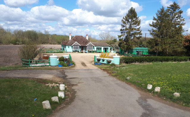
Lower Bourton
Settlement in Berkshire Vale of White Horse
England
Lower Bourton
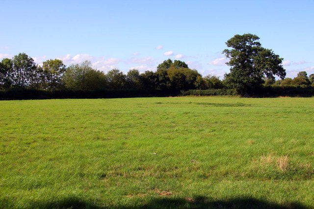
Lower Bourton is a small village located in the county of Berkshire, England. Situated in the southern part of the county, it is nestled amidst the picturesque countryside and offers a tranquil and idyllic setting for its residents. The village is part of the civil parish of Bourton, which also includes the neighboring Upper Bourton.
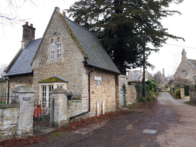
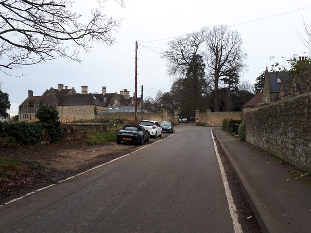
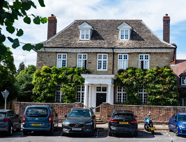
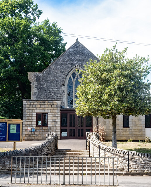
Lower Bourton is characterized by its charming rural atmosphere and is known for its well-preserved historic buildings and traditional architecture. The village dates back centuries, with evidence of human habitation in the area dating as far back as the Roman period. The local church, St. James the Less, is a prominent feature of the village and serves as a reminder of its rich history.
The village is home to a tight-knit community, with a small population of residents who enjoy the peaceful and close-knit nature of the area. The community spirit is evident in the various events and activities that take place throughout the year, including village fairs, social gatherings, and sports events.
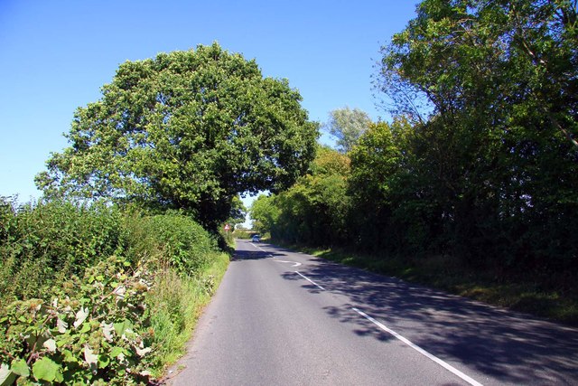
Despite its small size, Lower Bourton benefits from convenient access to nearby towns and cities. The village is well-connected by road, with easy access to major routes such as the A34 and M4 motorway. This allows residents to easily commute to larger urban areas for work or leisure.
Overall, Lower Bourton offers a charming and peaceful rural lifestyle, making it an attractive place to reside for those seeking a quieter pace of life surrounded by beautiful countryside.
If you have any feedback on the listing, please let us know in the comments section below.
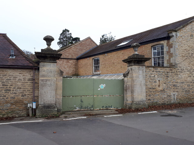
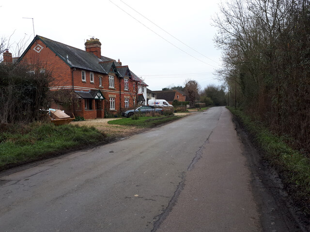
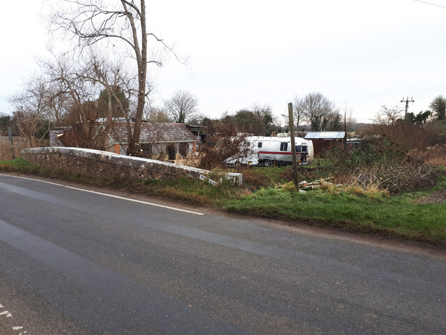
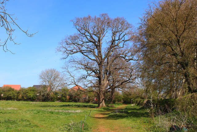
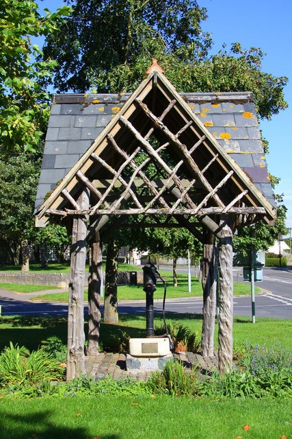
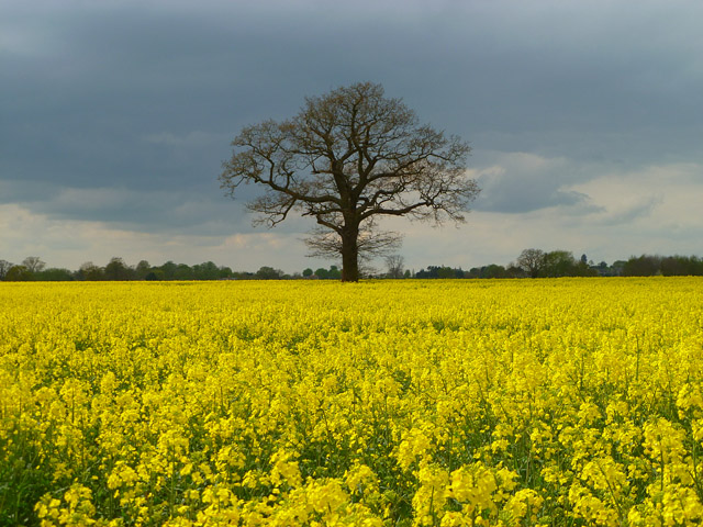
Lower Bourton Images
Images are sourced within 2km of 51.584763/-1.6715154 or Grid Reference SU2287. Thanks to Geograph Open Source API. All images are credited.
Lower Bourton is located at Grid Ref: SU2287 (Lat: 51.584763, Lng: -1.6715154)
Administrative County: Oxfordshire
District: Vale of White Horse
Police Authority: Thames Valley
What 3 Words
///shape.distract.gilding. Near Shrivenham, Oxfordshire
Nearby Locations
Related Wikis

Bourton, Vale of White Horse
Bourton is a village and civil parish in the Vale of White Horse, England, about 4 miles (6.4 km) southeast of Highworth in neighbouring Wiltshire. Bourton...
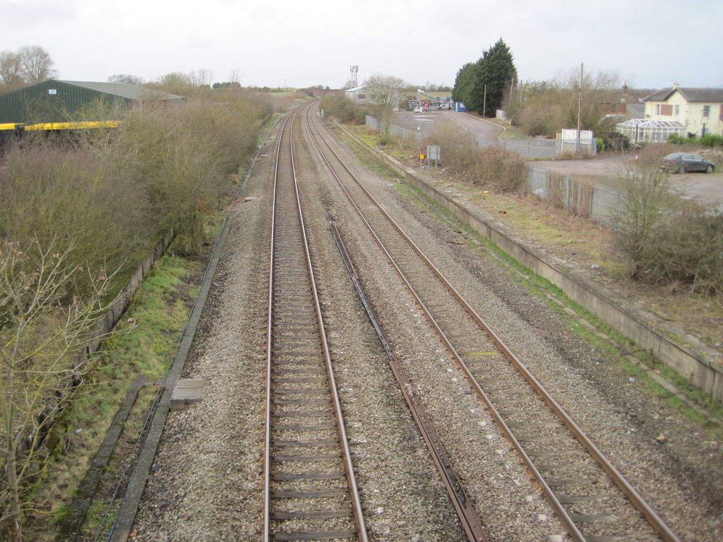
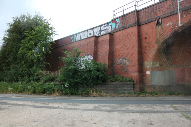
Shrivenham railway station
Shrivenham railway station was a station on the Great Western Main Line serving the village of Shrivenham in what was then part of Berkshire. == History... ==

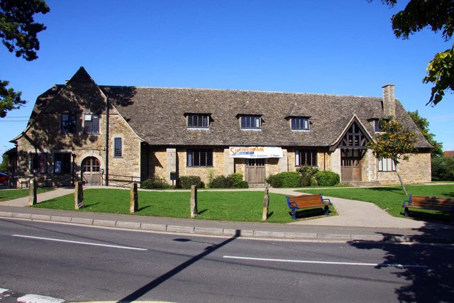
Shrivenham
Shrivenham is a village and civil parish in the Vale of White Horse, Oxfordshire, England, about 5 miles (8 km) south-west of Faringdon. The village is...

Shrivenham F.C.
Shrivenham F.C. is a football club based in Shrivenham, an Oxfordshire village, near Swindon, England. They play in the Wiltshire League Premier Division...

Beckett Hall
Beckett Hall (or Beckett House) is a country house at Shrivenham in the English county of Oxfordshire (formerly in Berkshire). The present house dates...
Royal Army Chaplains' Museum
The Royal Army Chaplains' Museum (formerly the Museum of Army Chaplaincy) tells the story of British Army chaplaincy from earliest times to the present...
Henry Curling
Colonel Henry Thomas Curling (27 July 1847 – 1 January 1910) was a Royal Artillery officer of the British Army who served between 1868 and 1902. He fought...

Defence Academy of the United Kingdom
The Defence Academy of the United Kingdom provides higher education for personnel in the British Armed Forces, Civil Service, other government departments...
Nearby Amenities
Located within 500m of 51.584763,-1.6715154Have you been to Lower Bourton?
Leave your review of Lower Bourton below (or comments, questions and feedback).