Llanycrwys

Settlement in Carmarthenshire

Wales

Llanycrwys

Rhyd Camnant / Camnant ford Llwybr yn rhydio nant Camnant. Sylwer ar y bompren bydredig.

A path fords Camnant (trans. crooked stream). Note the dilapidated footbridge.
Rhyd Camnant / Camnant ford Credit: Alan Richards

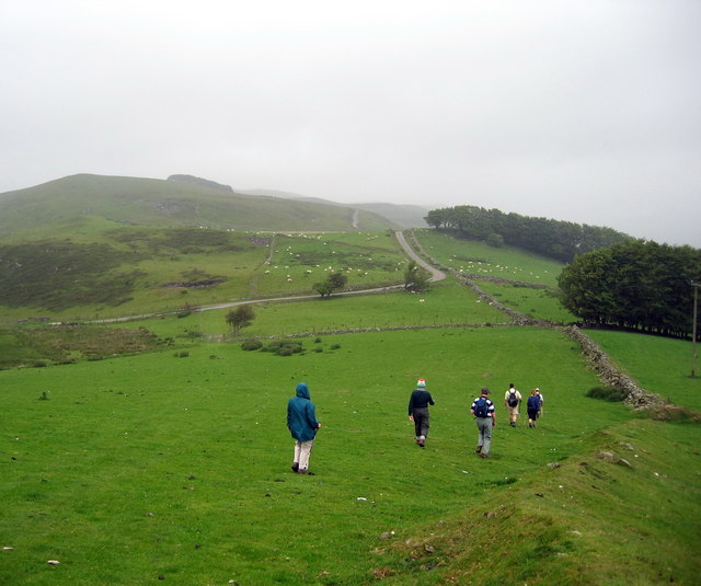
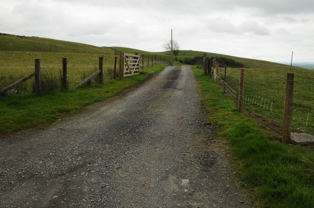
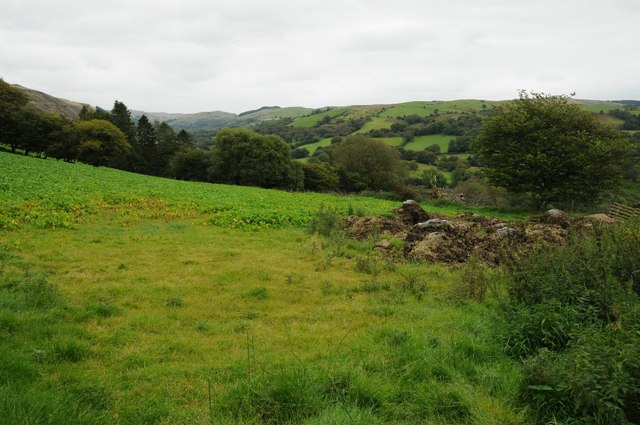
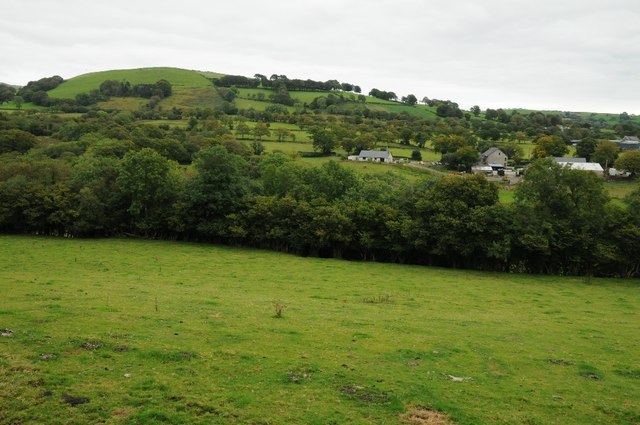
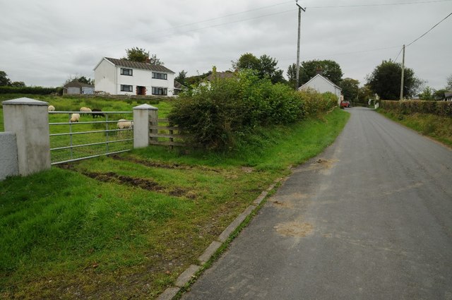
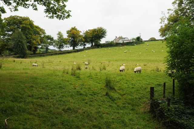
Llanycrwys is a small village located in the county of Carmarthenshire, Wales. Situated approximately 10 miles north of the town of Llandeilo, Llanycrwys is known for its picturesque countryside and rural charm. The village is surrounded by rolling hills and farmland, making it an ideal destination for those seeking a peaceful retreat.

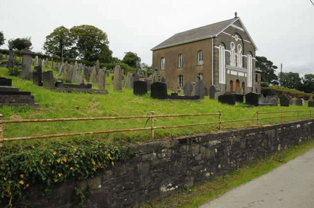
Llanycrwys has a rich history, with evidence of human settlement dating back to ancient times. The village is home to a number of historic buildings, including a 12th-century church dedicated to St. David, which is a popular attraction for visitors.

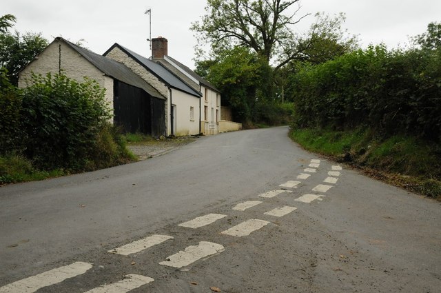
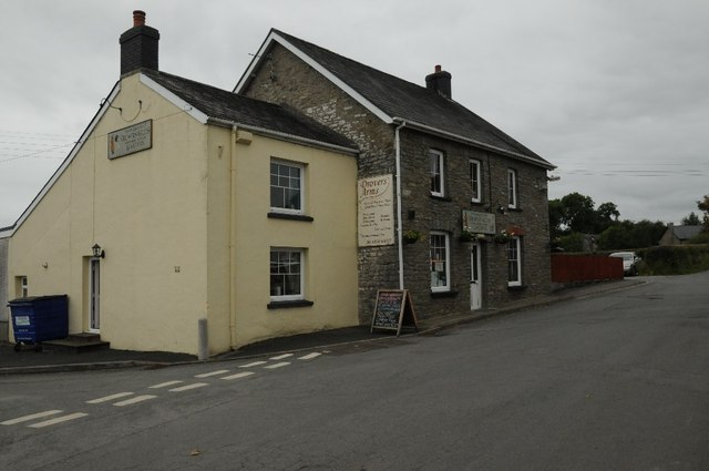
In terms of amenities, Llanycrwys is a small village with limited services. There is a village hall that hosts events and gatherings, as well as a small community shop for basic necessities. The nearest town for more extensive shopping and services is Llandeilo.

Overall, Llanycrwys is a charming village that offers a tranquil setting for those looking to escape the hustle and bustle of city life and explore the beautiful Welsh countryside.

If you have any feedback on the listing, please let us know in the comments section below.

Llanycrwys Images

Images are sourced within 2km of 52.088278/-3.9797508 or Grid Reference SN6445. Thanks to Geograph Open Source API. All images are credited.
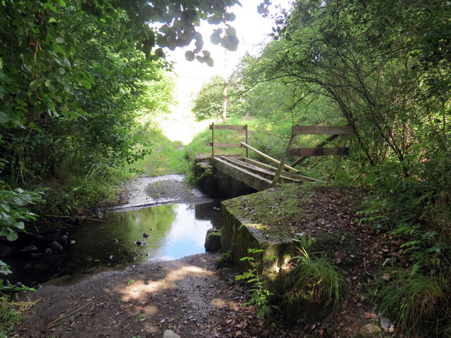
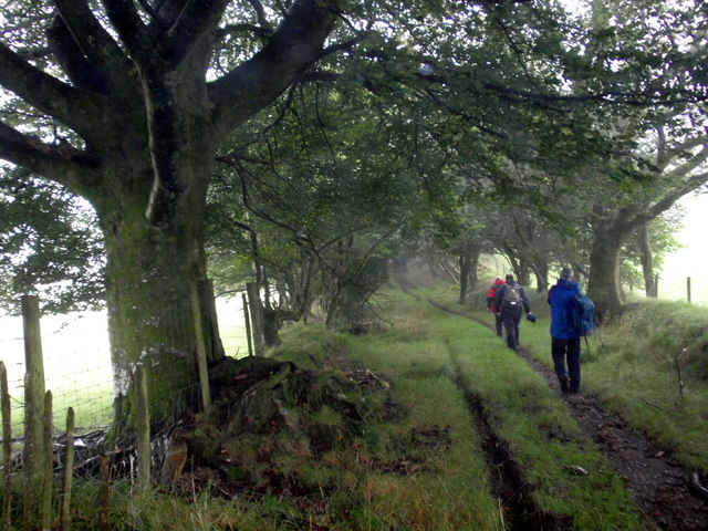
Rhyd Camnant / Camnant ford Llwybr yn rhydio nant Camnant. Sylwer ar y bompren bydredig.

A path fords Camnant (trans. crooked stream). Note the dilapidated footbridge.
Rhyd Camnant / Camnant ford
Llwybr yn rhydio nant Camnant. Sylwer ar y bompren bydredig. A path fords Camnant (trans. crooked stream). Note the dilapidated footbridge.
Troed y Rhiw Heol fach yn mynd heibio i anhedd-dy o'r enw Troed y Rhiw.

A minor road passes a property known as Troed y Rhiw (trans. foot of the hill).
Troed y Rhiw
Heol fach yn mynd heibio i anhedd-dy o'r enw Troed y Rhiw. A minor road passes a property known as Troed y Rhiw (trans. foot of the hill).
Llwybr yn gadael yr heol / Path exits the road Llwybr cyhoeddus yn gadael yr heol ger Ffaldybrenin.

A public footpath exits the road near Ffaldybrenin (trans. the king's [animal] pound).
Llwybr yn gadael yr heol / Path exits the road
Llwybr cyhoeddus yn gadael yr heol ger Ffaldybrenin. A public footpath exits the road near Ffaldybrenin (trans. the king's [animal] pound).
Ffald Llanycrwys animal pound Ffald ynghlwm wrth fynwent Eglwys Llanycrwys. Byddai anifeiliaid crwydr yn cael eu corlannu yma hyd nes y bydd y perchennog yn talu dirwy er cael eu rhyddhau. Ceidwad y ffald oedd y bedel neu'r plwyfwas ac am ofalu a bwydo'r anifeiliaid derbynnai dal mas o'r ddirwy. Os na hawliwyd yr anifail fe'i gwerthid yn y farchnad leol a rhennid yr elw rhwng y plwyfwas ac arglwydd y faenor. Ar un adeg roedd gan bob plwyf ffald ac mae rhai ohonynt yn dyddio o'r 17g a'r 18g. Yn anffodus mae llawer ohonynt bellach wedi diflannu. 

An animal pound attached to Llanycrwys churchyard. Stray animals were impounded here until their owner paid a fine for their release. A beadle fed and looked after the animals and he was remunerated from the proceeds of the fine. If any animal was not claimed then it would be sold at the local market and the profits shared between the beadle and the lord of the manor. Every parish would have had an animal pound and most of them date from the seventeenth and eighteenth centuries. Unfortunately, many of them have disappeared.
Ffald Llanycrwys animal pound
Ffald ynghlwm wrth fynwent Eglwys Llanycrwys. Byddai anifeiliaid crwydr yn cael eu corlannu yma hyd nes y bydd y perchennog yn talu dirwy er cael eu rhyddhau. Ceidwad y ffald oedd y bedel neu'r plwyfwas ac am ofalu a bwydo'r anifeiliaid derbynnai dal mas o'r ddirwy. Os na hawliwyd yr anifail fe'i gwerthid yn y farchnad leol a rhennid yr elw rhwng y plwyfwas ac arglwydd y faenor. Ar un adeg roedd gan bob plwyf ffald ac mae rhai ohonynt yn dyddio o'r 17g a'r 18g. Yn anffodus mae llawer ohonynt bellach wedi diflannu. An animal pound attached to Llanycrwys churchyard. Stray animals were impounded here until their owner paid a fine for their release. A beadle fed and looked after the animals and he was remunerated from the proceeds of the fine. If any animal was not claimed then it would be sold at the local market and the profits shared between the beadle and the lord of the manor. Every parish would have had an animal pound and most of them date from the seventeenth and eighteenth centuries. Unfortunately, many of them have disappeared.
Uwchben Esgair Crwys / Above Esgair Crwys Cerddwyr yn dilyn llwybr cyhoeddus uwchben Ffarm Esgair Crwys.

Walkers following a public footpath above Esgair Crwys Farm (trans. ridge of crosses).
Uwchben Esgair Crwys / Above Esgair Crwys
Cerddwyr yn dilyn llwybr cyhoeddus uwchben Ffarm Esgair Crwys. Walkers following a public footpath above Esgair Crwys Farm (trans. ridge of crosses).
Bwlch Blaen Corn Cerddwyr yn dilyn llwybr cyhoeddus at Fwlch Blaen Corn.

Walkers following a public footpath to Bwlch Blaen Corn.
Bwlch Blaen Corn
Cerddwyr yn dilyn llwybr cyhoeddus at Fwlch Blaen Corn. Walkers following a public footpath to Bwlch Blaen Corn.
Ffarmers Cerddwyr yn gadael pentre Ffarmers.

Walkers leaving the village of Ffarmers.
Ffarmers
Cerddwyr yn gadael pentre Ffarmers. Walkers leaving the village of Ffarmers.
Hen heol Llanycrwys old road Hen heol yn dringo lan y tyle o Eglwys Llanycrwys.

Old road ascending the hill from Llanycrwys Church.
Hen heol Llanycrwys old road
Hen heol yn dringo lan y tyle o Eglwys Llanycrwys. Old road ascending the hill from Llanycrwys Church.
Road junction near Cefnbryn Junction of country roads near Cefnbryn.
Road junction near Cefnbryn
Junction of country roads near Cefnbryn.
Farmland track A farmland access track on upland grazing land near Allt Goch.
Farmland track
A farmland access track on upland grazing land near Allt Goch.
Farmland near Esgaircorn Farmland near Esgaircorn to the north of Ffarmers.
Farmland near Esgaircorn
Farmland near Esgaircorn to the north of Ffarmers.
Farmland near Cae-lago Farmland near Cae-lago to the north of Ffarmers.
Farmland near Cae-lago
Farmland near Cae-lago to the north of Ffarmers.
House on road junction House on a road junction at Llanycrwys.
House on road junction
House on a road junction at Llanycrwys.
Drovers Arms, Ffarmers The Drovers Arms in the village of Ffarmers.  With the Rugby World Cup on at present the board is promoting forthcoming televised games.
Drovers Arms, Ffarmers
The Drovers Arms in the village of Ffarmers. With the Rugby World Cup on at present the board is promoting forthcoming televised games.
Road passing through Ffarmers Country road passing through the village of Ffarmers, sheep can be seen grazing in the field on the left.
Road passing through Ffarmers
Country road passing through the village of Ffarmers, sheep can be seen grazing in the field on the left.
Former primary school in Ffarmers
Chapel in Ffaldybrenin Chapel and graveyard of the small village of Ffaldybrenin.
Chapel in Ffaldybrenin
Chapel and graveyard of the small village of Ffaldybrenin.
Field below Wernlwyd Field below Wernlwyd to the west of Ffaldybrenin.
Field below Wernlwyd
Field below Wernlwyd to the west of Ffaldybrenin.
Show me another place!

Llanycrwys is located at Grid Ref: SN6445 (Lat: 52.088278, Lng: -3.9797508)

Unitary Authority: Carmarthenshire

Police Authority: Dyfed Powys

What 3 Words

///screaming.eternally.obey. Near Lampeter, Ceredigion

Nearby Locations

Llanycrwys

Related Wikis

Llanycrwys

Llanycrwys is a hamlet and community located in Carmarthenshire, Wales. Situated in the historical Cayo Hundred in the Union of Lampeter, it is situated...
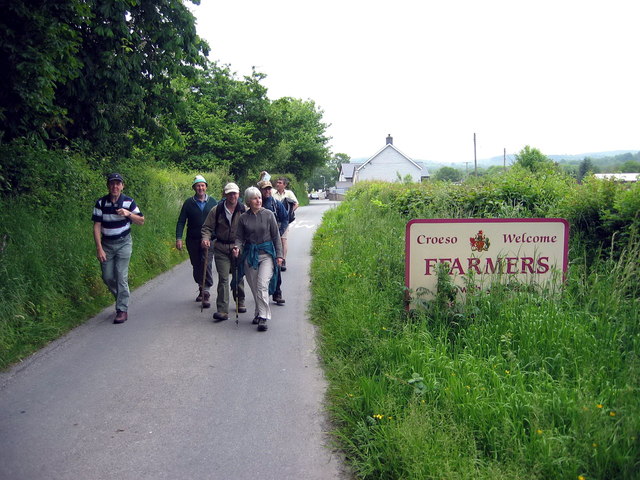
Ffarmers

Ffarmers is a village near Lampeter, in the north of Carmarthenshire, Wales. It was named after the old "Farmers' Arms" public house, which is now closed...
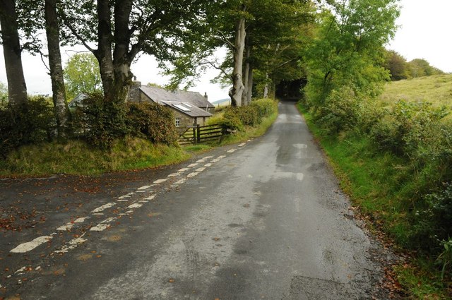
Ffaldybrenin

Ffaldybrenin is a village in Llanycrwys community formed around the parish church in Carmarthenshire, Wales. In the late 19th century Church and State...

Cynwyl Gaeo

Cynwyl Gaeo is a parish and community located in rural Carmarthenshire, Wales, near the boundary with Ceredigion, in the upper Cothi valley about halfway...

Nearby Amenities

Located within 500m of 52.088278,-3.9797508
Llanycrwys
Place: hamlet
Wikidata: Q6661911
Lat/Long: 52.089287/-3.9794127
Direction: S
Generator Method: photovoltaic
Generator Output Electricity: yes
Generator Solar Modules: 5
Generator Source: solar
Generator Type: solar_photovoltaic_panel
Location: roof
Power: generator
Lat/Long: 52.0843566/-3.978953
Direction: S
Generator Method: photovoltaic
Generator Output Electricity: yes
Generator Solar Modules: 4
Generator Source: solar
Generator Type: solar_photovoltaic_panel
Location: roof
Power: generator
Lat/Long: 52.0843582/-3.9788659
Direction: S
Generator Method: photovoltaic
Generator Output Electricity: yes
Generator Solar Modules: 5
Generator Source: solar
Generator Type: solar_photovoltaic_panel
Location: roof
Power: generator
Lat/Long: 52.0843551/-3.9790573
Post Box
Lat/Long: 52.0882406/-3.9797014
The data included in this document is from www.openstreetmap.org. The data is made available under ODbL.

Have you been to Llanycrwys?

Leave your review of Llanycrwys below (or comments, questions and feedback).