Farley
Settlement in Inverness-shire
Scotland
Farley
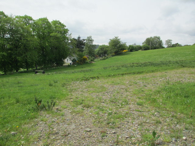
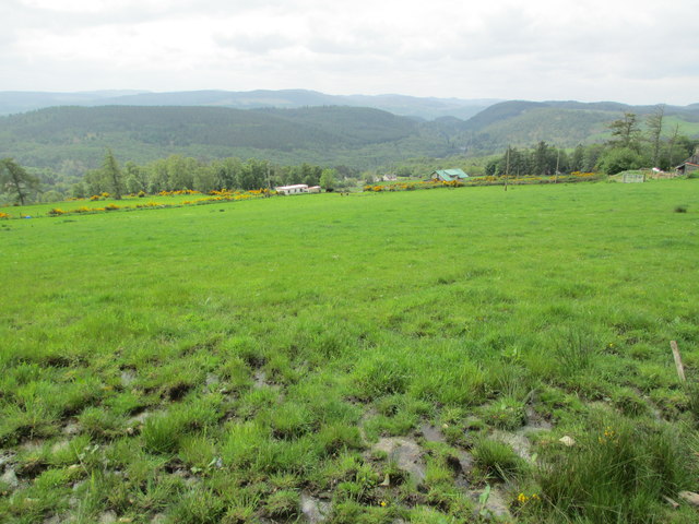
Farley is a small village located in the county of Inverness-shire in the Scottish Highlands. It is situated near the shores of Loch Ness, famous for its mythical monster, and surrounded by stunning mountainous landscapes. The village is known for its picturesque setting and quaint charm, making it a popular destination for tourists looking to explore the Scottish countryside.
Farley is home to a small population of residents who mostly work in agriculture, tourism, and other local industries. The village has a few amenities such as a local pub, a small convenience store, and a post office, providing basic services for its inhabitants and visitors.
The surrounding area offers plenty of outdoor activities for nature lovers, including hiking, fishing, and birdwatching. Visitors can also enjoy boat tours on Loch Ness or explore nearby historic sites such as Urquhart Castle.
Overall, Farley is a peaceful and scenic village that offers a tranquil escape from the hustle and bustle of city life, making it a delightful destination for those seeking a taste of rural Scotland.
If you have any feedback on the listing, please let us know in the comments section below.
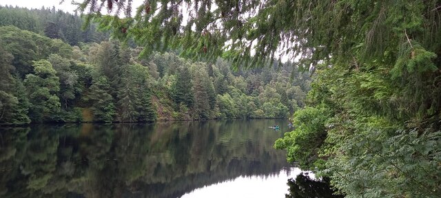
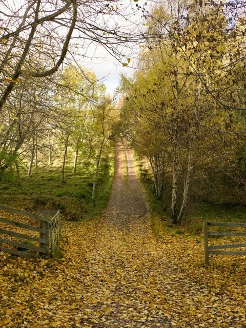
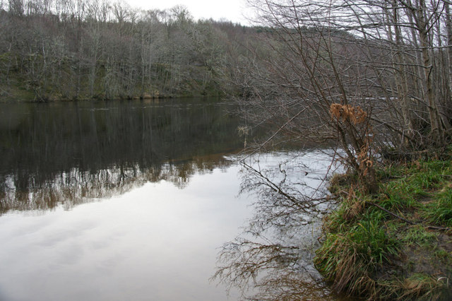
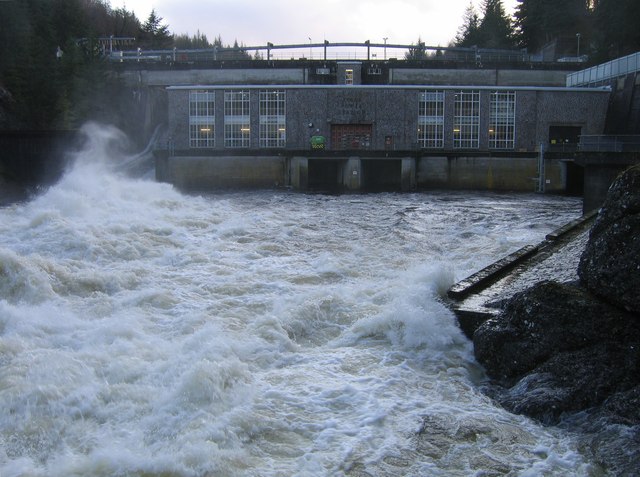
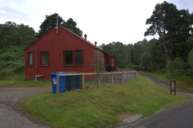
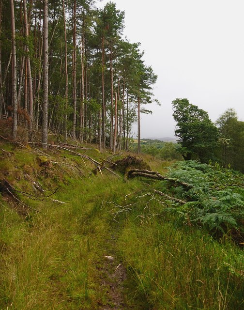
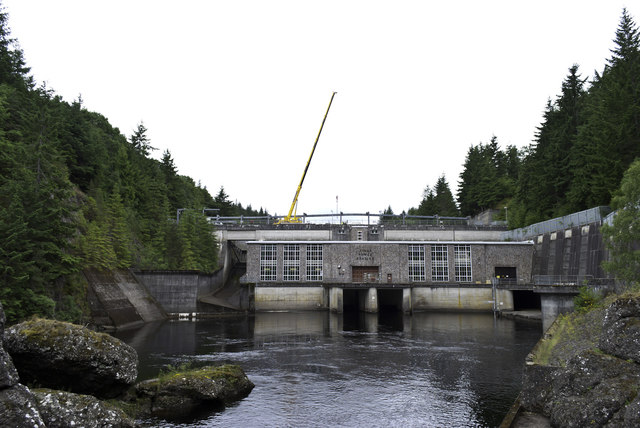
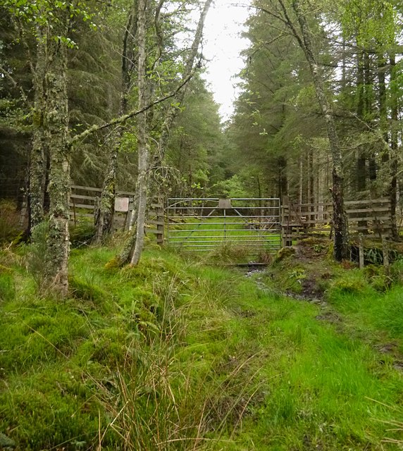
Farley Images
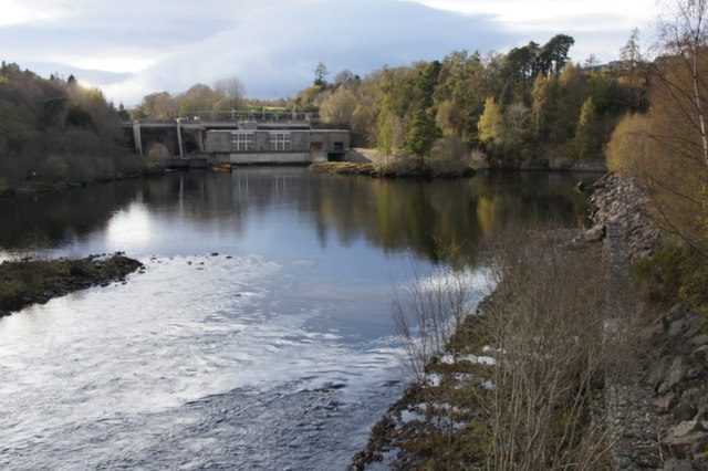
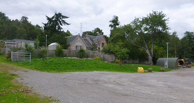
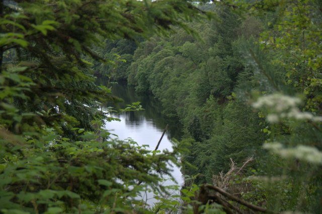
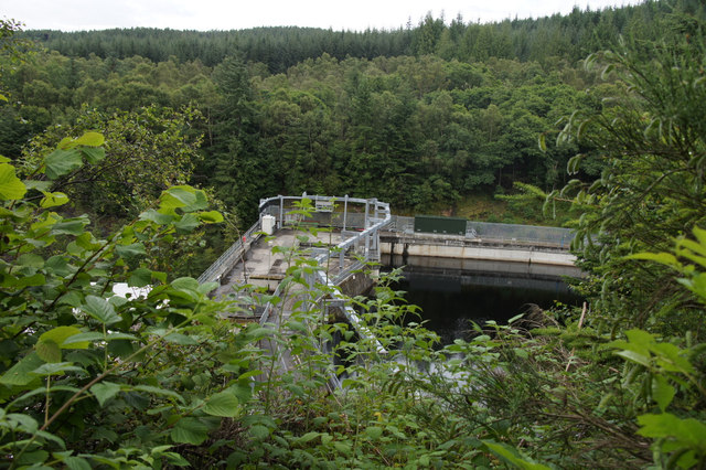
Images are sourced within 2km of 57.468782/-4.5435579 or Grid Reference NH4744. Thanks to Geograph Open Source API. All images are credited.
Farley is located at Grid Ref: NH4744 (Lat: 57.468782, Lng: -4.5435579)
Unitary Authority: Highland
Police Authority: Highlands and Islands
What 3 Words
///escapes.scared.loudness. Near Beauly, Highland
Nearby Locations
Related Wikis
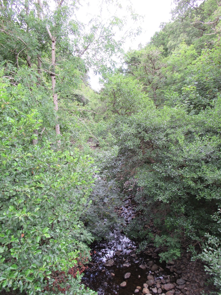
Breakachy Burn
Breakachy Burn (Scottish Gaelic: Allt Bhreacacaidh, meaning "Stream of the Speckled Field") is a mountain stream in the Highland council area of Scotland...

Kilmorack
Kilmorack (Scottish Gaelic: Cill Mhòraig) is a small hamlet in Inverness-shire, in the Highlands of Scotland and now in the Highland Council area. It...

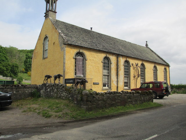
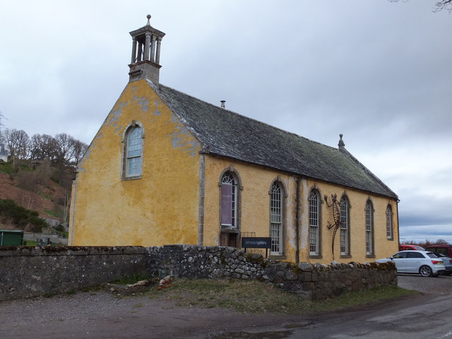
Kilmorack Gallery
Kilmorack Gallery reuses a converted church building for its exhibitions, in a rural location near Beauly in Inverness-shire, Scotland. It was established...
Crask of Aigas
Crask of Aigas (Scottish Gaelic: Àigeis Crasg, meaning "Crossing Place of Aigas") is a small hamlet in the Highland council area of Scotland. It is 4.3...
Nearby Amenities
Located within 500m of 57.468782,-4.5435579Have you been to Farley?
Leave your review of Farley below (or comments, questions and feedback).