Bracobrae
Settlement in Banffshire
Scotland
Bracobrae
Bracobrae is a small village located in the historic county of Banffshire, Scotland. Situated on the northeastern coast of the country, it lies approximately 6 miles northwest of the town of Banff. The village is nestled amidst picturesque countryside, boasting stunning views of the rugged coastline and the North Sea.
Bracobrae is renowned for its natural beauty and tranquility, attracting visitors seeking a peaceful retreat. The village is characterized by its charming cottages and traditional architecture, which add to its quaint and idyllic atmosphere. Surrounded by lush green fields and rolling hills, Bracobrae offers ample opportunities for outdoor activities such as hiking, cycling, and birdwatching.
While the village is relatively small, it is home to a close-knit community that takes pride in preserving its heritage and traditions. Bracobrae has a local primary school, serving the educational needs of the village's children, and a small post office that caters to the basic needs of the community.
Although Bracobrae is primarily a residential area, the nearby town of Banff provides residents with access to a wider range of amenities, including shops, restaurants, and healthcare facilities. Additionally, the coastal location of Bracobrae offers residents and visitors alike the opportunity to enjoy fresh seafood at local eateries, as the area is known for its fishing heritage.
In summary, Bracobrae is a charming village in Banffshire, Scotland, that offers a tranquil setting, natural beauty, and a close-knit community. It is an ideal destination for those seeking a peaceful escape amidst stunning coastal scenery.
If you have any feedback on the listing, please let us know in the comments section below.
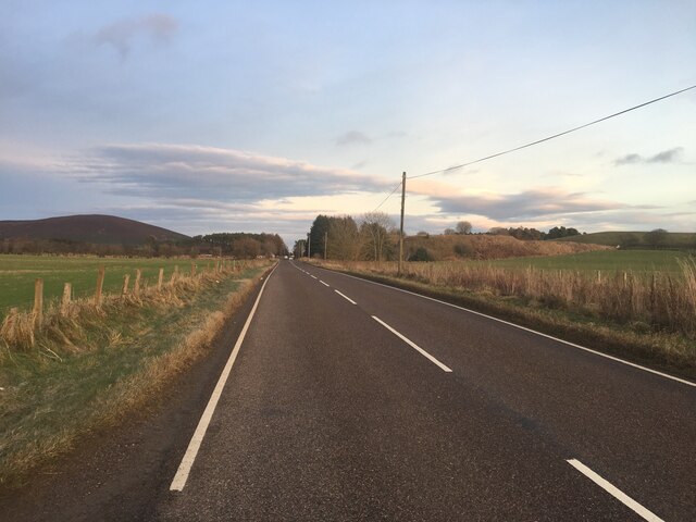
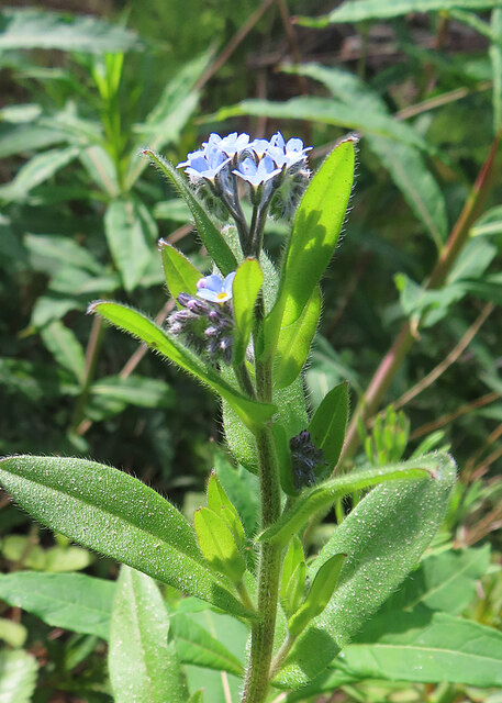
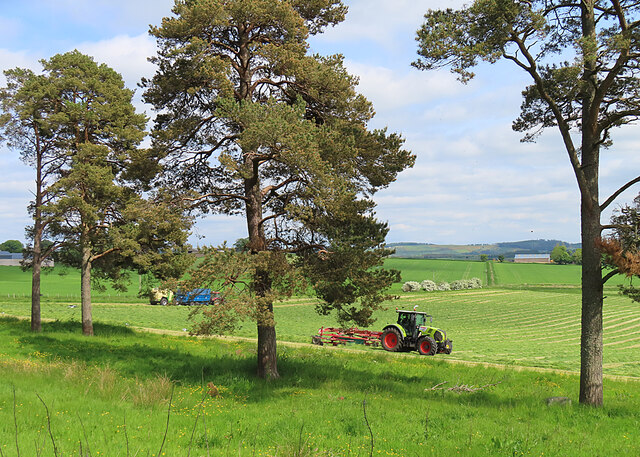
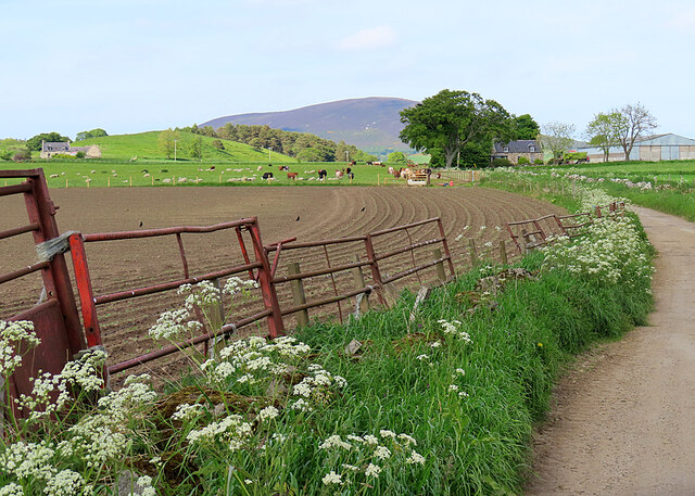
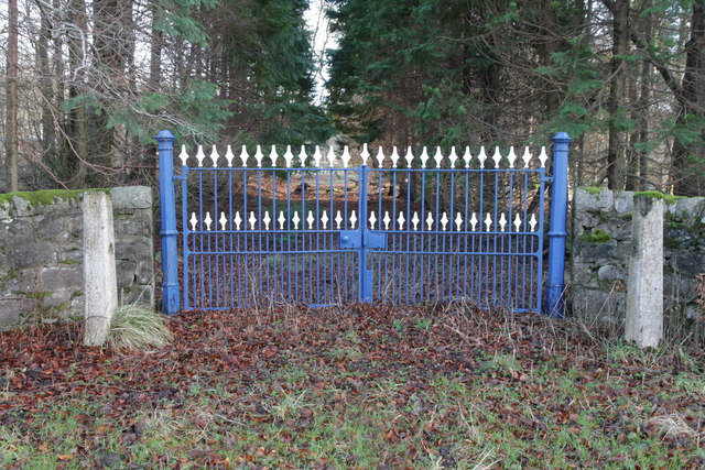
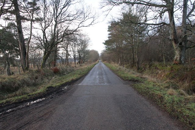
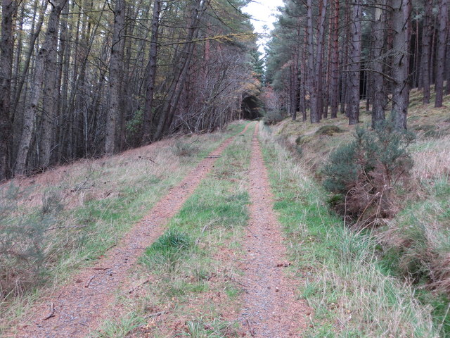
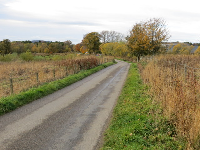
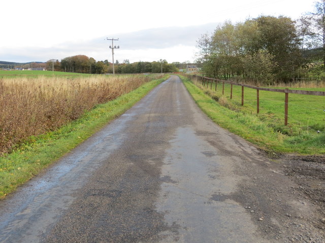
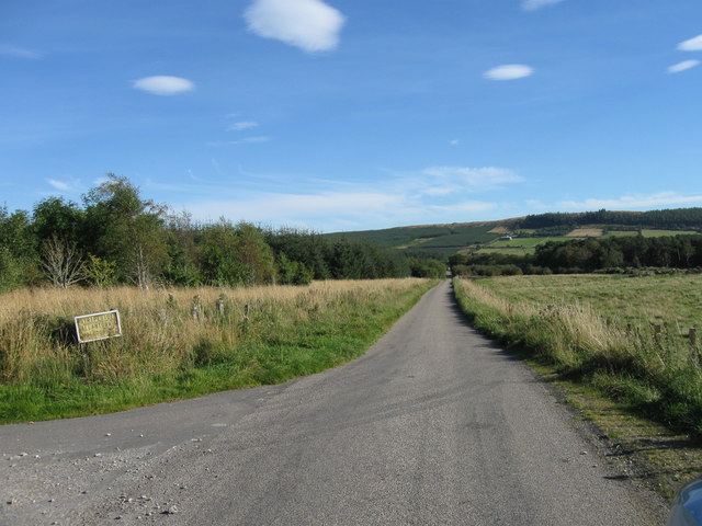
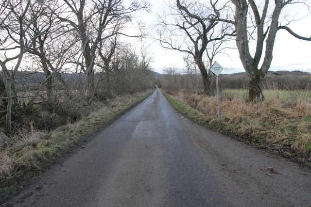
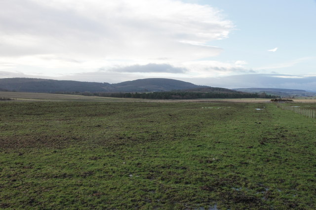
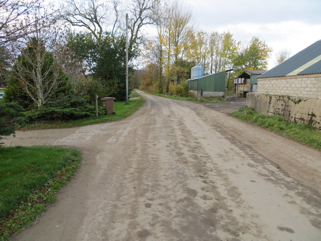
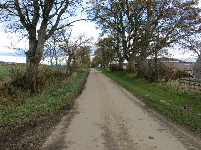
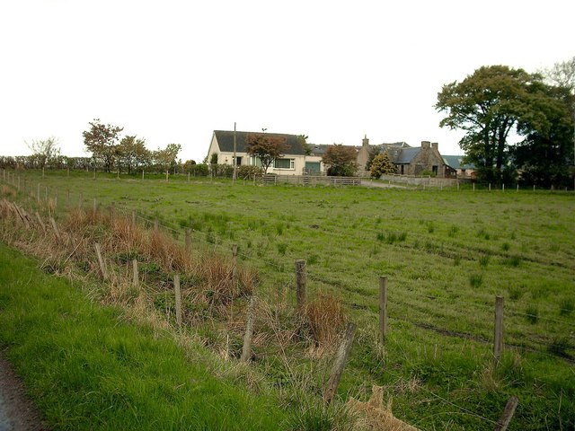
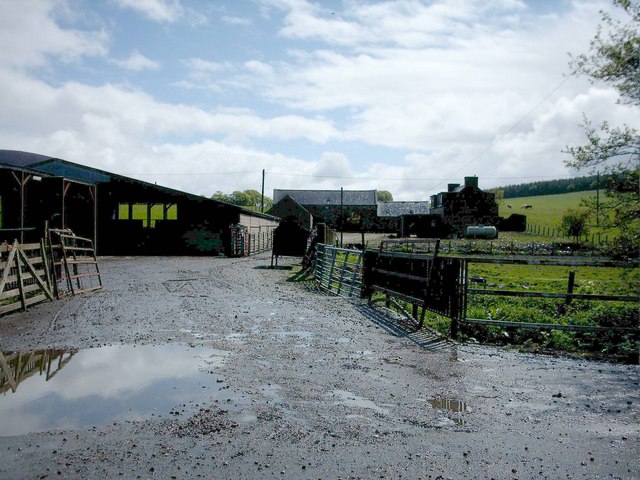
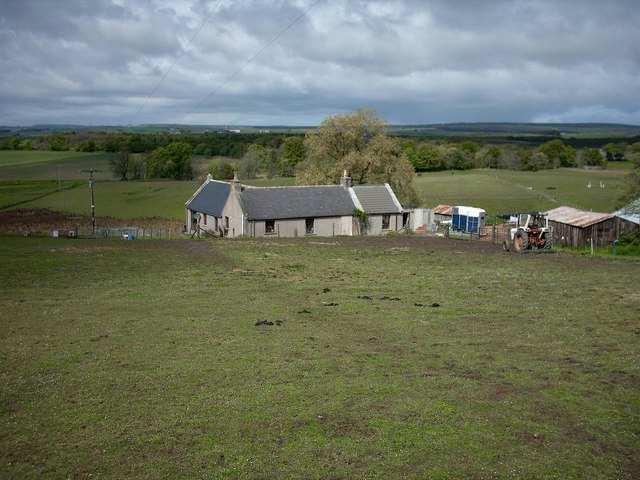
Bracobrae Images
Images are sourced within 2km of 57.568034/-2.8231019 or Grid Reference NJ5053. Thanks to Geograph Open Source API. All images are credited.

Bracobrae is located at Grid Ref: NJ5053 (Lat: 57.568034, Lng: -2.8231019)
Unitary Authority: Moray
Police Authority: North East
What 3 Words
///salmon.primed.shunning. Near Keith, Moray
Nearby Locations
Related Wikis

Farmtown
Farmtown is a village in the Moray council area of Scotland. Farmtown lies on the junction of the A95 and B9117 roads east of the town of Keith.

Grange, Moray
Grange is a parish in the Scottish county of Banffshire that dates back to a royal charter granting the lands to the abbots and monks of Kinloss in 1196...

Millegin railway station
Millegin railway station, Millagan railway station or later Millegin Siding was briefly an intermediate stop situated on what became the Great North of...

Grange railway station (Scotland)
Grange railway station was a railway station in the parish of Grange, historically in Banffshire (although currently in Moray). Opened in 1856 by the...
Knock railway station (Scotland)
Knock railway station was an intermediate stop situated on the Great North of Scotland Railway (GNoSR) line from Grange and Cairnie Junction to Tillynaught...

Cairnie Junction railway station
Cairnie Junction railway station served the village of Cairnie, Aberdeenshire, Scotland from 1898 to 1968 on the Great North of Scotland Railway. ��2...
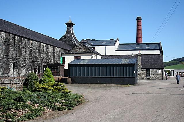
Knockdhu distillery
Knockdhu distillery is a whisky distillery situated in Knock, Banffshire and owned by Inver House Distillers Limited. == History == The distillery was...

Glenbarry railway station
Glenbarry railway station, previously known as Barry was an intermediate stop with a passing loop situated on the Great North of Scotland Railway (GNoSR...
Nearby Amenities
Located within 500m of 57.568034,-2.8231019Have you been to Bracobrae?
Leave your review of Bracobrae below (or comments, questions and feedback).