Bradley
Settlement in Cheshire
England
Bradley
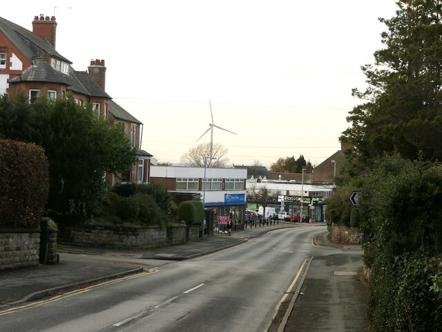
Bradley is a small village located in the county of Cheshire, England. Situated approximately five miles south of the town of Congleton, Bradley is surrounded by picturesque countryside, offering residents and visitors a tranquil and scenic environment.
The village is home to a tight-knit community, with a population of around 1,200 people. The area is predominantly residential, characterized by charming cottages and traditional houses. The village center features a few local amenities, including a post office, convenience store, and a local pub, which serves as a gathering place for residents.
Bradley is known for its rich history, with evidence of human settlement in the area dating back to the Bronze Age. The village is blessed with a beautiful church, St. Mary's, which dates back to the 14th century and boasts stunning architectural features.
Nature enthusiasts will appreciate the village's proximity to the Peak District National Park, which offers a range of outdoor activities such as hiking, cycling, and wildlife spotting. The area is also home to several scenic walking trails, providing opportunities to explore the surrounding countryside.
Despite its small size, Bradley has a strong sense of community spirit, with various social events and activities organized throughout the year. These include summer fairs, Christmas markets, and community festivals, fostering a sense of belonging and camaraderie among residents.
Overall, Bradley, Cheshire offers a peaceful and idyllic setting for those seeking a quiet village lifestyle, combined with easy access to the natural beauty of the surrounding countryside.
If you have any feedback on the listing, please let us know in the comments section below.
Bradley Images
Images are sourced within 2km of 53.288383/-2.7034151 or Grid Reference SJ5377. Thanks to Geograph Open Source API. All images are credited.
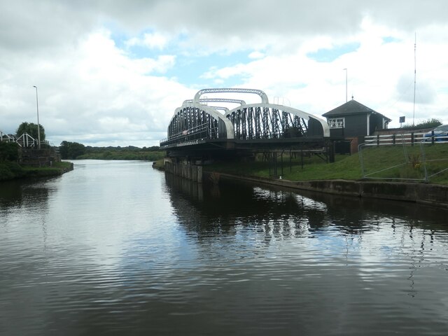
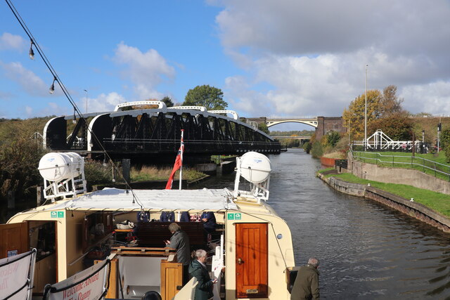
![Farmland between Frodsham Cut and the Weston Canal The Frodhsam Cut [marked by an embankment] is the original line of the Weaver Navigation. It was replaced by the Weston Canal in 1827, which created a new main line to Weston Point.](https://s3.geograph.org.uk/geophotos/06/93/73/6937359_d37fdf35.jpg)
![Flooded land, west of Beckett's Wood On the east bank of the Weston Canal [Weaver Navigation].](https://s1.geograph.org.uk/geophotos/06/93/73/6937365_8466a8aa.jpg)
![Frodsham Cut, Weaver Navigation The sign on the dead tree says the cut is no longer navigable. It is the original route of the Weaver Navigation, but was replaced by the Weston Canal [to Weston Point] in 1827.](https://s1.geograph.org.uk/geophotos/06/93/80/6938029_b9fc3827.jpg)
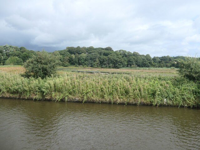
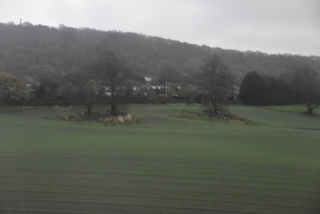
![Farmland west of Delf Wood On the north-east bank of the River Weaver [Weaver Navigation].](https://s0.geograph.org.uk/geophotos/06/93/80/6938032_223caaee.jpg)
![Flooded farmland with geese, south of Delf Wood Presumably the pond is a flash, caused by subsidence. On the north-east bank of the River Weaver [Weaver Navigation].](https://s1.geograph.org.uk/geophotos/06/93/80/6938037_2fb3f1d0.jpg)
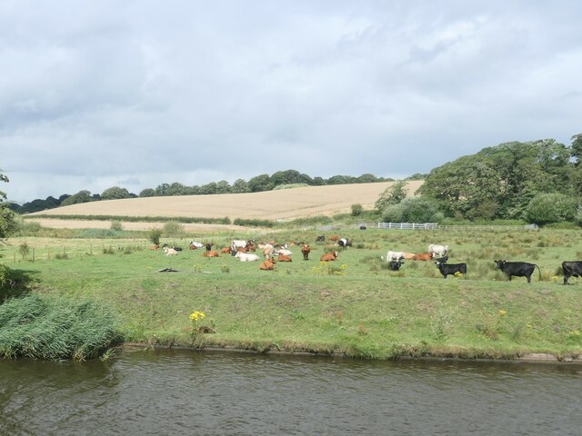
![Geese near Bradley Orchard Mainly Canada geese. Om the south-west bank of the River Weaver [Weaver Navigation].](https://s2.geograph.org.uk/geophotos/06/93/80/6938038_d9a9df57.jpg)
Bradley is located at Grid Ref: SJ5377 (Lat: 53.288383, Lng: -2.7034151)
Unitary Authority: Cheshire West and Chester
Police Authority: Cheshire
What 3 Words
///fracture.snowballs.bookings. Near Frodsham, Cheshire
Nearby Locations
Related Wikis

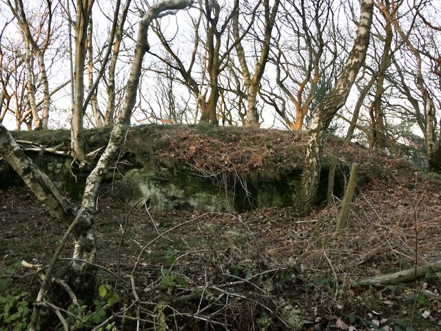
Bradley hill fort
Bradley hill fort is an Iron Age hill fort. Hill forts were fortified hill-tops, used as settlements or temporary refuges, constructed across Britain during...
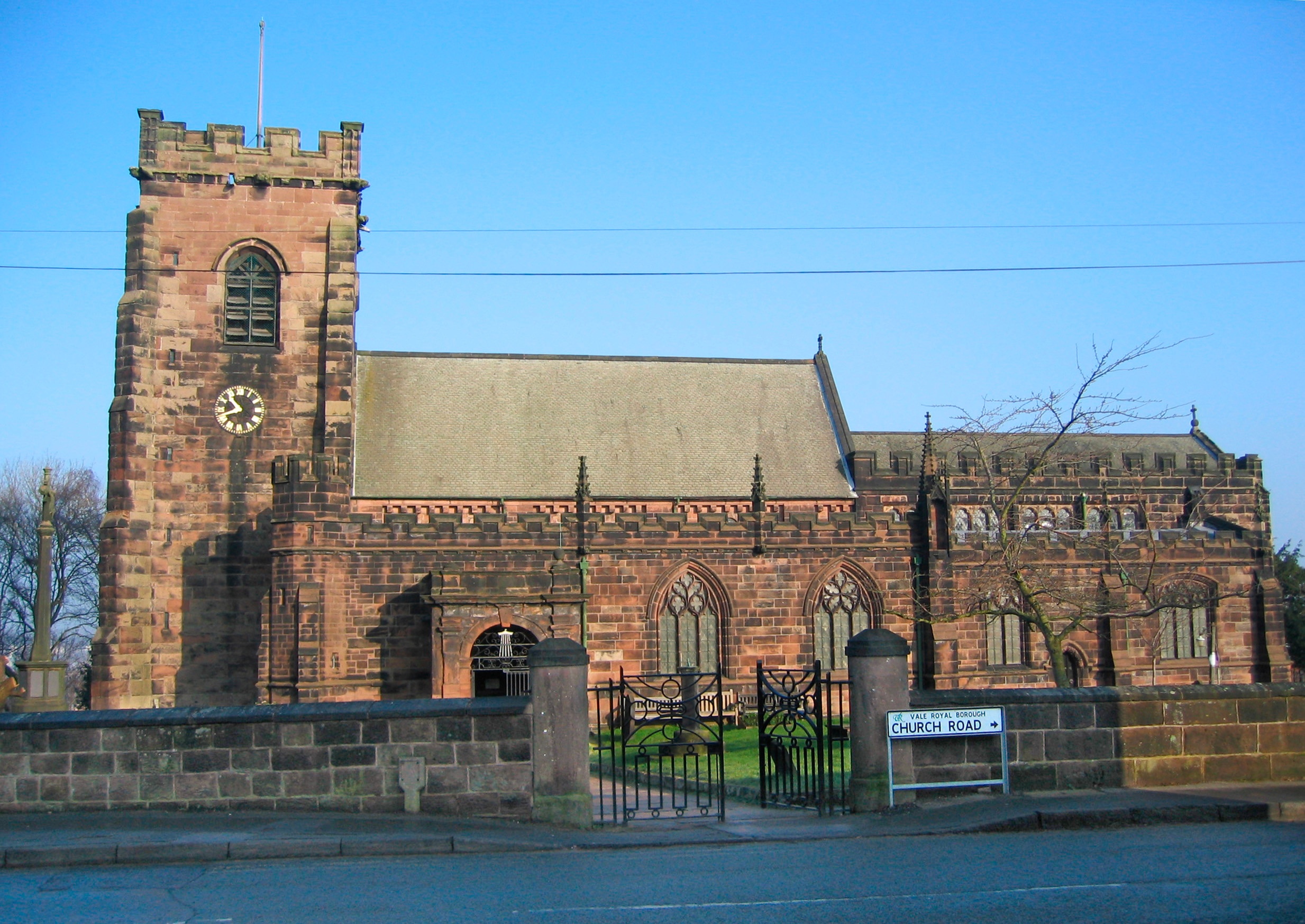
St Laurence's Church, Frodsham
St Laurence's Church is in Church Road, Frodsham, Cheshire, England. The church stands, not in the centre of the town, but in the elevated area of Overton...

Frodsham railway station
Frodsham railway station serves the town of Frodsham, Cheshire, England. The station is managed by Transport for Wales. It was opened along with the line...

Frodsham
Frodsham is a market town, civil parish, and electoral ward in the unitary authority of Cheshire West and Chester and the ceremonial county of Cheshire...
Frodsham School
Frodsham School was a designated specialist science and technology college in the town of Frodsham, Cheshire, England. The school closed in the summer...

Bear's Paw Hotel, Frodsham
The Bear's Paw Hotel is in Main Street, Frodsham, Cheshire, England. It is recorded in the National Heritage List for England as a designated Grade II...
Daresbury (Mersey flat)
Daresbury was a Mersey flat that is now in a ruinous condition. It lies, partly submerged, in Sutton Lock on River Weaver in Cheshire, England. The lock...
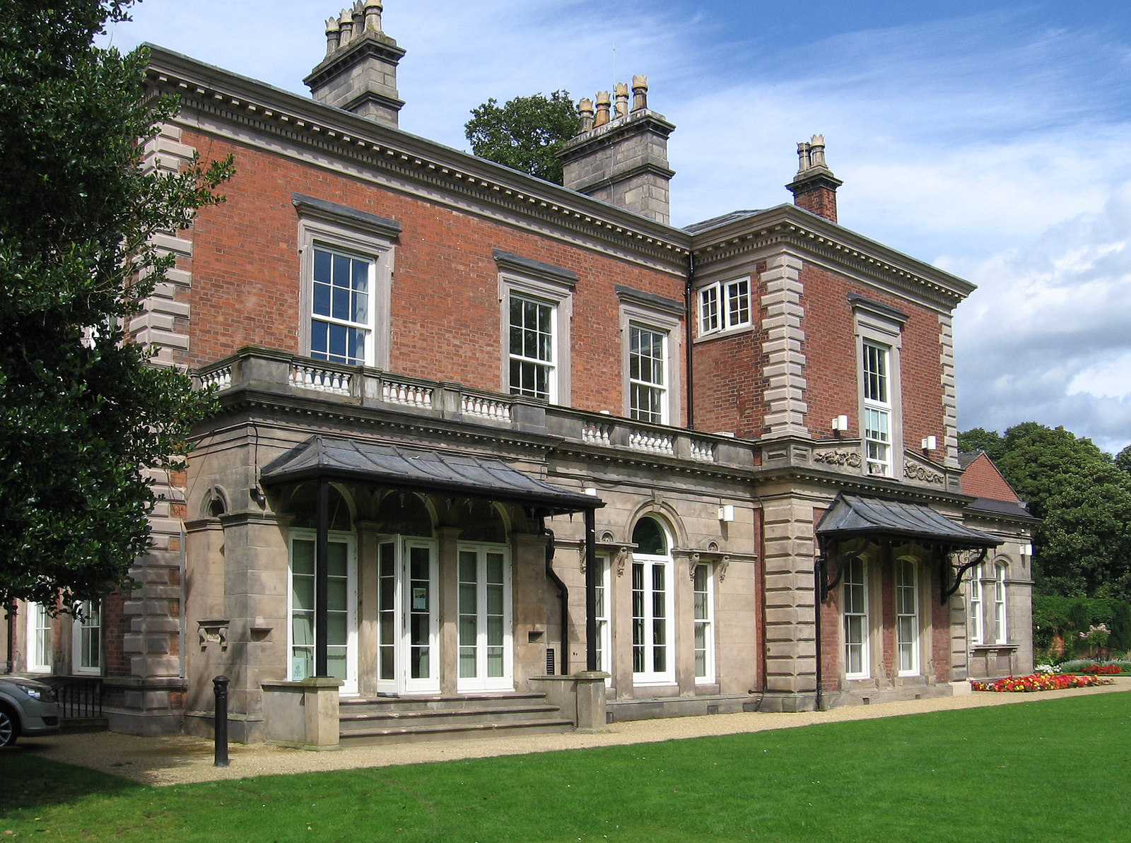
Castle Park House
Castle Park House is a former country house surrounded by extensive grounds in the market town of Frodsham in Cheshire, England. It is reputedly built...
Related Videos

Walking Tour - Frodsham, The Market and Little Caves 【4K HDR】 🚶 🇬🇧
frodsham #walkingtour #caves ✔️ Please help the channel here! https://www.paypal.me/steviesvlogs ✔️ Why not buy me a ...

Overton Hill, Cheshire
biblequote #hiking #hikeuk #hike #walkinguk #walkuk #walk #walking #backpacking #christian #outdoors #outdoor #wanderlust ...

Finally Made It | Walk From Ellesmere Port To Frodsham
ComeWalkWithMe #Frodsham #EllesmerePort #Walk #Walks #Walking #Hike #Hikes #Hiking #England #Mereseyside ...
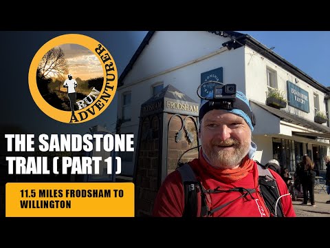
The Sandstone Trail Part 1 - Frodsham to Willington | Visit Cheshire for a 3 day Walking Holiday
Today we're going to explore the Sandstone Trail in Cheshire, it's one of the oldest and most popular middle distance walks in the ...
Nearby Amenities
Located within 500m of 53.288383,-2.7034151Have you been to Bradley?
Leave your review of Bradley below (or comments, questions and feedback).