Belle Isle
Settlement in Huntingdonshire Huntingdonshire
England
Belle Isle
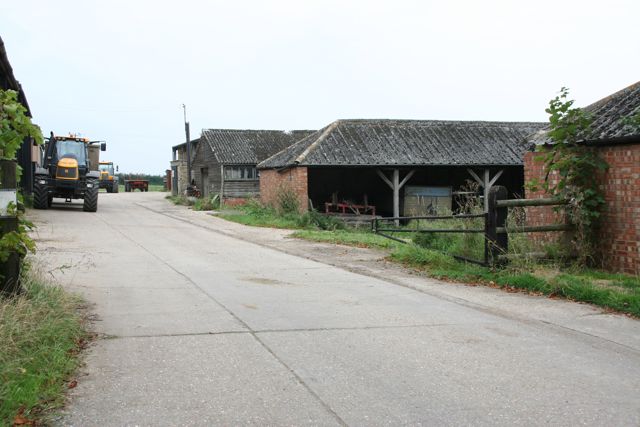
Belle Isle is a quaint and picturesque village located in Huntingdonshire, a historic county in the east of England. Situated on the banks of the Great Ouse River, this idyllic village offers a serene and tranquil setting for its residents and visitors alike.
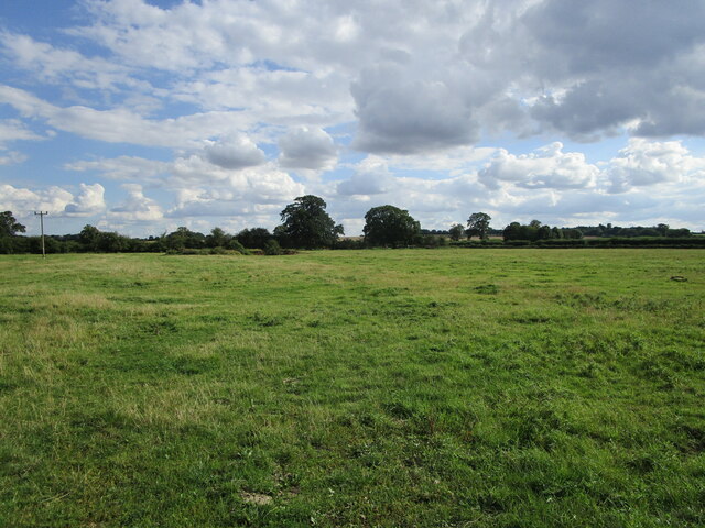
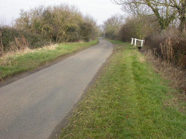
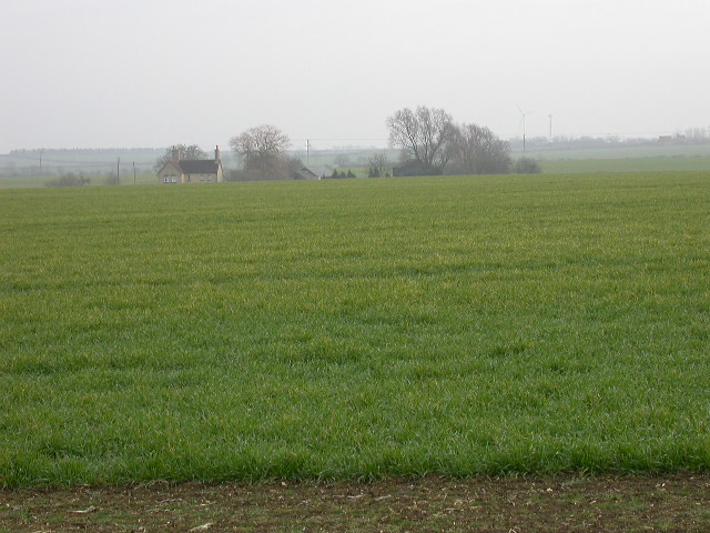
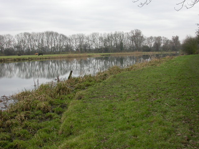
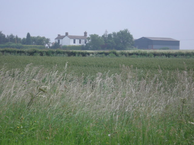
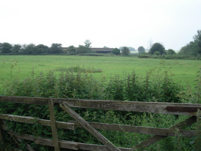
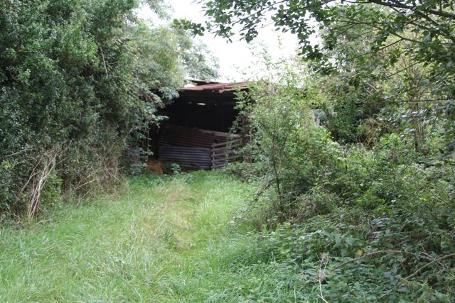
The village is known for its stunning natural beauty, with lush green fields, charming cottages, and meandering waterways. The Great Ouse River, which flows through Belle Isle, provides a scenic backdrop and offers opportunities for boating, fishing, and leisurely walks along its banks.
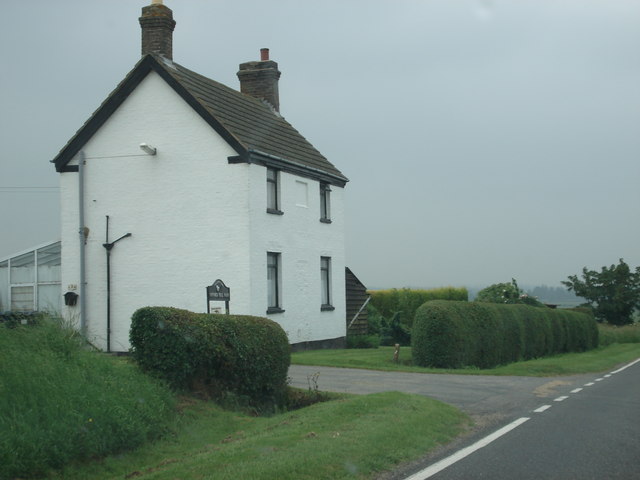
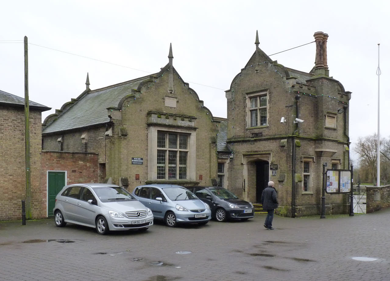
Belle Isle is home to a tight-knit community that values its heritage and traditions. The village retains much of its historical charm, with several well-preserved buildings dating back to the 18th and 19th centuries. The local church, St. Mary's, is a notable example of architectural beauty and offers a glimpse into the village's past.
Despite its small size, Belle Isle boasts a range of amenities to cater to the needs of its residents. These include a village hall, a primary school, and a few local shops and pubs. The village also benefits from its proximity to nearby towns and cities, with convenient access to larger retail centers and transportation links.
In summary, Belle Isle is a captivating village in Huntingdonshire, offering a peaceful retreat for those seeking a slower pace of life. With its stunning natural surroundings, rich history, and strong sense of community, Belle Isle is a hidden gem waiting to be explored.
If you have any feedback on the listing, please let us know in the comments section below.
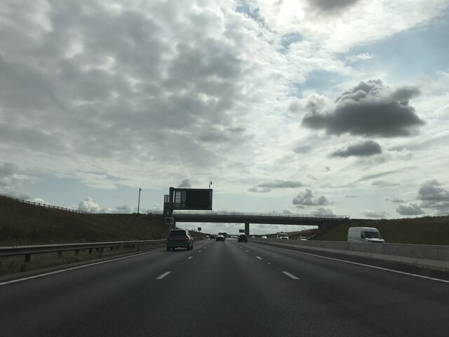
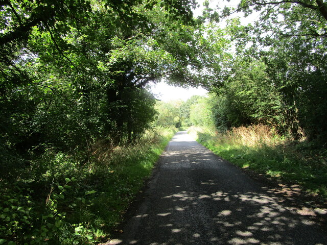
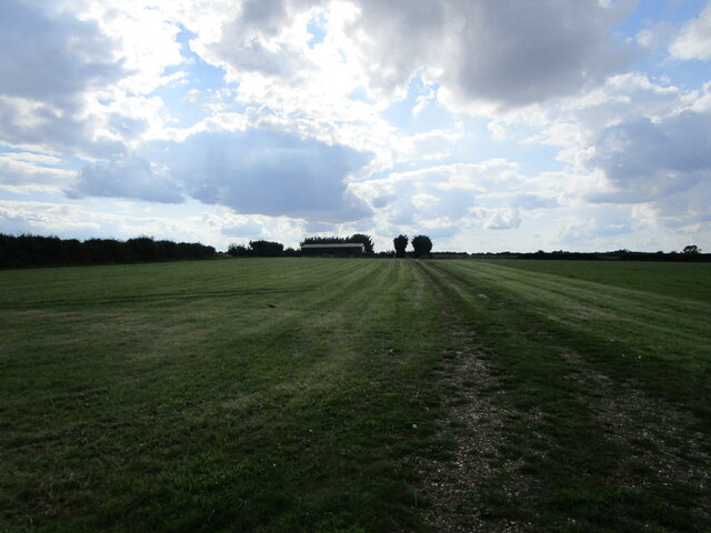
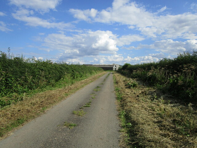
Belle Isle Images
Images are sourced within 2km of 52.314014/-0.18356856 or Grid Reference TL2369. Thanks to Geograph Open Source API. All images are credited.
Belle Isle is located at Grid Ref: TL2369 (Lat: 52.314014, Lng: -0.18356856)
Administrative County: Cambridgeshire
District: Huntingdonshire
Police Authority: Cambridgeshire
What 3 Words
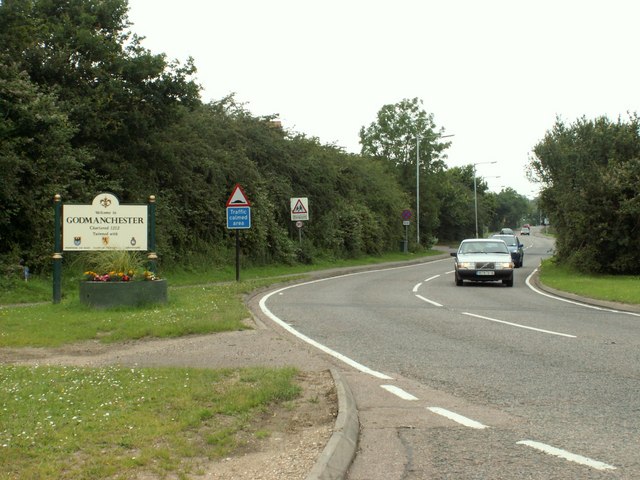
///creatures.newlyweds.goodness. Near Godmanchester, Cambridgeshire
Nearby Locations
Related Wikis
Operation Epsilon
Operation Epsilon was the codename of a program in which Allied forces near the end of World War II detained ten German scientists who were thought to...
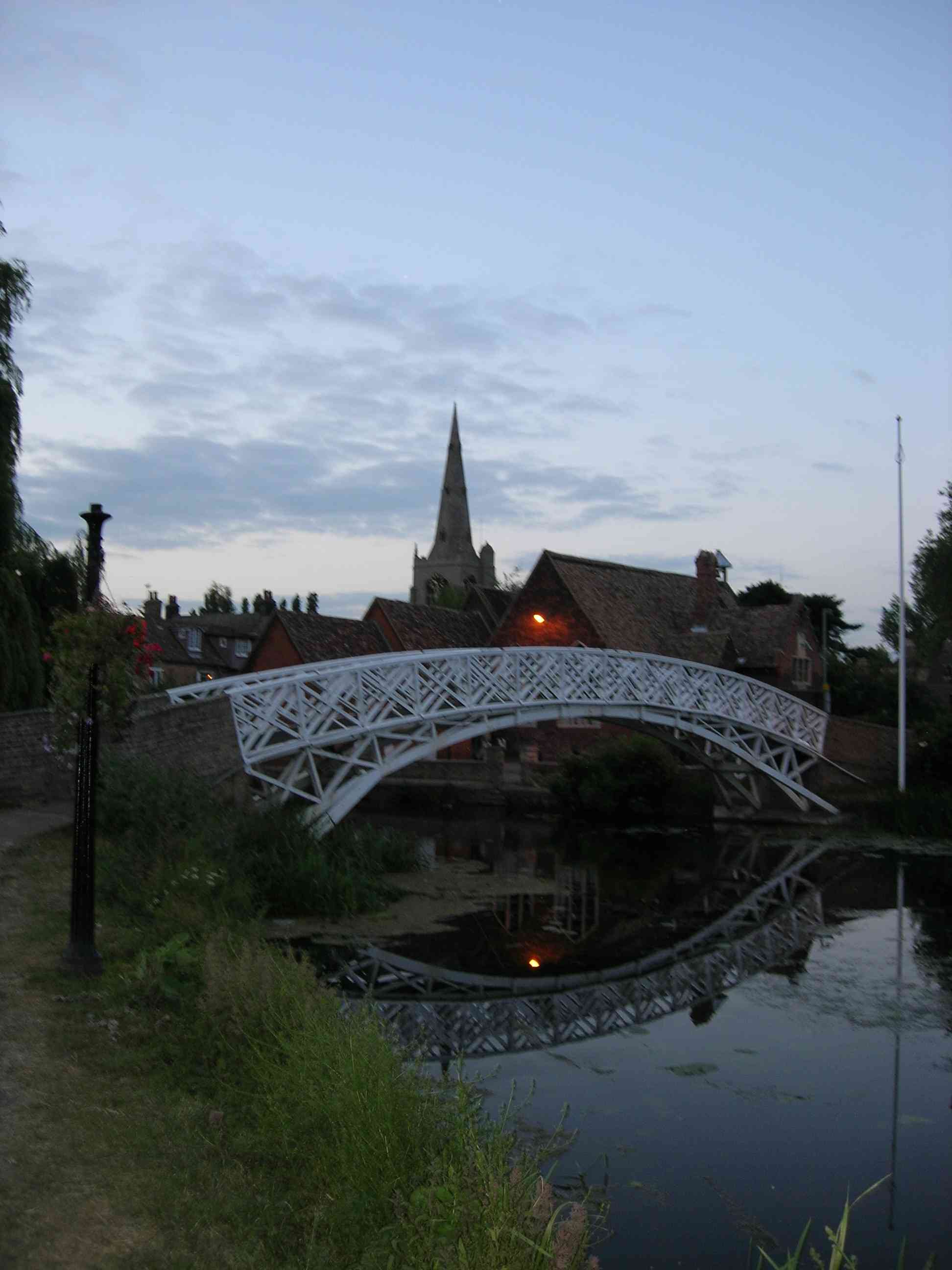
Godmanchester Chinese Bridge
Godmanchester Chinese Bridge is a Grade II Listed building and landmark of the town of Godmanchester, Huntingdonshire (now administered as part of Cambridgeshire...
Godmanchester Town Hall
Godmanchester Town Hall is a municipal building in The Causeway, Godmanchester, Cambridgeshire, England. The town hall, which was the meeting place of...

Huntingdon and Godmanchester
Huntingdon and Godmanchester was a municipal borough in Huntingdonshire (and then Huntingdon and Peterborough) from 1961 to 1974.It was formed on 1 April...

Portholme
Portholme (or Port Holme on Ordnance Survey mapping) is a 106-hectare (260-acre) biological Site of Special Scientific Interest in the Parish of Brampton...

Godmanchester
Godmanchester ( GOD-mən-ches-tər) is a town and civil parish in the Huntingdonshire district of Cambridgeshire, England. It is separated from Huntingdon...
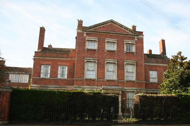
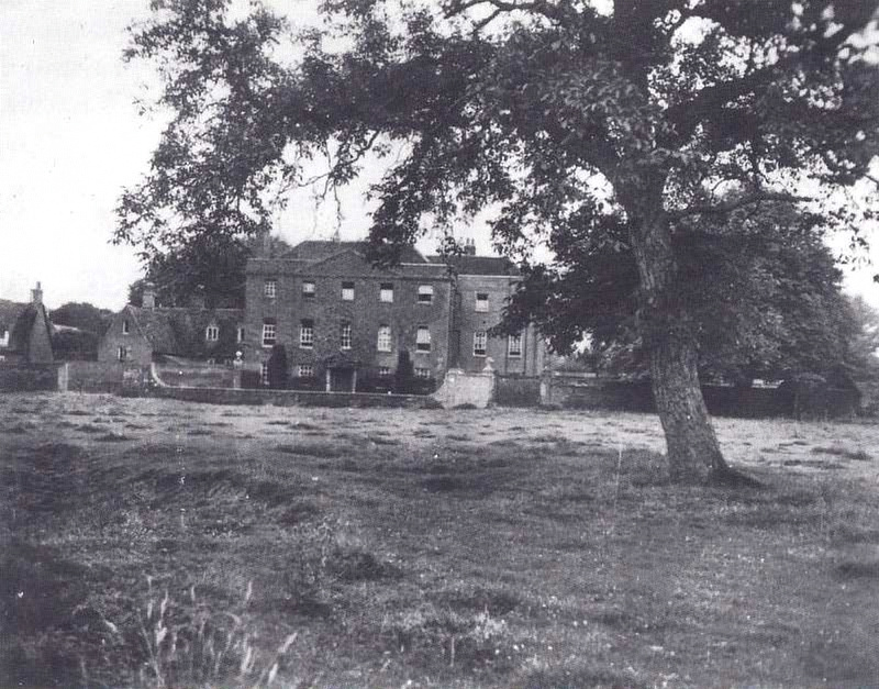
Island Hall
Island Hall is a Grade II* listed Georgian mansion located near the River Great Ouse in Godmanchester, Cambridgeshire, England. == History == Named after...

Church of St Mary the Virgin, Godmanchester
The Church of St Mary the Virgin is a Church of England parish church in Godmanchester, Cambridgeshire. The church is a grade I listed building with its...
Nearby Amenities
Located within 500m of 52.314014,-0.18356856Have you been to Belle Isle?
Leave your review of Belle Isle below (or comments, questions and feedback).