Wily Sikes

Coastal Marsh, Saltings in Northumberland

England

Wily Sikes

Coal mine spoil above the Bateinghope Burn Remains of early to mid 19th century coal mining activity above the Bateinghope Burn.

This photograph was taken during the Coronavirus (COVID-19) pandemic of 2020.
Coal mine spoil above the Bateinghope Burn Credit: James T M Towill

The requested URL returned error: 429 Too Many Requests

If you have any feedback on the listing, please let us know in the comments section below.
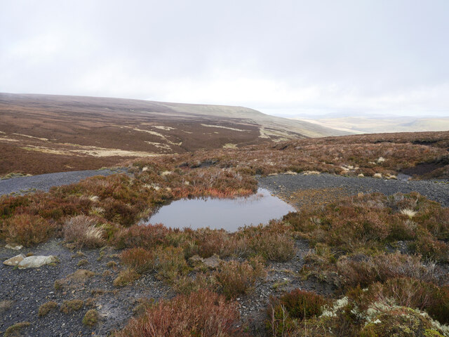
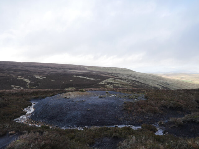
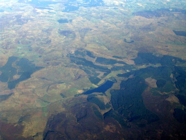
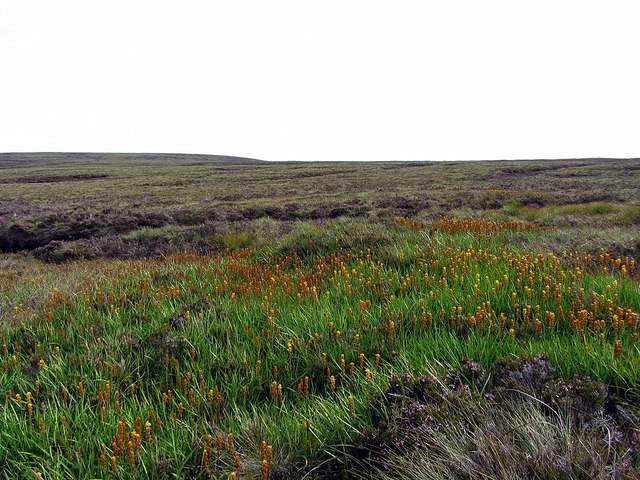
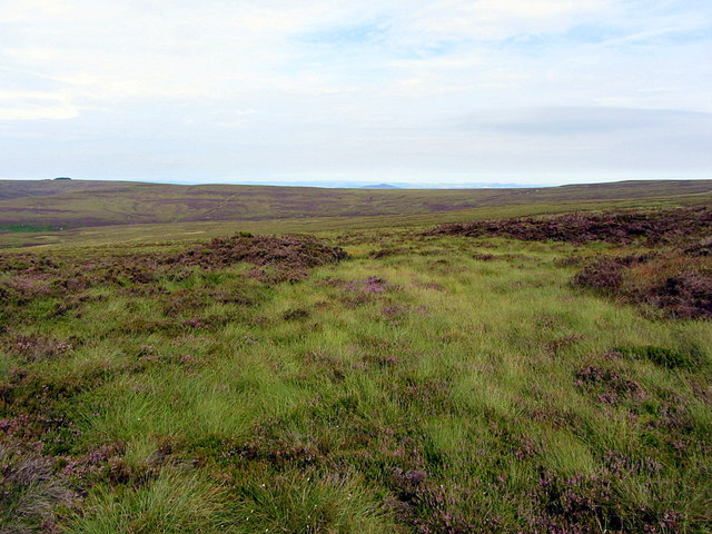
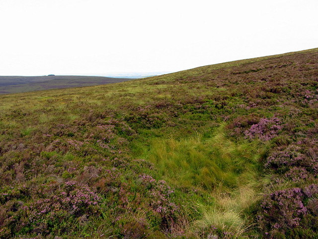
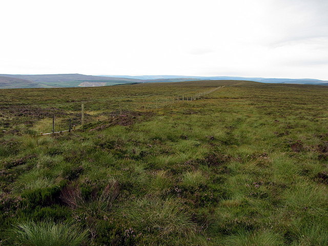
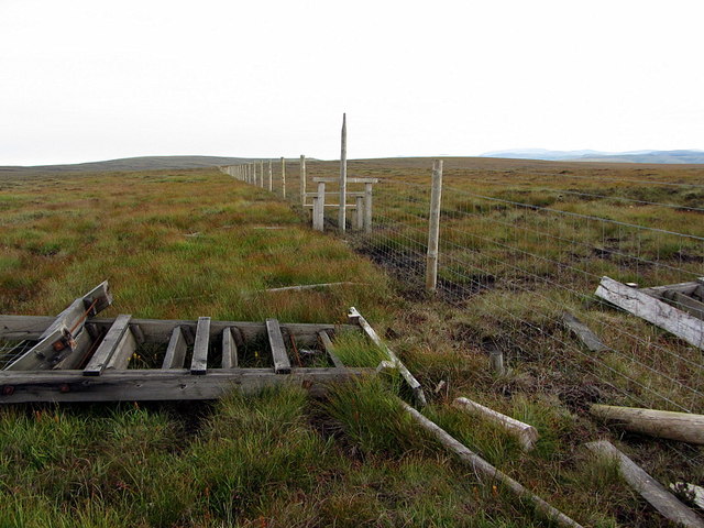
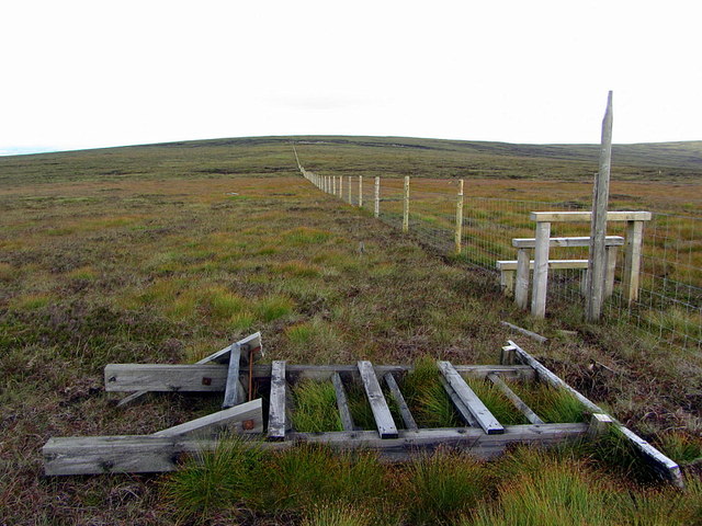
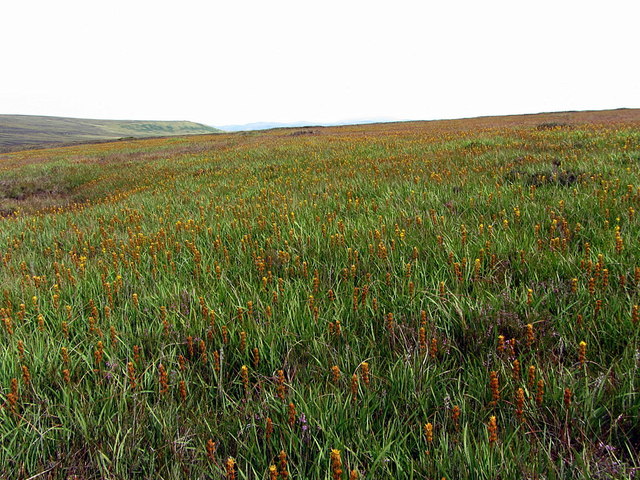
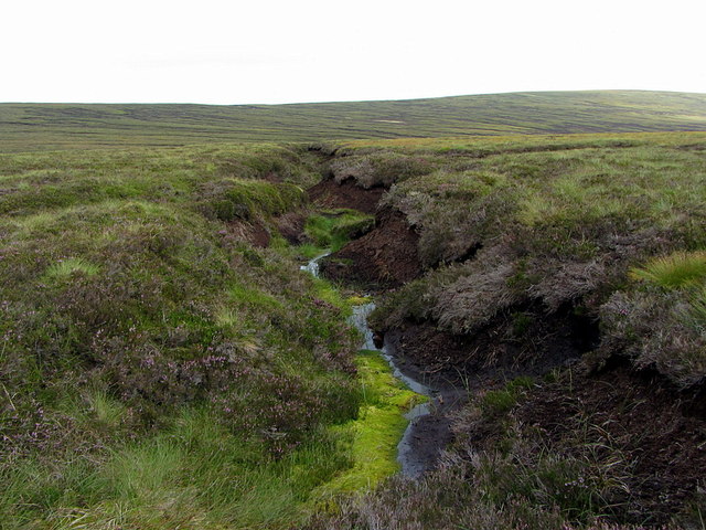
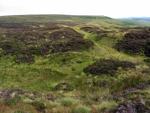
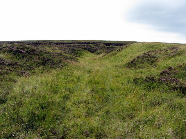
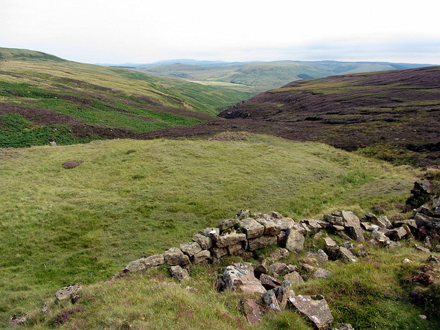
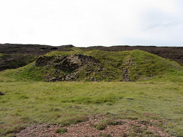
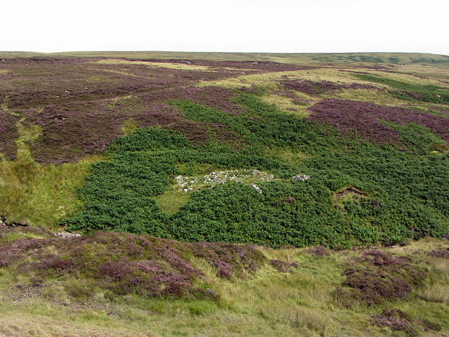
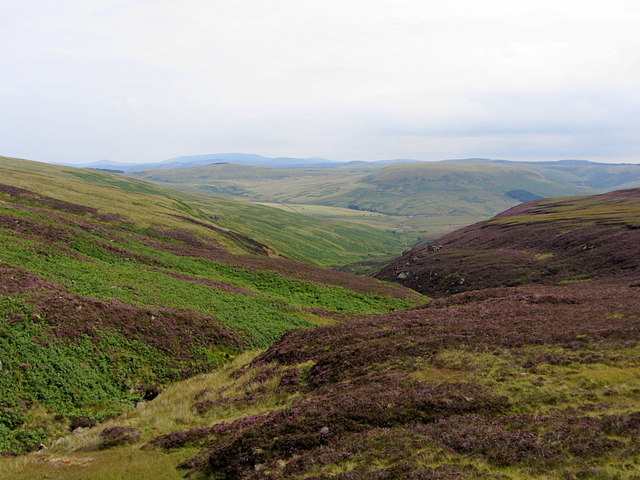
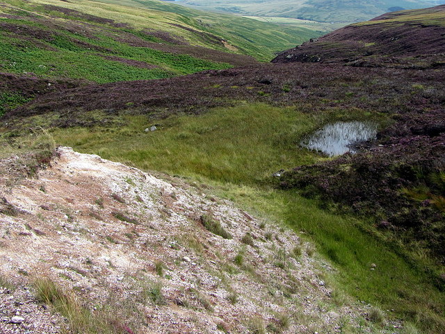
Wily Sikes Images

Images are sourced within 2km of 55.307204/-2.5025513 or Grid Reference NT6801. Thanks to Geograph Open Source API. All images are credited.

Coal mine spoil above the Bateinghope Burn Remains of early to mid 19th century coal mining activity above the Bateinghope Burn.

This photograph was taken during the Coronavirus (COVID-19) pandemic of 2020.
Coal mine spoil above the Bateinghope Burn
Remains of early to mid 19th century coal mining activity above the Bateinghope Burn. This photograph was taken during the Coronavirus (COVID-19) pandemic of 2020.
Remains of coal mining activity above the Bateinghope Burn The remains of coal mining activity above the Bateinghope Burn as clouds roll overhead threatening rain.  The route of the access track from Carter Bar to this site which included lime kilns and clay workings as well as coal mines can be noted in the middle distance.

This photograph was taken during the Coronavirus (COVID-19) pandemic of 2020.
Remains of coal mining activity above the Bateinghope Burn
The remains of coal mining activity above the Bateinghope Burn as clouds roll overhead threatening rain. The route of the access track from Carter Bar to this site which included lime kilns and clay workings as well as coal mines can be noted in the middle distance. This photograph was taken during the Coronavirus (COVID-19) pandemic of 2020.
Catcleugh Reservoir from the air Viewed from a Prague bound flight from Edinburgh.
Catcleugh Reservoir from the air
Viewed from a Prague bound flight from Edinburgh.
Bog asphodel (Narthecium ossifragum), Big Flow The bright green leaves of Bog asphodel contrast with the dull moorland grasses and low heather. This normally boggy area of Kielderhead Moor is shown on maps as Big Flow.
Bog asphodel (Narthecium ossifragum), Big Flow
The bright green leaves of Bog asphodel contrast with the dull moorland grasses and low heather. This normally boggy area of Kielderhead Moor is shown on maps as Big Flow.
Blanket bog of Big Flow, Kielderhead Moor
Sink hole, Limestone Knowe The presence of sink holes shows that the rock below the blanket bog has changed from sandstone to limestone. The hill is aptly named.
Sink hole, Limestone Knowe
The presence of sink holes shows that the rock below the blanket bog has changed from sandstone to limestone. The hill is aptly named.
Fence south of Limestone Knowe
Fence and access steps at Limestone Knowe The fence, first photographed here in 2006 <a href="https://www.geograph.org.uk/photo/290445">NT6701 : Fence and access steps at Limestone Knowe</a>, has been recently renewed and the access steps replaced by a stile. The unusually high, moorland fence, is designed to restrict the movement of the wild goat herd that inhabits this area.
Fence and access steps at Limestone Knowe
The fence, first photographed here in 2006 NT6701 : Fence and access steps at Limestone Knowe, has been recently renewed and the access steps replaced by a stile. The unusually high, moorland fence, is designed to restrict the movement of the wild goat herd that inhabits this area.
Fence south-east of Carter Fell
Bog asphodel (Narthecium ossifragum), Whitelee Moor
Eroding peat channel, Whitelee Moor View towards Border Ridge at Carter Fell.
Eroding peat channel, Whitelee Moor
View towards Border Ridge at Carter Fell.
Disused quarry, Whitelee Moor One of two old limestone quarries that provided raw material for the limekilns to the north by the Bateinghope Burn. Coal was provided from shafts to the north-east, close to the burn, below Carter Fell.
Disused quarry, Whitelee Moor
One of two old limestone quarries that provided raw material for the limekilns to the north by the Bateinghope Burn. Coal was provided from shafts to the north-east, close to the burn, below Carter Fell.
Entrance to disused quarry, Whitelee Moor Looking towards the disused limestone quarry from the old track used to take the rock north (downhill) to the limekilns.
Entrance to disused quarry, Whitelee Moor
Looking towards the disused limestone quarry from the old track used to take the rock north (downhill) to the limekilns.
Bateinghope Burn View down the valley from above the ruined limekilns.
Bateinghope Burn
View down the valley from above the ruined limekilns.
Ruined limekilns at Bateinghope Burn The workings of one of the limestone quarries on the moor can be above the mound that housed the limekilns.

"The limestone at the head of Bateinghope Burn at the top of the cementstones has been worked in a level, and burnt at a kiln close to the mouth thereof. The level has long since been abandoned, and the limestone is said never to have been so good as that above the Carter coal. This upper limestone was, 40 years ago or more, extensively worked in two large quarries on the fell top three-quarters of a mile or so east-south-east of the Ordnance Station 1815, and was burnt at some kilns near where the road crosses the 
head of Bateinghope. The kilns and neighbourhood are now locally known as the 'Concern', a name presumably given in consequence of the great stir or concern they formerly made in the district when working."
The Geology of the Plashetts and Kielder (1889): <span class="nowrap"><a title="https://archive.org/details/cu31924004554840" rel="nofollow ugc noopener" href="https://archive.org/details/cu31924004554840">Link</a><img style="margin-left:2px;" alt="External link" title="External link - shift click to open in new window" src="https://s1.geograph.org.uk/img/external.png" width="10" height="10"/></span>
Ruined limekilns at Bateinghope Burn
The workings of one of the limestone quarries on the moor can be above the mound that housed the limekilns. "The limestone at the head of Bateinghope Burn at the top of the cementstones has been worked in a level, and burnt at a kiln close to the mouth thereof. The level has long since been abandoned, and the limestone is said never to have been so good as that above the Carter coal. This upper limestone was, 40 years ago or more, extensively worked in two large quarries on the fell top three-quarters of a mile or so east-south-east of the Ordnance Station 1815, and was burnt at some kilns near where the road crosses the head of Bateinghope. The kilns and neighbourhood are now locally known as the 'Concern', a name presumably given in consequence of the great stir or concern they formerly made in the district when working." The Geology of the Plashetts and Kielder (1889): LinkExternal link
Ruined building near to Bateinghope Burn One of the buildings probably associated with Bateinghope Burn limestone quarries, the lime kiln and clay workings. The old track that leads from the mining site to Carter Bar can be seen on the slope behind.
Ruined building near to Bateinghope Burn
One of the buildings probably associated with Bateinghope Burn limestone quarries, the lime kiln and clay workings. The old track that leads from the mining site to Carter Bar can be seen on the slope behind.
Bateinghope Burn
Bateinghope Burn
Bateinghope Burn clayworkings & moorland pond
Show me another place!

Wily Sikes is located at Grid Ref: NT6801 (Lat: 55.307204, Lng: -2.5025513)

Unitary Authority: Northumberland

Police Authority: Northumbria

What 3 Words

///syndicate.person.gent. Near Rochester, Northumberland

Nearby Locations

Wily Sikes

Related Wikis

Whitelee Moor

Whitelee Moor is nature reserve of the Northumberland Wildlife Trust, in Northumberland, England, near Carter Bar. A large part of the moor is blanket...

Carter Bar

Carter Bar is a pass in the Cheviot Hills, on the Anglo-Scottish border. It lies east of Carter Fell at the head of Redesdale, and is crossed by the A68...

Raid of the Redeswire

The Raid of the Redeswire, also known as the Redeswire Fray, was a border skirmish between England and Scotland on 7 July 1575 which took place at Carter...

Scottish Borders

The Scottish Borders (Scots: the Mairches, lit. 'the Marches'; Scottish Gaelic: Crìochan na h-Alba) is one of 32 council areas of Scotland. It is bordered...

Have you been to Wily Sikes?

Leave your review of Wily Sikes below (or comments, questions and feedback).