Taw Marsh
Coastal Marsh, Saltings in Devon West Devon
England
Taw Marsh

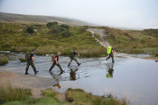
Taw Marsh is a coastal marsh located in Devon, England. It is a wetland area that is characterized by its saltmarshes, tidal creeks, and mudflats. The marsh is situated near the confluence of the Rivers Taw and Torridge, making it an important habitat for a variety of plant and animal species.
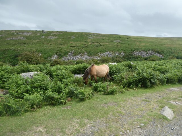
The marsh is home to a diverse range of wildlife, including birds such as waders, ducks, and geese, as well as insects, amphibians, and small mammals. The saltmarshes provide an important feeding ground for many bird species, particularly during the winter months when food sources are scarce.
Taw Marsh is also a popular destination for birdwatchers and nature enthusiasts, who come to observe the wildlife and enjoy the peaceful surroundings. The marsh is managed by conservation organizations to protect its delicate ecosystem and ensure the continued presence of its diverse plant and animal species.
Overall, Taw Marsh is an important coastal marsh in Devon, offering a unique and valuable habitat for a variety of wildlife and providing a peaceful and scenic environment for visitors to enjoy.
If you have any feedback on the listing, please let us know in the comments section below.
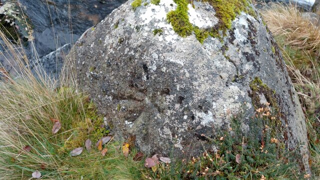
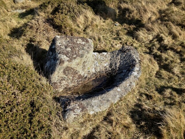
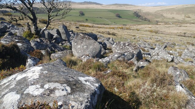
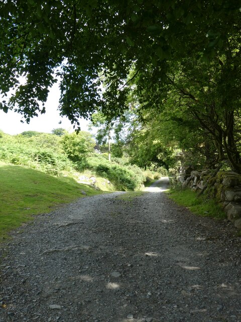
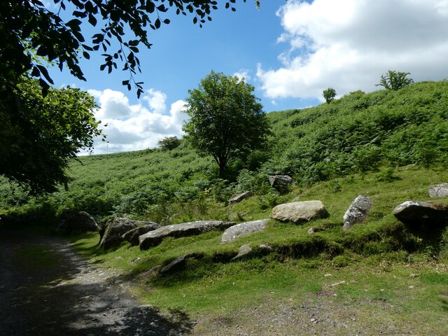
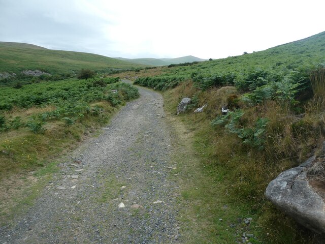
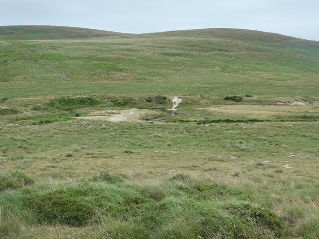
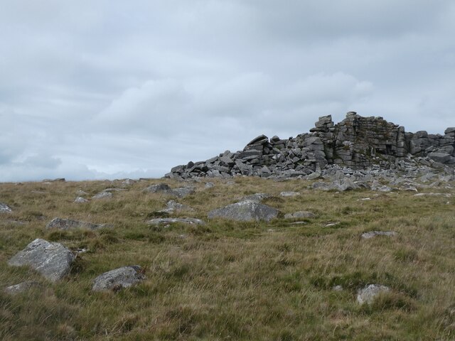
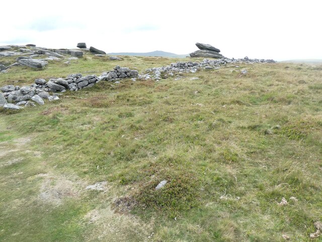
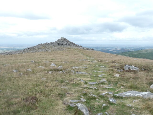
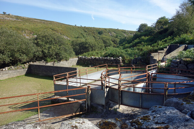
Taw Marsh Images
Images are sourced within 2km of 50.699263/-3.9527071 or Grid Reference SX6290. Thanks to Geograph Open Source API. All images are credited.


Taw Marsh is located at Grid Ref: SX6290 (Lat: 50.699263, Lng: -3.9527071)
Administrative County: Devon
District: West Devon
Police Authority: Devon and Cornwall
What 3 Words
///slugs.pillow.demoted. Near Okehampton, Devon
Nearby Locations
Related Wikis
Cosdon Hill
Cosdon Hill, also called Cosdon Beacon, or Cawsand Beacon, is one of the highest hills on Dartmoor, in Devon, England. It has numerous traces of prehistoric...
Belstone
Belstone is a small village and civil parish in the West Devon District of Devon, England. == Location == Lying on the northern side of Dartmoor, the western...

Nine Maidens stone circle
The Nine Maidens, also known as the Seventeen Brothers, is a Bronze Age stone circle located near the village of Belstone on Dartmoor in Devon, England...
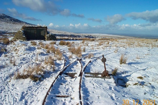
Rowtor Target Railway
The Rowtor Target Railway was a military narrow gauge target railway south of Okehampton in Dartmoor, England with a gauge of 24 inches (610 mm). ��2...
Nearby Amenities
Located within 500m of 50.699263,-3.9527071Have you been to Taw Marsh?
Leave your review of Taw Marsh below (or comments, questions and feedback).