Blawith Point
Coastal Feature, Headland, Point in Lancashire South Lakeland
England
Blawith Point
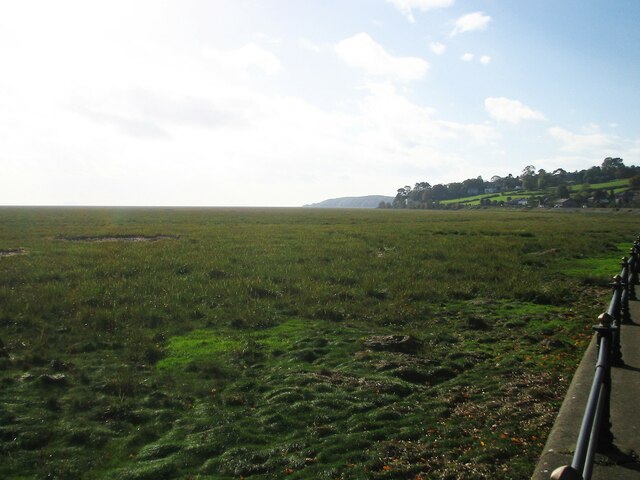
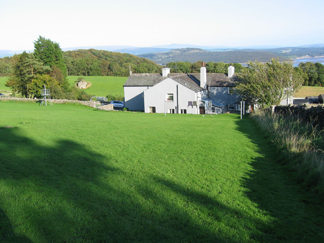
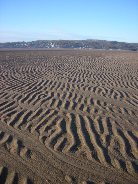
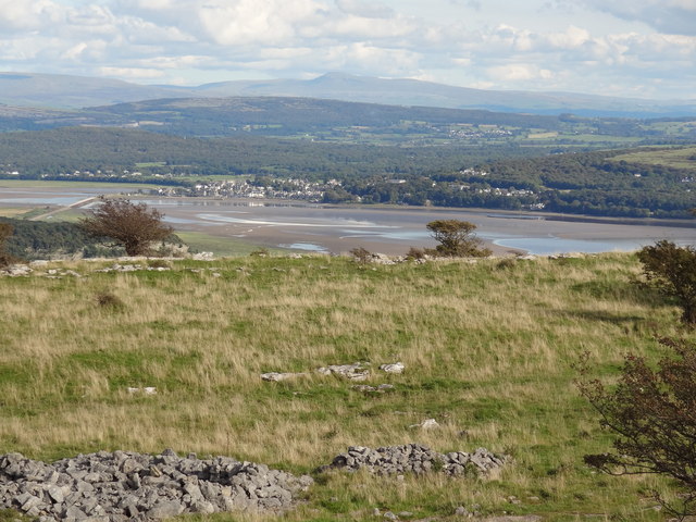
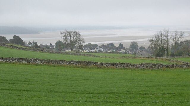
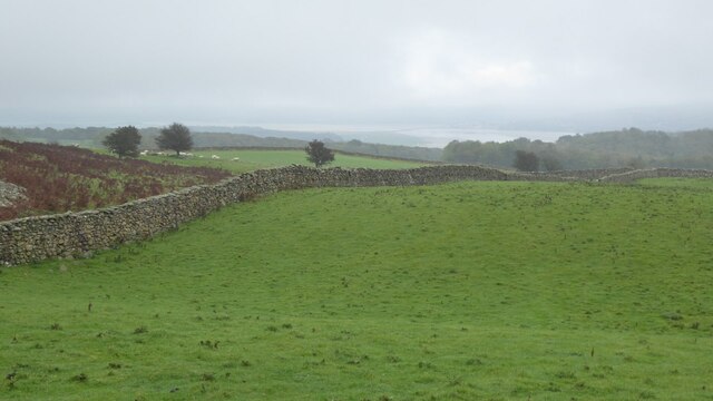
Blawith Point is a prominent headland located in the county of Lancashire, England. Situated along the picturesque coastline, this coastal feature is known for its stunning views and natural beauty. The point juts out into the Irish Sea, providing visitors with panoramic vistas of the surrounding area.
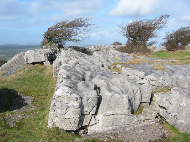
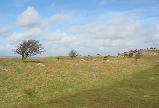
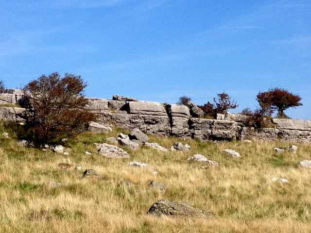
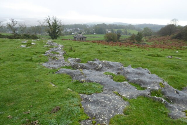
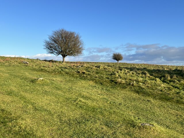
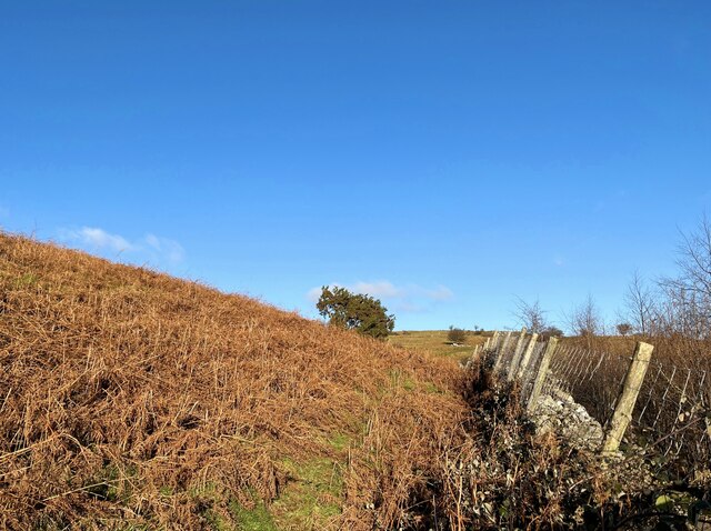
At approximately 200 feet in height, Blawith Point offers a commanding presence along the coast. Its rocky cliffs and rugged terrain make it an ideal spot for hikers and nature enthusiasts looking to explore the area. The headland is covered in lush vegetation, including grasses, shrubs, and wildflowers, adding to its charm.
Blawith Point is also home to a diverse range of wildlife. Seabirds such as gulls, cormorants, and puffins can often be spotted nesting along the cliffs, while seals and dolphins occasionally make appearances in the waters below. The area is a designated site of special scientific interest, highlighting its ecological significance.
For those interested in history, Blawith Point has a rich heritage. The remains of an ancient fort can be found atop the headland, serving as a reminder of the area's past. Visitors can explore the fort's ruins and imagine what life was like for its inhabitants centuries ago.
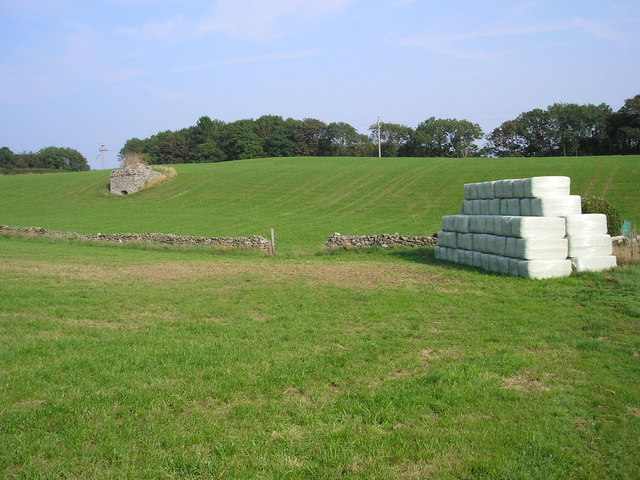
Access to Blawith Point is relatively easy, with a well-maintained footpath leading to the headland. The surrounding area offers ample parking and picnic spots, making it a popular destination for day trips and leisurely walks. Whether it's the stunning views, abundant wildlife, or historical significance, Blawith Point is a must-visit for anyone seeking a unique coastal experience in Lancashire.
If you have any feedback on the listing, please let us know in the comments section below.
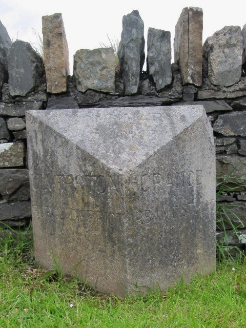
Blawith Point Images
Images are sourced within 2km of 54.19645/-2.8964634 or Grid Reference SD4178. Thanks to Geograph Open Source API. All images are credited.
Blawith Point is located at Grid Ref: SD4178 (Lat: 54.19645, Lng: -2.8964634)
Administrative County: Cumbria
District: South Lakeland
Police Authority: Cumbria
What 3 Words
///branching.doghouse.confined. Near Grange-over-Sands, Cumbria
Nearby Locations
Related Wikis

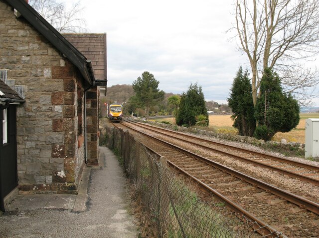
Grange-over-Sands railway station
Grange-over-Sands is a railway station on the Furness Line, which runs between Barrow-in-Furness and Lancaster. The station, situated 15+1⁄2 miles (25...
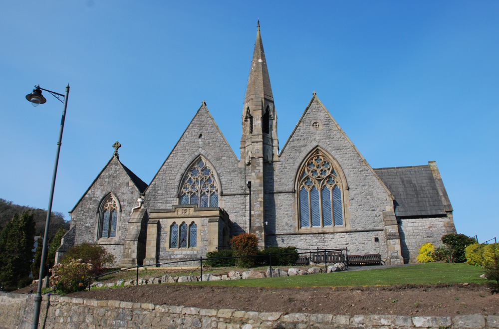
St Paul Parish Church, Grange-over-Sands
St Paul's Church is in Crown Hill, Grange-over-Sands, Cumbria, England. It is an active Anglican parish church in the deanery of Windermere, the archdeaconry...

Grange-over-Sands
Grange-over-Sands is a town and civil parish on the north side of Morecambe Bay in Cumbria, England, a few miles south of the Lake District National Park...
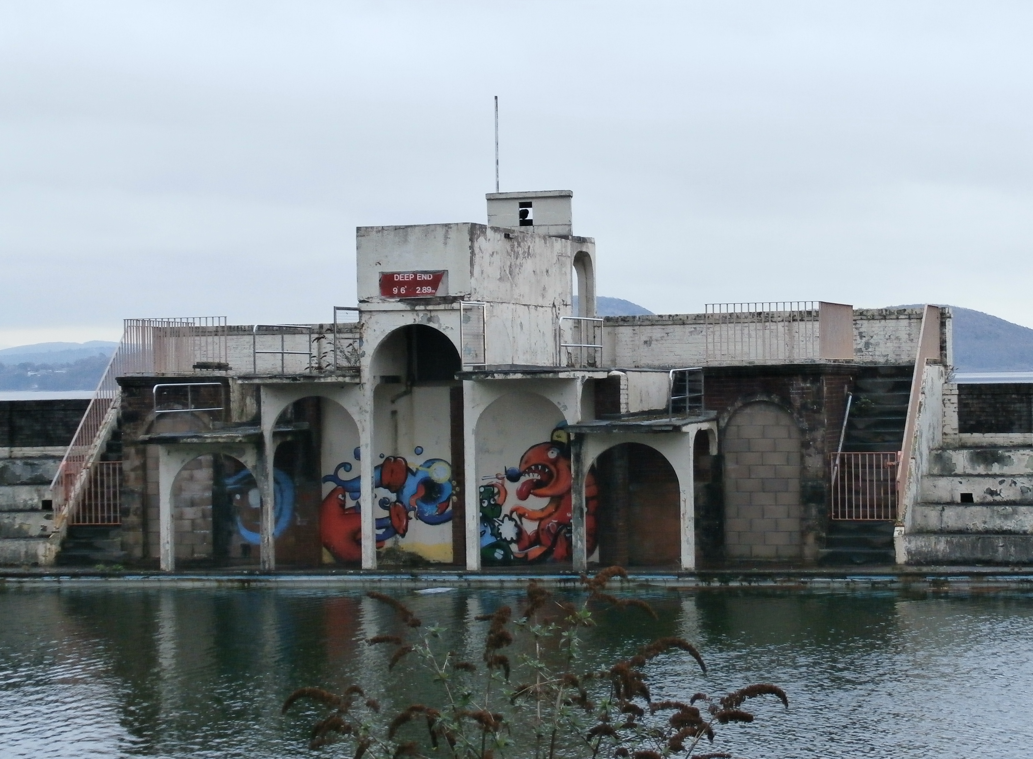
Grange Lido
Grange Lido is an open-air 50 m sea-water swimming pool, or lido, in Grange-over-Sands, Cumbria, England. It opened in 1932 and closed in 1993, but campaigners...
Related Videos

Walking with Wolves in Cumbria
We visited the Predator Experience in Grange-Over-Sands in the Lake District to walk with three young wolves.


Grange-over-Sands
Lakeland Walking.

Cosy holiday cottage for two in the Lake District
Are you celebrating a Special Birthday or Anniversary! Why not celebrate by booking a couple of nights away with Wine and ...
Nearby Amenities
Located within 500m of 54.19645,-2.8964634Have you been to Blawith Point?
Leave your review of Blawith Point below (or comments, questions and feedback).