Gilli Geo

Coastal Feature, Headland, Point in Orkney

Scotland

Gilli Geo

The old church and cemetery by the Bay of Creekland
The old church and cemetery by the Bay of Creekland Credit: David Medcalf

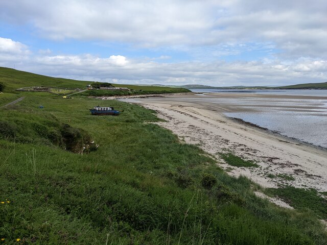
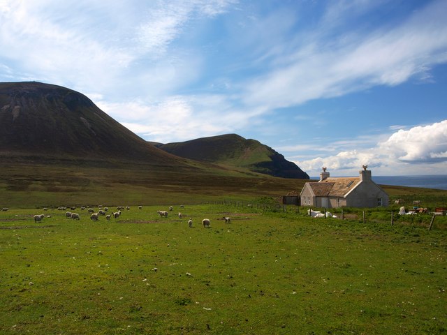
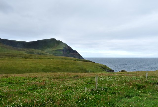
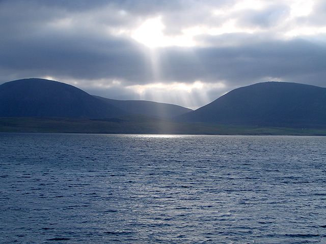
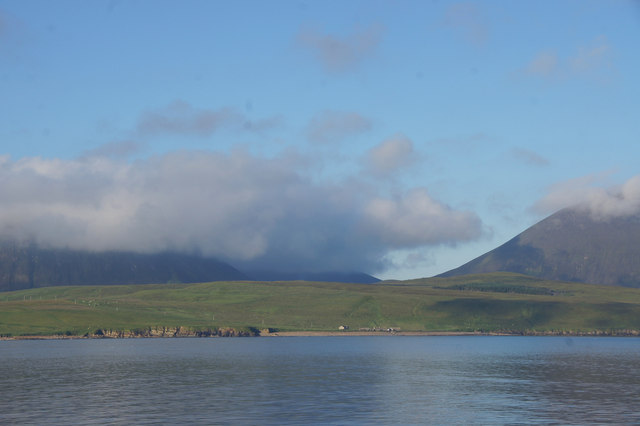
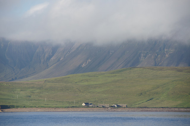
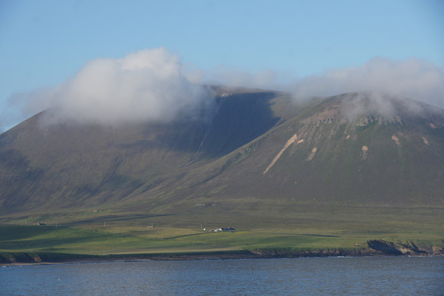
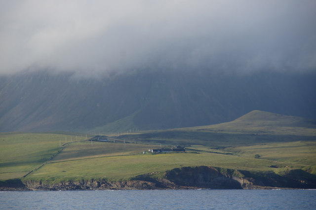
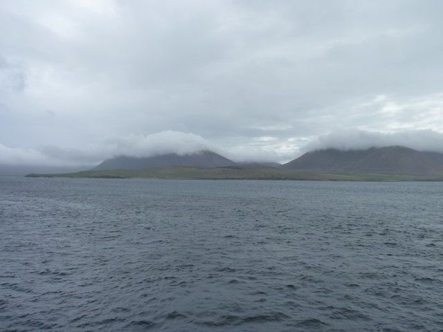
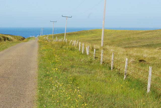
Gilli Geo is a prominent coastal feature located in Orkney, a group of islands in northern Scotland. It is a headland that extends out into the North Sea, forming a distinct point along the rugged coastline of Orkney.

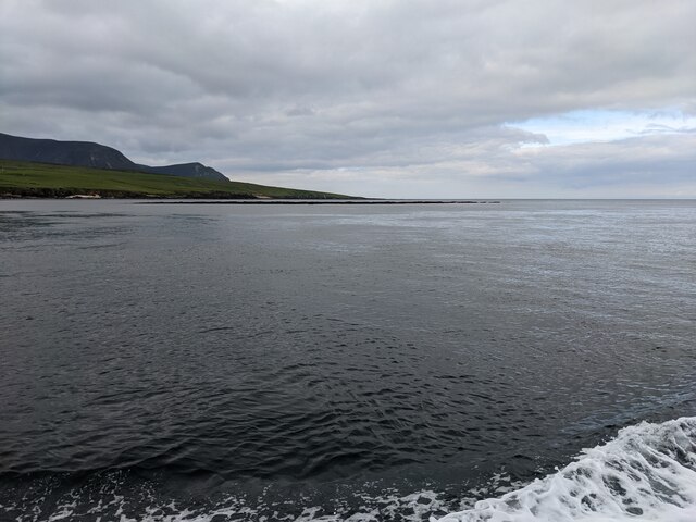
The headland is characterized by its rocky cliffs, which rise steeply from the surrounding sea. These cliffs are composed of volcanic rocks, displaying layers of basalt and other igneous formations. The geology of Gilli Geo is a testament to the region's volcanic past, as it is part of a larger volcanic complex that formed millions of years ago.

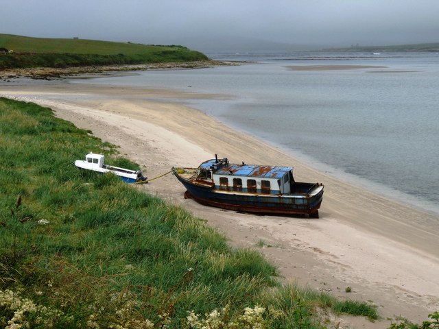
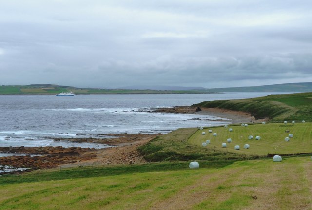
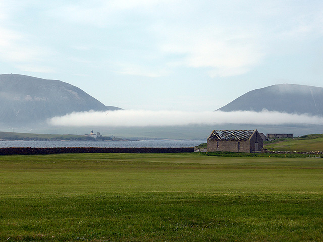
Gilli Geo offers breathtaking panoramic views of the surrounding area, including the open sea and the adjacent islands. The headland is a popular destination for nature enthusiasts and photographers, who come to marvel at the dramatic coastal scenery and the abundance of birdlife that can be found in the area.

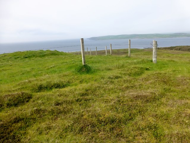
The headland is accessible to visitors via a designated walking trail, which allows for a closer exploration of the cliffs and the unique rock formations. It is important to exercise caution while venturing close to the cliff edges, as they can be unstable and slippery.

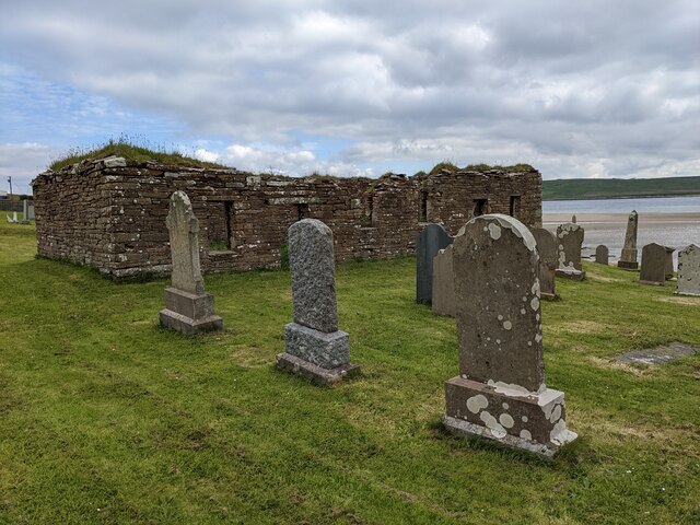
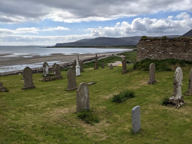
Gilli Geo is also a site of historical significance, with evidence of ancient settlements and archaeological artifacts found in the vicinity. It provides a glimpse into the rich cultural heritage of Orkney, with remnants of past human activity scattered across the headland.

Overall, Gilli Geo is a captivating coastal feature that offers a combination of natural beauty, geological interest, and historical significance. It is a must-visit destination for those seeking to immerse themselves in the rugged charm of Orkney's coastline.

If you have any feedback on the listing, please let us know in the comments section below.

Gilli Geo Images

Images are sourced within 2km of 58.931669/-3.3507914 or Grid Reference HY2205. Thanks to Geograph Open Source API. All images are credited.

The old church and cemetery by the Bay of Creekland
The cemetery and the Sands of Klebreck
The stranded boat has moved inland A dozen years ago, it was on the sand. See:  <a title="https://www.geograph.org.uk/photo/2524025" href="https://www.geograph.org.uk/photo/2524025">Link</a>
The stranded boat has moved inland
A dozen years ago, it was on the sand. See: Link
Outer Skerry rock bank The skerry is the thin dark line below the horizon. Seen from the Hoy Ferry.
Outer Skerry rock bank
The skerry is the thin dark line below the horizon. Seen from the Hoy Ferry.
Murra and the Kame The renovated crofthouse at Murra <a href="https://www.geograph.org.uk/photo/1483912">HY2104 : Murra and Lenders Dale</a> looking towards Lounders Fea and The Kame of Hoy.
It is in an exposed location but very well built and placed to withstand the local climate.
It is an example of a sturdy building which has been tastefully renovated
Murra and the Kame
The renovated crofthouse at Murra HY2104 : Murra and Lenders Dale looking towards Lounders Fea and The Kame of Hoy. It is in an exposed location but very well built and placed to withstand the local climate. It is an example of a sturdy building which has been tastefully renovated
Beached boat, Sands of Klebreck
Lenders Dale from the road end at Murra The Kame of Hoy drops steeply into the sea.
Lenders Dale from the road end at Murra
The Kame of Hoy drops steeply into the sea.
Hay harvest above The Flashes Ferry heading through Hoy Sound towards Stromness
Hay harvest above The Flashes
Ferry heading through Hoy Sound towards Stromness
Sunbeams over Hoy Viewed across Hoy Sound from Innertown, Stromness.
Sunbeams over Hoy
Viewed across Hoy Sound from Innertown, Stromness.
Low cloud over Hoy Viewed from Point of Ness across the golf course.
Low cloud over Hoy
Viewed from Point of Ness across the golf course.
The Witter Sixth TuMP of a circuit from the Moaness Ferry with Jim Bloomer and Tricky Speirs. Round Hill, Ward Hill, Cuilags, Sui Fea, Top of Hellia with The Witter to finish before coffee and a cake at the cafe.
Name:The Witter
Hill number:12209
Height: 121m / 397ft
Parent (Ma/M):1549  Ward Hill
Area:23: Orkney Islands
Class:1
Grid ref: HY223046 (est)
Drop: 40m
Col: 81m  HY223039
The Witter
Sixth TuMP of a circuit from the Moaness Ferry with Jim Bloomer and Tricky Speirs. Round Hill, Ward Hill, Cuilags, Sui Fea, Top of Hellia with The Witter to finish before coffee and a cake at the cafe. Name:The Witter Hill number:12209 Height: 121m / 397ft Parent (Ma/M):1549 Ward Hill Area:23: Orkney Islands Class:1 Grid ref: HY223046 (est) Drop: 40m Col: 81m HY223039
Selwick, Hoy Taken from the MV Hamnavoe in Hoy Sound.
Selwick, Hoy
Taken from the MV Hamnavoe in Hoy Sound.
Selwick, Hoy Taken from the MV Hamnavoe.
Selwick, Hoy
Taken from the MV Hamnavoe.
Murra, Hoy With Cuilags in the background.
Murra, Hoy
With Cuilags in the background.
Murra, Hoy Houses below the Hoy hills, taken from the MV Hamnavoe.
Murra, Hoy
Houses below the Hoy hills, taken from the MV Hamnavoe.
Orographic cloud Curling over the summits of the hills on Hoy.
Orographic cloud
Curling over the summits of the hills on Hoy.
Road on Hoy near Ward Hill
Road leading to Murra on Hoy
Show me another place!

Gilli Geo is located at Grid Ref: HY2205 (Lat: 58.931669, Lng: -3.3507914)

Unitary Authority: Orkney Islands

Police Authority: Highlands and Islands

What 3 Words

///plenty.rent.validated. Near Stromness, Orkney Islands

Related Wikis

Hoy Sound

Hoy Sound is a body of salt water subject to tidal currents situated south of the town of Stromness in the Orkney archipelago of Scotland. The sound lies...

Ward Hill, Hoy

Ward Hill is a hill on the island of Hoy in Orkney, Scotland. It lies at the north of the island between Moaness and Rackwick, and is the highest point...

Breckness House

Breckness House, sometimes known as Breckness Castle, is the site of the 17th century mansion, chapel and burial ground, built by George Graham (1565–1643...

Graemsay

Graemsay () is an island in the western approaches to Scapa Flow, in the Orkney Islands of Scotland. The island has two lighthouses. Graemsay lies within...

Stromness Museum

Stromness Museum is a small independent museum in the town of Stromness in Orkney, Scotland focusing on the town's connections to maritime and natural...

Stromness

Stromness (locally , Old Norse: Straumnes; Norn: Stromnes) is the second-most populous town in Orkney, Scotland. It is in the southwestern part of Mainland...

Oyster wave energy converter

The Oyster was a hydro-electric wave energy device that used the motion of ocean waves to generate electricity. It was made up of a Power Connector Frame...

Pier Arts Centre

The Pier Arts Centre is an art gallery and museum in Stromness, Orkney, Scotland. It was established in 1979 to provide a home for an important collection...

Nearby Amenities

Located within 500m of 58.931669,-3.3507914
Hillock of Howesdale
Place: locality
Lat/Long: 58.930459/-3.3550827
White Cos's Hole
Place: locality
Lat/Long: 58.9293361/-3.345132
Fea
Place: locality
Lat/Long: 58.9275688/-3.3503702
The data included in this document is from www.openstreetmap.org. The data is made available under ODbL.

Have you been to Gilli Geo?

Leave your review of Gilli Geo below (or comments, questions and feedback).