Sgeir nan Gabhar
Island in Argyllshire
Scotland
Sgeir nan Gabhar
The requested URL returned error: 429 Too Many Requests
If you have any feedback on the listing, please let us know in the comments section below.
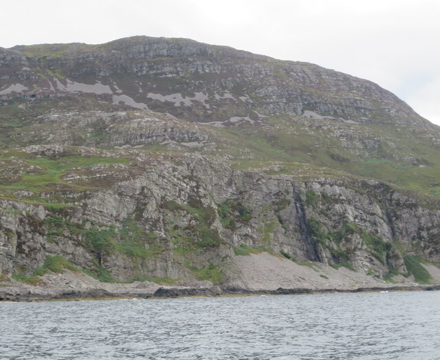
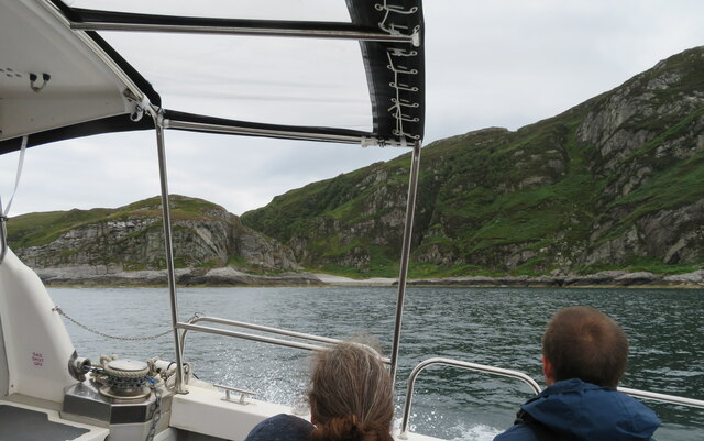
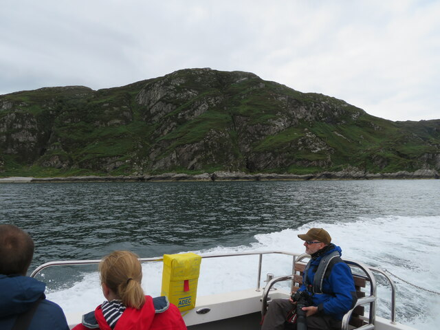
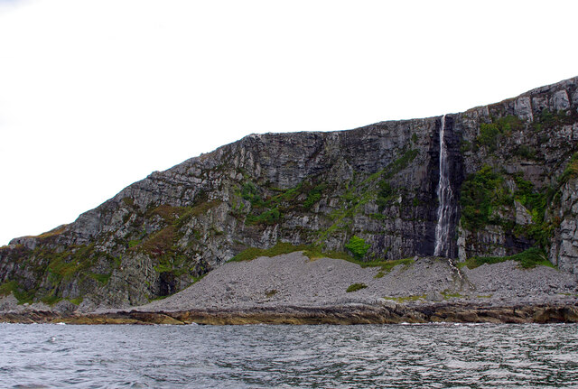
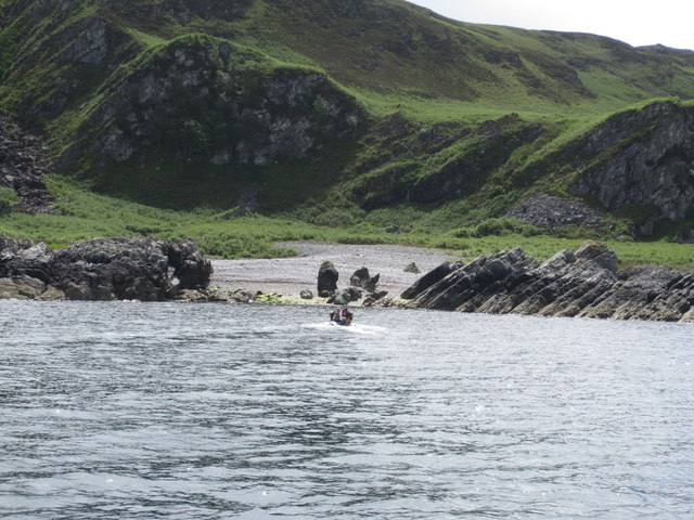
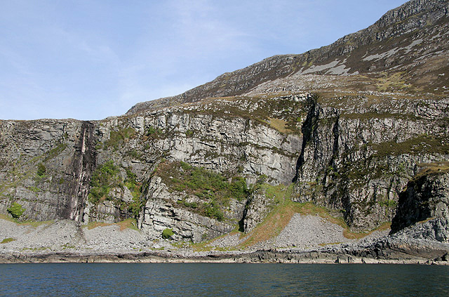
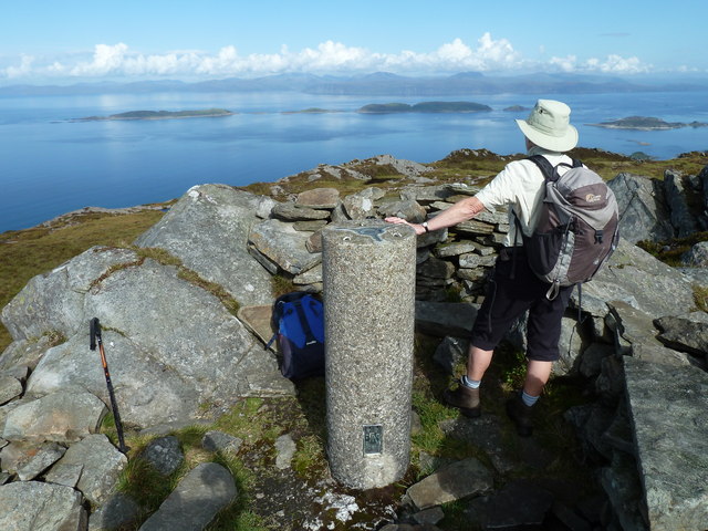
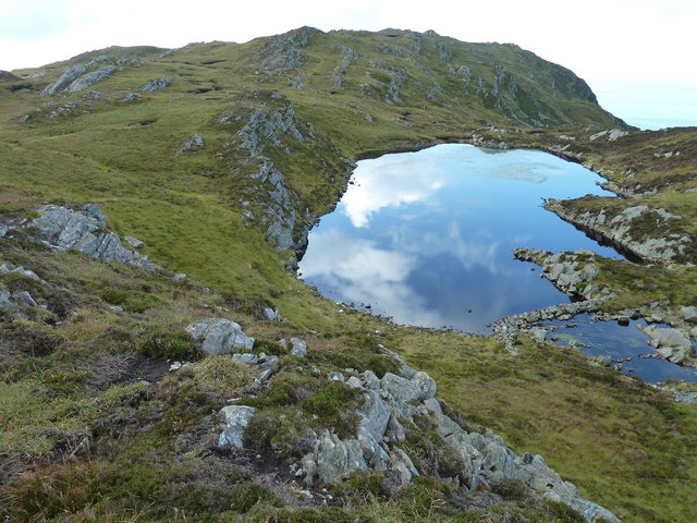
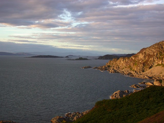
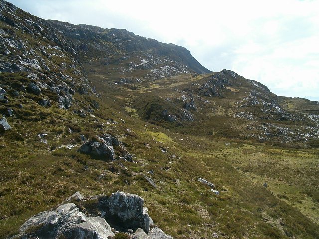
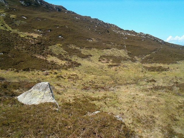
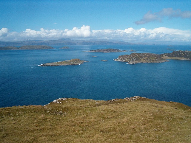
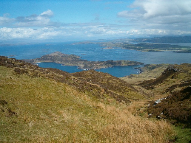
Sgeir nan Gabhar Images
Images are sourced within 2km of 56.187606/-5.7315021 or Grid Reference NM6805. Thanks to Geograph Open Source API. All images are credited.
Sgeir nan Gabhar is located at Grid Ref: NM6805 (Lat: 56.187606, Lng: -5.7315021)
Unitary Authority: Argyll and Bute
Police Authority: Argyll and West Dunbartonshire
What 3 Words
///allows.pots.curls. Near Lochbuie, Argyll & Bute
Nearby Locations
Related Wikis

Scarba
Scarba (Scottish Gaelic: Sgarba) is an island, in Argyll and Bute, Scotland, just north of the much larger island of Jura. The island has not been permanently...

Lunga, Firth of Lorn
Lunga is one of the Slate Islands in the Firth of Lorn in Argyll and Bute, Scotland. The "Grey Dog" tidal race, which runs in the sea channel to the south...

Scarba, Lunga and the Garvellachs National Scenic Area
Scarba, Lunga and the Garvellachs is the name of one of the 40 national scenic areas of Scotland. The designated area covers the islands of Scarba, Lunga...
Gulf of Corryvreckan
The Gulf of Corryvreckan (from the Gaelic Coire Bhreacain, meaning 'cauldron of the speckled seas' or 'cauldron of the plaid'), also called the Strait...
Have you been to Sgeir nan Gabhar?
Leave your review of Sgeir nan Gabhar below (or comments, questions and feedback).