Taigh Iamain

Island in Inverness-shire

Scotland

Taigh Iamain

Tidal rock near Cleit Steiseigh
Tidal rock near Cleit Steiseigh Credit: Toby Speight

Taigh Iamain is a small island located off the west coast of Scotland in the council area of Inverness-shire. Situated in the Inner Hebrides, the island is renowned for its picturesque landscapes and rich historical significance.

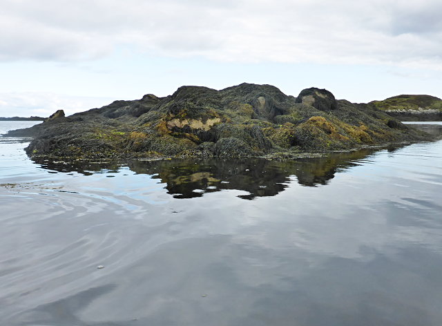
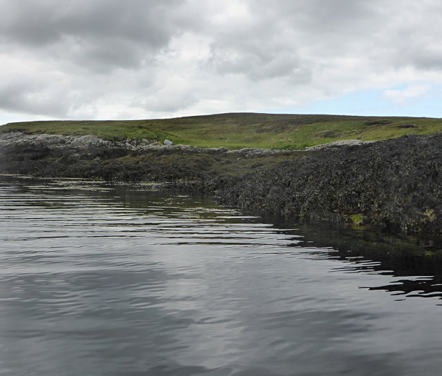
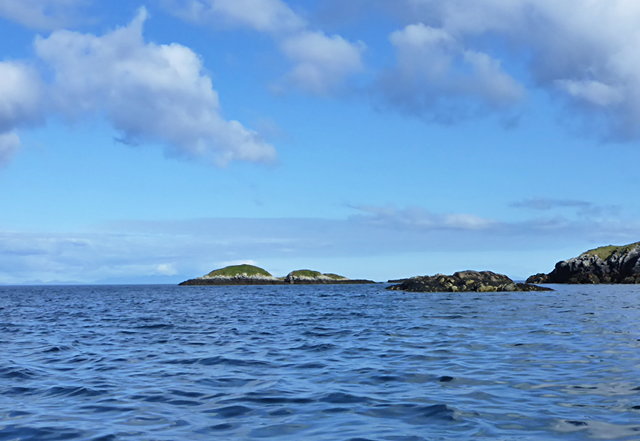
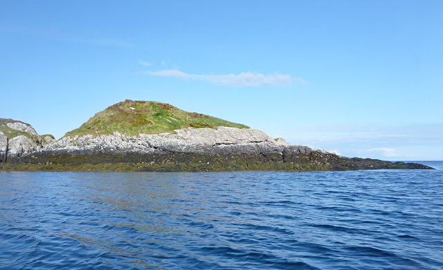
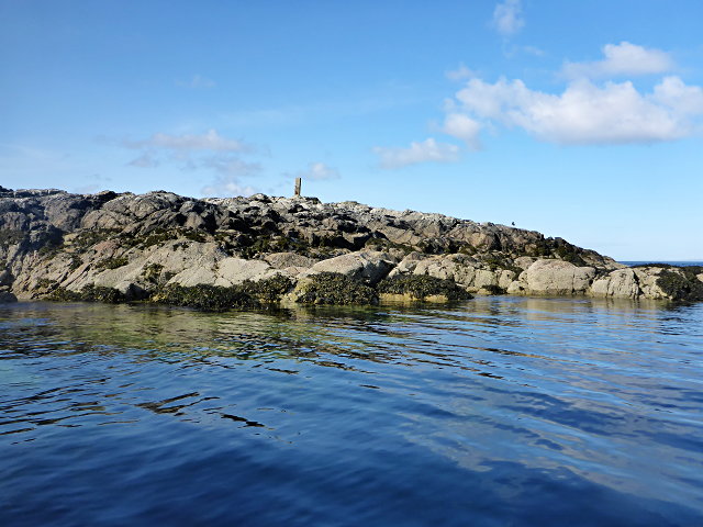
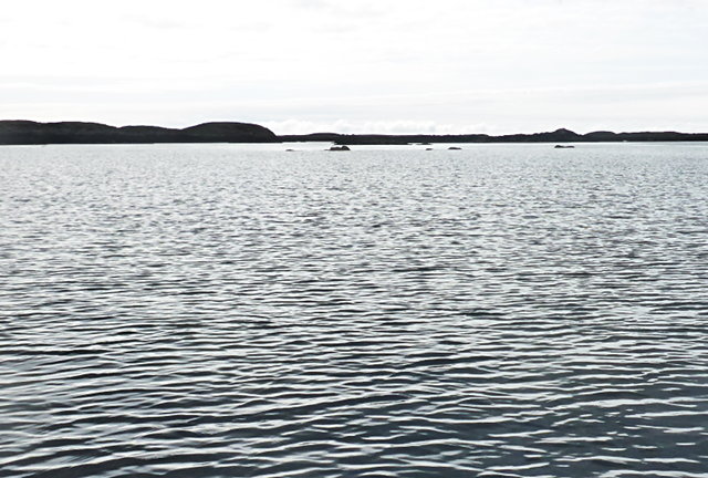
Covering an area of approximately 2 square miles, Taigh Iamain is primarily known for its rugged terrain and rocky coastline. The island is home to diverse flora and fauna, including various bird species, seals, and otters. It offers breathtaking views of the surrounding sea and neighboring islands.

Taigh Iamain has a fascinating history, with evidence of human settlement dating back to the Neolithic period. The island features ancient standing stones and burial cairns, providing glimpses into its past. It has also been inhabited by various Celtic tribes and Norse settlers.

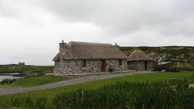
In terms of amenities, Taigh Iamain offers limited facilities due to its small population and remote location. There are no permanent residents, but the island attracts tourists looking for a tranquil getaway. Visitors can explore the island's walking trails, go birdwatching or fishing, and experience the serenity of its unspoiled natural beauty.

To reach Taigh Iamain, visitors can take a ferry from nearby ports on the mainland. The island provides a secluded and peaceful escape, ideal for nature lovers, history enthusiasts, and those seeking tranquility amidst stunning Scottish landscapes.

If you have any feedback on the listing, please let us know in the comments section below.
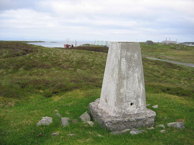
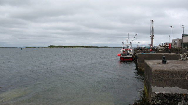
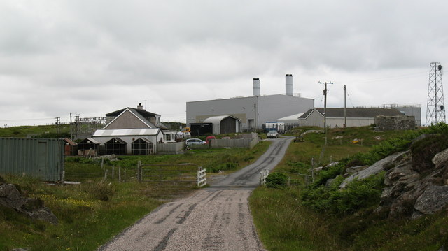
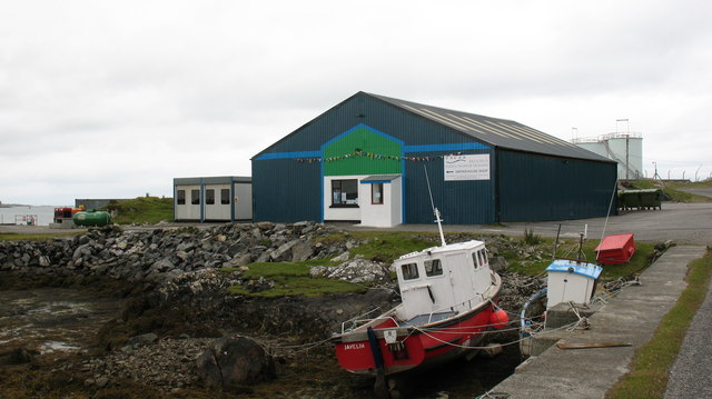
Taigh Iamain Images

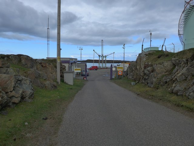
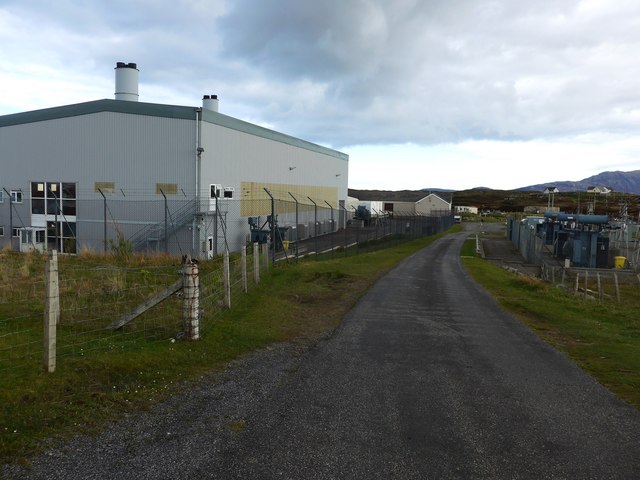
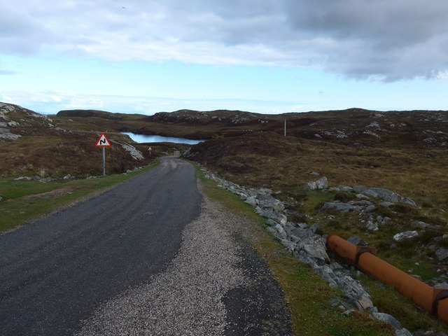
Images are sourced within 2km of 57.373483/-7.2618645 or Grid Reference NF8343. Thanks to Geograph Open Source API. All images are credited.
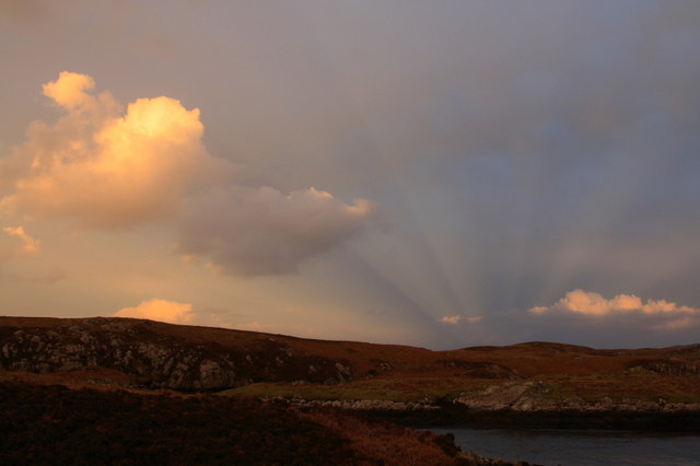
Tidal rock near Cleit Steiseigh
Cràraigh Mhor
Cràraigh Mhor
Eilean a' Geòidh Gasaidh is visible on the extreme right.
Eilean a' Geòidh
Gasaidh is visible on the extreme right.
Eilean a' Mhadaidh
Eilean a' Mhadaidh
Sgeir Mhic Iamain There's a concrete pillar on top of this islet.  I can't be sure, but it's likely that it's a former navigation aid.  There's also an oystercatcher - I'm more sure of that, and it hasn't stayed as long.
Sgeir Mhic Iamain
There's a concrete pillar on top of this islet. I can't be sure, but it's likely that it's a former navigation aid. There's also an oystercatcher - I'm more sure of that, and it hasn't stayed as long.
Steiseigh and nearby rocks This is a wide, shallow sea, with a big difference in what's visible at high and low tide.  Here, we're somewhere between the two, and a few rocks are already showing.
Steiseigh and nearby rocks
This is a wide, shallow sea, with a big difference in what's visible at high and low tide. Here, we're somewhere between the two, and a few rocks are already showing.
Loch Carnan no. 1 port-side channel buoy This is the most seaward of the marker buoys for Loch Carnan (excepting <a href="https://www.geograph.org.uk/photo/4974591">NF8843 : Loch nan Carnan Landfall Buoy</a>).  There are 4 port buoys and 2 starboard, with Port no. 2 and Starboard no. 1 paired.
Loch Carnan no. 1 port-side channel buoy
This is the most seaward of the marker buoys for Loch Carnan (excepting NF8843 : Loch nan Carnan Landfall Buoy). There are 4 port buoys and 2 starboard, with Port no. 2 and Starboard no. 1 paired.
Fish farm base at Loch Carnan
Certas Energy fuel depot on South Uist Small fuel tankers call here.  The site is owned by MoD and leased to Certas Energy.
Certas Energy fuel depot on South Uist
Small fuel tankers call here. The site is owned by MoD and leased to Certas Energy.
Loch Carnan Power Station Commissioned in 1971;  diesel powered and with a capacity of 11.8MW
Loch Carnan Power Station
Commissioned in 1971; diesel powered and with a capacity of 11.8MW
On the road to Caolas Liubharsaigh
Sunset Shadows Rays and shadows cast by the setting sun over Lochcarnan. The sun is behind the photographer.
Sunset Shadows
Rays and shadows cast by the setting sun over Lochcarnan. The sun is behind the photographer.
Lochcarnan Beyond the trigpoint the background includes a fish processing plant and the Uist's diesel fired power station. The square relevant part is the single track road running through acid soiled grazing on the rugged east coast of South Uist.
Lochcarnan
Beyond the trigpoint the background includes a fish processing plant and the Uist's diesel fired power station. The square relevant part is the single track road running through acid soiled grazing on the rugged east coast of South Uist.
Sandavaig Quayside Small port facility on the NE coast of South Uist.
Sandavaig Quayside
Small port facility on the NE coast of South Uist.
Sandavaig Power Station Small power station close to the shore, generating power from diesel fuel which is supplied from Grangemouth.
Sandavaig Power Station
Small power station close to the shore, generating power from diesel fuel which is supplied from Grangemouth.
Thin Loch near Tholmair. Just one of the hundreds of lochs on South Uist. This one is only just above sea level and seems to be named as 'Caslub'. [shown on OS map]
Thin Loch near Tholmair.
Just one of the hundreds of lochs on South Uist. This one is only just above sea level and seems to be named as 'Caslub'. [shown on OS map]
Smoked salmon factory at Sandavaig. For those who like salmon, there is a very interesting smell as one passes this small factory.
Smoked salmon factory at Sandavaig.
For those who like salmon, there is a very interesting smell as one passes this small factory.
Restored cottage at Rubha Ghaisinis A nicely restored traditional cottage at the road end.
Restored cottage at Rubha Ghaisinis
A nicely restored traditional cottage at the road end.
Show me another place!

Taigh Iamain is located at Grid Ref: NF8343 (Lat: 57.373483, Lng: -7.2618645)

Unitary Authority: Na h-Eileanan an Iar

Police Authority: Highlands and Islands

What 3 Words

///commander.grudging.marshes. Near Balivanich, Na h-Eileanan Siar

Related Wikis

Eilean na Cille

Eilean na Cille, south east of Benbecula is an island of the Outer Hebrides connected to Grimsay (South) by a causeway which carries the B891. The road...

Grimsay (South East Benbecula)

Grimsay, south east of Benbecula is a tidal island of the Outer Hebrides. It is connected to Benbecula by a causeway which carries the B891. In the 2001...

Wiay, Outer Hebrides

Wiay (Scottish Gaelic: Bhuia or Fuidheigh) is an uninhabited island in the Outer Hebrides. It lies south-east of Benbecula and measures approximately...

Eileanan Chearabhaigh

Eileanan Chearabhaigh is a collection of small uninhabited tidal islands off the south east coast of Benbecula in the Outer Hebrides of Scotland. The English...

Carnan (townland)

Carnan is a townland in County Tyrone, Northern Ireland. It is situated in the historic barony of Dungannon Upper and the civil parish of Arboe and covers...

Iochdar

Iochdar (Scottish Gaelic: An t-Ìochdair), also spelled Eochar, is a hamlet and community on the west coast of the island of South Uist, in the Outer Hebrides...

Loch Bee

Loch Bì, sometimes anglicised as Loch Bee, is the largest loch on the island of South Uist in the Outer Hebrides of Scotland. It lies at the northern end...

Our Lady of the Isles

Our Lady of the Isles (Gaelic: Moire ro Naomh nan Eilean or Bana Thighearna nan Eilean) is a sculpture of the Madonna and Child, on South Uist in the Outer...

Nearby Amenities

Located within 500m of 57.373483,-7.2618645
Loch Carnan no. 3 port
Seamark Buoy Lateral Category: port
Seamark Buoy Lateral Colour: red
Seamark Buoy Lateral Shape: pillar
Seamark Type: buoy_lateral
Source: survey
Lat/Long: 57.3718699/-7.2599227
The data included in this document is from www.openstreetmap.org. The data is made available under ODbL.

Have you been to Taigh Iamain?

Leave your review of Taigh Iamain below (or comments, questions and feedback).