Gaiseirnis
Coastal Feature, Headland, Point in Inverness-shire
Scotland
Gaiseirnis
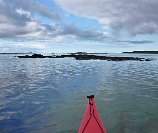
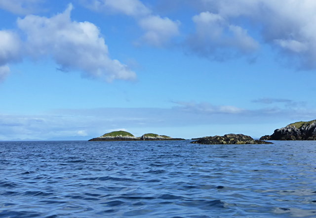
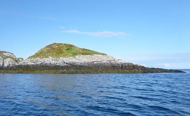
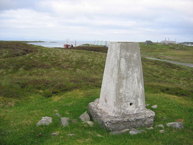
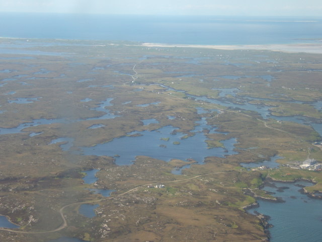
Gaiseirnis is a prominent coastal feature located in the county of Inverness-shire, Scotland. Situated on the western coast of the Scottish Highlands, Gaiseirnis is a headland or point that extends out into the North Atlantic Ocean. It is positioned between the towns of Aultbea and Gairloch, overlooking the beautiful waters of Loch Ewe.
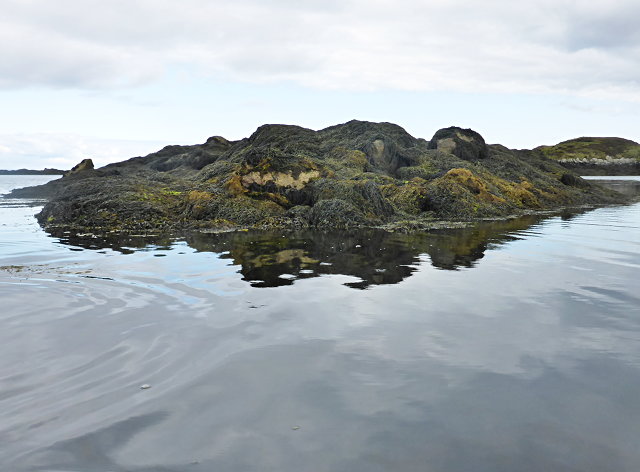
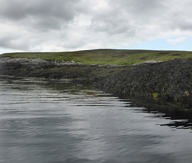
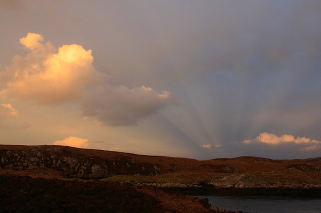
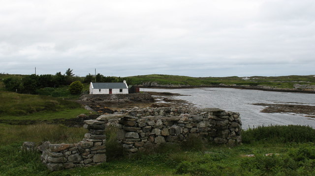
This headland is characterized by its rugged and rocky terrain, with steep cliffs that offer breathtaking views of the surrounding landscape. Gaiseirnis is known for its dramatic and picturesque scenery, attracting tourists and nature enthusiasts from all over the world.
The headland is home to a diverse range of flora and fauna, including various species of seabirds, such as gannets, puffins, and guillemots. It is also a popular spot for whale watching, with frequent sightings of minke whales, dolphins, and porpoises in the waters off the coast.
Gaiseirnis provides an ideal location for outdoor activities such as hiking, rock climbing, and birdwatching. The headland offers several well-marked trails and paths that lead visitors through its stunning landscapes, allowing them to explore its natural beauty up close.
Additionally, Gaiseirnis has a rich historical significance. During World War II, it served as an important naval base and played a crucial role in the Battle of the Atlantic. The remnants of military structures and bunkers can still be found on the headland, serving as a reminder of its wartime past.
Overall, Gaiseirnis in Inverness-shire is a captivating coastal feature that showcases the natural beauty and historical significance of the Scottish Highlands.
If you have any feedback on the listing, please let us know in the comments section below.
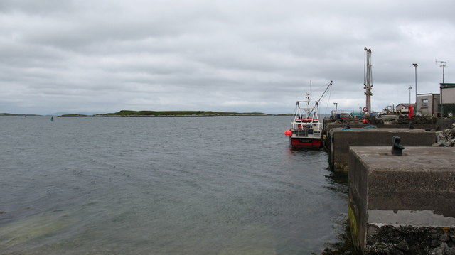
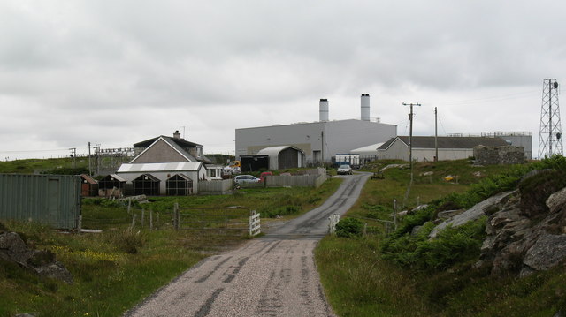
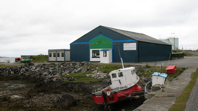
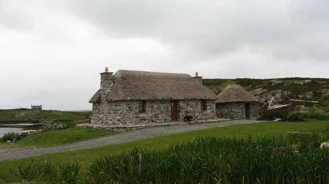
Gaiseirnis Images
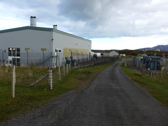
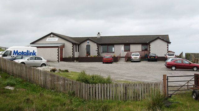
Images are sourced within 2km of 57.375738/-7.2724666 or Grid Reference NF8343. Thanks to Geograph Open Source API. All images are credited.
Gaiseirnis is located at Grid Ref: NF8343 (Lat: 57.375738, Lng: -7.2724666)
Unitary Authority: Na h-Eileanan an Iar
Police Authority: Highlands and Islands
What 3 Words
///waiters.overused.bachelor. Near Balivanich, Na h-Eileanan Siar
Nearby Locations
Related Wikis

Eilean na Cille
Eilean na Cille, south east of Benbecula is an island of the Outer Hebrides connected to Grimsay (South) by a causeway which carries the B891. The road...

Grimsay (South East Benbecula)
Grimsay, south east of Benbecula is a tidal island of the Outer Hebrides. It is connected to Benbecula by a causeway which carries the B891. In the 2001...

Carnan (townland)
Carnan is a townland in County Tyrone, Northern Ireland. It is situated in the historic barony of Dungannon Upper and the civil parish of Arboe and covers...

Wiay, Outer Hebrides
Wiay (Scottish Gaelic: Bhuia or Fuidheigh) is an uninhabited island in the Outer Hebrides. It lies south-east of Benbecula and measures approximately...
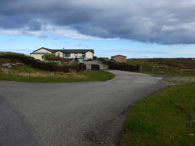
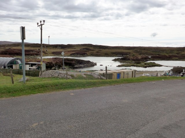
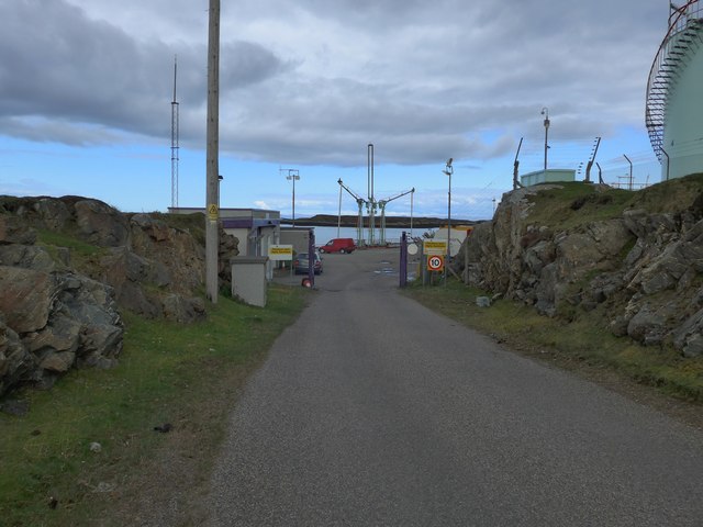
Nearby Amenities
Located within 500m of 57.375738,-7.2724666Have you been to Gaiseirnis?
Leave your review of Gaiseirnis below (or comments, questions and feedback).