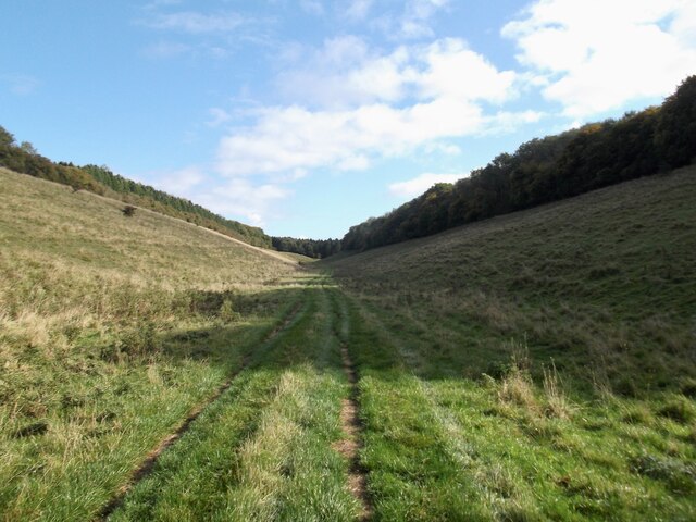
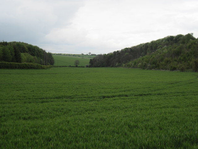
Towthorpe Dale

Valley in Yorkshire

England

Towthorpe Dale

School House Dale
School House Dale Credit: David Brown

The requested URL returned error: 429 Too Many Requests

If you have any feedback on the listing, please let us know in the comments section below.

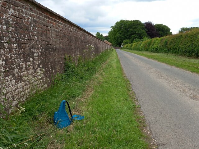
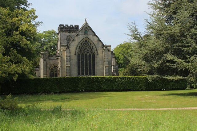
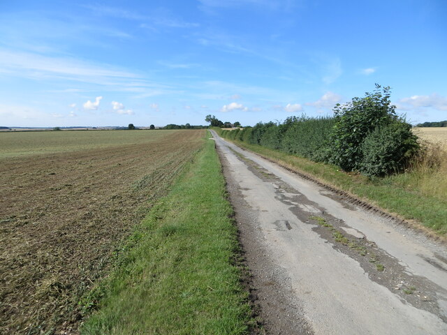
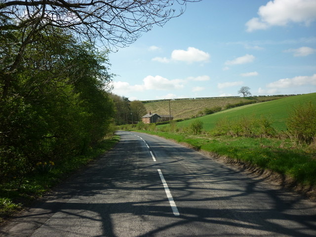
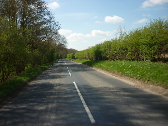
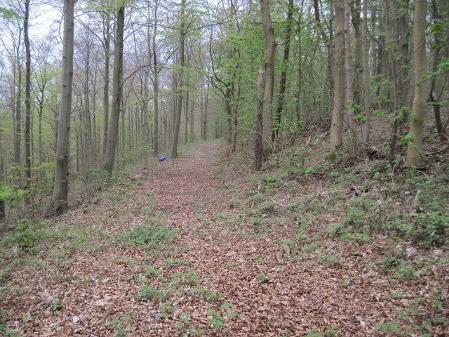
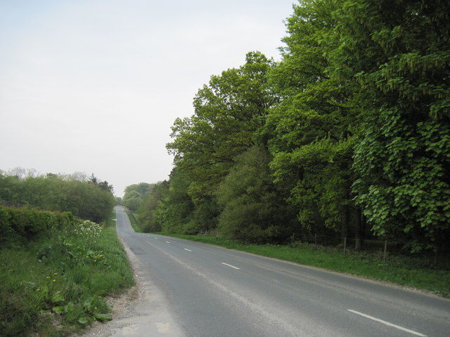
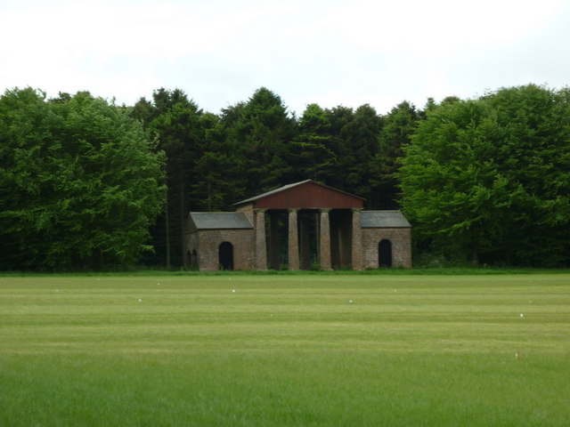
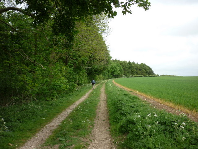
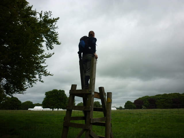
Towthorpe Dale Images

Images are sourced within 2km of 54.057136/-0.6022796 or Grid Reference SE9163. Thanks to Geograph Open Source API. All images are credited.

School House Dale
School House Dale
Sledmere, St Mary's The lichen encrusted benchmark with bolt is on the west face of the church tower.
Sledmere, St Mary's
The lichen encrusted benchmark with bolt is on the west face of the church tower.
Sledmere, St Mary's There is a lichen encrusted benchmark with bolt on the west face of the church tower.
Sledmere, St Mary's
There is a lichen encrusted benchmark with bolt on the west face of the church tower.
Sledmere, Kirby Lane The benchmark is cut into the roadside wall on the east side of the lane.
Sledmere, Kirby Lane
The benchmark is cut into the roadside wall on the east side of the lane.
Sledmere, Kirby Lane There is a benchmark cut into the roadside wall on the east side of the lane. It is to the left of the bag in the photo.
Sledmere, Kirby Lane
There is a benchmark cut into the roadside wall on the east side of the lane. It is to the left of the bag in the photo.
Sledmere, Kirby Lane According to the OS benchmark database there was a wooden post with a cutmark. Today there are a pair of new wooden gateposts and 1 older wooden gatepost. All were checked and no benchmark was found.
Sledmere, Kirby Lane
According to the OS benchmark database there was a wooden post with a cutmark. Today there are a pair of new wooden gateposts and 1 older wooden gatepost. All were checked and no benchmark was found.
Track giving access to Towthorpe Manor Farm Looking north-westward.
Track giving access to Towthorpe Manor Farm
Looking north-westward.
St.Mary's Church, Sledmere As seen from the grounds of Sledmere House
<span class="nowrap"><a title="https://www.sledmerehouse.com" rel="nofollow ugc noopener" href="https://www.sledmerehouse.com">Link</a><img style="margin-left:2px;" alt="External link" title="External link - shift click to open in new window" src="https://s1.geograph.org.uk/img/external.png" width="10" height="10"/></span>
St.Mary's Church, Sledmere
As seen from the grounds of Sledmere House LinkExternal link
Grass verge separating minor road from cultivated field Looking south-westward
Grass verge separating minor road from cultivated field
Looking south-westward
The B1251 towards Fimber Hill roundabout
Beech  Wood  along  York  Bank Masses of old Beech leaves litter this woodland path which goes along the bank before swinging right as it meets Egg Dale. This is private land on the Sledmere Estate.
Beech Wood along York Bank
Masses of old Beech leaves litter this woodland path which goes along the bank before swinging right as it meets Egg Dale. This is private land on the Sledmere Estate.
Road  into  Sledmere The B1251 from Fridaythorpe approaching Sledmere. Claypits Wood on the right.
Road into Sledmere
The B1251 from Fridaythorpe approaching Sledmere. Claypits Wood on the right.
The Deer House at Sledmere Estate
A farm track near Egg Dale
Now that's what I call a stile A stile over the deer fence on the Sledmere Estate.
Now that's what I call a stile
A stile over the deer fence on the Sledmere Estate.
Broad  Dale  with  York  Bank  to  the  Right Behind the hedge to the left is the B1251 road to Sledmere
Broad Dale with York Bank to the Right
Behind the hedge to the left is the B1251 road to Sledmere
St Mary's Church, Sledmere
Show me another place!

Towthorpe Dale is located at Grid Ref: SE9163 (Lat: 54.057136, Lng: -0.6022796)

Division: East Riding

Unitary Authority: East Riding of Yorkshire

Police Authority: Humberside

What 3 Words

///slam.succeed.disbanded. Near Fimber, East Yorkshire

Related Wikis

Towthorpe, East Riding of Yorkshire

Towthorpe is a hamlet and former civil parish, now in the parish of Fimber, in the East Riding of Yorkshire, England. It is situated in the Yorkshire...

Eleanor Cross, Sledmere

A replica Eleanor Cross was erected in Sledmere, East Riding of Yorkshire, in 1896–98. The tall stone structure was constructed by the Sykes family of...

Wagoners' Memorial

The Wagoners' Memorial is a war memorial in Sledmere, in the East Riding of Yorkshire in England. The unusual squat columnar memorial was designed by...
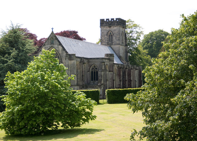
Sledmere House

Sledmere House is a Grade I listed Georgian country house, containing Chippendale, Sheraton and French furnishings and many fine pictures, set within a...

Nearby Amenities

Located within 500m of 54.057136,-0.6022796
The data included in this document is from www.openstreetmap.org. The data is made available under ODbL.

Have you been to Towthorpe Dale?

Leave your review of Towthorpe Dale below (or comments, questions and feedback).