Shorthope Cleugh
Valley in Northumberland
England
Shorthope Cleugh
The requested URL returned error: 429 Too Many Requests
If you have any feedback on the listing, please let us know in the comments section below.
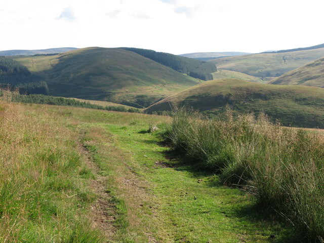
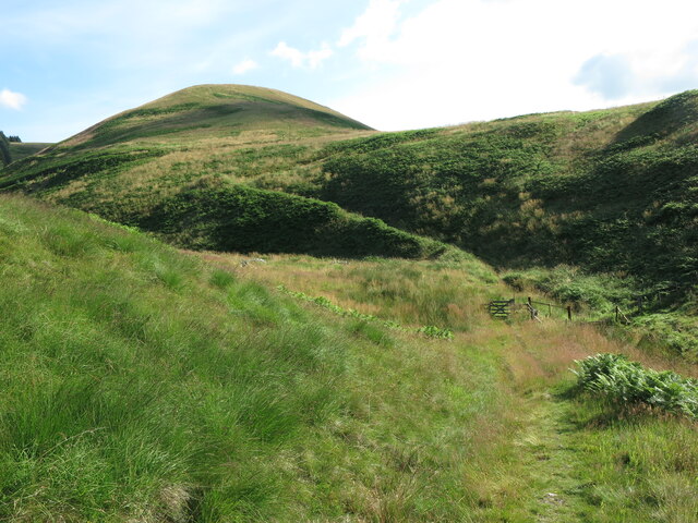
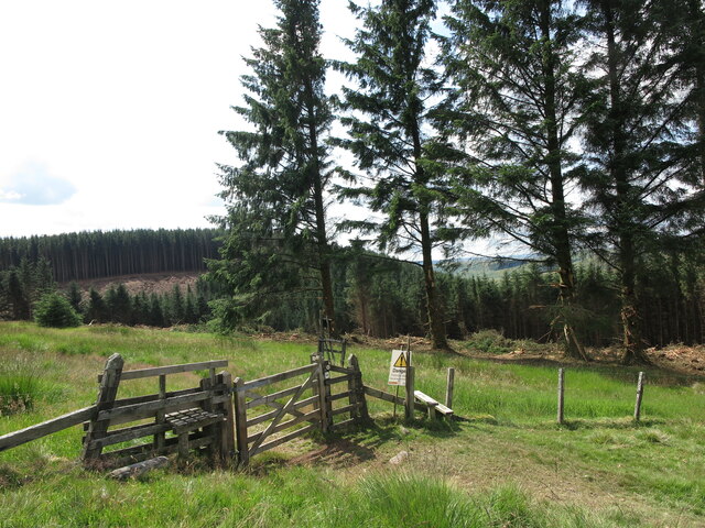
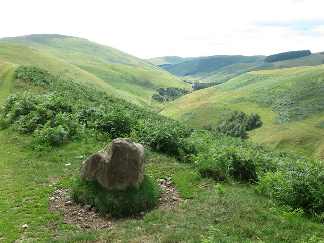
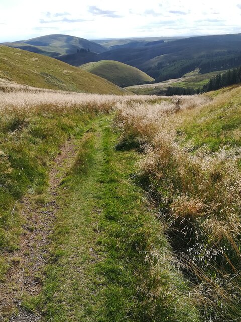
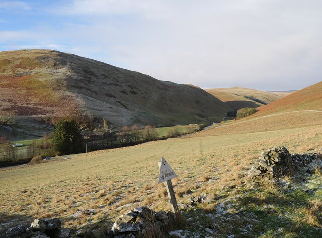
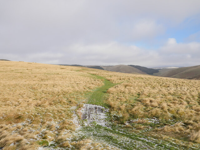
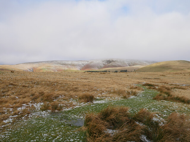
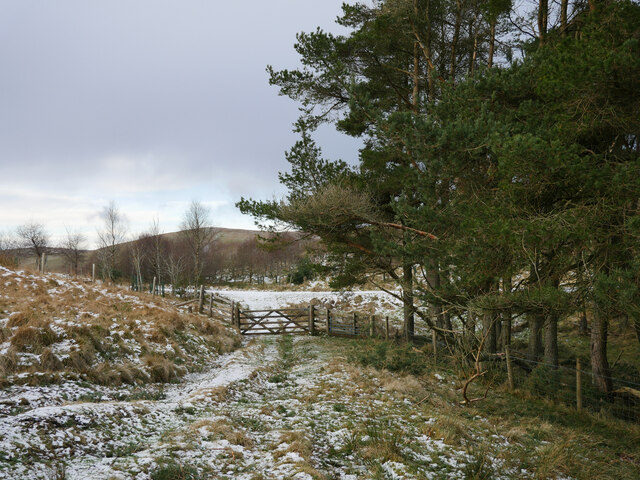
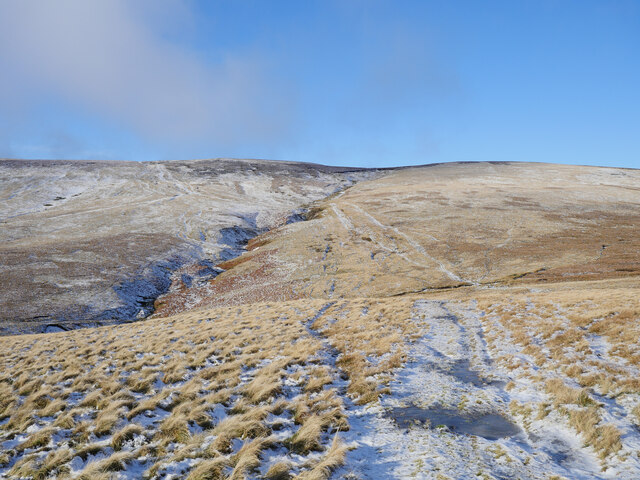
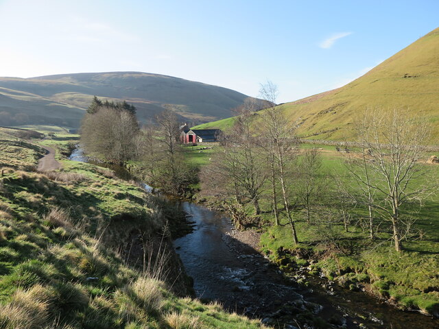
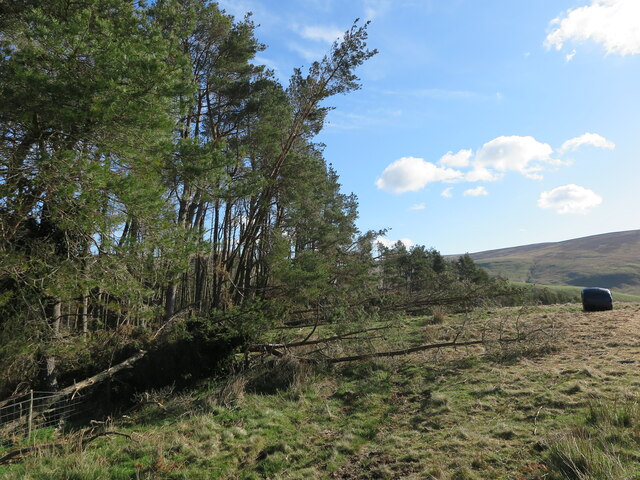
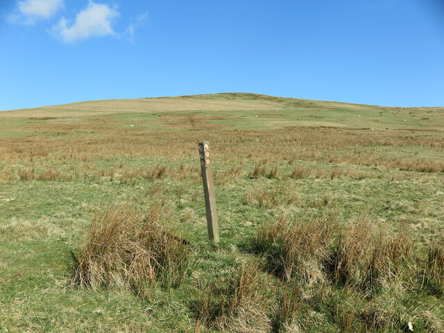
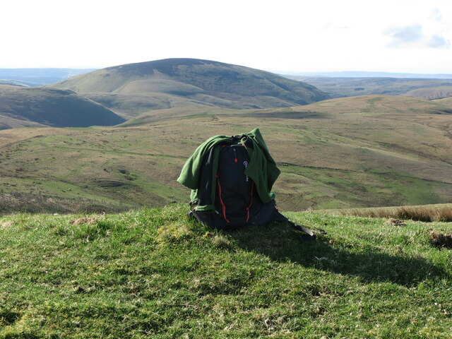
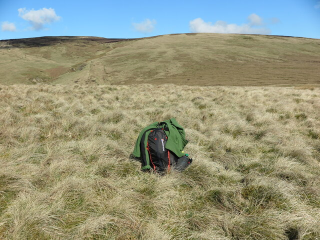
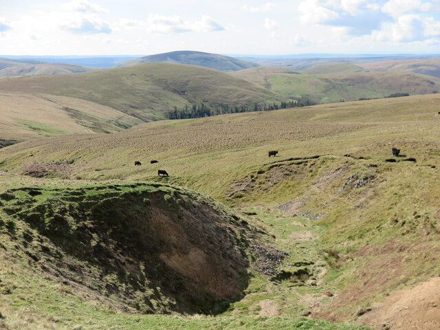
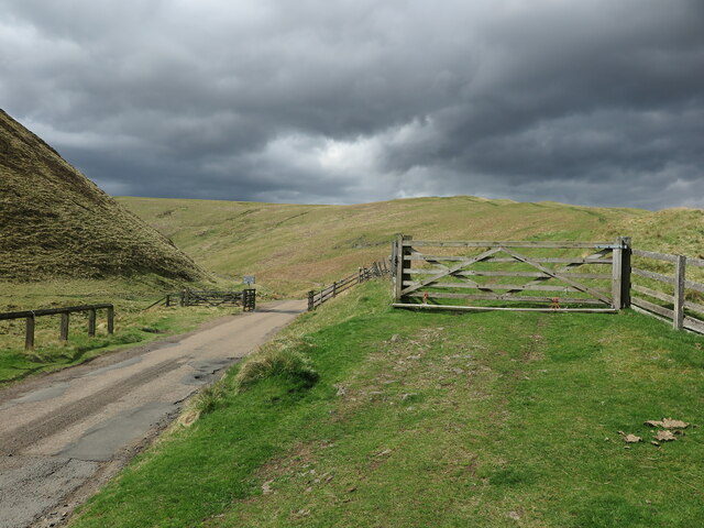
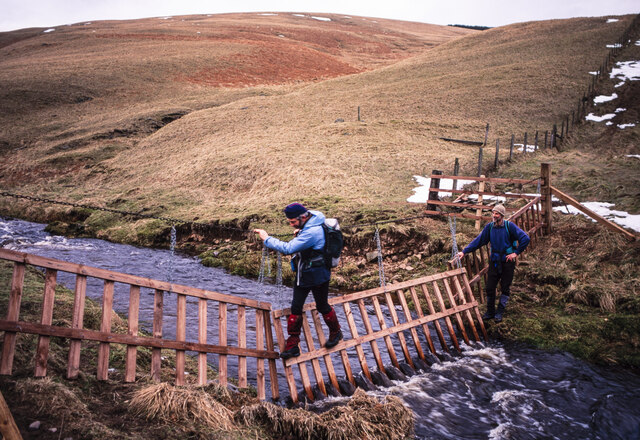
Shorthope Cleugh Images
Images are sourced within 2km of 55.408181/-2.2177729 or Grid Reference NT8612. Thanks to Geograph Open Source API. All images are credited.
Shorthope Cleugh is located at Grid Ref: NT8612 (Lat: 55.408181, Lng: -2.2177729)
Unitary Authority: Northumberland
Police Authority: Northumbria
What 3 Words
///bleach.meanwhile.proceeds. Near Rochester, Northumberland
Nearby Locations
Related Wikis

Barrow Burn Meadows
Barrow Burn Meadows is a Site of Special Scientific Interest (SSSI) in north Northumberland, England. The site is a species-rich hay meadow of a sort now...

Barrow Burn
Barrowburn is a hamlet in Upper Coquetdale in the county of Northumberland, England. It comprises a working farm with associated buildings and two holiday...

Windy Gyle
Windy Gyle is a mountain in the Cheviot Hills range, on the border between England and Scotland. Like the other hills in the area, it is rounded and grass...

Shillhope Law
Shillhope Law is a hill in the southern Cheviots, a range of hills in Northumberland, England. Shillhope Law is a relatively unremarkable member of this...
Nearby Amenities
Located within 500m of 55.408181,-2.2177729Have you been to Shorthope Cleugh?
Leave your review of Shorthope Cleugh below (or comments, questions and feedback).