Fowls Heugh

Valley in Aberdeenshire

Scotland

Fowls Heugh

Cumulus clouds over Aberdeenshire uplands
Cumulus clouds over Aberdeenshire uplands Credit: Bill Harrison

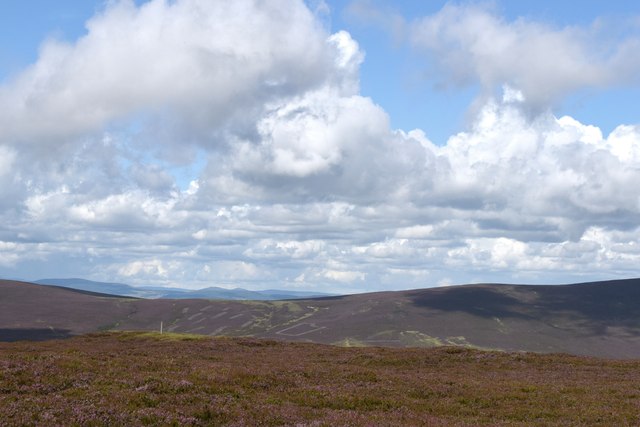
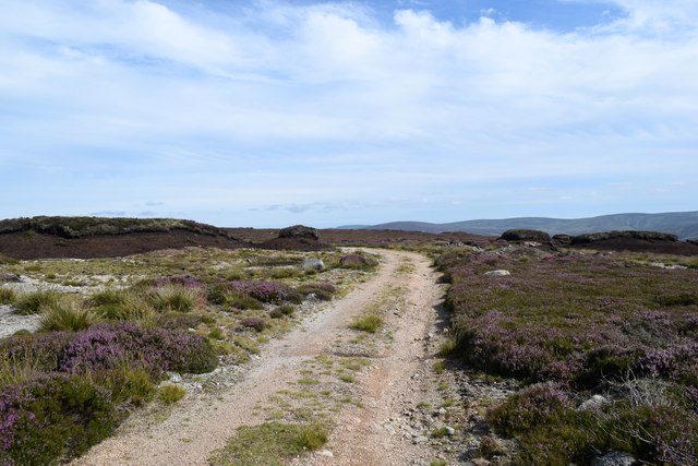
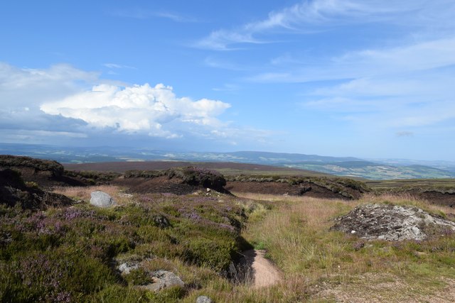
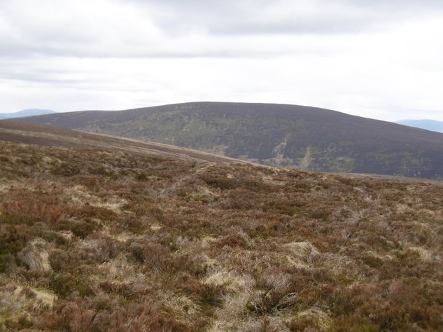
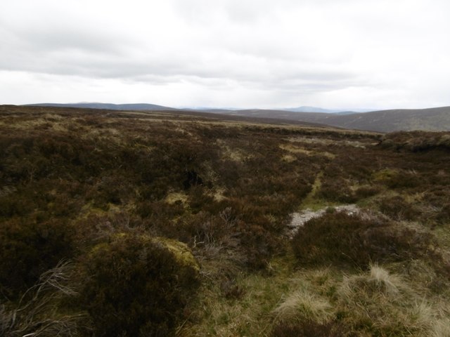
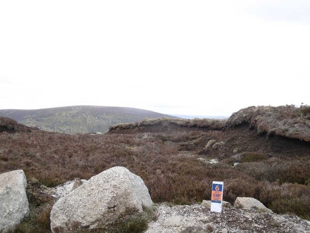
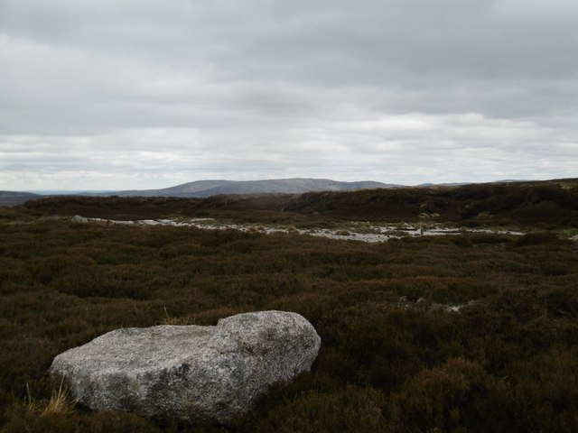
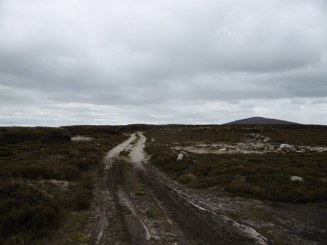
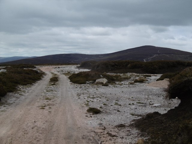
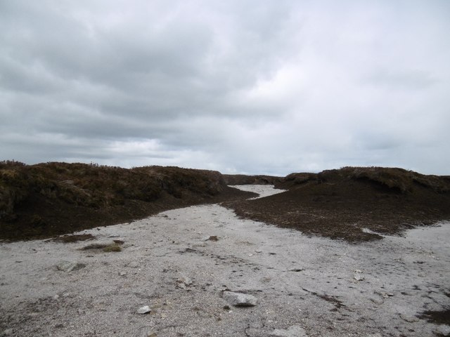
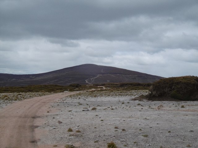
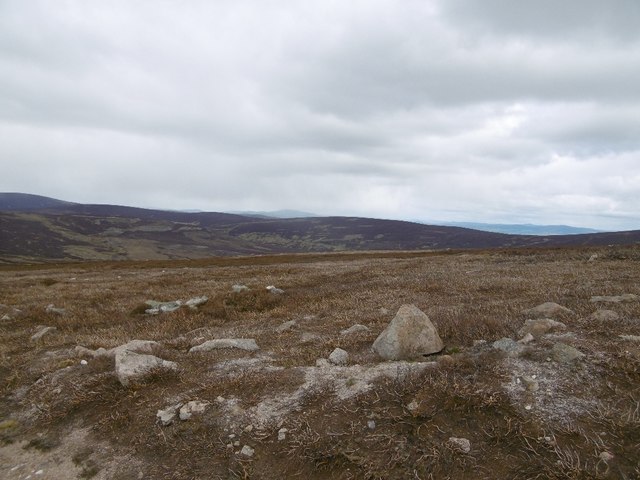
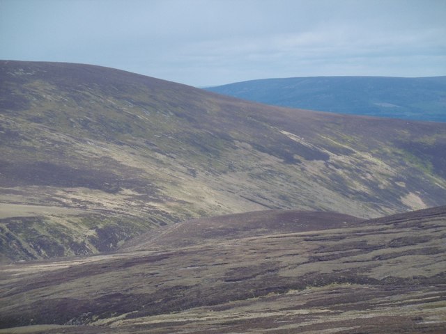
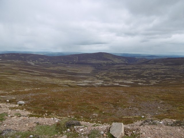
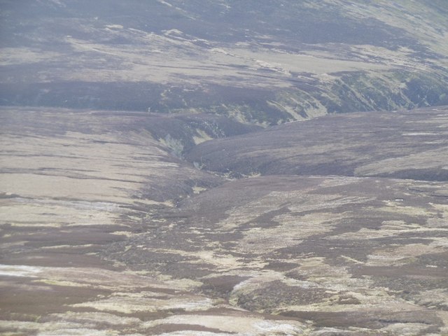
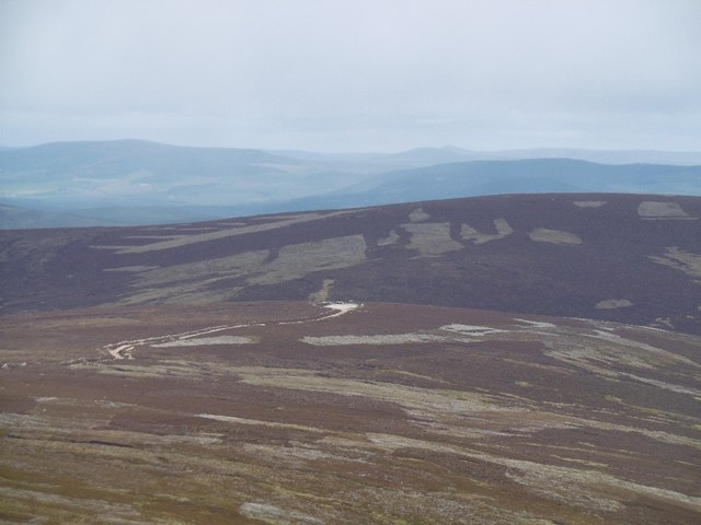
Fowls Heugh is a stunning valley located in Aberdeenshire, Scotland. Nestled between rolling hills and picturesque landscapes, this hidden gem is a true delight for nature lovers and adventure seekers alike. The valley stretches for approximately one mile and offers breathtaking views of the surrounding countryside.

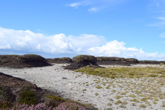
Fowls Heugh is known for its diverse wildlife and rich biodiversity. The valley is home to a wide range of bird species, including puffins, guillemots, and razorbills, making it a popular spot for birdwatchers. The steep cliffs and rocky outcrops provide nesting sites for these magnificent creatures, creating a spectacle of nature.

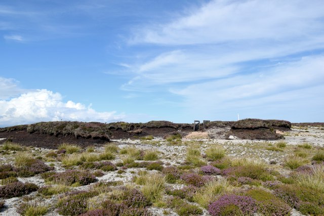
In addition to its avian inhabitants, Fowls Heugh boasts an abundance of wildflowers, grasses, and shrubs, adding vibrant colors to the landscape. The valley is carpeted with bluebells during the spring, creating a sea of purple and providing a haven for insects and butterflies.

For those seeking outdoor adventures, Fowls Heugh offers several hiking trails that wind through the valley. These trails cater to different fitness levels, from leisurely walks to more challenging treks. Along the way, visitors can marvel at the dramatic cliffs and rock formations, carved by centuries of natural erosion.

Fowls Heugh is a place where one can escape the hustle and bustle of everyday life and immerse themselves in the beauty of nature. Whether it's birdwatching, hiking, or simply enjoying a peaceful picnic surrounded by breathtaking scenery, this valley in Aberdeenshire offers a truly unforgettable experience.

If you have any feedback on the listing, please let us know in the comments section below.

Fowls Heugh Images

Images are sourced within 2km of 56.975155/-2.7014017 or Grid Reference NO5787. Thanks to Geograph Open Source API. All images are credited.

Cumulus clouds over Aberdeenshire uplands
Path past the peat, Hill of Badymicks The peat is degrading and eroding to result in weirdly shaped peat hags.
Path past the peat, Hill of Badymicks
The peat is degrading and eroding to result in weirdly shaped peat hags.
Peat hags, Hill of Badymicks Peat has completely eroded away in the foreground to leave fine granite chips.
Peat hags, Hill of Badymicks
Peat has completely eroded away in the foreground to leave fine granite chips.
Weird landscape, Hill of Badymicks Isolated peat hags and exposed underlying granite with new vegetation starting to grow.    A derelict grouse butt is also visible.
Weird landscape, Hill of Badymicks
Isolated peat hags and exposed underlying granite with new vegetation starting to grow. A derelict grouse butt is also visible.
Upland landscape with peat hags The valley of the River Dee can be seen in the far distance.
Upland landscape with peat hags
The valley of the River Dee can be seen in the far distance.
Peter Hill Not named after the former chairman of Hereford United!   View from Sandy Hill, northwards.
Peter Hill
Not named after the former chairman of Hereford United! View from Sandy Hill, northwards.
Moorland, north of Glen Dye The north side of the broad ridge between Mount Battock and Clachnaben.
Moorland, north of Glen Dye
The north side of the broad ridge between Mount Battock and Clachnaben.
Peg marker Shooting peg, more usually found in a lowland setting rather than at nearly 600m on a moor.
Peg marker
Shooting peg, more usually found in a lowland setting rather than at nearly 600m on a moor.
Boulder, Hill of Badymicks A lump of granite amongst eroded peat hags.
Boulder, Hill of Badymicks
A lump of granite amongst eroded peat hags.
Road, Hill of Badymicks The ridge between Clachnaben and Mount Battock with eroded peat bogs.
Road, Hill of Badymicks
The ridge between Clachnaben and Mount Battock with eroded peat bogs.
Road, Hill of Badymicks View over eroded peat and the underlying gravels towards Mount Battock.
Road, Hill of Badymicks
View over eroded peat and the underlying gravels towards Mount Battock.
Eroded peat, Hill of Badymicks Silver granite gravels exposed by the erosion of peat deposits on the ridge.
Eroded peat, Hill of Badymicks
Silver granite gravels exposed by the erosion of peat deposits on the ridge.
Lost bogs of Hill of Badymicks The road makes use of exposed granite gravels where the peat has been eroded away.
Lost bogs of Hill of Badymicks
The road makes use of exposed granite gravels where the peat has been eroded away.
Burnt heather, Hill of Badymicks Moorland east of Mount Battock.
Burnt heather, Hill of Badymicks
Moorland east of Mount Battock.
Moorland, Water of Aven View towards Peter Hill from Mount Battock.
Moorland, Water of Aven
View towards Peter Hill from Mount Battock.
Leggie Burn Catchment of Water of Aven and a view of Peter Hill from the slopes of Mount Battock.
Leggie Burn
Catchment of Water of Aven and a view of Peter Hill from the slopes of Mount Battock.
Leggie Burn Draining the slopes of Mount Battock into the Water of Aven.
Leggie Burn
Draining the slopes of Mount Battock into the Water of Aven.
Cock Hill Looking along to the road end where there was a parked Land Rover.
Cock Hill
Looking along to the road end where there was a parked Land Rover.
Show me another place!

Fowls Heugh is located at Grid Ref: NO5787 (Lat: 56.975155, Lng: -2.7014017)

Unitary Authority: Aberdeenshire

Police Authority: North East

What 3 Words

///organisms.ditched.country. Near Aboyne, Aberdeenshire

Nearby Locations

Fowls Heugh

Related Wikis

Mount Battock

Mount Battock (778 m) is a mountain in the Mounth on the eastern edge of the Scottish Highlands, on the border between Aberdeenshire and Angus. A rounded...

Clachnaben

Clachnaben (archaically "Cloch-na'bain"; Scottish Gaelic: "Clach na Beinne") is a 589-metre hill in Glen Dye, Aberdeenshire, Scotland. It is a distinctive...

Forest of Birse

The Forest of Birse is a remote upland area in the upper catchment of the Water of Feugh, which forms the south-western portion of the Parish of Birse...

Easter Clune Castle

Easter Clune Castle is a ruined 16th-century tower house, about 6 miles (9.7 km) south-west of Banchory, Aberdeenshire, Scotland, and south of the Water...

Have you been to Fowls Heugh?

Leave your review of Fowls Heugh below (or comments, questions and feedback).