Westgate Park
Downs, Moorland in Lincolnshire North Kesteven
England
Westgate Park
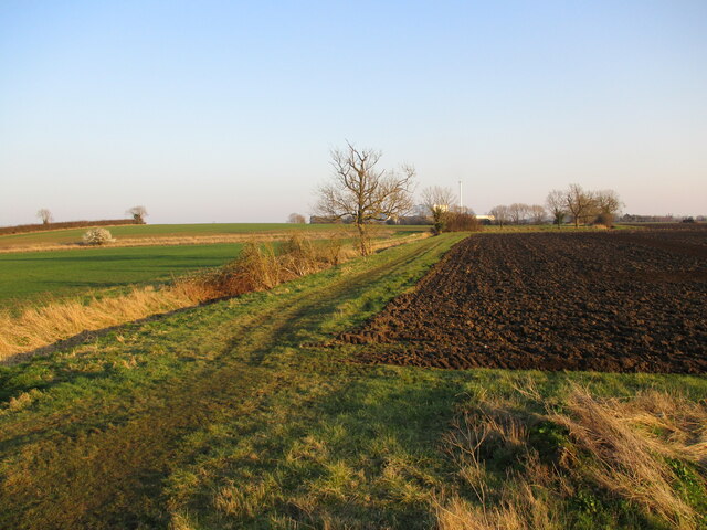
Westgate Park is a stunning natural reserve located in Lincolnshire, England. Covering an area of approximately 200 acres, the park is characterized by its diverse landscapes, including downs, moorland, and lush green meadows. It is a popular destination for nature enthusiasts, hikers, and families seeking a tranquil escape from urban life.
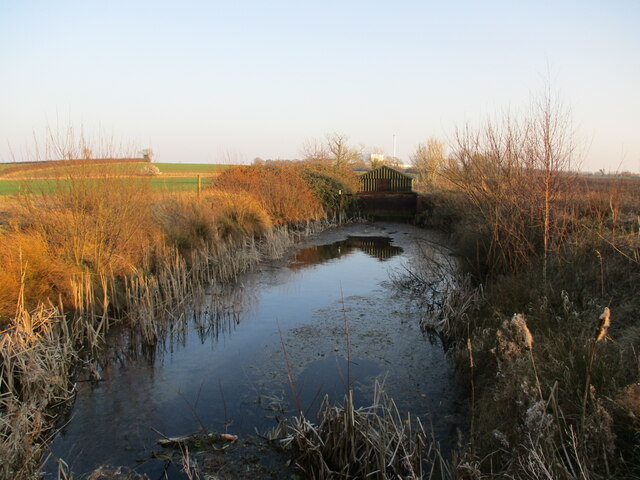
The downs in Westgate Park are vast and rolling, offering breathtaking panoramic views of the surrounding countryside. These grassy slopes are home to a variety of plant species and provide a habitat for numerous bird species, making it an ideal spot for birdwatching. The moorland areas, on the other hand, are characterized by their wild and rugged beauty, with heather-covered hills and rocky outcrops creating a dramatic landscape.
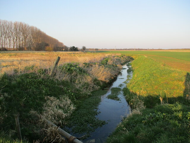
Visitors to Westgate Park can explore the numerous walking trails that wind through the park, allowing them to immerse themselves in the natural beauty of the area. The park is also home to several picnic areas, providing a perfect spot for families and friends to enjoy a leisurely outdoor lunch.
In addition to its natural beauty, Westgate Park offers educational opportunities, with information boards scattered throughout the park providing insight into the local flora and fauna. The park also hosts occasional guided tours and workshops, allowing visitors to learn more about the area's rich biodiversity and conservation efforts.
Overall, Westgate Park in Lincolnshire is a haven for nature lovers, offering a unique combination of downs, moorland, and meadows. Its diverse landscapes, walking trails, and educational opportunities make it a must-visit destination for those seeking to connect with nature in a peaceful and picturesque setting.
If you have any feedback on the listing, please let us know in the comments section below.
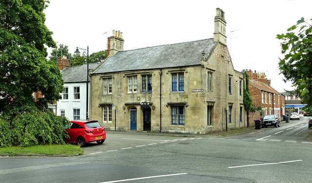
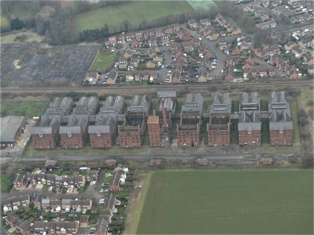
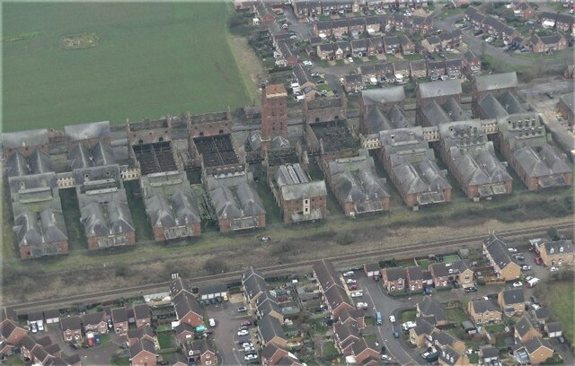
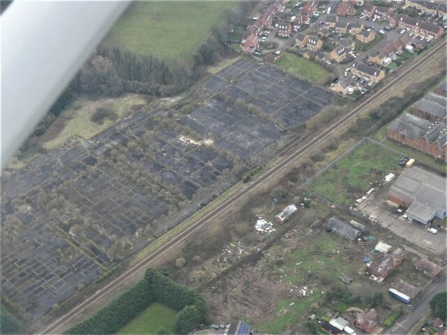
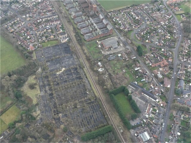
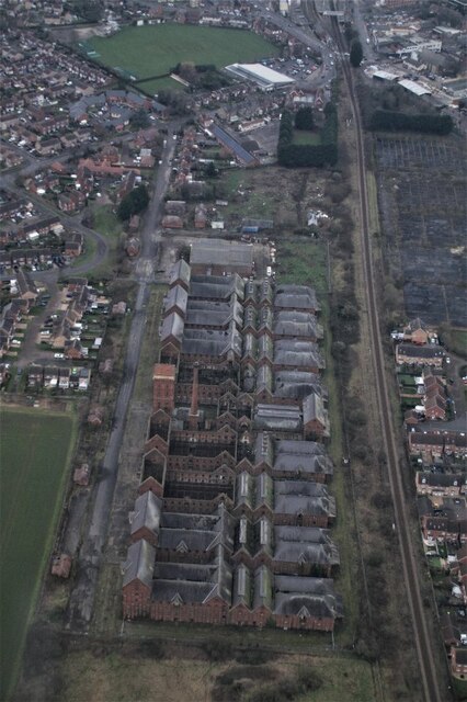
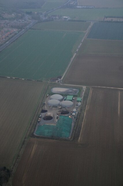
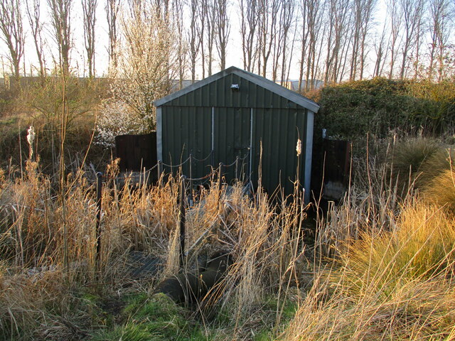
Westgate Park Images
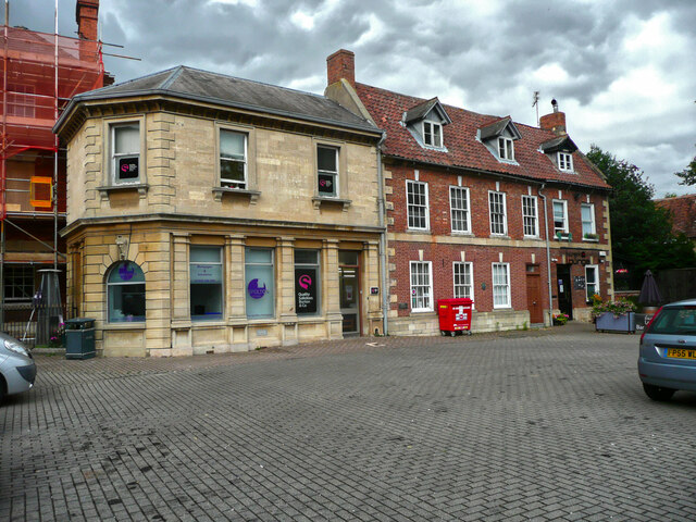
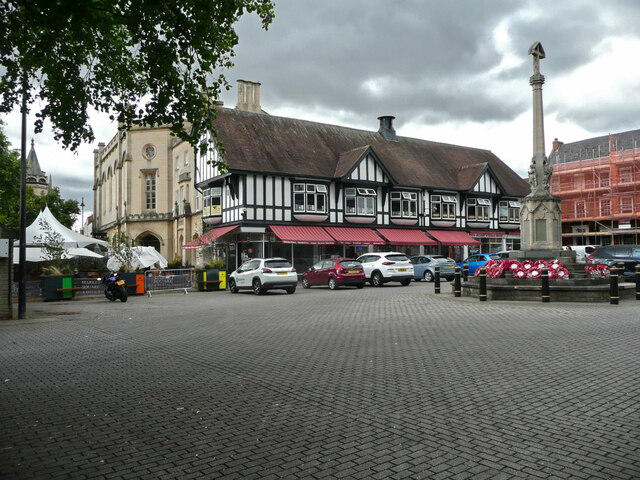
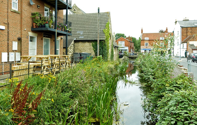
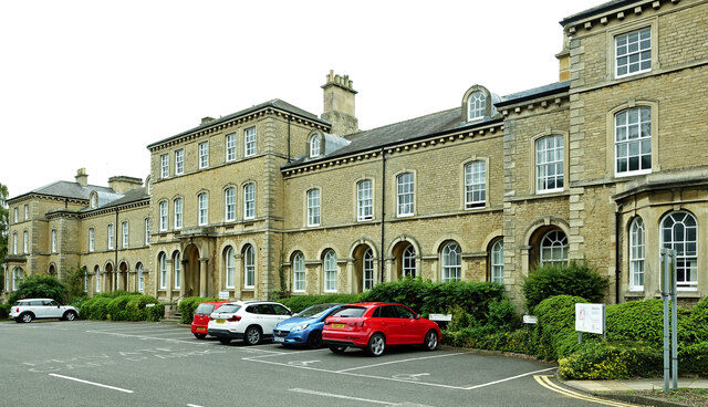
Images are sourced within 2km of 53.00111/-0.41584747 or Grid Reference TF0646. Thanks to Geograph Open Source API. All images are credited.


Westgate Park is located at Grid Ref: TF0646 (Lat: 53.00111, Lng: -0.41584747)
Administrative County: Lincolnshire
District: North Kesteven
Police Authority: Lincolnshire
What 3 Words
///swooning.clear.snooze. Near Sleaford, Lincolnshire
Nearby Locations
Related Wikis
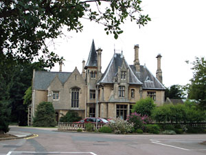
Westholme House
Westholme House is a historic building in the English market town of Sleaford in Lincolnshire, set in 32 acres of parkland and school grounds. Built around...

St George's Academy
St George's Academy is a co-educational comprehensive secondary school based in the English market town of Sleaford in Lincolnshire, with a satellite school...
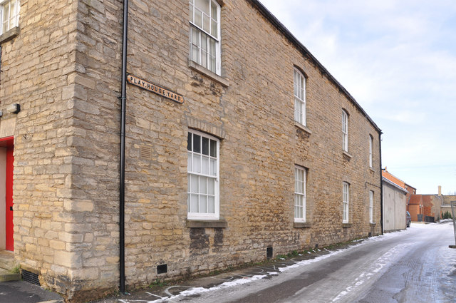
Playhouse, Sleaford
The Playhouse is a theatre in Sleaford, Lincolnshire, England. It is a Grade II listed Georgian building dating from 1820. The building became a school...

Manor House, Sleaford
The Manor House is a set of connected buildings located on Northgate in the English town of Sleaford, Lincolnshire. A complex arrangement, parts of the...
Nearby Amenities
Located within 500m of 53.00111,-0.41584747Have you been to Westgate Park?
Leave your review of Westgate Park below (or comments, questions and feedback).