Burn Field
Downs, Moorland in Yorkshire
England
Burn Field
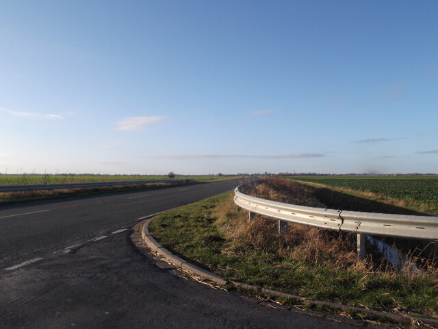
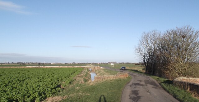
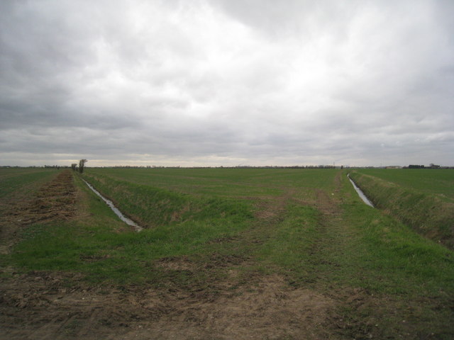
Burn Field is a picturesque area located in Yorkshire, England, known for its stunning landscapes that encompass both downs and moorland. Spanning approximately 10 square miles, this natural haven offers a diverse range of habitats, making it an attractive destination for nature enthusiasts and outdoor adventurers alike.
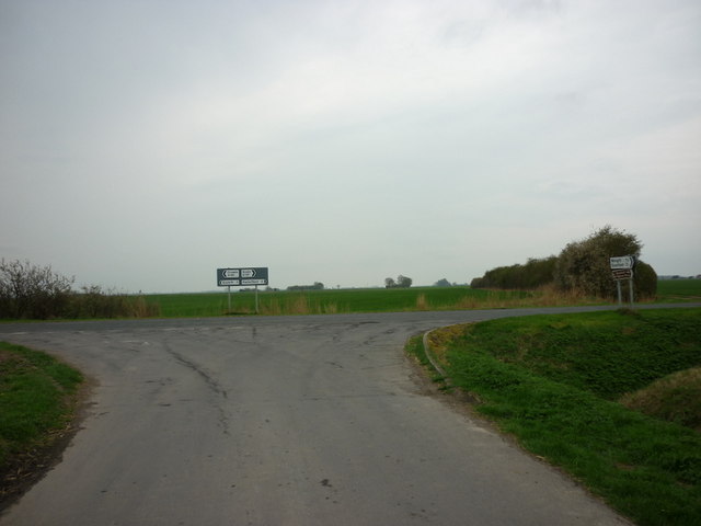
The downs of Burn Field are characterized by their gently rolling hills and expansive grasslands. These open spaces provide a serene backdrop for leisurely walks and picnics, offering breathtaking panoramic views of the surrounding countryside. The downs are dotted with wildflowers, adding vibrant splashes of color to the landscape during the spring and summer months.
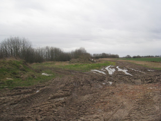
In contrast, the moorland of Burn Field showcases a more rugged and untamed side of nature. Here, visitors can explore vast stretches of heather-covered hills, interspersed with rocky outcrops and scattered trees. Moorland birds, such as grouse and curlews, can often be spotted soaring overhead, while the occasional glimpse of a hare or deer adds to the sense of wilderness.
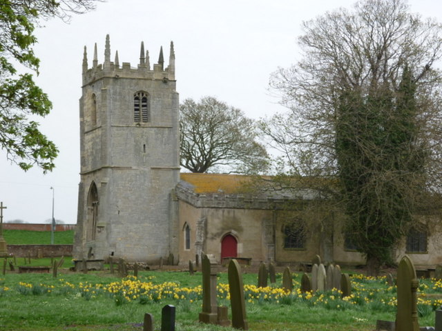
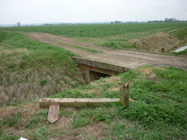
Burn Field is also home to several walking trails, ranging from easy strolls to more challenging hikes, allowing visitors to fully immerse themselves in the natural beauty of the area. These trails meander through the varied landscapes, offering glimpses of wildlife, ancient ruins, and historical landmarks along the way.
Whether it's enjoying a peaceful picnic on the downs, capturing stunning photographs of the moorland, or embarking on an adventurous hike, Burn Field offers a captivating experience for nature enthusiasts in the heart of Yorkshire.
If you have any feedback on the listing, please let us know in the comments section below.
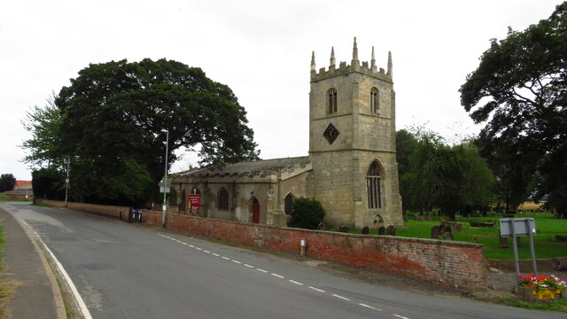
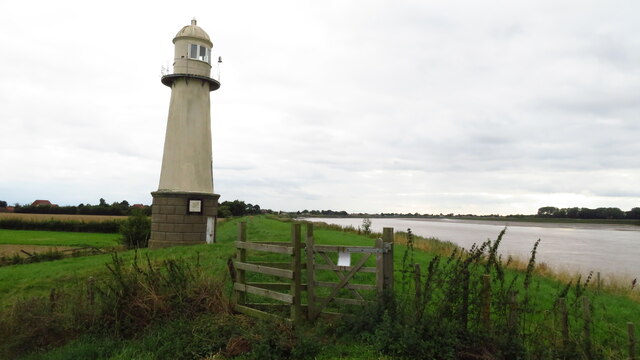
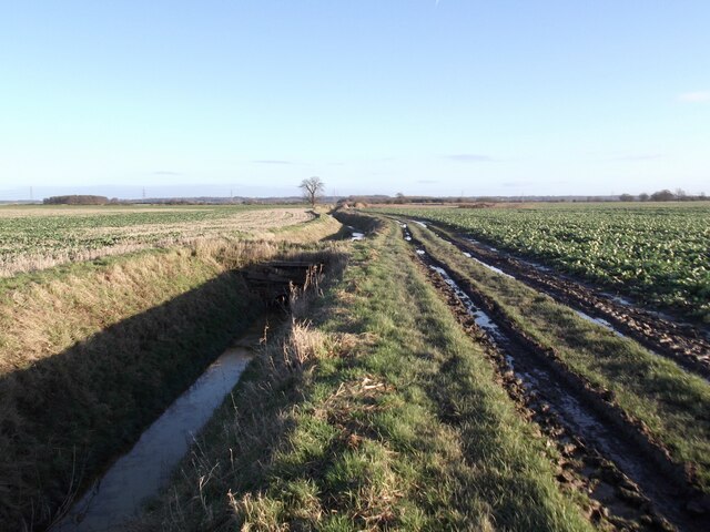
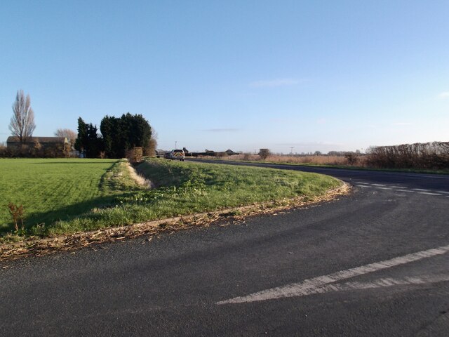
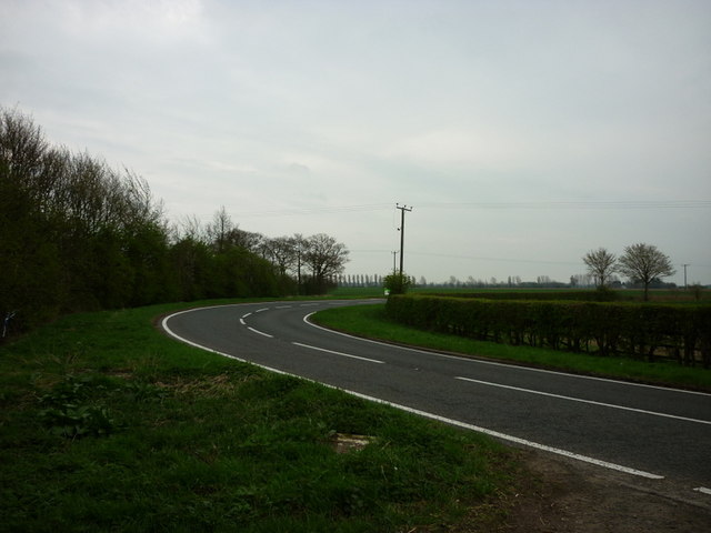
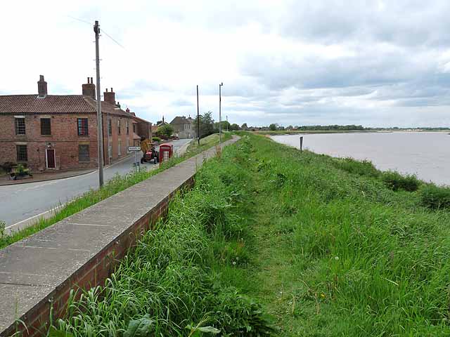
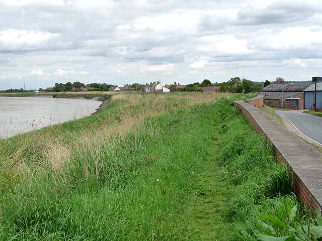
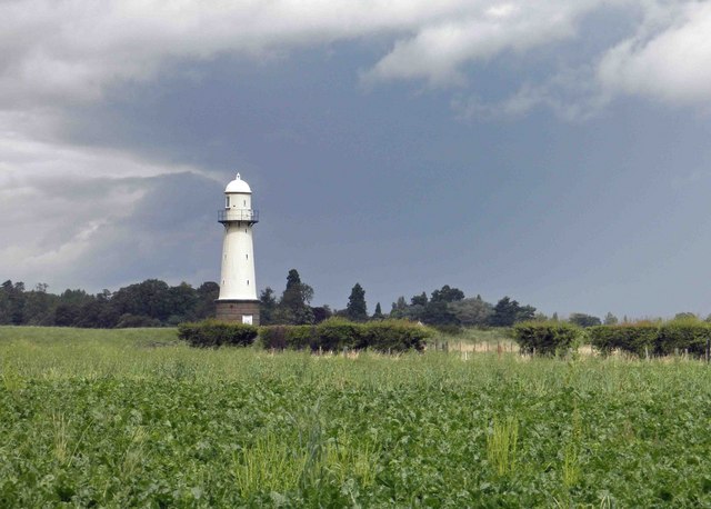
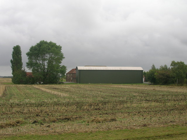
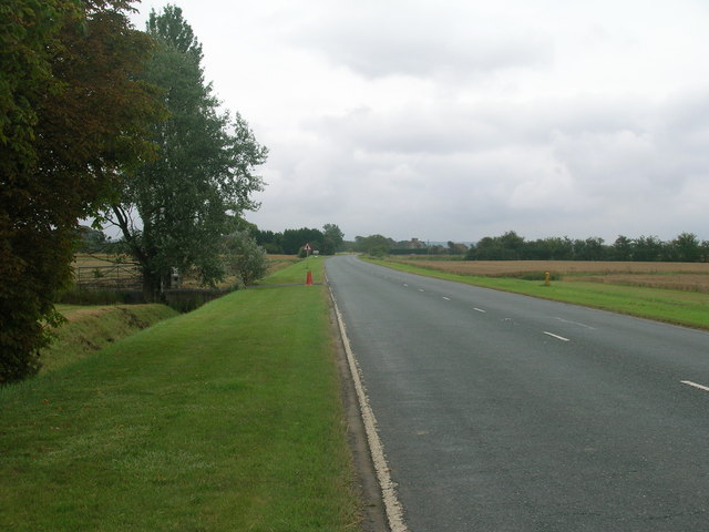
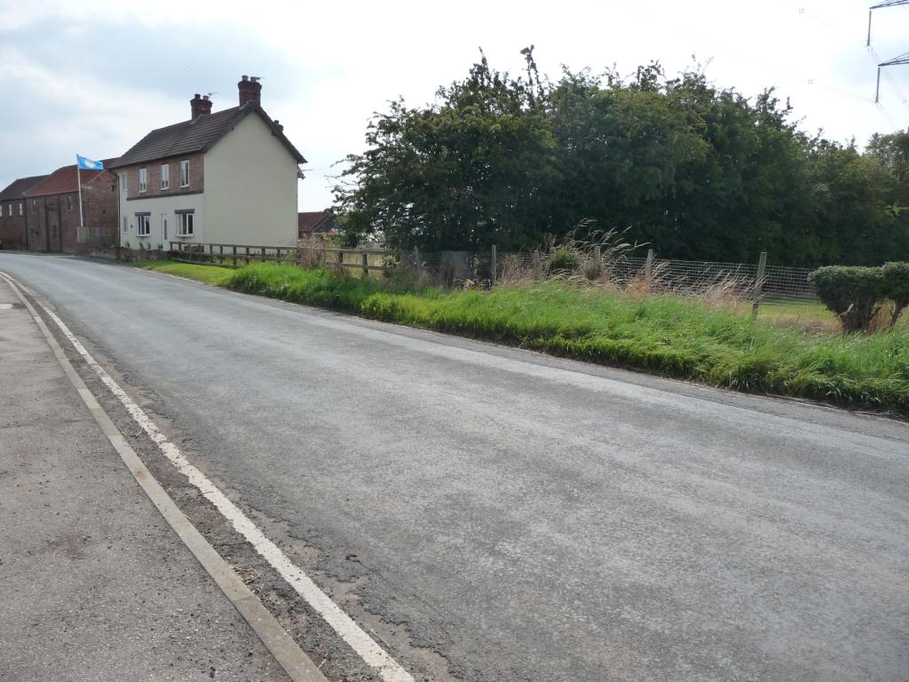
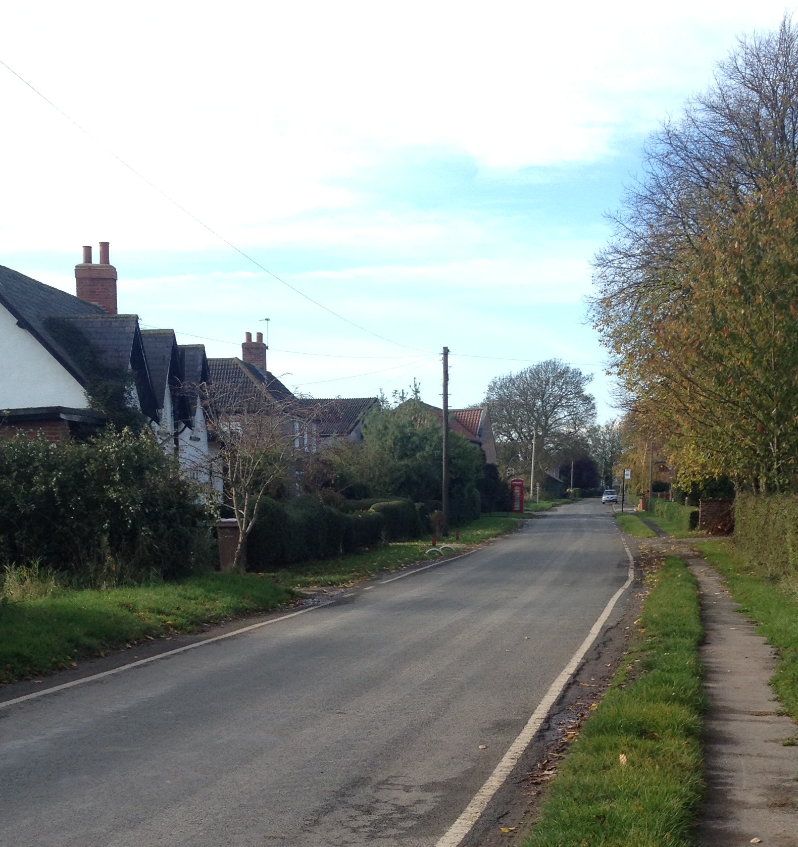
Burn Field Images
Images are sourced within 2km of 53.684923/-0.77181109 or Grid Reference SE8121. Thanks to Geograph Open Source API. All images are credited.
Burn Field is located at Grid Ref: SE8121 (Lat: 53.684923, Lng: -0.77181109)
Division: West Riding
Unitary Authority: East Riding of Yorkshire
Police Authority: Humberside
What 3 Words
///schools.lamp.outbursts. Near Laxton, East Yorkshire
Nearby Locations
Related Wikis

Whitgift, East Riding of Yorkshire
Whitgift is a small linear village and former civil parish, now in the parish of Twin Rivers, in the East Riding of Yorkshire, England approximately 4...

Little Reedness
Little Reedness is a hamlet in the East Riding of Yorkshire, England. It is situated approximately 3.5 miles (6 km) east of the town of Goole and lies...

Reedness
Reedness is a village and civil parish in the East Riding of Yorkshire, England. It is situated approximately 3 miles (4.8 km) east of the town of Goole...
Ousefleet
Ousefleet is a small hamlet and former civil parish, now in the parish of Twin Rivers, in the East Riding of Yorkshire, England approximately 5 miles...

Twin Rivers, East Riding of Yorkshire
Twin Rivers is a civil parish in the East Riding of Yorkshire, England. It is situated along the south bank of the River Ouse to the east of the town...
Yokefleet
Yokefleet (also known as Yorkfleet) is a hamlet and former civil parish, now in the parish of Blacktoft, in the East Riding of Yorkshire, England. A very...

Cotness
Cotness is a small hamlet in the East Riding of Yorkshire, England, it forms part of the civil parish of Laxton. It is situated just to the north of the...

Adlingfleet
Adlingfleet is a drained, fertile, former marshland village and former civil parish, now in the parish of Twin Rivers, in the East Riding of Yorkshire...
Have you been to Burn Field?
Leave your review of Burn Field below (or comments, questions and feedback).