Ashling Park
Downs, Moorland in Sussex Chichester
England
Ashling Park
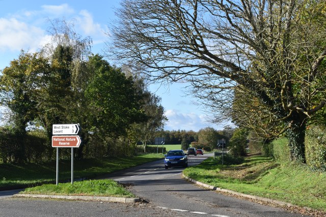
Ashling Park is a charming estate located in the heart of Sussex, England. Nestled amidst the rolling hills of the South Downs, this picturesque destination offers a unique blend of natural beauty and historical significance. Covering a vast area that includes downs and moorland, Ashling Park is a place of great ecological diversity.
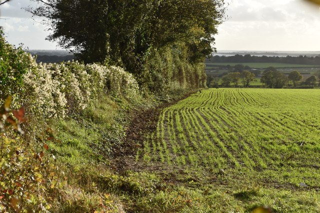
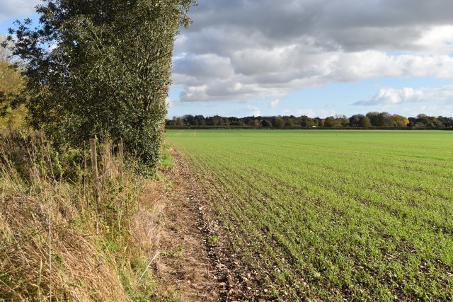
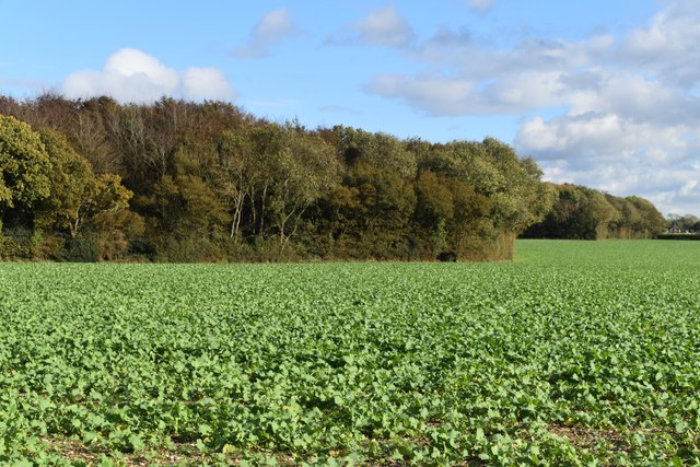
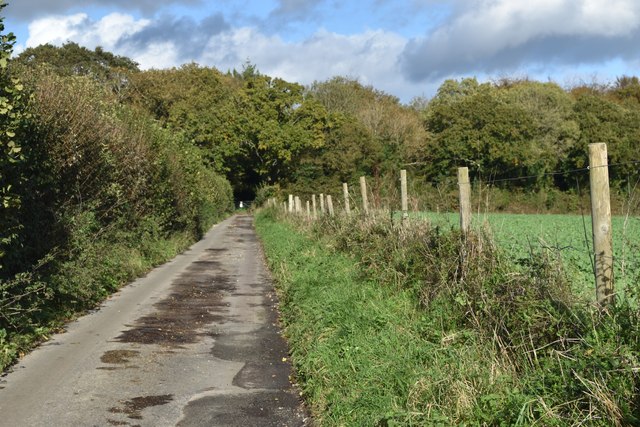
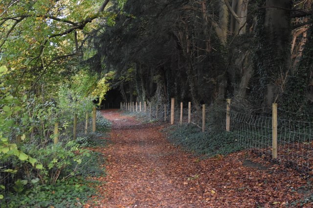
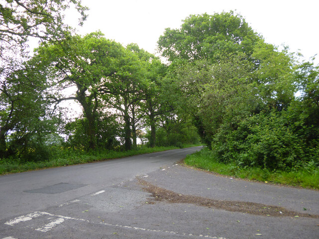
The estate is home to a variety of flora and fauna, with its extensive grasslands and heathlands providing a habitat for numerous species of plants and wildlife. Visitors can explore the rich moorland, which boasts an array of colorful wildflowers and rare orchids during the summer months. The downs, on the other hand, offer breathtaking panoramic views of the surrounding countryside, with its lush green hills stretching as far as the eye can see.
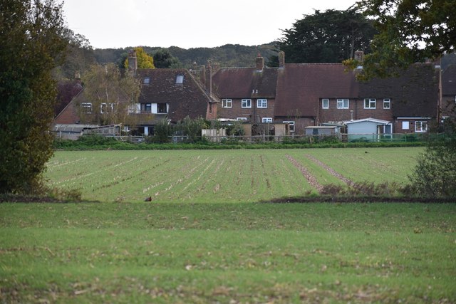
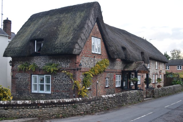
In addition to its natural wonders, Ashling Park is steeped in history. The estate dates back to the 16th century and has been owned by the same family for generations. The main house, a stunning Georgian mansion, stands as a testament to the architectural grandeur of the era. Its elegant gardens, complete with manicured lawns, vibrant flower beds, and tranquil ponds, provide a tranquil oasis for visitors to wander through.
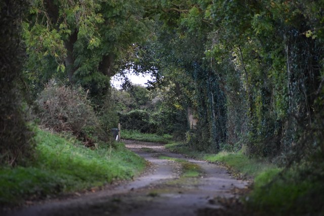
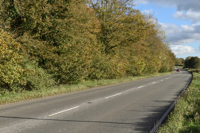
Ashling Park also offers various recreational activities for visitors to enjoy. From leisurely walks and picnics in the countryside to horse riding and cycling along the scenic trails, there is something to suit every outdoor enthusiast. The estate also hosts events throughout the year, including open-air concerts, art exhibitions, and food festivals, attracting locals and tourists alike.
Overall, Ashling Park is a captivating destination that seamlessly combines natural beauty, historical significance, and recreational opportunities. Whether one is seeking tranquility, adventure, or a glimpse into the past, this Sussex gem has something to offer everyone.
If you have any feedback on the listing, please let us know in the comments section below.
Ashling Park Images
Images are sourced within 2km of 50.864385/-0.84763674 or Grid Reference SU8107. Thanks to Geograph Open Source API. All images are credited.


Ashling Park is located at Grid Ref: SU8107 (Lat: 50.864385, Lng: -0.84763674)
Administrative County: West Sussex
District: Chichester
Police Authority: Sussex
What 3 Words
///heartened.flats.exchanges. Near Bosham, West Sussex
Nearby Locations
Related Wikis
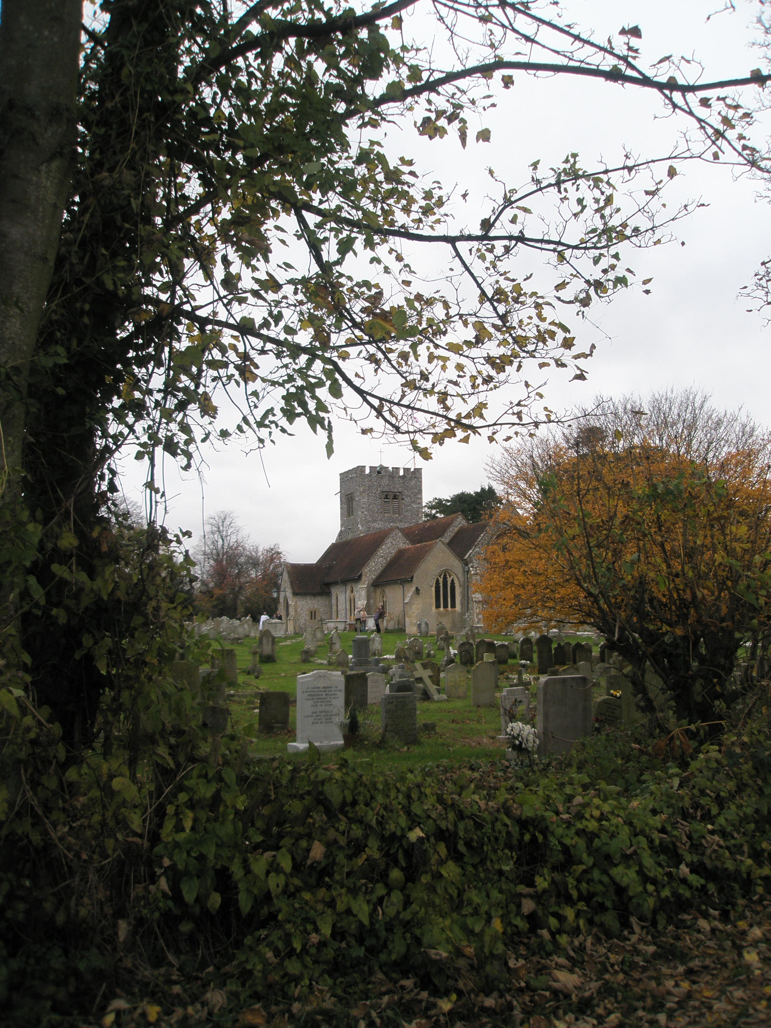
Funtington
Funtington is a village and civil parish in the Chichester district of West Sussex, England. It lies on the B2146 Road 4.5 miles (7.2 km) west of Chichester...

RAF Funtington
Royal Air Force Funtington or more simply RAF Funtington is a former Royal Air Force Advanced Landing Ground located in West Sussex, England. == History... ==

Chichester West (electoral division)
Chichester West is an electoral division of West Sussex in the United Kingdom, and returns one member to sit on West Sussex County Council. The current...

Bosham railway station
Bosham railway station serves the small village of Bosham in West Sussex, England. It is located on the West Coastway Line that runs between Brighton and...

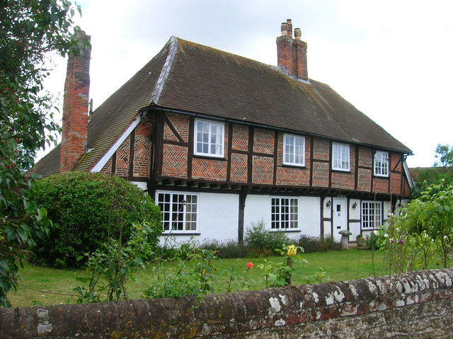
Sennicotts
Sennicotts is a small estate near Chichester, West Sussex, England, formed in 1809 by Charles Baker (1761–1839) having retired after serving in Madras...

Nutbourne railway station
Nutbourne railway station serves the village of Nutbourne, near Chichester in West Sussex, England. It is located on the West Coastway Line that runs between...
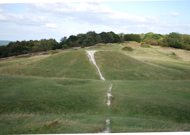
Devil's Humps, Stoughton
The Devil's Humps (also known as the Kings' Graves) are four Bronze Age barrows situated on Bow Hill on the South Downs near Stoughton, West Sussex. They...
Nutbourne, Chichester
Nutbourne is a village in the Chichester District of West Sussex, England located 2 miles (3.2 km) east of Emsworth on the A259 road. It is in the civil...
Related Videos


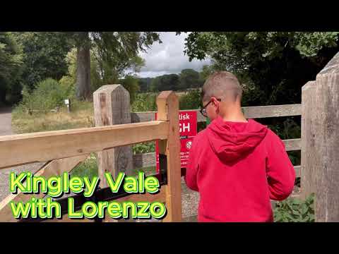
Lorenzo In Kingley Vale
A Nice walk in kingley vale with my son.
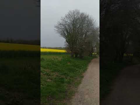
Country side relaxing Walk🌻
A nice walk in the English country side can be very relaxing, walking and listening to the birds and observing your surroundings...
Nearby Amenities
Located within 500m of 50.864385,-0.84763674Have you been to Ashling Park?
Leave your review of Ashling Park below (or comments, questions and feedback).