Loch Sgarabhat Mhòr
Lake, Pool, Pond, Freshwater Marsh in Ross-shire
Scotland
Loch Sgarabhat Mhòr
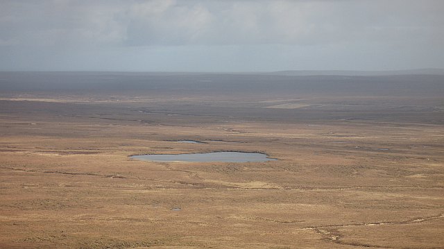
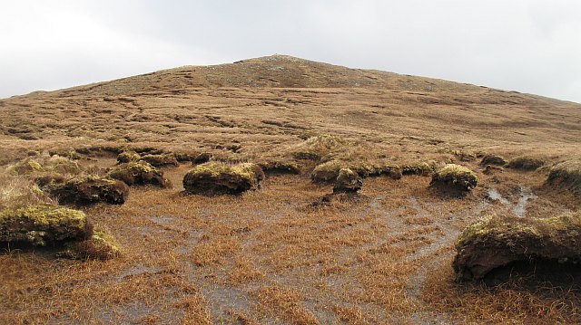
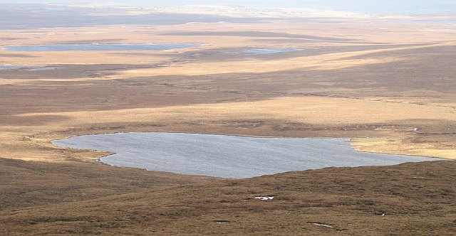
Loch Sgarabhat Mhòr is a picturesque freshwater loch located in the county of Ross-shire, Scotland. Nestled amidst the stunning Scottish Highlands, the loch is situated about 10 miles west of the town of Ullapool.
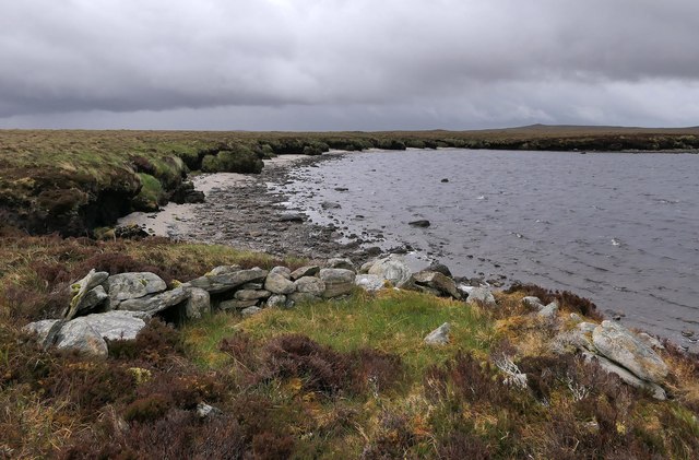
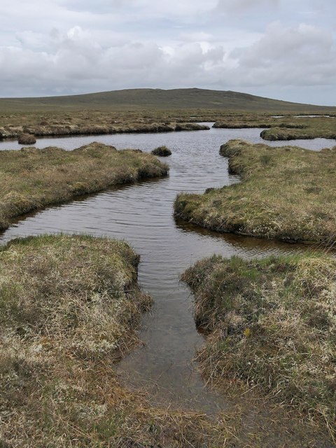
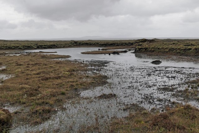
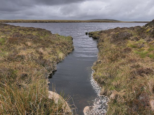
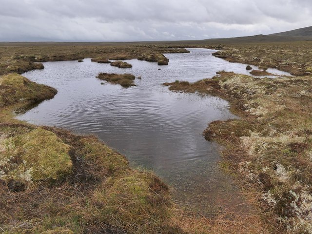
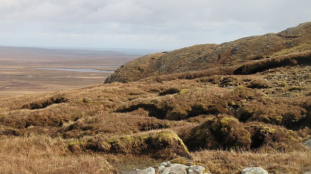
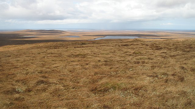
With a surface area of approximately 100 acres, Loch Sgarabhat Mhòr is relatively small compared to other lochs in the region. However, what it lacks in size, it more than makes up for in natural beauty. Surrounded by rolling hills and lush greenery, the loch offers a serene and tranquil atmosphere for visitors to enjoy.
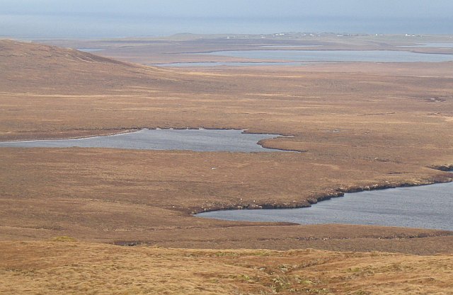
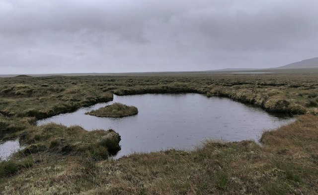
The crystal-clear waters of Loch Sgarabhat Mhòr are renowned for their purity and are home to a variety of freshwater fish species, including trout and salmon. The loch also serves as a habitat for several bird species, such as ducks, swans, and herons, making it a popular spot for birdwatching enthusiasts.
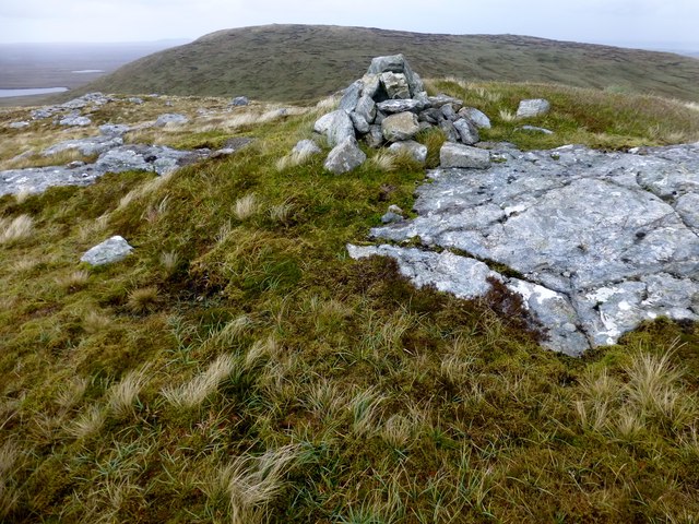
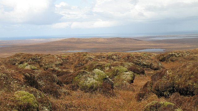
A picturesque woodland fringes the shores of the loch, providing a habitat for a diverse range of flora and fauna. Visitors can take leisurely walks along the designated trails, immersing themselves in the natural beauty of the area.
Loch Sgarabhat Mhòr is a popular destination for outdoor enthusiasts, offering opportunities for fishing, boating, and kayaking. The calm waters and scenic surroundings make it an ideal spot for a peaceful day out on the water.
In conclusion, Loch Sgarabhat Mhòr is a small yet enchanting freshwater loch situated in the heart of the Scottish Highlands. Its natural beauty, diverse wildlife, and recreational activities make it a must-visit destination for nature lovers and outdoor enthusiasts alike.
If you have any feedback on the listing, please let us know in the comments section below.
Loch Sgarabhat Mhòr Images
Images are sourced within 2km of 58.271516/-6.5079372 or Grid Reference NB3540. Thanks to Geograph Open Source API. All images are credited.
Loch Sgarabhat Mhòr is located at Grid Ref: NB3540 (Lat: 58.271516, Lng: -6.5079372)
Unitary Authority: Na h-Eileanan an Iar
Police Authority: Highlands and Islands
What 3 Words
///means.beep.skillet. Near Stornoway, Na h-Eileanan Siar
Nearby Locations
Related Wikis

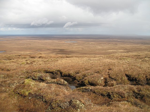
Lewis Peatlands
Lewis Peatlands (Scottish Gaelic: mòinteach Leòdhais) is a large area of blanket bog covering more than one third of the Isle of Lewis, off the west coast...

Newvalley, Lewis
Newvalley (Scottish Gaelic: An Gleann Ùr) is a hamlet on the Isle of Lewis in the Outer Hebrides, Scotland. Newvalley is within the parish of Stornoway...

Marybank, Lewis
Marybank (Scottish Gaelic: Bruach Màiri, IPA:[ˈpɾuəxˈmaːɾʲɪ]) is a settlement on the outskirts of Stornoway, Isle of Lewis in the Outer Hebrides of Scotland...

Newmarket, Lewis
Newmarket (; Scottish Gaelic: An Margaidh Ùr [ən̪ˠ ˈmaɾakaj ˈuːɾ]) is a village in the Outer Hebrides of Scotland, on the Isle of Lewis near Stornoway...

Lewis War Memorial
The Lewis War Memorial is a war memorial dedicated to the men from the Lewis area (Outer Hebrides, Scotland) who lost their lives in World War I and those...
Laxdale
Laxdale (Scottish Gaelic: Lacasdal) is a village in the Scottish Outer Hebrides, on the Isle of Lewis. Although nominally a distinct village, Laxdale is...
West Side, Lewis
The West Side (Scottish Gaelic: An Taobh Siar) is the name used for the (predominantly Gaelic-speaking) settlements along the NW coast of the Isle of Lewis...

Western Isles Hospital
The Western Isles Hospital (Scottish Gaelic: Ospadal nan Eilean Siar) is a rural general hospital in Stornoway on Lewis in the Western Isles of Scotland...
Have you been to Loch Sgarabhat Mhòr?
Leave your review of Loch Sgarabhat Mhòr below (or comments, questions and feedback).