Union Wood
Wood, Forest in Hertfordshire East Hertfordshire
England
Union Wood
Union Wood is a picturesque forest located in Hertfordshire, England. Covering an area of approximately 100 acres, it is a popular destination for nature lovers and outdoor enthusiasts. The wood is situated near the town of Hertford and is easily accessible by both car and public transportation.
The forest is characterized by its diverse range of trees, including oak, beech, and birch, which create a stunning canopy of foliage. These trees provide a habitat for various species of birds, insects, and mammals, making Union Wood a haven for wildlife. Visitors can often spot squirrels, foxes, and a variety of bird species as they explore the forest.
Union Wood offers a network of well-maintained walking trails that wind through its enchanting landscape. These trails cater to all levels of fitness and provide opportunities for leisurely strolls as well as more challenging hikes. Along the way, visitors can enjoy the tranquility of the forest, breathe in the fresh air, and admire the natural beauty that surrounds them.
The wood is also home to a number of ancient features, including remnants of old settlements and historical landmarks. These add a sense of intrigue and historical significance to the area, making it an interesting destination for history enthusiasts.
Overall, Union Wood is a hidden gem in Hertfordshire, offering a peaceful escape from the hustle and bustle of everyday life. With its breathtaking scenery, diverse wildlife, and rich history, it is a must-visit location for anyone seeking a connection with nature and a glimpse into the past.
If you have any feedback on the listing, please let us know in the comments section below.
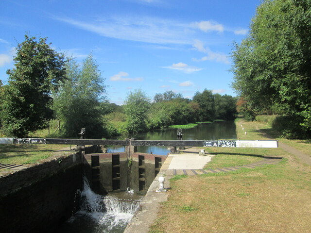
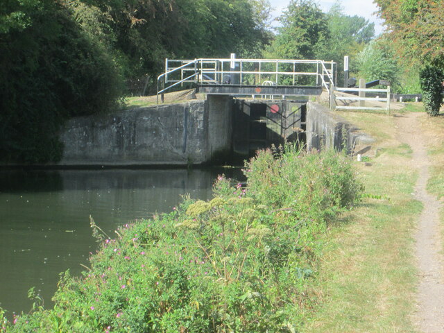
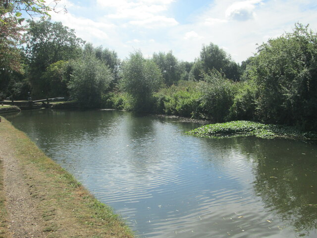
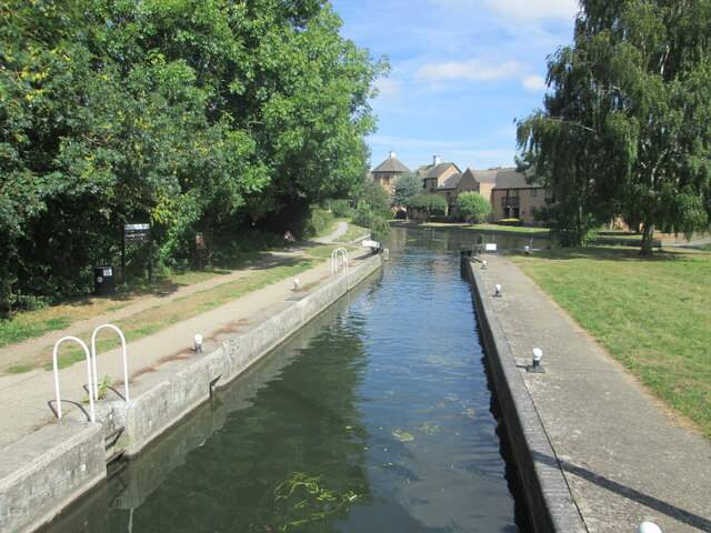
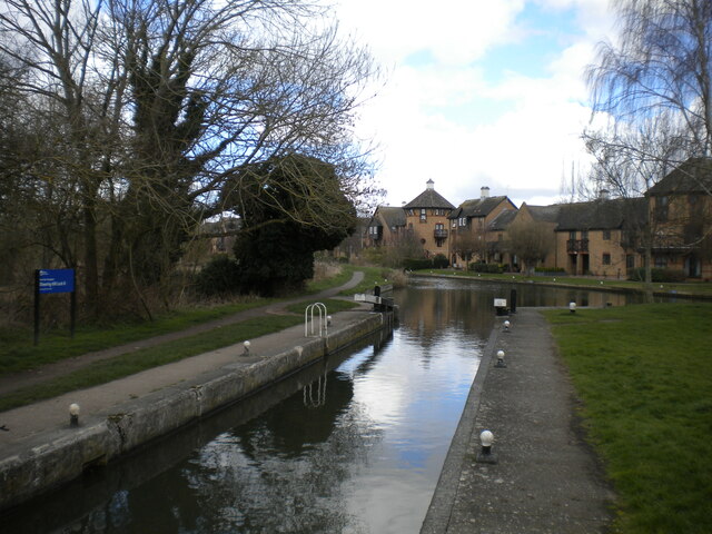
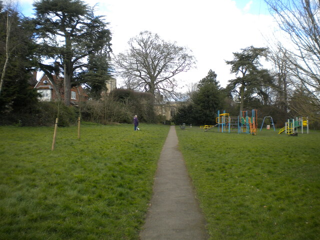
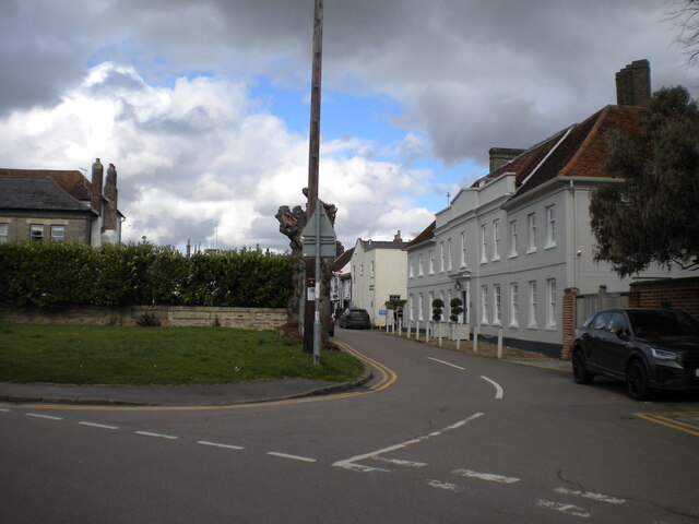
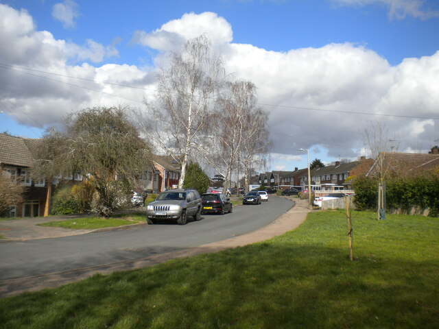
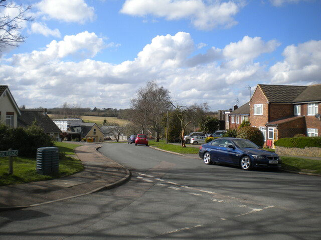
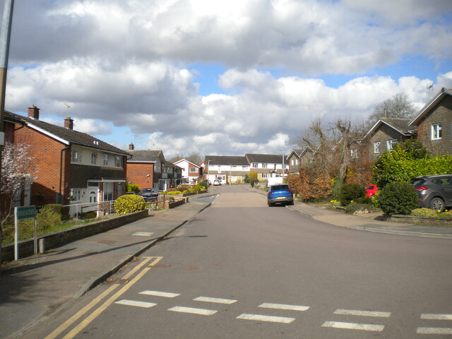
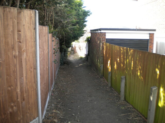
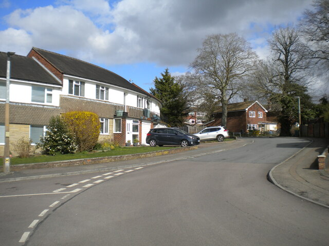
Union Wood Images
Images are sourced within 2km of 51.799183/0.13687174 or Grid Reference TL4713. Thanks to Geograph Open Source API. All images are credited.
Union Wood is located at Grid Ref: TL4713 (Lat: 51.799183, Lng: 0.13687174)
Administrative County: Hertfordshire
District: East Hertfordshire
Police Authority: Hertfordshire
What 3 Words
///paid.insist.rooms. Near Old Harlow, Essex
Nearby Locations
Related Wikis
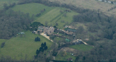
Rowneybury House
Rowneybury House is a house in Sawbridgeworth, Hertfordshire, England. The property on which Rowneybury stands was part of Pishiobury before being divided...

Pincey Brook
Pincey Brook is a watercourse in the Uttlesford and Epping Forest districts of Essex, England, and is a tributary to the River Stort. == Course == Pincey...

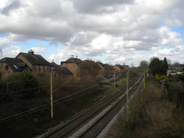
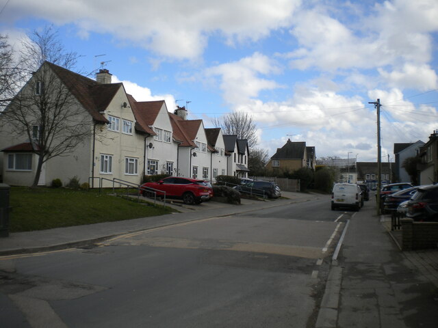
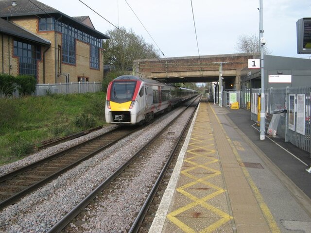
Harlow Mill railway station
Harlow Mill railway station is on the West Anglia Main Line serving the eastern part of Harlow in Essex, England. It is 24 miles 36 chains (39.3 km) down...
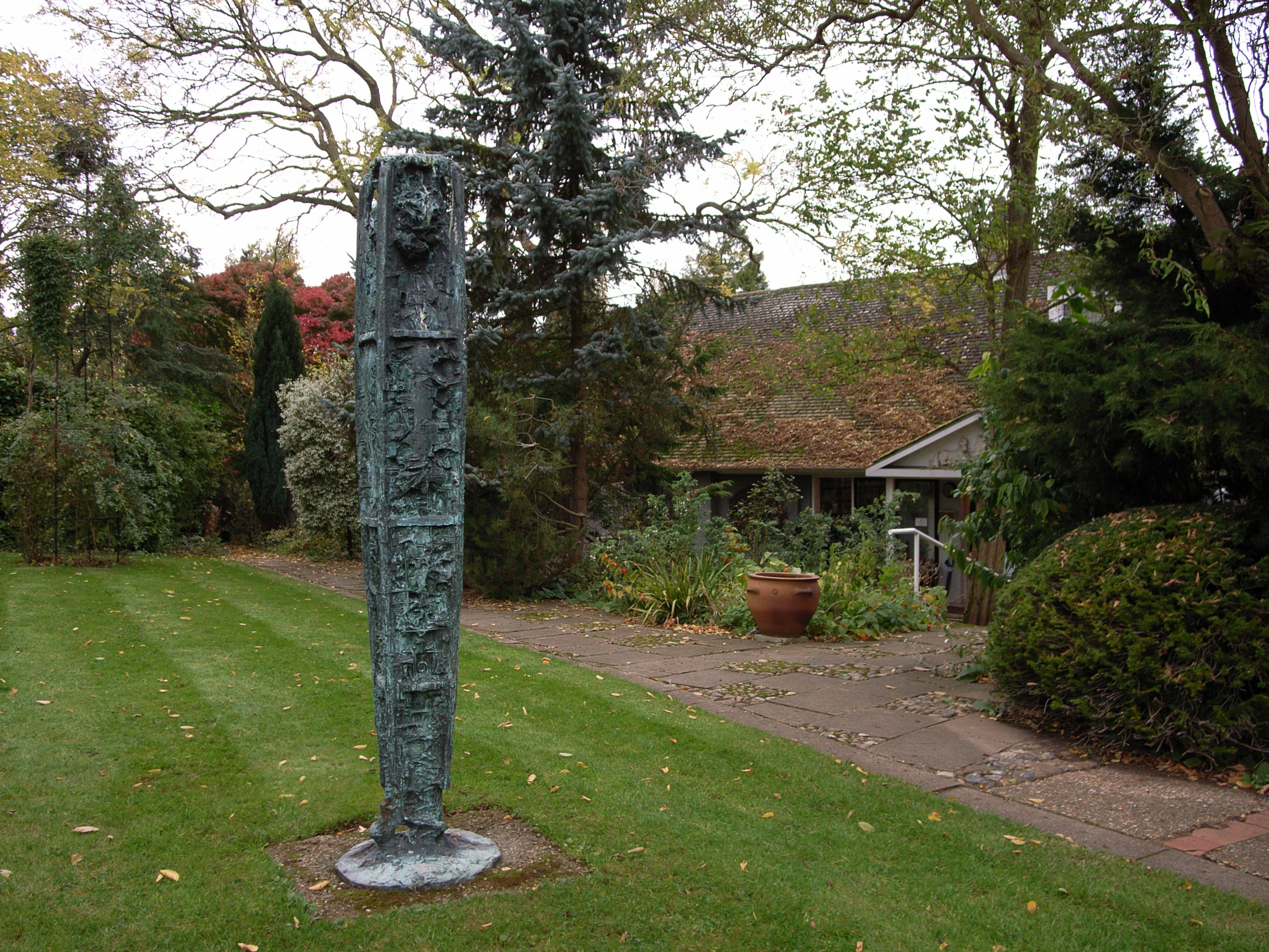
Gibberd Garden
Gibberd Garden is a garden in Harlow, Essex, England, which was created by Sir Frederick Gibberd (the planner of Harlow New Town) and his wife Patricia...
Nearby Amenities
Located within 500m of 51.799183,0.13687174Have you been to Union Wood?
Leave your review of Union Wood below (or comments, questions and feedback).