Parr's Warren
Wood, Forest in Staffordshire Cannock Chase
England
Parr's Warren
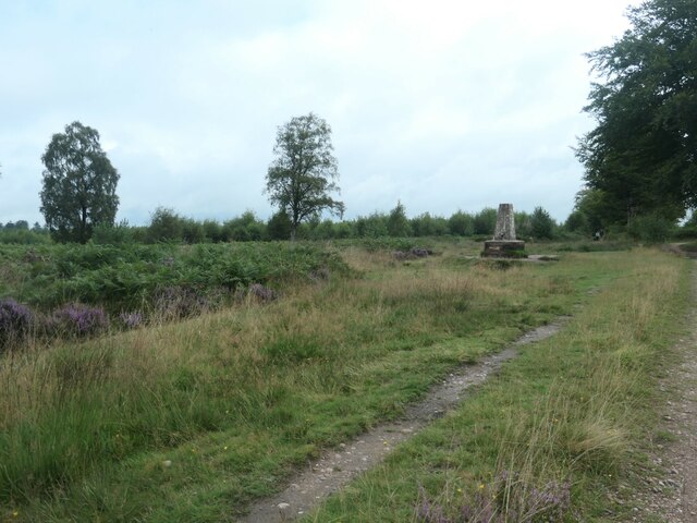
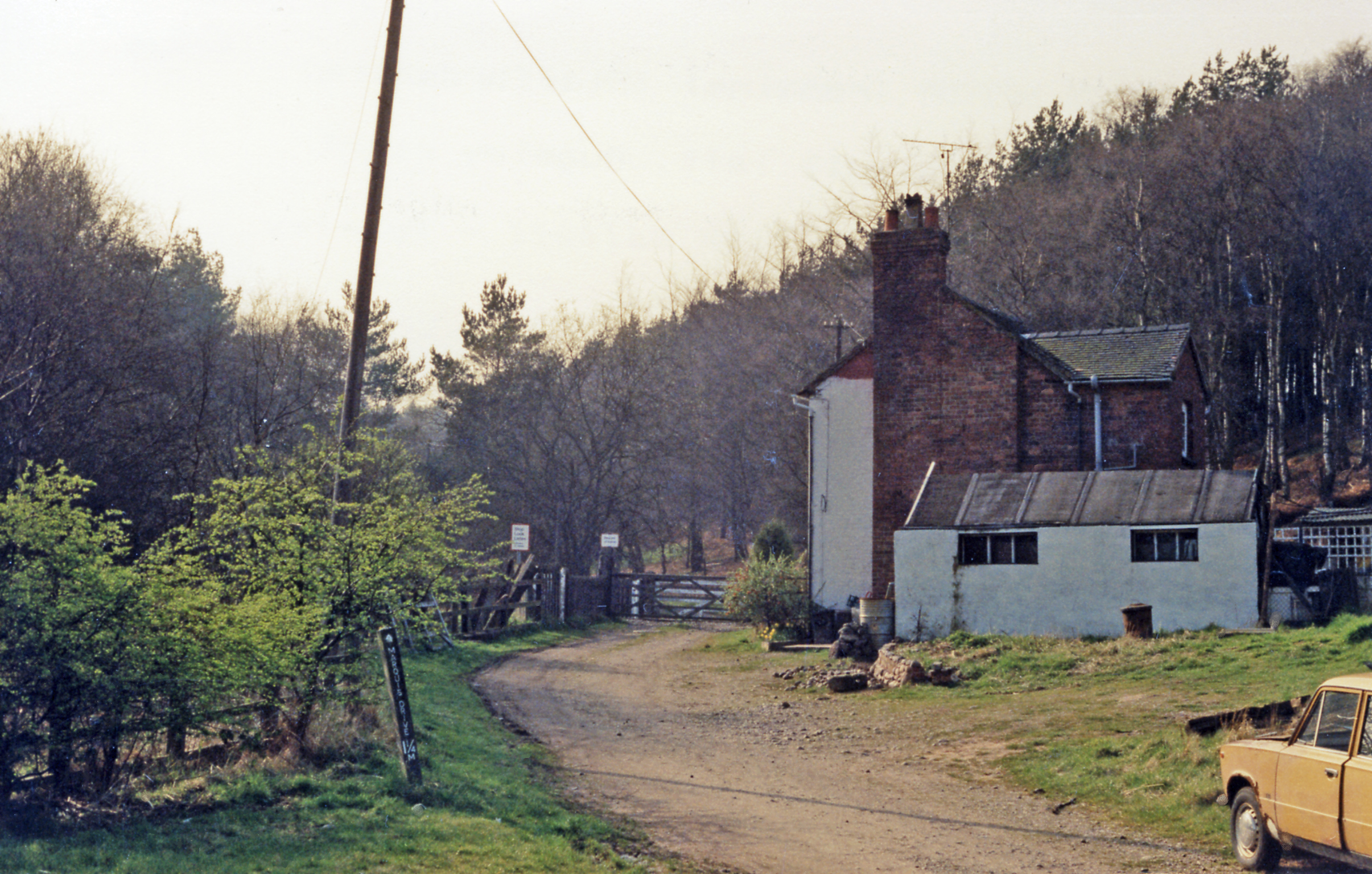
Parr's Warren is a woodland area located in Staffordshire, England. Situated within the county's stunning countryside, it covers a significant area of approximately 200 acres. The woodland is known for its abundant wildlife and diverse ecosystem, making it a popular destination for nature enthusiasts and outdoor enthusiasts alike.
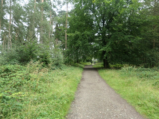
The forest area is characterized by a dense canopy of trees, predominantly consisting of oak, beech, and birch. These trees provide a habitat for a wide range of flora and fauna, including various species of birds, mammals, and insects. Rare and protected species such as red deer, badgers, and foxes can be spotted roaming the forest floor, contributing to the area's rich biodiversity.
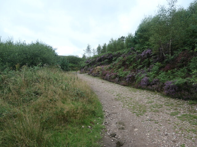
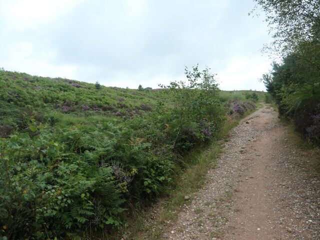
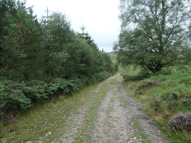
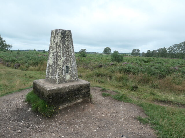
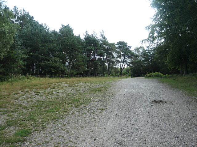
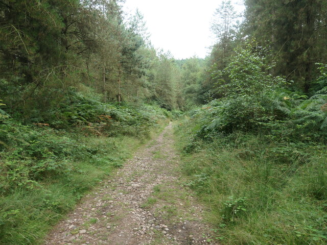
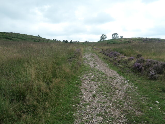
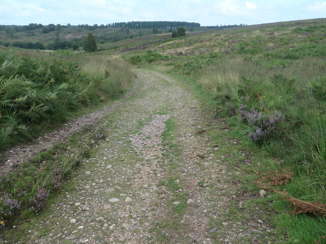
Visitors to Parr's Warren can enjoy a variety of activities such as hiking, cycling, and picnicking. The woodland is crisscrossed by well-maintained trails, allowing visitors to explore the area and immerse themselves in the natural beauty of the surroundings. The peaceful ambiance of the woodland provides an ideal setting for those seeking tranquility and solitude.
The management of Parr's Warren is overseen by the local Staffordshire Wildlife Trust, ensuring the protection and preservation of the woodland's delicate ecosystem. Regular conservation efforts are carried out to maintain the balance of the woodland and protect its inhabitants.
Overall, Parr's Warren is a stunning woodland area in Staffordshire, offering a haven for wildlife and a serene escape for visitors. With its diverse flora and fauna, well-maintained trails, and tranquil atmosphere, it is a must-visit destination for nature lovers and outdoor enthusiasts in Staffordshire.
If you have any feedback on the listing, please let us know in the comments section below.
Parr's Warren Images
Images are sourced within 2km of 52.75103/-2.0103431 or Grid Reference SJ9917. Thanks to Geograph Open Source API. All images are credited.
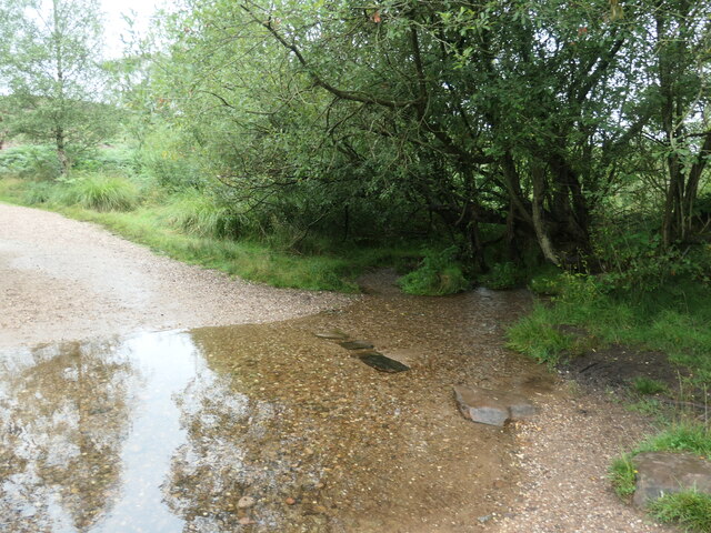
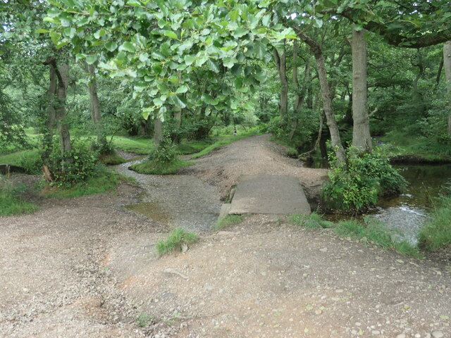
![Sher Brook, at the stepping stones Looking upstream [locally south].](https://s1.geograph.org.uk/geophotos/06/94/54/6945489_b6c7d9b6.jpg)
![Sher Brook, looking downstream [locally north] The brook is a civil parish boundary here, between Brocton and Rugeley.](https://s1.geograph.org.uk/geophotos/06/94/91/6949105_1d41f530.jpg)
Parr's Warren is located at Grid Ref: SJ9917 (Lat: 52.75103, Lng: -2.0103431)
Administrative County: Staffordshire
District: Cannock Chase
Police Authority: Staffordshire
What 3 Words
///hatter.listen.bedspread. Near Colwich, Staffordshire
Nearby Locations
Related Wikis

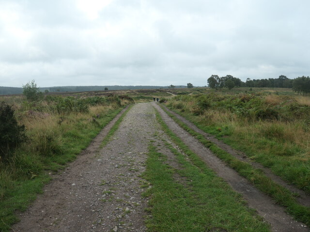
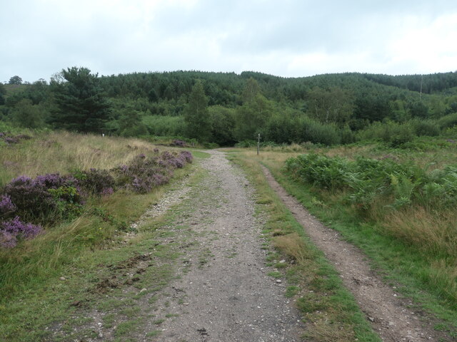
Cannock Chase
Cannock Chase (grid reference SK000165), often referred to locally as The Chase, is a mixed area of countryside in the county of Staffordshire, England...

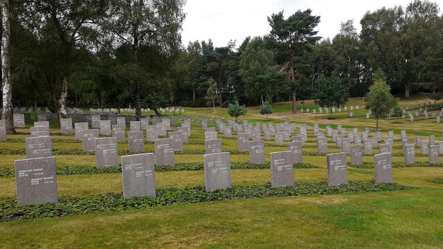
Cannock Chase German Military Cemetery
The Cannock Chase German Military Cemetery (grid reference SJ984157) is on Cannock Chase, Staffordshire, England. The cemetery contains nearly 5,000 burials...

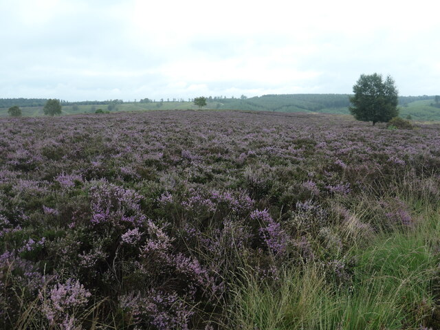
Brindley Heath
Brindley Heath is an area of heath land on Cannock Chase situated between Hednesford and Rugeley in the Cannock Chase District of Staffordshire, England...

Pye Green BT Tower
Pye Green BT Tower is a 96.9-metre (318 ft) tall telecommunication tower built of reinforced concrete at Pye Green, Staffordshire, England (grid reference...
Brindley Heath railway station
Brindley Heath railway station served the civil parish of Brindley Heath, Staffordshire, England from 1939 to 1959 on the Chase Line. == History == The...

Brocton, Staffordshire
Brocton is a village and civil parish in the English county of Staffordshire. It is within the borough of Stafford. The village describes itself as the...

Cannock Chase District
Cannock Chase is a local government district in Staffordshire, England. Its council is based in the town of Cannock; other notable towns are Rugeley, Bridgtown...

Slitting Mill
Slitting Mill is a small village on the outskirts of Rugeley, Staffordshire. At the 2001 census, it had a population of 265.The village is within Rugeley...
Nearby Amenities
Located within 500m of 52.75103,-2.0103431Have you been to Parr's Warren?
Leave your review of Parr's Warren below (or comments, questions and feedback).