Swanley Covert
Wood, Forest in Cheshire
England
Swanley Covert
Swanley Covert is a picturesque woodland located in the county of Cheshire, England. Spanning over a vast area, it is an enchanting retreat for nature enthusiasts and a haven for wildlife. The woodland is nestled on the outskirts of the village of Swanley, surrounded by rolling countryside and offering a tranquil escape from the bustling city life.
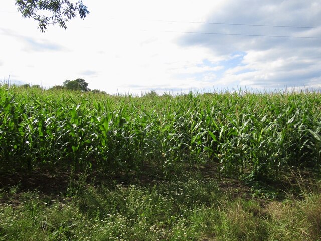
The Covert boasts a diverse range of tree species, including oak, beech, and birch, creating a stunning canopy of vibrant colors throughout the year. The forest floor is adorned with a rich carpet of wildflowers, adding to the beauty of the landscape. Walking trails wind their way through the woodland, providing visitors with the opportunity to explore its hidden corners and discover its hidden treasures.
The forest is home to a plethora of wildlife, making it a must-visit destination for animal lovers. It is not uncommon to spot deer, foxes, and squirrels frolicking amidst the trees, and birdwatchers will delight in the sight of various avian species, such as woodpeckers and owls. Swanley Covert is also home to a number of rare and endangered species, further emphasizing the importance of its conservation efforts.
The woodland offers visitors a range of recreational activities, from peaceful picnics to exhilarating hikes. It is a popular spot for family outings, with designated play areas and picnic spots scattered throughout the forest. Educational programs are also organized to raise awareness about the importance of preserving the natural habitat and its inhabitants.
Swanley Covert, with its idyllic setting and abundant wildlife, is a true gem in Cheshire's countryside. Whether you seek solace in nature or wish to engage in outdoor activities, this woodland offers an unforgettable experience for all.
If you have any feedback on the listing, please let us know in the comments section below.
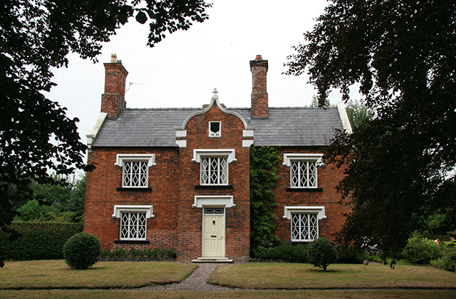
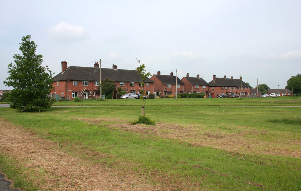
Swanley Covert Images
Images are sourced within 2km of 53.071885/-2.5793428 or Grid Reference SJ6152. Thanks to Geograph Open Source API. All images are credited.


Swanley Covert is located at Grid Ref: SJ6152 (Lat: 53.071885, Lng: -2.5793428)
Unitary Authority: Cheshire East
Police Authority: Cheshire
What 3 Words
///strapped.convinces.rumble. Near Nantwich, Cheshire
Nearby Locations
Related Wikis
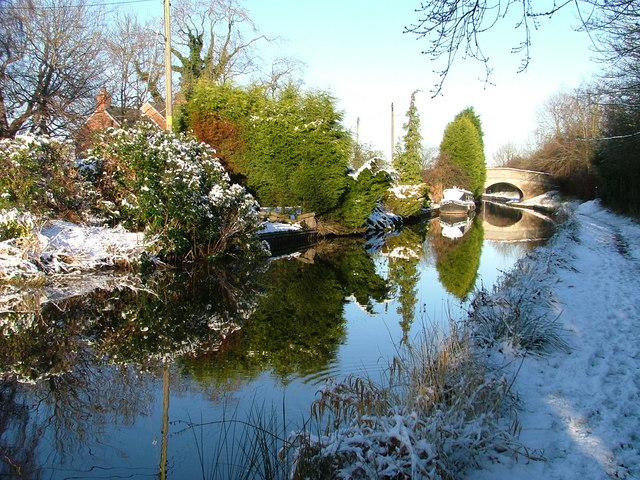
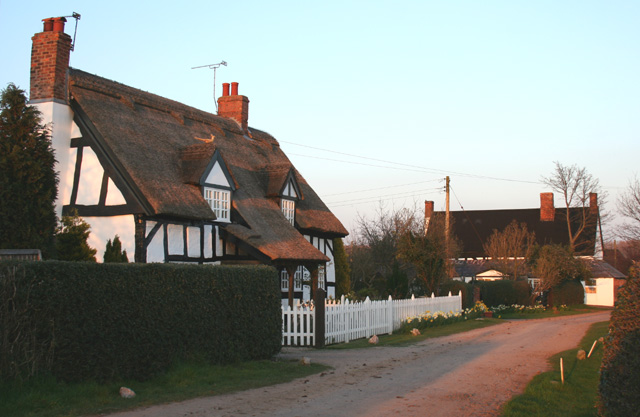
Swanley, Cheshire
Swanley is a hamlet at SJ618523 in the unitary authority of Cheshire East and the ceremonial county of Cheshire, England. It mainly falls within the civil...

Ravensmoor Windmill
Ravensmoor Windmill is a former windmill located to the south of Wrexham Road (A534) between the villages of Acton and Burland, Cheshire, England. It...
Burland
Burland is a village and former civil parish, now in the parish of Burland and Acton, in the unitary authority area of Cheshire East and the ceremonial...
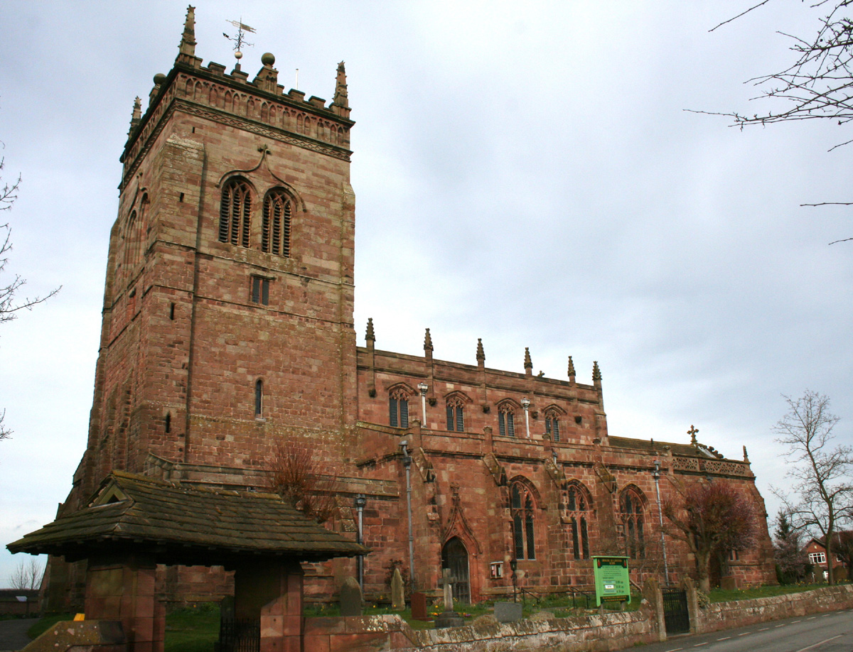
St Mary's Church, Acton
St Mary's Church is an active Anglican parish church located in Monk's Lane, Acton, a village to the west of Nantwich, Cheshire, England. Since 1967 it...
Snugburys
Snugburys is an English ice cream manufacturer based at Park Farm in Hurleston, near Nantwich, in the county of Cheshire. Snugburys makes over 35 flavours...

Acton, Cheshire (ancient parish)
Acton was an ancient parish in the Nantwich Hundred of Cheshire, England.At one time it included the townships of Acton, Aston juxta Mondrum, Austerson...
Brindley
Brindley is a village (at SJ592534) and civil parish in Cheshire, England. The village lies 3¾ miles to the west of Nantwich. The parish also includes...

Acton, Cheshire
Acton is a small village and former civil parish, now in the parish of Burland and Acton, lying immediately west of the town of Nantwich, in the unitary...
Nearby Amenities
Located within 500m of 53.071885,-2.5793428Have you been to Swanley Covert?
Leave your review of Swanley Covert below (or comments, questions and feedback).