Norcross Wood

Wood, Forest in Lancashire Ribble Valley

England

Norcross Wood

Approaching Daniel's Farm
Approaching Daniel's Farm Credit: Chris Heaton

Norcross Wood is a charming woodland located in the county of Lancashire, England. Spanning over an area of approximately 100 acres, it is a part of the larger Norcross Hill Forest. The wood is situated on the outskirts of the village of Norcross, near the town of Thornton-Cleveleys.

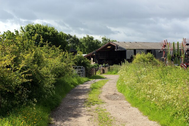
This ancient woodland is known for its diverse range of trees, including oak, birch, beech, and conifers. The dense foliage creates a serene and tranquil atmosphere, making it a popular destination for nature lovers and hikers. The wood is also home to a variety of wildlife, such as deer, squirrels, rabbits, and a plethora of bird species.

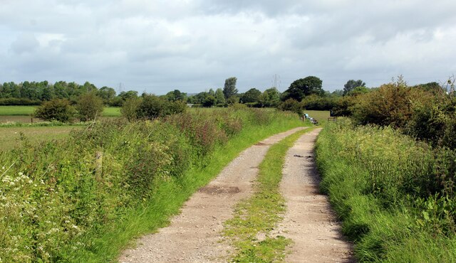
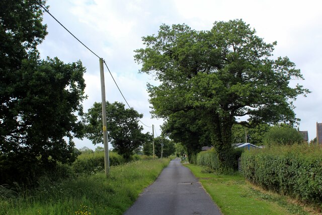
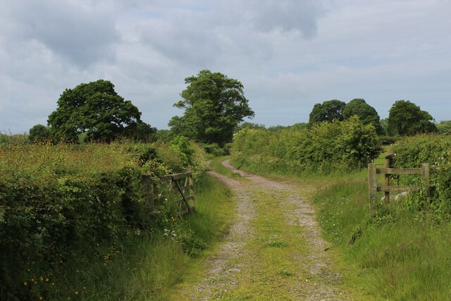
Visitors to Norcross Wood can explore the numerous walking trails that wind through the forest, offering stunning views of the surroundings and ample opportunities for birdwatching and photography. The wood is well-maintained, with clear pathways and informative signposts providing information about the local flora and fauna.

The wood is open to the public year-round and is free to enter, making it an accessible destination for families and outdoor enthusiasts. It is advised to wear appropriate footwear and clothing, as some trails can be muddy, especially during rainy seasons.

Norcross Wood offers a peaceful retreat from the hustle and bustle of daily life, providing a chance to reconnect with nature and enjoy the beauty of Lancashire's countryside. Whether it's a leisurely stroll or a more challenging hike, this woodland has something to offer for everyone seeking solace in the great outdoors.

If you have any feedback on the listing, please let us know in the comments section below.

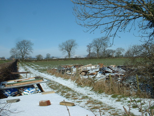
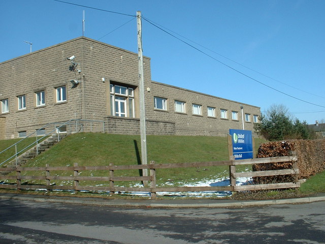
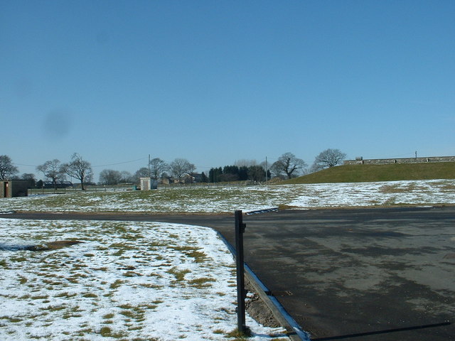
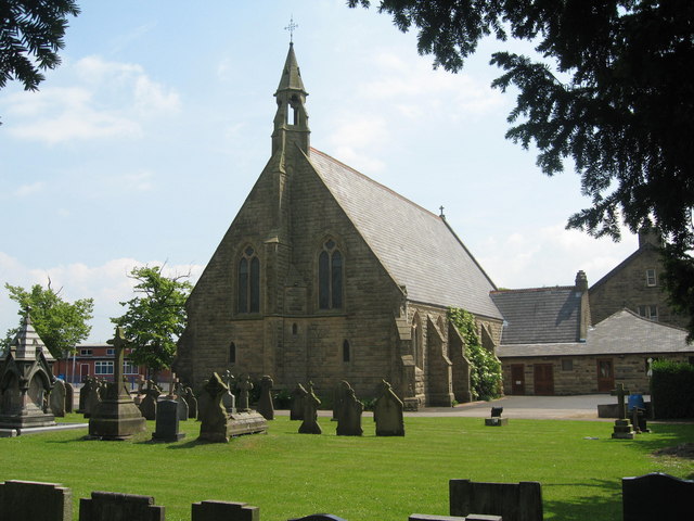
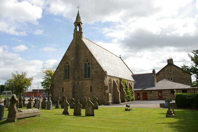
Norcross Wood Images

Images are sourced within 2km of 53.809928/-2.5895358 or Grid Reference SD6135. Thanks to Geograph Open Source API. All images are credited.

Approaching Daniel's Farm
Track leading away from Daniel's Farm
Our Lady and St. Michael Roman Catholic Church Grade II Listed building dating from 1856, replacing an earlier church founded in 1765.
Located on Alston Lane near Grimsargh.
Our Lady and St. Michael Roman Catholic Church
Grade II Listed building dating from 1856, replacing an earlier church founded in 1765. Located on Alston Lane near Grimsargh.
Access Lane to Wood Farm
Farm Track leading towards Elston Lane
Farm Junk near Grimsargh Reservoirs The reservoirs are just to the left, but I could not access them to get a view
Farm Junk near Grimsargh Reservoirs
The reservoirs are just to the left, but I could not access them to get a view
White Bull Water Treatment Works Named after the nearby pub.
White Bull Water Treatment Works
Named after the nearby pub.
White Bull Reservoir Bank A view into the grounds of the water treatment works.
White Bull Reservoir Bank
A view into the grounds of the water treatment works.
Church and Graveyard on Preston Road
Our Lady & St Michael RC Church, Grimsargh
The east bank of Grimsargh Reservoir
Water Treatment Works on Preston Road On the B6243 west of Longridge.
Water Treatment Works on Preston Road
On the B6243 west of Longridge.
Preston Road, near Grimsargh The B6243 looking southwest towards Preston, with the junction left going to Alston Hall.
Preston Road, near Grimsargh
The B6243 looking southwest towards Preston, with the junction left going to Alston Hall.
House on the B6243, Grimsargh
Entering Grimsargh Heading south west on the B6243.
Entering Grimsargh
Heading south west on the B6243.
Heading north east from Grimsargh On the B6243.
Heading north east from Grimsargh
On the B6243.
Entering the Borough of Ribble Valley Heading north east from Grimsargh on Preston Road (B6243).
Entering the Borough of Ribble Valley
Heading north east from Grimsargh on Preston Road (B6243).
House on Preston Road (B6243)
Show me another place!

Norcross Wood is located at Grid Ref: SD6135 (Lat: 53.809928, Lng: -2.5895358)

Administrative County: Lancashire

District: Ribble Valley

Police Authority: Lancashire

What 3 Words

///headrest.lobbed.zoomed. Near Longridge, Lancashire

Nearby Locations

Norcross Wood

Related Wikis

Have you been to Norcross Wood?

Leave your review of Norcross Wood below (or comments, questions and feedback).