Butts Plantation

Wood, Forest in Westmorland Eden

England

Butts Plantation

Barns at Llittlebeck
Barns at Llittlebeck Credit: Ian Taylor

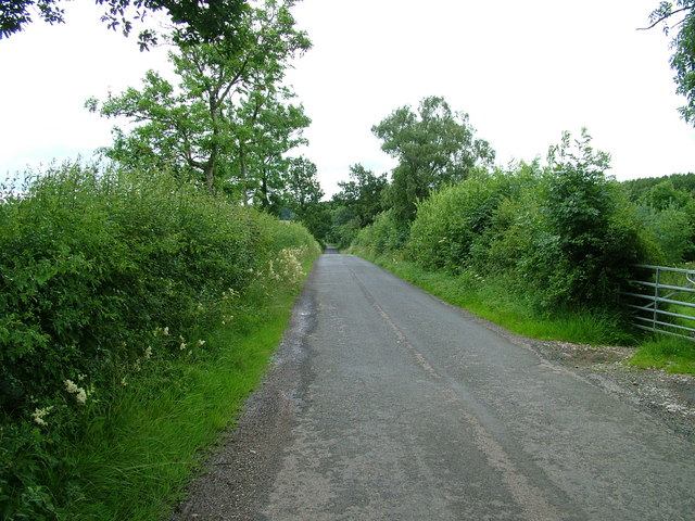
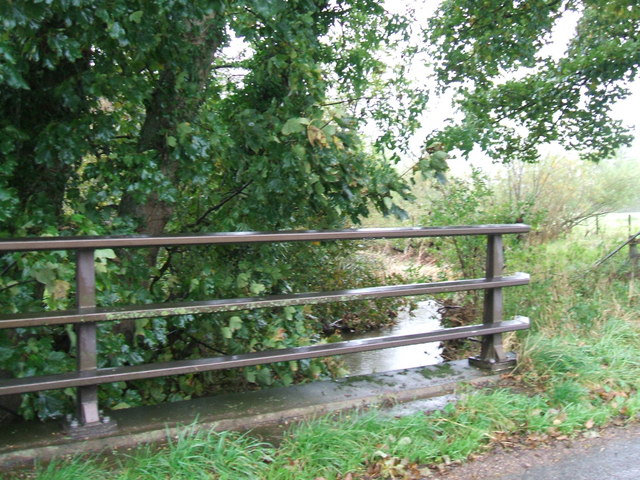
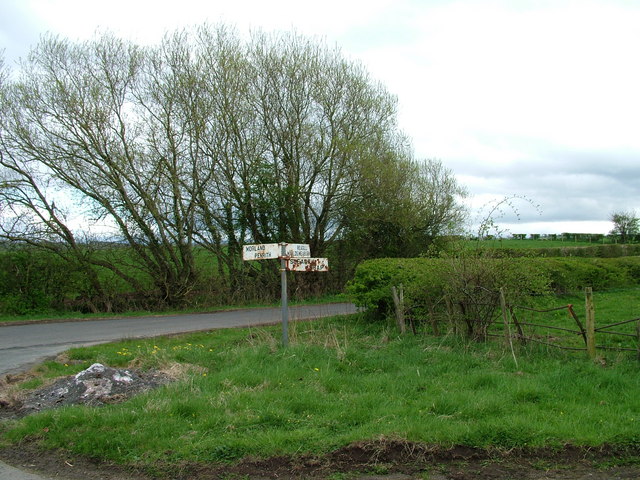
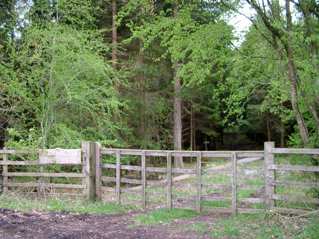
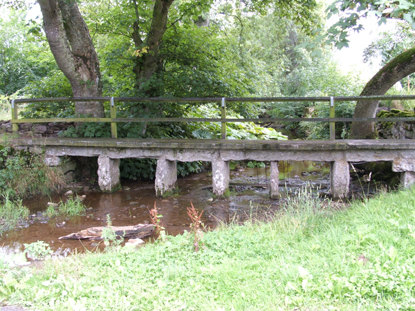
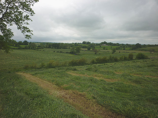
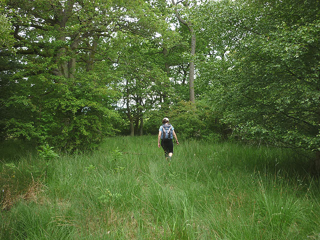
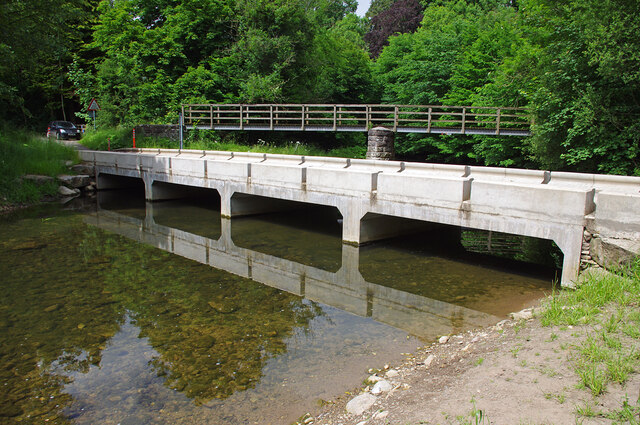
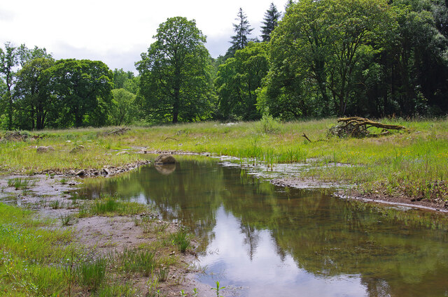
Butts Plantation is a vast woodland area located in Westmorland, a county in the Northwest of England. Stretching across acres of land, the plantation is characterized by its dense forests and abundant wildlife. The woodland is nestled in a picturesque landscape, offering visitors a serene and peaceful environment to explore.

The plantation is primarily composed of mature oak and beech trees, which create a dense canopy and provide shelter to a diverse range of flora and fauna. The forest floor is adorned with an assortment of wildflowers, ferns, and mosses, adding to the natural beauty of the area. It is not uncommon to spot native birds such as woodpeckers, owls, and songbirds flitting among the trees.

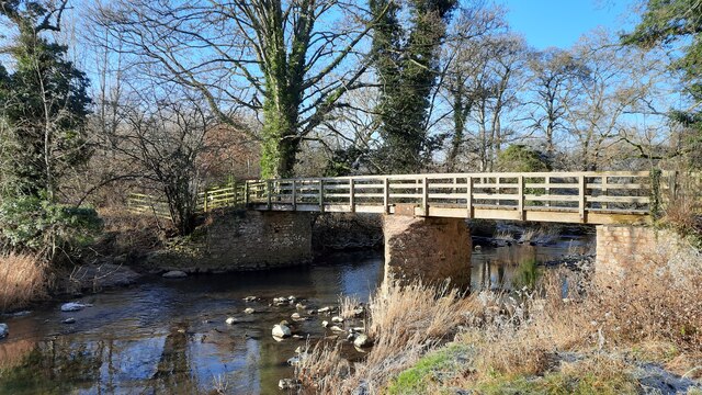
Butts Plantation is a popular destination for nature enthusiasts and outdoor adventurers. There are numerous well-maintained trails that wind through the woodland, allowing visitors to immerse themselves in the tranquility of the surroundings. These paths offer a variety of difficulty levels, catering to both casual walkers and avid hikers.

The plantation also serves as a habitat for a variety of wildlife species. Squirrels can be seen scampering through the treetops, while rabbits and deer occasionally make appearances in the open clearings. The plantation management takes great care in preserving the natural ecosystem, ensuring that the wildlife and vegetation thrive undisturbed.

Overall, Butts Plantation in Westmorland is a haven for nature lovers, providing a peaceful escape from the hustle and bustle of everyday life. Its diverse flora and fauna, combined with its well-maintained trails, make it an ideal destination for those seeking a serene and immersive woodland experience.

If you have any feedback on the listing, please let us know in the comments section below.

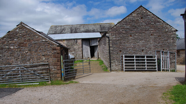
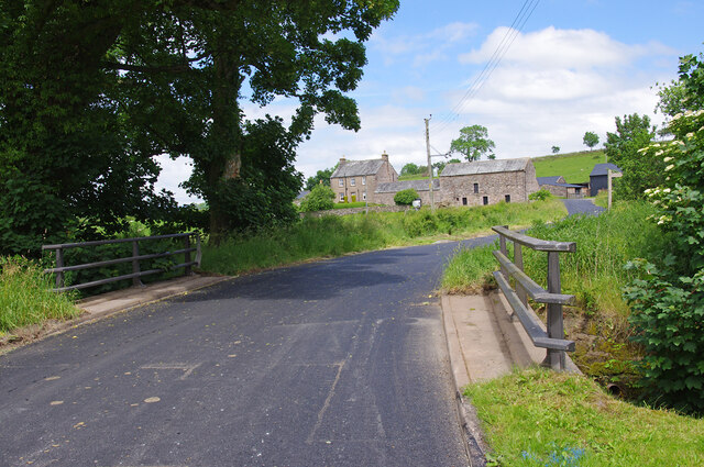
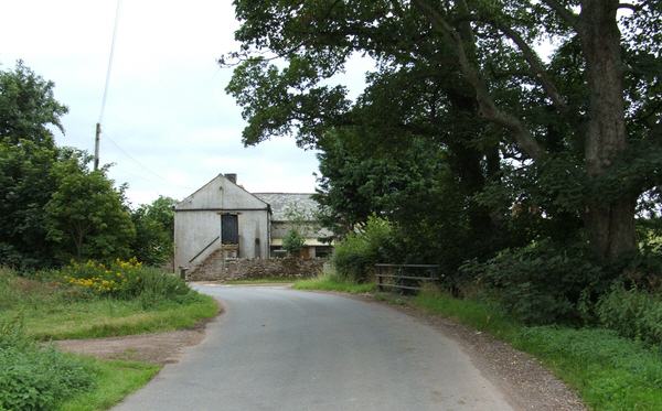
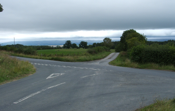
Butts Plantation Images

Images are sourced within 2km of 54.581097/-2.6011762 or Grid Reference NY6120. Thanks to Geograph Open Source API. All images are credited.

Barns at Llittlebeck
Llittlebeck In the foreground is a bridge over Little Beck.
Llittlebeck
In the foreground is a bridge over Little Beck.
Littlebeck Farm between Maulds Meaburn and King's Meaburn.
Littlebeck
Farm between Maulds Meaburn and King's Meaburn.
Cross Roads Cross roads from Sleagill to Littlebeck. To the left Morland, to the right Maulds Meaburn.
Cross Roads
Cross roads from Sleagill to Littlebeck. To the left Morland, to the right Maulds Meaburn.
Road near Turnbank
Road near Turnbank
The bridge at Littlebeck A tributary of the Lyvennet.
The bridge at Littlebeck
A tributary of the Lyvennet.
Sign at crossroads
Sign at crossroads
Woodland entrance
Woodland entrance
Footbridge over Newby Beck Footbridge at Newby End.
Footbridge over Newby Beck
Footbridge at Newby End.
Harvested grass east of Sleagill A tractor was busy cutting the grass crop over a wide area where the footpath passes through.
Harvested grass east of Sleagill
A tractor was busy cutting the grass crop over a wide area where the footpath passes through.
Footpath through Main Ing Plantation As with many of the unfrequented paths in this area there is no marking and little sign of passage.
Footpath through Main Ing Plantation
As with many of the unfrequented paths in this area there is no marking and little sign of passage.
Jackdaws Scar Ford This new raised ford was completed in November 2021. Under low flow conditions, vehicles can cross the ford without disturbing the river-life. Also, vehicles can cross the ford safely with higher flows than before. The ford had been closed after being damaged by Storm Desmond in December 2015. See <a href="https://www.geograph.org.uk/photo/3601916">NY6121 : Ford and Footbridge over the River Lyvennet</a> (2013) & <a href="https://www.geograph.org.uk/photo/6216357">NY6121 : Dangerous ford!</a> (2019).
Jackdaws Scar Ford
This new raised ford was completed in November 2021. Under low flow conditions, vehicles can cross the ford without disturbing the river-life. Also, vehicles can cross the ford safely with higher flows than before. The ford had been closed after being damaged by Storm Desmond in December 2015. See NY6121 : Ford and Footbridge over the River Lyvennet (2013) & NY6121 : Dangerous ford! (2019).
Victorian post box, Kings Meaburn Mounted on the post office wall. See <a href="https://www.geograph.org.uk/photo/5298812">NY6221 : The White Horse, King's Meaburn</a>.
Victorian post box, Kings Meaburn
Mounted on the post office wall. See NY6221 : The White Horse, King's Meaburn.
River Lyvennet wetland scrape Presumably, this was created by the Eden Rivers Trust as part of their river restoration project. The river is just over the bank running across the photo.
River Lyvennet wetland scrape
Presumably, this was created by the Eden Rivers Trust as part of their river restoration project. The river is just over the bank running across the photo.
Bridge over the River Lyvennet
Permanent Coronation reminder! I thought the crown on top of the signpost had been installed specially for the Coronation of King Charles III the next day.  The crown however, has been here for some time! <a href="https://www.geograph.org.uk/photo/6096233">NY6220 : Old Direction Sign - Signpost by Littlebeck Lane, King's Meaburn</a>
Permanent Coronation reminder!
I thought the crown on top of the signpost had been installed specially for the Coronation of King Charles III the next day. The crown however, has been here for some time! NY6220 : Old Direction Sign - Signpost by Littlebeck Lane, King's Meaburn
Footbridge and Ford, Morland This is taken from the lane running south-eastwards from the village centre.
Footbridge and Ford, Morland
This is taken from the lane running south-eastwards from the village centre.
Jackdaws' Scar, King's Meaburn A limestone crag with a base of sandstone next to the River Lyvennet
Jackdaws' Scar, King's Meaburn
A limestone crag with a base of sandstone next to the River Lyvennet
Show me another place!

Butts Plantation is located at Grid Ref: NY6120 (Lat: 54.581097, Lng: -2.6011762)

Administrative County: Cumbria

District: Eden

Police Authority: Cumbria

What 3 Words

///overgrown.rocks.unfit. Near Appleby-in-Westmorland, Cumbria

Nearby Locations

Butts Plantation

Related Wikis

King's Meaburn

King's Meaburn (English: ) is a small village and civil parish in Cumbria, England. It is located 5 miles (8.0 km) from Appleby-in-Westmorland and 10 miles...

Littlebeck, Cumbria

Littlebeck is a hamlet in the Eden District in the English county of Cumbria, located near the small village of King's Meaburn, the hamlet of Lankaber...

Newby, Cumbria

Newby is a village and civil parish in the Eden district of the county of Cumbria, England. It is about 7 miles (11 km) from the large town of Penrith...

Morland, Cumbria

Morland is a village and civil parish in the rolling hills of the Eden Valley in the Eden District of Cumbria, England. It lies within the historic county...

Sleagill

Sleagill is a small village and civil parish in the Eden district of Cumbria, England. At the 2011 census Sleagill was grouped with Newby giving a total...

St Laurence's Church, Morland

St Laurence's Church is in the village of Morland, Cumbria, England. It is an active Anglican parish church in the deanery of Appleby, the archdeaconry...

Crossrigg Hall

Crossrigg Hall is a country house in the civil parish of Bolton, Cumbria in the northern United Kingdom. It was built in 1864 by Lieutenant Colonel Hugh...

Reagill

Reagill is a hamlet in the parish of Crosby Ravensworth, in the Eden district, in the English county of Cumbria, England. Its closest major settlements...

Nearby Amenities

Located within 500m of 54.581097,-2.6011762
Power: pole
Lat/Long: 54.5814734/-2.6044679
Power: pole
Lat/Long: 54.582218/-2.6072547
Power: pole
Lat/Long: 54.5802951/-2.6077509
Power: pole
Lat/Long: 54.5810537/-2.6086414
Power: pole
Lat/Long: 54.5794915/-2.6068148
Power: pole
Lat/Long: 54.578694/-2.6061389
Power: pole
Lat/Long: 54.5779229/-2.605581
Power: pole
Lat/Long: 54.5813818/-2.5946087
Power: pole
Lat/Long: 54.5811747/-2.5955108
Power: pole
Lat/Long: 54.5811835/-2.5969184
Power: pole
Lat/Long: 54.5811987/-2.5987704
Power: pole
Lat/Long: 54.5812126/-2.599995
Power: pole
Lat/Long: 54.5812227/-2.6013568
Power: pole
Lat/Long: 54.5812315/-2.6028689
Power: pole
Lat/Long: 54.5817/-2.6060806
The data included in this document is from www.openstreetmap.org. The data is made available under ODbL.

Have you been to Butts Plantation?

Leave your review of Butts Plantation below (or comments, questions and feedback).