Folder's Green
Wood, Forest in Gloucestershire Forest of Dean
England
Folder's Green
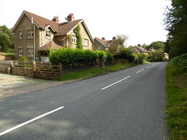
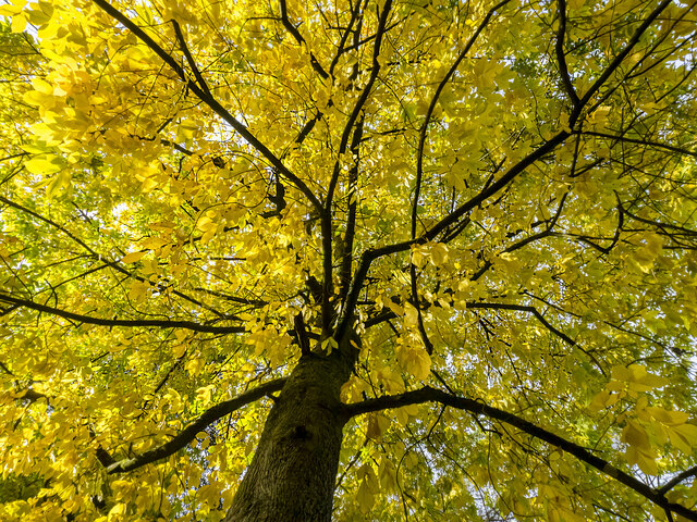
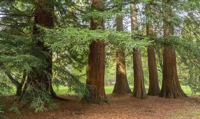
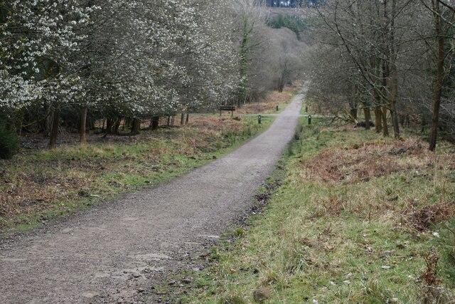
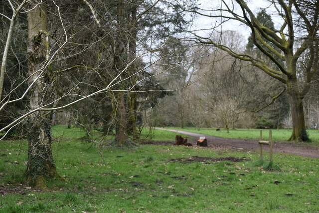
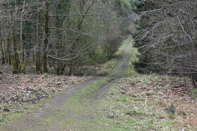
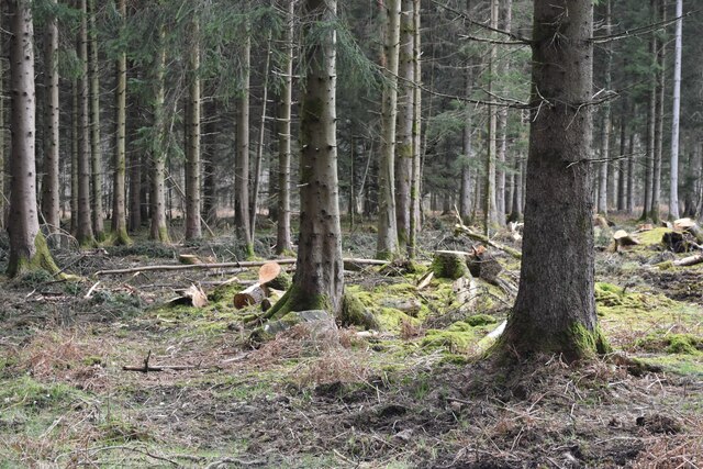
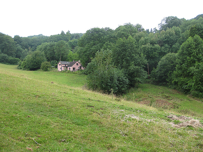
Folder's Green is a picturesque woodland located in Gloucestershire, England. Covering an area of approximately 500 acres, it is a popular destination for nature lovers and outdoor enthusiasts alike. The woodland is characterized by its dense canopy of greenery, consisting primarily of deciduous trees such as oak, beech, and ash.
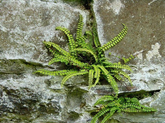
The forest floor is adorned with a rich variety of flora, including bluebells, wild garlic, and ferns, which add to the enchanting atmosphere of the woodland. In springtime, the forest comes alive with a riot of colors as vibrant wildflowers bloom in abundance.
Folder's Green also offers a diverse range of wildlife, making it a haven for animal enthusiasts. Visitors may catch glimpses of deer, foxes, badgers, and a variety of bird species, including woodpeckers and owls. The forest's peaceful ambience and unspoiled environment provide the perfect habitat for these creatures to thrive.
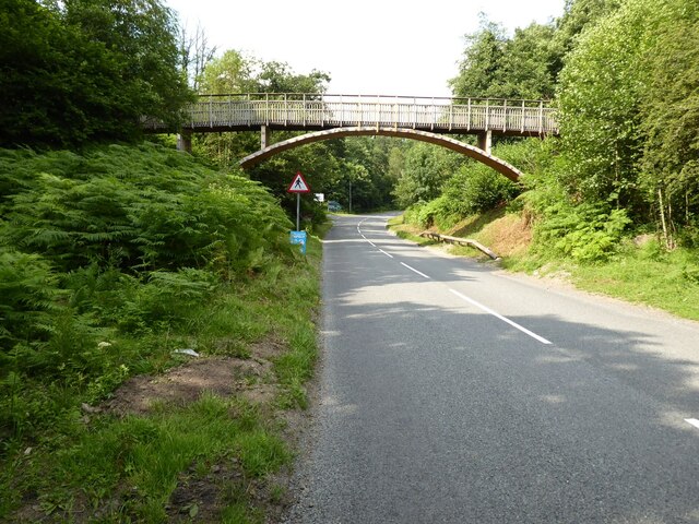
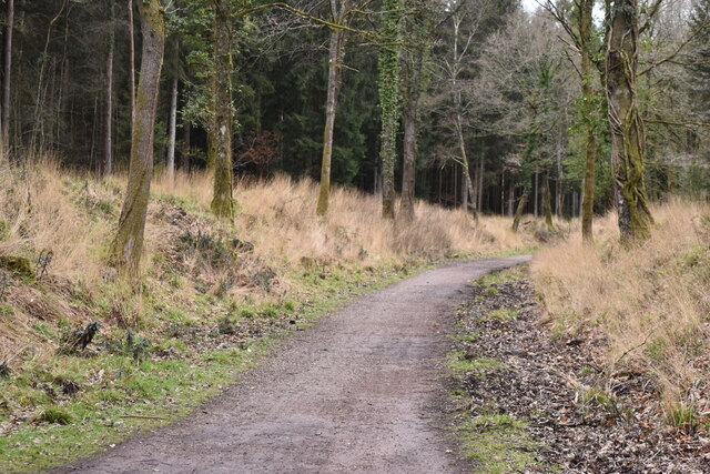
The woodland is crisscrossed with a network of well-maintained trails, allowing visitors to explore and appreciate its natural beauty. Hikers can choose from a range of routes, catering to different abilities and interests. Whether one seeks a leisurely stroll or a more challenging hike, Folder's Green has something to offer everyone.
Additionally, the woodland has facilities for picnicking, making it an ideal spot for families and groups to enjoy a day out in nature. The tranquil surroundings and fresh air provide a perfect backdrop for relaxation and rejuvenation.
Overall, Folder's Green in Gloucestershire is a captivating woodland, offering visitors a chance to immerse themselves in the beauty of nature and experience the serenity and tranquility of a true forest retreat.
If you have any feedback on the listing, please let us know in the comments section below.
Folder's Green Images
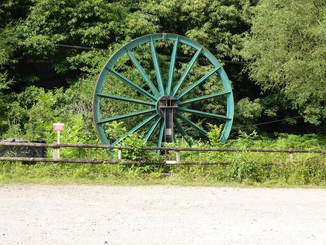
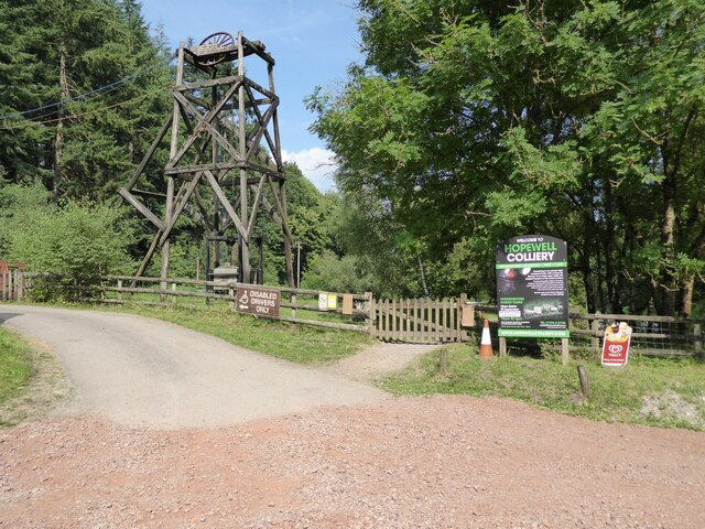
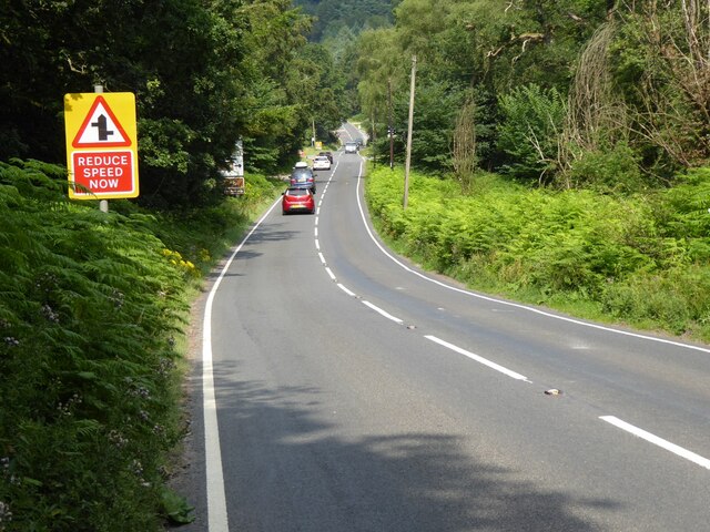
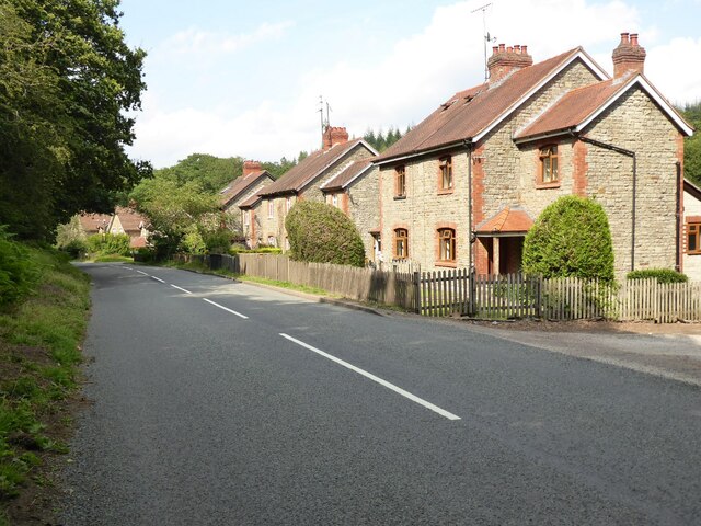
Images are sourced within 2km of 51.794247/-2.5651685 or Grid Reference SO6110. Thanks to Geograph Open Source API. All images are credited.

Folder's Green is located at Grid Ref: SO6110 (Lat: 51.794247, Lng: -2.5651685)
Administrative County: Gloucestershire
District: Forest of Dean
Police Authority: Gloucestershire
What 3 Words
///nanny.excavate.photo. Near Coleford, Gloucestershire
Nearby Locations
Related Wikis
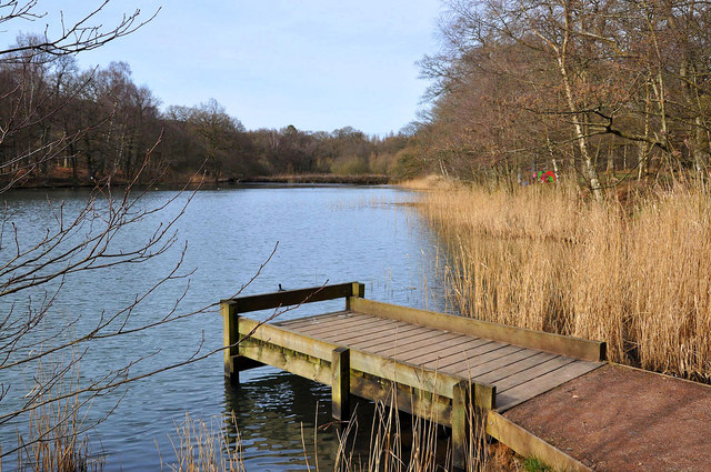
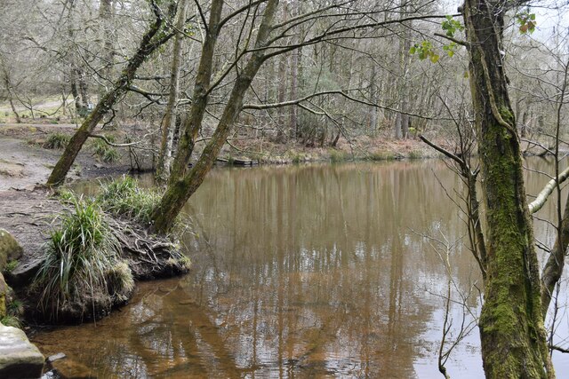
Cannop Ponds
Cannop Ponds (grid reference SO608106) are two large ponds, just north of Parkend in the Forest of Dean, Gloucestershire, England. The ponds, and surrounding...

Speech House Road railway station
Speech House Road railway station is a disused railway station opened by the former Severn and Wye Railway in 1875, it remained open for 88 years until...

Forest of Dean Cycle Centre
Forest of Dean Cycle Centre is a small woodland cycling centre, comprising mountain bike trails, a visitor centre, car parks and uplift service. It is...
Spion Kop Quarry
Spion Kop Quarry (grid reference SO598103) is a 0.7-hectare (1.7-acre) nature reserve in Gloucestershire in the Forest of Dean.The site is managed by the...

West Dean Rural District
West Dean Rural District was a rural district in Gloucestershire, England, from 1894 to 1974. It comprised a number of civil parishes, including, confusingly...

Forest of Dean District
Forest of Dean is a local government district in west Gloucestershire, England, named after the Forest of Dean. Its council is based in Coleford. Other...
East Dean, Gloucestershire
East Dean is a hamlet and former civil parish, now in the parish of Mitcheldean, in the Forest of Dean district, in the county of Gloucestershire, England...

Forest of Dean Coalfield
The Forest of Dean Coalfield, underlying the Forest of Dean, in west Gloucestershire, is one of the smaller coalfields in the British Isles, although intensive...
Nearby Amenities
Located within 500m of 51.794247,-2.5651685Have you been to Folder's Green?
Leave your review of Folder's Green below (or comments, questions and feedback).