Beech Tree Wood

Wood, Forest in Herefordshire

England

Beech Tree Wood

Lodgegrove Brook The brook runs alongside a small track with a public footpath, as well as acting as the border between Herefordshire and Gloucestershire.
Lodgegrove Brook Credit: Pebble

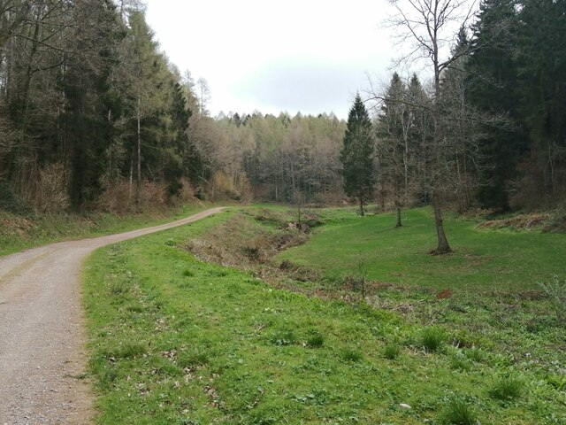
Beech Tree Wood is a picturesque forest located in Herefordshire, a county in the West Midlands region of England. Covering an area of approximately 100 acres, the wood is primarily composed of beech trees, which lend their name to the area. It is known for its dense foliage, vibrant greenery, and tranquil atmosphere.

The wood is situated in a rural area, surrounded by rolling hills and farmland, providing visitors with a peaceful and serene environment. It is a popular destination for nature enthusiasts, hikers, and birdwatchers, who can explore the various trails that wind through the forest.

Beech Tree Wood is home to a diverse range of wildlife, including several species of birds, such as woodpeckers and owls. The woodland floor is also teeming with flora, with carpets of bluebells and wild garlic adding bursts of color during the spring months.

Visitors to Beech Tree Wood can enjoy a range of activities, including walking, picnicking, and photography. The wood offers a sense of tranquility and escape from the hustle and bustle of everyday life, making it an ideal spot for relaxation and reflection.

Overall, Beech Tree Wood in Herefordshire is a beautiful and serene forest, offering visitors a chance to immerse themselves in nature and enjoy the peaceful surroundings.

If you have any feedback on the listing, please let us know in the comments section below.

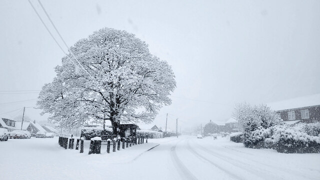
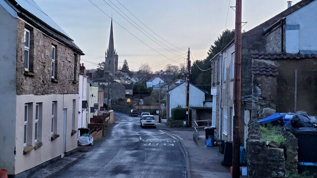
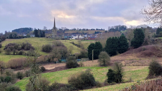
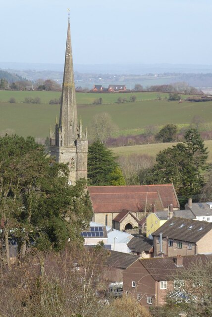
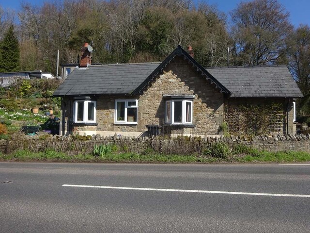
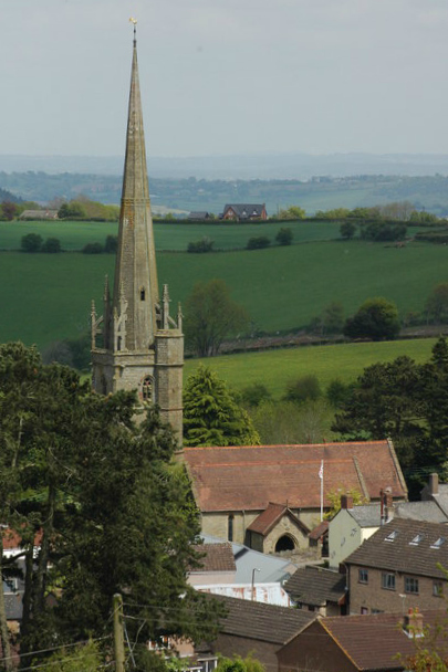
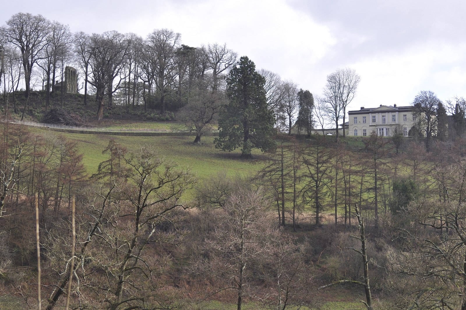
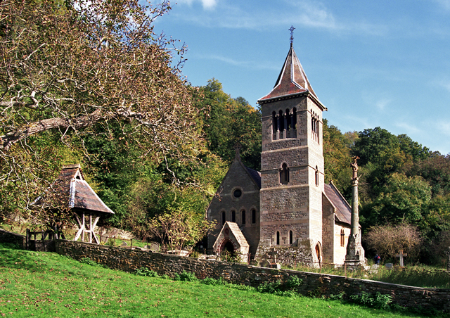
Beech Tree Wood Images

Images are sourced within 2km of 51.869811/-2.5665222 or Grid Reference SO6119. Thanks to Geograph Open Source API. All images are credited.

Lodgegrove Brook The brook runs alongside a small track with a public footpath, as well as acting as the border between Herefordshire and Gloucestershire.
Lodgegrove Brook
The brook runs alongside a small track with a public footpath, as well as acting as the border between Herefordshire and Gloucestershire.
Stone Stile, Ruardean On Gloucestershire footpath DRD6, North of the church. the remains of a "Fallen Idle".
Stone Stile, Ruardean
On Gloucestershire footpath DRD6, North of the church. the remains of a "Fallen Idle".
Toll House, Ruardean Former Toll House, "Pike Cottage" on the North side of High Street. Used by the Forest of Dean Turnpike Trust up until the 19ᵗʰ C. Parts of Ruardean are in the "Forest" but the High Street is not.

Milestone Society National ID: GL.RUA
Toll House, Ruardean
Former Toll House, "Pike Cottage" on the North side of High Street. Used by the Forest of Dean Turnpike Trust up until the 19ᵗʰ C. Parts of Ruardean are in the "Forest" but the High Street is not. Milestone Society National ID: GL.RUA
Ragman's Lane Farm name sign, Gloucestershire Located here <a title="https://www.geograph.org.uk/photo/1427535" href="https://www.geograph.org.uk/photo/1427535">Link</a>
Ragman's Lane Farm name sign, Gloucestershire
Located here Link
Ruardean Oak and war memorial Early on a morning of December snow.
The grey marks on the sky are snowflakes.
Ruardean Oak and war memorial
Early on a morning of December snow. The grey marks on the sky are snowflakes.
West End, Ruardean 8am, New Year's Day, 2023.
West End, Ruardean
8am, New Year's Day, 2023.
View towards Ruardean The village is shown half way up the hill.
View towards Ruardean
The village is shown half way up the hill.
Ruardean church Ruardean church is dedicated to St John the Baptist. The village of Ruardean is situated on high ground on the northern edge of the Forest of Dean and the church spire is prominent when viewed from parts of the Wye Valley below.  This is a similar view to when I visited in 2009 <a href="https://www.geograph.org.uk/photo/1303094">SO6217 : Church of St John the Baptist, Ruardean</a>.
Ruardean church
Ruardean church is dedicated to St John the Baptist. The village of Ruardean is situated on high ground on the northern edge of the Forest of Dean and the church spire is prominent when viewed from parts of the Wye Valley below. This is a similar view to when I visited in 2009 SO6217 : Church of St John the Baptist, Ruardean.
Ruardean church Ruardean church is dedicated to St John the Baptist. The village of Ruardean is situated on high ground on the northern edge of the Forest of Dean and the church spire is prominent when viewed from parts of the Wye Valley below.
Ruardean church
Ruardean church is dedicated to St John the Baptist. The village of Ruardean is situated on high ground on the northern edge of the Forest of Dean and the church spire is prominent when viewed from parts of the Wye Valley below.
Terrace houses in Ruardean Terrace houses in Ruardean viewed from the track beside the church.  This is a recreation of the first picture uploaded in this grid square, little changed in the twenty years since it was taken <a href="https://www.geograph.org.uk/photo/88539">SO6217 : Cottages, Ruardean</a>.
Terrace houses in Ruardean
Terrace houses in Ruardean viewed from the track beside the church. This is a recreation of the first picture uploaded in this grid square, little changed in the twenty years since it was taken SO6217 : Cottages, Ruardean.
Tympanum, Ruardean church The tympanum depicting St George and the Dragon in Ruardean church.
Tympanum, Ruardean church
The tympanum depicting St George and the Dragon in Ruardean church.
Tympanum, Ruardean church The tympanum depicting St George and the Dragon in Ruardean church.
Tympanum, Ruardean church
The tympanum depicting St George and the Dragon in Ruardean church.
Tympanum, Ruardean church The 12th century tympanum of St George and Dragon in Ruardean church, above is a pointed hoodmould to a blind opening with cinquefoil head.
Tympanum, Ruardean church
The 12th century tympanum of St George and Dragon in Ruardean church, above is a pointed hoodmould to a blind opening with cinquefoil head.
Inscription in a lychgate Low winter sun highlighting an inscription from 1743 in the lychgate to Ruardean church, a reminder of how quickly time passes.
Inscription in a lychgate
Low winter sun highlighting an inscription from 1743 in the lychgate to Ruardean church, a reminder of how quickly time passes.
Site of a former manor house Viewed from the church, the remains of a former manor house and possibly an earlier Norman castle.
Site of a former manor house
Viewed from the church, the remains of a former manor house and possibly an earlier Norman castle.
Snowdrops on the roadside I've been here before; see <a href="https://www.geograph.org.uk/photo/6394402">SO6218 : Snowdrops at Vain Farm</a>.
The colony seems to be larger now in 2023.
Snowdrops on the roadside
I've been here before; see SO6218 : Snowdrops at Vain Farm. The colony seems to be larger now in 2023.
Forge Cottage, B4234, Lydbrook Extended ex-Toll House shown on the 1877 map as Bishopswood Gate in an area called Wyelands. Erected by the Forest of Dean Turnpike Trust in the 19ᵗʰ C, typical of designs in about 1827. The road is the route from the Forest to Ross-on-Wye.

Milestone Society National ID: GL.WYE
Forge Cottage, B4234, Lydbrook
Extended ex-Toll House shown on the 1877 map as Bishopswood Gate in an area called Wyelands. Erected by the Forest of Dean Turnpike Trust in the 19ᵗʰ C, typical of designs in about 1827. The road is the route from the Forest to Ross-on-Wye. Milestone Society National ID: GL.WYE
Wheat field near Great Howle Farm A fine distant view to the Black Mountains.
Wheat field near Great Howle Farm
A fine distant view to the Black Mountains.
Show me another place!

Beech Tree Wood is located at Grid Ref: SO6119 (Lat: 51.869811, Lng: -2.5665222)

Unitary Authority: County of Herefordshire

Police Authority: West Mercia

What 3 Words

///writers.crunches.copiers. Near Ruardean, Gloucestershire

Related Wikis

Hope Mansell

Hope Mansell is a village and civil parish in Herefordshire, England. In 2011 the civil parish had a population of 259. Hope Mansell is mentioned in the...

Ruardyn Castle

Ruardyn Castle was a manor house in the village of Ruardean. Its ruins have been scheduled as an ancient monument.It was originally a manor house built...

Ruardean

Ruardean is a village in the Forest of Dean, Gloucestershire, England, to the North West of Cinderford. It is situated on a hillside with views west towards...

Drybrook

Drybrook is a village and civil parish in the Forest of Dean in west Gloucestershire, England. == Location == It lies in the North West edge of the Royal...

Courtfield, Welsh Bicknor

Courtfield, Welsh Bicknor, Herefordshire, England is a country house dating from the early 19th century. The present building stands on the site of a much...

Welsh Bicknor

Welsh Bicknor (Welsh: Llangystennin Garth Brenni) is an area in the far south of the English county of Herefordshire. Despite its name, it is not now in...

1942 Herefordshire TRE Halifax crash

V9977 was an Handley Page Halifax II that had been sent to the Telecommunications Research Establishment (TRE) at RAF Defford to be used as a flying testbed...

Walford, Ross-on-Wye

Walford is a village and civil parish in south Herefordshire, England, two miles south of the market town of Ross-on-Wye. It includes the settlements of...

Nearby Amenities

Located within 500m of 51.869811,-2.5665222
The data included in this document is from www.openstreetmap.org. The data is made available under ODbL.

Have you been to Beech Tree Wood?

Leave your review of Beech Tree Wood below (or comments, questions and feedback).