Apple Acre

Wood, Forest in Lancashire

England

Apple Acre

Parkside Road crossing M6
Parkside Road crossing M6 Credit: Alpin Stewart

Apple Acre is a picturesque woodland area located in the county of Lancashire, England. Situated amidst the rolling hills and lush landscapes, this serene forest is a haven for nature enthusiasts and those seeking tranquility away from the bustling city life.

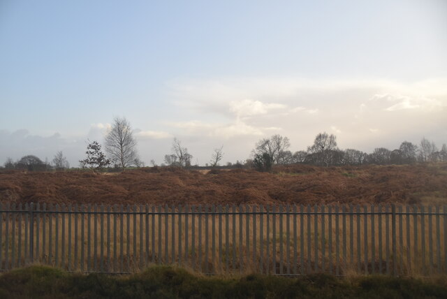
Covering an area of approximately 100 acres, Apple Acre is predominantly composed of dense woodland, with a diverse range of tree species including oak, beech, and birch. The forest floor is adorned with a vibrant carpet of wildflowers, creating a colorful and enchanting atmosphere throughout the year.

The woodland is intersected by meandering paths that provide easy access for visitors to explore the area. These well-maintained trails offer an opportunity to immerse oneself in the natural beauty of the forest while enjoying leisurely walks or engaging in activities like birdwatching and photography.

Apple Acre is also home to a rich variety of wildlife, making it an ideal location for nature enthusiasts and wildlife photographers. The forest provides a habitat for a wide range of bird species, including woodpeckers, owls, and various songbirds. Additionally, small mammals such as squirrels, rabbits, and foxes can be spotted within the woodland.

For those interested in the historical aspect, Apple Acre has a fascinating past dating back centuries. It is believed that the forest was once part of a larger estate owned by a local noble family. Some remnants of the estate, including the ruins of an old stone wall, can still be seen within the woodland, adding an intriguing element to the overall experience.

Overall, Apple Acre in Lancashire is a captivating woodland that offers a peaceful retreat for nature lovers and an opportunity to connect with the natural world.

If you have any feedback on the listing, please let us know in the comments section below.
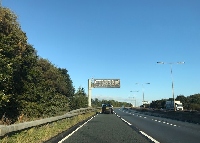
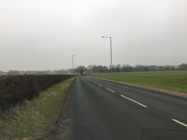
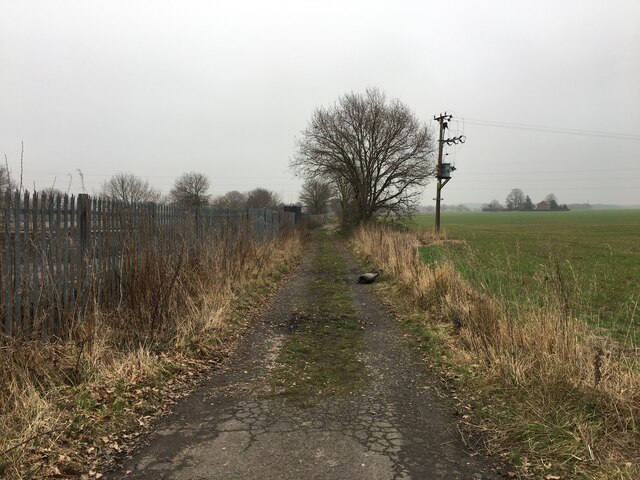
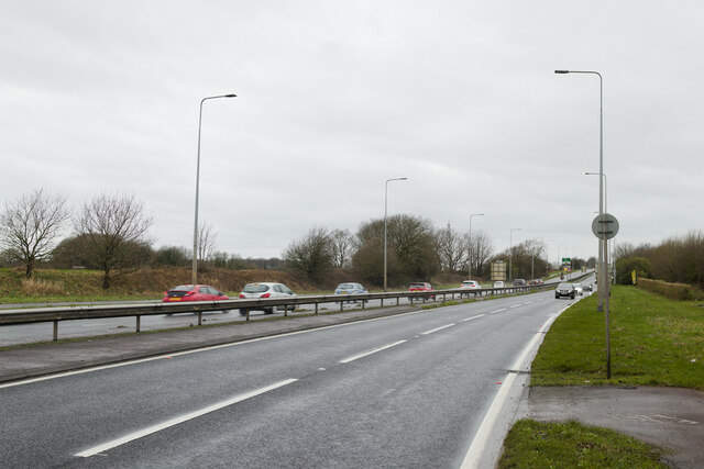
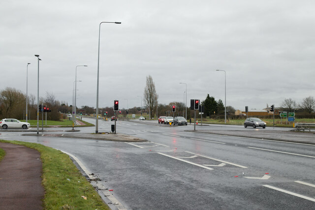
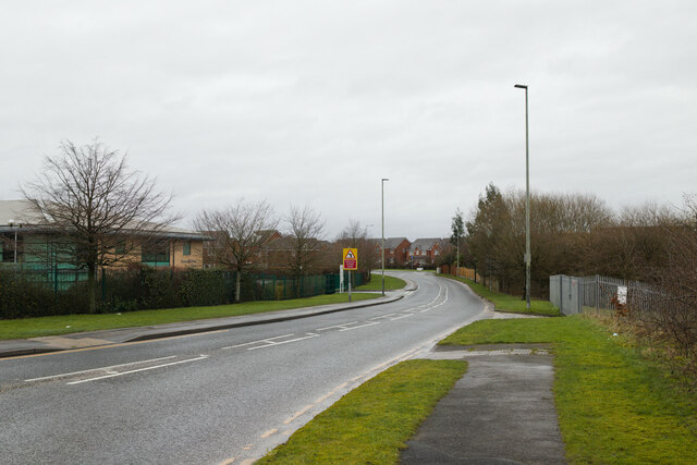
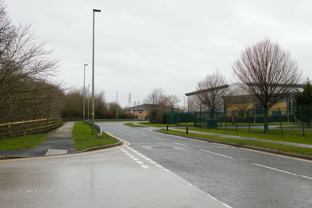
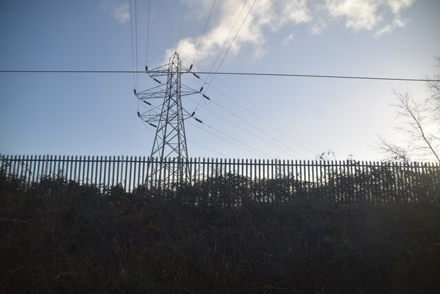
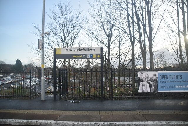
Apple Acre Images

Images are sourced within 2km of 53.46244/-2.5891822 or Grid Reference SJ6096. Thanks to Geograph Open Source API. All images are credited.

Parkside Road crossing M6
A573 bridge  - M6 northbound
A573 bridge - M6 northbound
Matrix board  - M6 northbound
Matrix board - M6 northbound
A573 Warrington Road
Farm track alongside the railway near Highfield Farm
A573 near its crossing over the M6
A580 East Lancashire Road
Traffic lights on the A580 At the junction with Stone Cross Lane North.
Traffic lights on the A580
At the junction with Stone Cross Lane North.
Stone Cross Lane North
Yew Tree Way, Golborne
Pylon by Parkside Liverpool Junction
Highfield Moss
Highfield Moss
Matrix board  - M6 northbound
Matrix board - M6 northbound
Junction 23 signage  - M6 northbound
Junction 23 signage - M6 northbound
Newton-le-Willows Station Wikipedia: <span class="nowrap"><a title="https://en.wikipedia.org/wiki/Newton-le-Willows_railway_station" rel="nofollow ugc noopener" href="https://en.wikipedia.org/wiki/Newton-le-Willows_railway_station">Link</a><img style="margin-left:2px;" alt="External link" title="External link - shift click to open in new window" src="https://s1.geograph.org.uk/img/external.png" width="10" height="10"/></span>
Newton-le-Willows Station
Wikipedia: LinkExternal link
Mill Lane, Newton-le-Willows Taken from the rail bridge beside the station.
Mill Lane, Newton-le-Willows
Taken from the rail bridge beside the station.
Show me another place!

Apple Acre is located at Grid Ref: SJ6096 (Lat: 53.46244, Lng: -2.5891822)

Unitary Authority: Wigan

Police Authority: Greater Manchester

What 3 Words

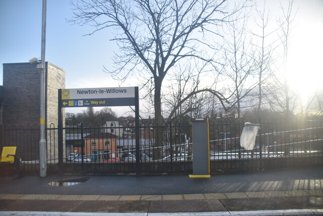
///glee.jazz.backup. Near Newton-le-Willows, Merseyside

Nearby Locations

Apple Acre Town of Lowton

Related Wikis

Parkside railway station (Merseyside)

Parkside railway station was an original station on the Liverpool and Manchester Railway. It then became the interchange station between lines when the...

Cumfybus

Cumfybus is a bus company based in Southport, Merseyside. Its operations were small scale throughout the 1990s, but it has expanded significantly since...

Lowton railway station

Lowton railway station served the village named Town of Lowton to the east of Newton-le-Willows and south of Golborne. == Location == It stood immediately...

Golborne

Golborne (pronounced go:lbə:n or go:bə:n) is a town in the Metropolitan Borough of Wigan, in Greater Manchester, England. It lies 5 miles (8.0 km) south...

Related Videos

When you really want a holiday

When in lockdown & you can't go out on holiday , there is only one thing to do , get on the #hotpoint airline.

Newton-le-Willows Coronation Walking Day - Sunday 7th May 2023

Newton-le-Willows Coronation Walking Day Parade Sunday 7th May 2023 www.necg.org.uk.

Nearby Amenities

Located within 500m of 53.46244,-2.5891822
Turning Circle
Lat/Long: 53.4650393/-2.5861078
Bus Stop
Newton Road
Bus: yes
Naptan AtcoCode: 1800WK38211
Naptan Bearing: E
Naptan CommonName: Newton Road
Naptan Indicator: Nr House 420
Naptan Landmark: HOUSE 420
Naptan NaptanCode: mantdmjg
Naptan PlusbusZoneRef: MNCRPIC
Naptan ShortCommonName: Newton Road
Naptan Street: NEWTON ROAD
Naptan Verified: no
Network: TfGM
Public Transport: platform
Source: naptan_import
Wheelchair: yes
Lat/Long: 53.462544/-2.5835003
Bus Stop
Newton Road
Bus: yes
Naptan AtcoCode: 1800WK38221
Naptan Bearing: W
Naptan CommonName: Newton Road
Naptan Indicator: Os House 409
Naptan Landmark: HOUSE 409
Naptan NaptanCode: mantdmjm
Naptan PlusbusZoneRef: MNCRPIC
Naptan ShortCommonName: Newton Road
Naptan Street: NEWTON ROAD
Naptan Verified: no
Network: TfGM
Public Transport: platform
Source: naptan_import
Wheelchair: no
Lat/Long: 53.462352/-2.5841604
Bus Stop
Newton Road/Travellers Rest
Bus: yes
Naptan AtcoCode: 1800WK38231
Naptan Bearing: SW
Naptan CommonName: Newton Road/Travellers Rest
Naptan Indicator: Travellers Rest
Naptan Landmark: Travellers Rest
Naptan NaptanCode: mantdmjp
Naptan PlusbusZoneRef: MNCRPIC
Naptan ShortCommonName: Travellers Rest
Naptan Street: NEWTON ROAD
Naptan Verified: no
Network: TfGM
Public Transport: platform
Source: naptan_import
Wheelchair: yes
Lat/Long: 53.461493/-2.588848
Bus Stop
Newton Road/Travellers Rest
Bus: yes
Naptan AtcoCode: 1800WK38241
Naptan Bearing: NE
Naptan CommonName: Newton Road/Travellers Rest
Naptan Indicator: Field
Naptan Landmark: FIELD
Naptan NaptanCode: mantdmjt
Naptan PlusbusZoneRef: MNCRPIC
Naptan ShortCommonName: Travellers Rest
Naptan Street: NEWTON ROAD
Naptan Verified: no
Network: TfGM
Public Transport: platform
Source: naptan_import
Wheelchair: yes
Lat/Long: 53.4617306/-2.5880681
Bus Stop
Newton Road/Sandup Farm
Bus: yes
Naptan AtcoCode: 1800WK38251
Naptan Bearing: NE
Naptan CommonName: Newton Road/Sandup Farm
Naptan Indicator: Os House 518
Naptan Landmark: HOUSE 518
Naptan NaptanCode: mantdmjw
Naptan PlusbusZoneRef: MNCRPIC
Naptan ShortCommonName: Sandup Farm
Naptan Street: NEWTON ROAD
Naptan Verified: no
Network: TfGM
Public Transport: platform
Source: naptan_import
Lat/Long: 53.4603609/-2.5941943
Bus Stop
Newton Road/Sandup Farm
Bus: yes
Naptan AtcoCode: 1800WK38261
Naptan Bearing: SW
Naptan CommonName: Newton Road/Sandup Farm
Naptan Indicator: Farmhouse
Naptan Landmark: BUILDING 489
Naptan NaptanCode: mantdmpa
Naptan PlusbusZoneRef: MNCRPIC
Naptan ShortCommonName: Sandup Farm
Naptan Street: NEWTON ROAD
Naptan Verified: no
Network: TfGM
Public Transport: platform
Source: naptan_import
Lat/Long: 53.4600719/-2.5944765
Design: barrel
Operator: SP Energy Networks
Operator Wikidata: Q116022116
Power: tower
Source: Bing
Lat/Long: 53.4651154/-2.5948662
Post Box
Operator: Royal Mail
Operator Wikidata: Q638098
Post Box Type: lamp
Ref: WA3 202
Royal Cypher: EIIR
Source: survey
Lat/Long: 53.4617275/-2.5875337
Information: guidepost
Source: survey
Tourism: information
Lat/Long: 53.4645758/-2.5876381
Design: barrel
Operator: SP Energy Networks
Operator Wikidata: Q116022116
Power: tower
Lat/Long: 53.4621339/-2.595071
The data included in this document is from www.openstreetmap.org. The data is made available under ODbL.

Have you been to Apple Acre?

Leave your review of Apple Acre below (or comments, questions and feedback).