Castlehill Wood
Wood, Forest in Somerset Mendip
England
Castlehill Wood
Castlehill Wood is a picturesque woodland located in Somerset, England. Covering an area of approximately 60 hectares, this ancient forest is a haven for nature lovers and outdoor enthusiasts alike. The wood is situated on the outskirts of the charming village of Castle Cary, offering visitors a tranquil escape from the hustle and bustle of everyday life.
The woodland is characterized by a diverse range of tree species, including oak, beech, ash, and hazel. The dense canopy creates a sheltered environment, providing a habitat for a variety of wildlife. It is not uncommon to spot deer, foxes, and a plethora of bird species while exploring the wood.
Castlehill Wood is crisscrossed by a network of well-maintained footpaths, making it an ideal location for walkers and hikers. The trails wind through the forest, offering breathtaking views of the surrounding countryside. Visitors can also explore the numerous glades and clearings, which are perfect for picnicking or simply enjoying the peaceful atmosphere.
The wood has a rich historical significance, with evidence of human activity dating back hundreds of years. Ruins of an Iron Age hillfort can be seen within the woodland, adding an intriguing element to the area's allure. The wood is also home to a small pond, adding to its natural beauty and providing a habitat for various aquatic plants and creatures.
In summary, Castlehill Wood in Somerset is a stunning forest that offers a unique blend of natural beauty and historical significance. With its diverse wildlife, well-maintained trails, and peaceful ambiance, it is a must-visit destination for nature enthusiasts and those seeking a relaxing outdoor experience.
If you have any feedback on the listing, please let us know in the comments section below.
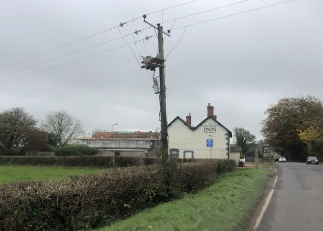
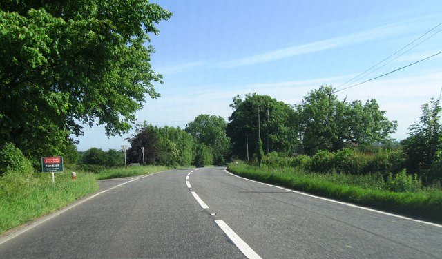
Castlehill Wood Images
Images are sourced within 2km of 51.220779/-2.5606917 or Grid Reference ST6046. Thanks to Geograph Open Source API. All images are credited.


Castlehill Wood is located at Grid Ref: ST6046 (Lat: 51.220779, Lng: -2.5606917)
Administrative County: Somerset
District: Mendip
Police Authority: Avon and Somerset
What 3 Words
///panthers.staple.reverses. Near Shepton Mallet, Somerset
Nearby Locations
Related Wikis

Maesbury Castle
Maesbury Castle is an Iron Age hill fort within the parish of Croscombe on the Mendip Hills, just north of Shepton Mallet, Somerset, England. It has been...
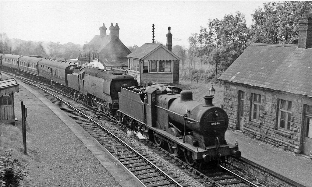
Masbury railway station
Masbury railway station was a small isolated station on the Somerset and Dorset Joint Railway's main line between Evercreech Junction and Bath. It was...

Maesbury Railway Cutting
Maesbury Railway Cutting (grid reference ST606475) is a 2 hectare geological Site of Special Scientific Interest between East Horrington and Gurney Slade...
Thrupe Lane Swallet
Thrupe Lane Swallet (grid reference ST603458) is a 0.5 hectares (1.2 acres) geological Site of Special Scientific Interest in Somerset, notified in 1992...
Nearby Amenities
Located within 500m of 51.220779,-2.5606917Have you been to Castlehill Wood?
Leave your review of Castlehill Wood below (or comments, questions and feedback).