Furze Wood

Wood, Forest in Somerset Mendip

England

Furze Wood

A bus stop casualty The post has come down. Well, it had been leaning for a while.
A bus stop casualty Credit: Neil Owen

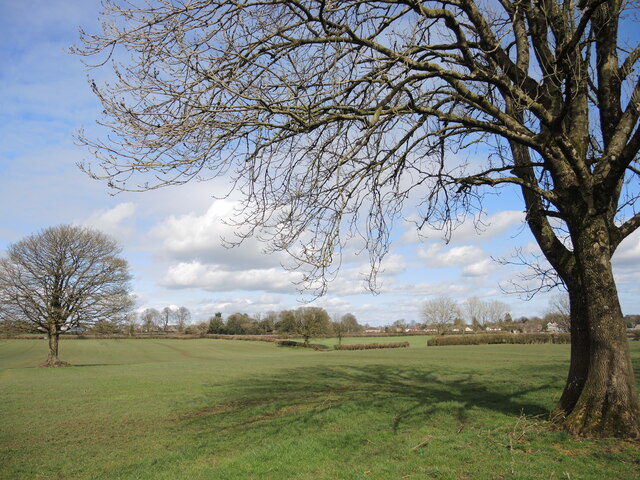
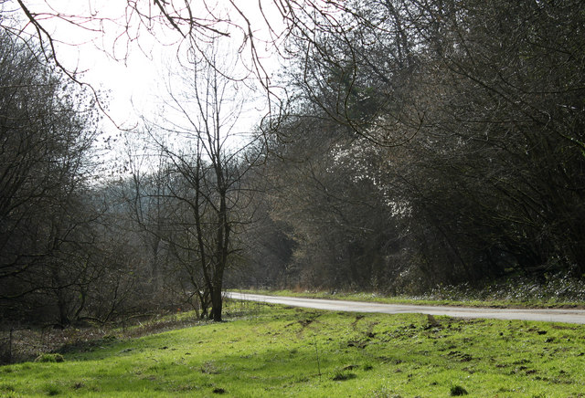
Furze Wood is a picturesque woodland located in the county of Somerset, England. Situated near the village of Priddy, it covers an area of approximately 20 acres and is known for its stunning natural beauty and diverse ecosystem.

The wood is primarily composed of oak and ash trees, which provide a lush canopy and create a serene atmosphere. The forest floor is covered with a variety of plants and wildflowers, including bluebells, primroses, and wood anemones, adding vibrant colors to the landscape.

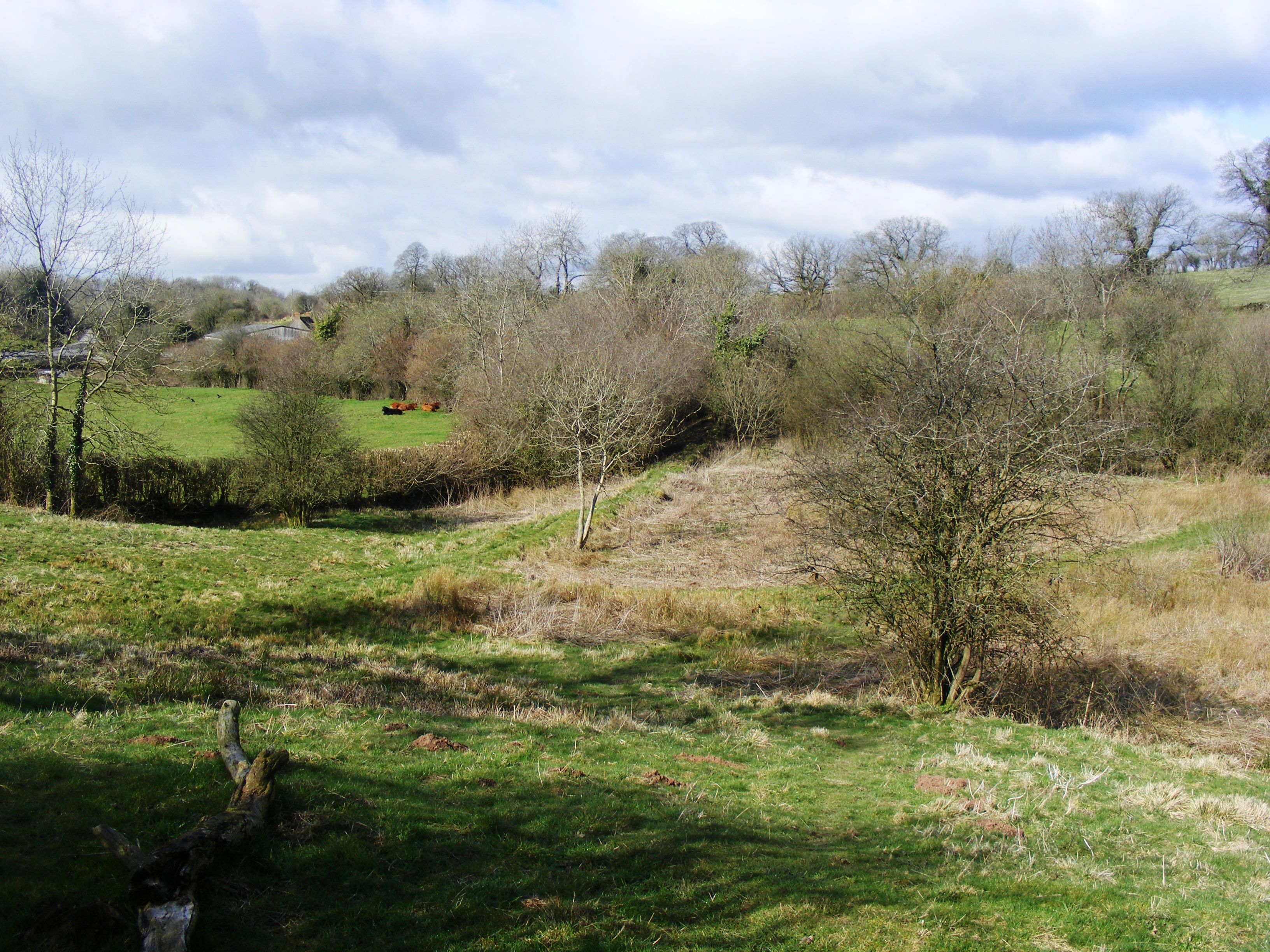
Furze Wood is home to a wide range of wildlife, making it an ideal spot for nature enthusiasts and birdwatchers. Visitors may spot various bird species such as great tits, nuthatches, and woodpeckers, as well as mammals like badgers, foxes, and deer.

The wood is crisscrossed with a network of footpaths, allowing visitors to explore the area and enjoy leisurely walks amidst nature. These paths are well-maintained and signposted, ensuring ease of navigation and a safe experience for all.

Furze Wood is protected as a Site of Special Scientific Interest (SSSI) due to its ecological importance. The wood provides a habitat for rare and endangered species, including the lesser horseshoe bat, which is protected under UK law.

Overall, Furze Wood offers a tranquil and enchanting escape from the hustle and bustle of daily life. Its rich biodiversity and peaceful ambiance make it a popular destination for both locals and tourists seeking a natural retreat in the heart of Somerset.

If you have any feedback on the listing, please let us know in the comments section below.
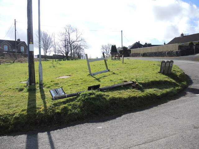
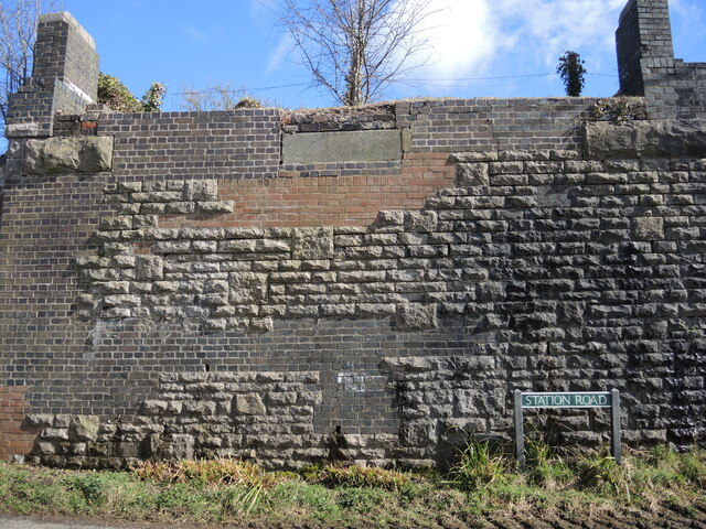
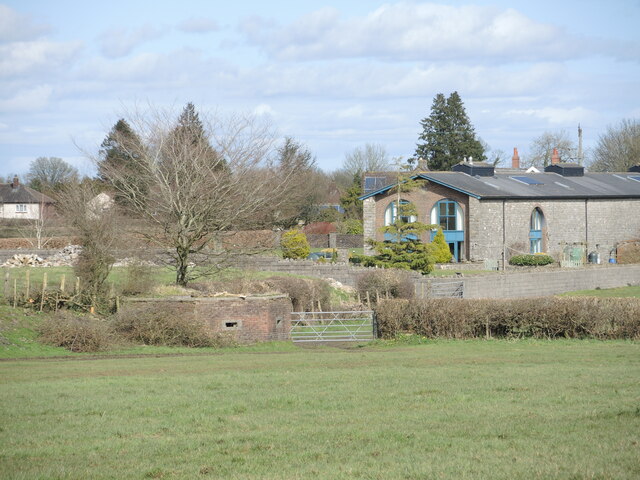
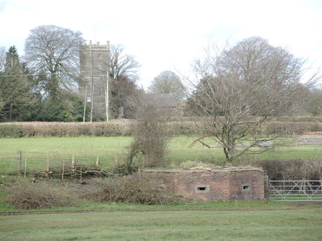
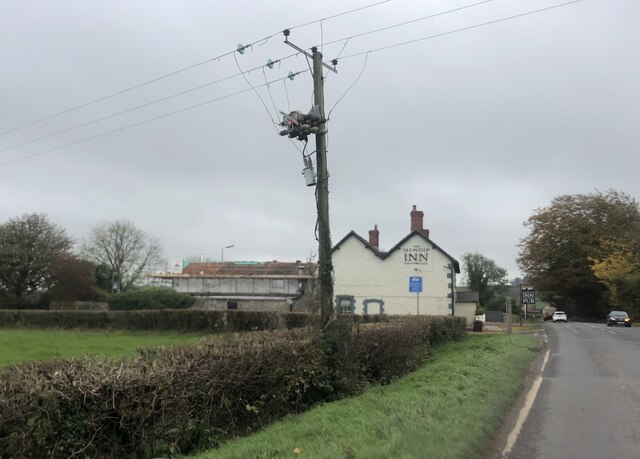
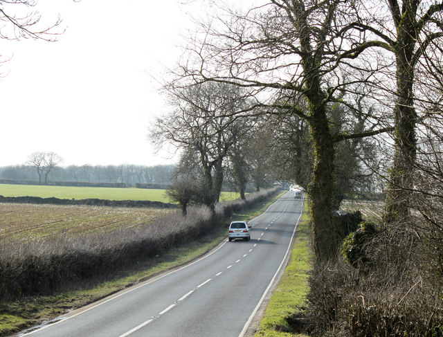
Furze Wood Images

Images are sourced within 2km of 51.225931/-2.5608116 or Grid Reference ST6047. Thanks to Geograph Open Source API. All images are credited.

A bus stop casualty The post has come down. Well, it had been leaning for a while.
A bus stop casualty
The post has come down. Well, it had been leaning for a while.
A mixture of masonry The old railway bridge in Binegar has been dismantled but the strange mixture of construction shows.
A mixture of masonry
The old railway bridge in Binegar has been dismantled but the strange mixture of construction shows.
Hogget burgers on the menu A roadside advert, with the uncommon offering of hogget - a sheep in its second year, between lamb and mutton.
Hogget burgers on the menu
A roadside advert, with the uncommon offering of hogget - a sheep in its second year, between lamb and mutton.
A fate befallen in Bennett's Lane The storms of February are still present.
A fate befallen in Bennett's Lane
The storms of February are still present.
The boundary takes in Bennett's Lane The lane is largely used as the boundary for the old Union and Rural District boundary. A metal marker stands in front of an older stone version, both precariously in front of a small drainage ditch.
The boundary takes in Bennett's Lane
The lane is largely used as the boundary for the old Union and Rural District boundary. A metal marker stands in front of an older stone version, both precariously in front of a small drainage ditch.
You wouldn't know it was here What is today a pretty typical farm field had a recent and much different appearance. Where the footpaths meet under the tree was up until the 1960s a Somerset and Dorset Joint Railway line. That went under Beeching and the land has returned to a green and peaceful field.
You wouldn't know it was here
What is today a pretty typical farm field had a recent and much different appearance. Where the footpaths meet under the tree was up until the 1960s a Somerset and Dorset Joint Railway line. That went under Beeching and the land has returned to a green and peaceful field.
Relics of a lost railway The old Somerset and Dorset Joint Railway used to run through this part of the world near Binegar. The long building was the old goods shed (now private residence) and the land to the left of shot contained the sidings approaching Binegar Station. As war broke out, the lines were protected by a series of defensive pillboxes, one of which is here.
Relics of a lost railway
The old Somerset and Dorset Joint Railway used to run through this part of the world near Binegar. The long building was the old goods shed (now private residence) and the land to the left of shot contained the sidings approaching Binegar Station. As war broke out, the lines were protected by a series of defensive pillboxes, one of which is here.
Praise the Lord and pass the ammunition Binegar was protected by pillboxes along the old railway line, one of which is here in the field. Just beyond it was the route of the line as it approached Binegar station. The tower of Holy Trinity lies at a distance.
Praise the Lord and pass the ammunition
Binegar was protected by pillboxes along the old railway line, one of which is here in the field. Just beyond it was the route of the line as it approached Binegar station. The tower of Holy Trinity lies at a distance.
Snowdrops on the footbridge Spring appears in the hedge by the footpath. They must have a good shelter there.
Snowdrops on the footbridge
Spring appears in the hedge by the footpath. They must have a good shelter there.
The Mendip Inn Public house on the A37
The Mendip Inn
Public house on the A37
2011 : Lane from Binegar Bottom Looking east, Binegar Bottom disappears among the trees to the left.
Seen from the disused railway bridge crossing the road at the edge of the grid square.
A field of last year's maize stubble waits for the plough.
2011 : Lane from Binegar Bottom
Looking east, Binegar Bottom disappears among the trees to the left. Seen from the disused railway bridge crossing the road at the edge of the grid square. A field of last year's maize stubble waits for the plough.
2011 : Rookery Farm Seen from the top (western) end of Binegar Bottom.
The Mendip TV transmitter on Pen Hill <a href="https://www.geograph.org.uk/gridref/ST5648">ST5648</a> is to the left.
2011 : Rookery Farm
Seen from the top (western) end of Binegar Bottom. The Mendip TV transmitter on Pen Hill ST5648 is to the left.
2011 : B3135 at Broomclose Corner Mead Farm is on the other side of the road behind the sign.
2011 : B3135 at Broomclose Corner
Mead Farm is on the other side of the road behind the sign.
2011 : B3135 heading west After an quiet start from the A36 half a mile back the B3135 heads across the Mendips going through nowhere in particular (but doing it very well) to make a spectacular end passing through the Cheddar Gorge.
2011 : B3135 heading west
After an quiet start from the A36 half a mile back the B3135 heads across the Mendips going through nowhere in particular (but doing it very well) to make a spectacular end passing through the Cheddar Gorge.
2011 : A37 heading north toward Gurney Slade On to Ston Easton, Farrington Gurney, Pensford and Bristol.
A few yards behind the camera position the B3135 begins its journey west over the high Mendips to Cheddar.
2011 : A37 heading north toward Gurney Slade
On to Ston Easton, Farrington Gurney, Pensford and Bristol. A few yards behind the camera position the B3135 begins its journey west over the high Mendips to Cheddar.
2011 : Thrupe Lane heading south Past Rising Sun Cottage.
An overbridge on the old Radstock to Shepton Mallet railway crossed the road at the other end of the straight. The embankment is still there.
2011 : Thrupe Lane heading south
Past Rising Sun Cottage. An overbridge on the old Radstock to Shepton Mallet railway crossed the road at the other end of the straight. The embankment is still there.
2011 : Thrupe, Somerset In Anglo-Saxon times a thrupe was a dairy farm. (from Wikipedia), not much has changed. <span class="nowrap"><a title="http://www.theoldmilkingparlour.co.uk/contact.html" rel="nofollow ugc noopener" href="http://www.theoldmilkingparlour.co.uk/contact.html">Link</a><img style="margin-left:2px;" alt="External link" title="External link - shift click to open in new window" src="https://s1.geograph.org.uk/img/external.png" width="10" height="10"/></span>
The limestone in this area is riddled with caves and swallets. More in <span class="nowrap"><a title="http://en.wikipedia.org/wiki/Thrupe_Lane_Swallet" rel="nofollow ugc noopener" href="http://en.wikipedia.org/wiki/Thrupe_Lane_Swallet">Link</a><img style="margin-left:2px;" alt="External link" title="External link - shift click to open in new window" src="https://s1.geograph.org.uk/img/external.png" width="10" height="10"/></span> and <span class="nowrap"><a title="http://www.absoluteastronomy.com/topics/Thrupe_Lane_Swallet" rel="nofollow ugc noopener" href="http://www.absoluteastronomy.com/topics/Thrupe_Lane_Swallet">Link</a><img style="margin-left:2px;" alt="External link" title="External link - shift click to open in new window" src="https://s1.geograph.org.uk/img/external.png" width="10" height="10"/></span> among others.
2011 : Thrupe, Somerset
In Anglo-Saxon times a thrupe was a dairy farm. (from Wikipedia), not much has changed. LinkExternal link The limestone in this area is riddled with caves and swallets. More in LinkExternal link and LinkExternal link among others.
2011 : Beautiful Binegar Bottom An area of limestone quarries which are now well hidden.
2011 : Beautiful Binegar Bottom
An area of limestone quarries which are now well hidden.
Show me another place!

Furze Wood is located at Grid Ref: ST6047 (Lat: 51.225931, Lng: -2.5608116)

Administrative County: Somerset

District: Mendip

Police Authority: Avon and Somerset

What 3 Words

///throat.encourage.unafraid. Near Shepton Mallet, Somerset

Related Wikis

Maesbury Railway Cutting

Maesbury Railway Cutting (grid reference ST606475) is a 2 hectare geological Site of Special Scientific Interest between East Horrington and Gurney Slade...

Maesbury Castle

Maesbury Castle is an Iron Age hill fort within the parish of Croscombe on the Mendip Hills, just north of Shepton Mallet, Somerset, England. It has been...

Masbury railway station

Masbury railway station was a small isolated station on the Somerset and Dorset Joint Railway's main line between Evercreech Junction and Bath. It was...

Binegar railway station

Binegar railway station was a station on the Somerset and Dorset Joint Railway in the county of Somerset in England. Opened on 20 July 1874, the station...

Thrupe Lane Swallet

Thrupe Lane Swallet (grid reference ST603458) is a 0.5 hectares (1.2 acres) geological Site of Special Scientific Interest in Somerset, notified in 1992...

Church of the Holy Trinity, Binegar

The Anglican Church of the Holy Trinity, Binegar, Somerset, England is Norman but has been rebuilt and restored several times since. It is a Grade II*...

Binegar

Binegar is a small village and civil parish in Somerset, England. It is located on the A37, 4 miles (6.4 km) east of Wells, between Shepton Mallet and...

Windsor Hill Marsh

Windsor Hill Marsh (grid reference ST619454) is a 0.84 hectare biological Site of Special Scientific Interest, north of the town of Shepton Mallet in Somerset...

Nearby Amenities

Located within 500m of 51.225931,-2.5608116
13
Golf: pin
Lat/Long: 51.2219609/-2.5575367
The data included in this document is from www.openstreetmap.org. The data is made available under ODbL.

Have you been to Furze Wood?

Leave your review of Furze Wood below (or comments, questions and feedback).