Great Bourts Inclosure

Wood, Forest in Gloucestershire Forest of Dean

England

Great Bourts Inclosure

Yasasin, Forest of Dean Sculpture Trail
Yasasin, Forest of Dean Sculpture Trail Credit: Richard Cooke

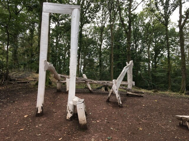
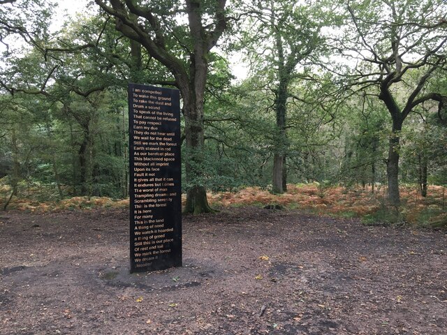
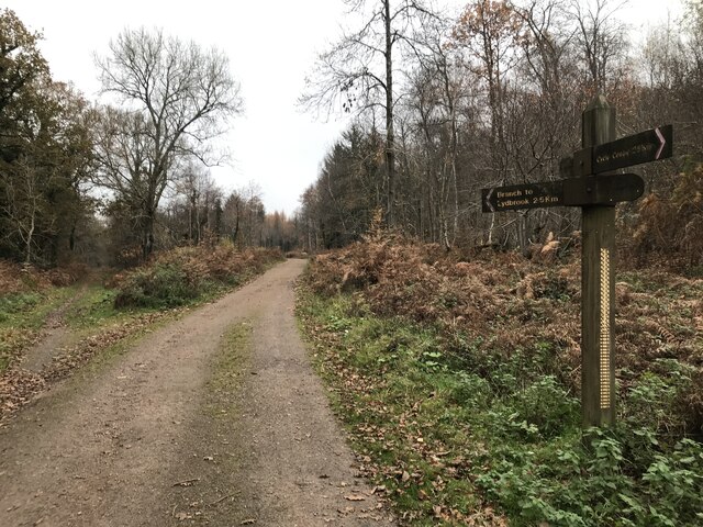
Great Bourts Inclosure is a woodland area located in Gloucestershire, England. It covers an approximate area of 300 hectares and is part of the larger Forest of Dean. The woodland is characterized by a mix of broadleaf trees, including oak, beech, and birch, which create a diverse and vibrant ecosystem.

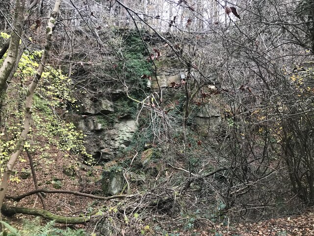
The area is known for its rich flora and fauna, with a wide variety of plant species thriving in the fertile soil. Bluebells, wild garlic, and foxgloves are just a few examples of the colorful flowers that bloom in Great Bourts Inclosure, adding to its natural beauty. The woodland also provides a habitat for numerous animal species, including deer, badgers, and a variety of bird species.

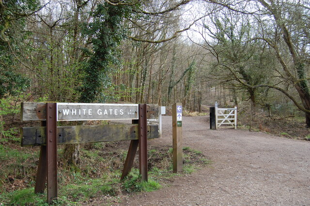
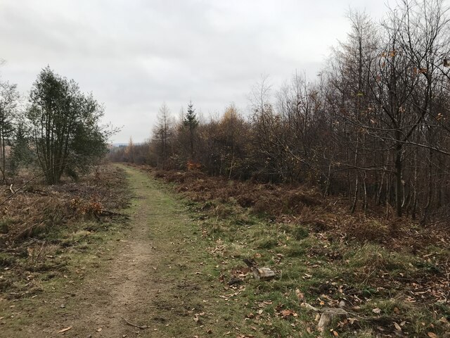
Great Bourts Inclosure is a popular destination for nature enthusiasts, offering numerous walking trails and paths that allow visitors to explore its scenic beauty. The woodland is well-maintained and managed by the Forestry Commission, ensuring the preservation of its natural resources and the protection of its wildlife.

In addition to its natural attractions, Great Bourts Inclosure has historical significance as well. It is believed that the woodland was once used as a hunting ground during medieval times, and remnants of ancient boundary banks can still be seen today. The area provides a glimpse into the region's past and serves as a reminder of its cultural heritage.

Overall, Great Bourts Inclosure in Gloucestershire is a picturesque woodland area that is teeming with biodiversity and offers a serene escape into nature for both locals and tourists alike.

If you have any feedback on the listing, please let us know in the comments section below.

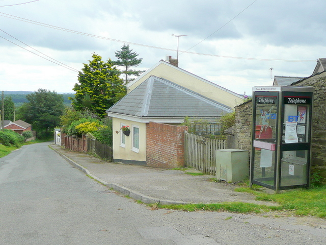
Great Bourts Inclosure Images

Images are sourced within 2km of 51.829761/-2.5691393 or Grid Reference SO6014. Thanks to Geograph Open Source API. All images are credited.

Yasasin, Forest of Dean Sculpture Trail
Soil Unsoiled, Forest of Dean Sculpture Trail
White Gates Paths and tracks in all directions
White Gates
Paths and tracks in all directions
Forest ride
Forest ride
Old railway junction
Mirystock Bridge
Mirystock Bridge
Old chapel and recreation ground
Old railway
Old railway
Old quarry
Old quarry
Sallowvallets track
Sallowvallets track
Sharp turn in the forest track
Old Boundary Marker Estate Boundary Marker east of a forest track and just north of the A4136 near Mirystock House. Lydbrook parish. inscribed Bourts Inclosure and 1842 this perhaps records the enclosure of part of the Forest of Dean.

Milestone Society National ID: GL_LYDBR01em
Old Boundary Marker
Estate Boundary Marker east of a forest track and just north of the A4136 near Mirystock House. Lydbrook parish. inscribed Bourts Inclosure and 1842 this perhaps records the enclosure of part of the Forest of Dean. Milestone Society National ID: GL_LYDBR01em
Modern Boundary Stone, The Pludds On the North verge of Highbeech Road. One of the many replacement boundary stone delineating the periphery of the "Forest of Dean". The "Forest" is very specific because resident have "rights in common" like grazing sheep and coal mining, though you may have to be born there to classify as a "free miner".

Inscription: D. F. / 20005 / Nᴼ. 118

Milestone Society National ID: GL_DFRUAR118em
Modern Boundary Stone, The Pludds
On the North verge of Highbeech Road. One of the many replacement boundary stone delineating the periphery of the "Forest of Dean". The "Forest" is very specific because resident have "rights in common" like grazing sheep and coal mining, though you may have to be born there to classify as a "free miner". Inscription: D. F. / 20005 / Nᴼ. 118 Milestone Society National ID: GL_DFRUAR118em
Forest track Forest track in Serridge Enclosure in the Forect of Dean.
Forest track
Forest track in Serridge Enclosure in the Forect of Dean.
Autumnal forest track Autumnal forest track in Serridge Enclosure.
Autumnal forest track
Autumnal forest track in Serridge Enclosure.
A BP garage A BP garage on the A4136 at Brierley in the Forest of Dean.
A BP garage
A BP garage on the A4136 at Brierley in the Forest of Dean.
A forest road A forest road in The Delves Inclosure in the Forest of Dean near Brierley.
A forest road
A forest road in The Delves Inclosure in the Forest of Dean near Brierley.
Road in the Forest of Dean Road in the Forest of Dean near Brierley.
Road in the Forest of Dean
Road in the Forest of Dean near Brierley.
Show me another place!

Great Bourts Inclosure is located at Grid Ref: SO6014 (Lat: 51.829761, Lng: -2.5691393)

Administrative County: Gloucestershire

District: Forest of Dean

Police Authority: Gloucestershire

What 3 Words

///flotation.depended.silently. Near Lydbrook, Gloucestershire

Related Wikis

Upper Lydbrook railway station

Upper Lydbrook railway station served the civil parish of Lydbrook, Gloucestershire, England, from 1875 to 1929 on the Severn and Wye Railway. == History... ==

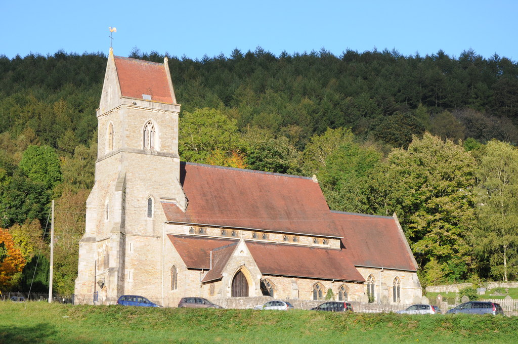
Holy Jesus Church, Lydbrook

Holy Jesus Church at Lydbrook is a Church of England parish church in the English county of Gloucestershire. == Structure == The greater part of the church...
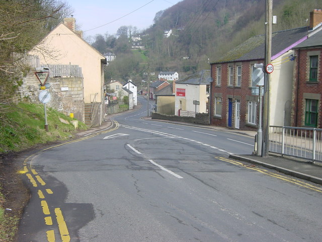
Lydbrook

Lydbrook is a civil parish in the Forest of Dean, a local government district in the English county of Gloucestershire and is located in the Wye Valley...

The Pludds

The Pludds is a hamlet in the Forest of Dean, Gloucestershire, England (grid reference SO617161). Lydbrook and Joys Green are to the west, Ruardean is...

Nearby Amenities

Located within 500m of 51.829761,-2.5691393
Bus Stop
Telephone Exchange
Naptan AtcoCode: 1600GL3111
Naptan Bearing: SE
Naptan CommonName: Telephone Exchange
Naptan NaptanCode: gloagmaw
Naptan Street: B4234
Naptan Verified: no
Source: naptan_import
Lat/Long: 51.8337994/-2.571227
Bus Stop
Telephone Exchange
Naptan AtcoCode: 1600GL3112
Naptan Bearing: NW
Naptan CommonName: Telephone Exchange
Naptan Indicator: Opp
Naptan NaptanCode: gloagmat
Naptan Street: B4234
Naptan Verified: no
Source: naptan_import
Lat/Long: 51.8336913/-2.5712692
Bus Stop
Mireystock
Naptan AtcoCode: 1600GL3297
Naptan Bearing: S
Naptan CommonName: Mireystock
Naptan NaptanCode: gloagmjt
Naptan Street: B4234
Naptan Verified: no
Source: naptan_import
Lat/Long: 51.8294581/-2.5634664
Bus Stop
Mireystock
Naptan AtcoCode: 1600GL3298
Naptan Bearing: N
Naptan CommonName: Mireystock
Naptan NaptanCode: gloagmjp
Naptan Street: B4234
Naptan Verified: no
Source: naptan_import
Lat/Long: 51.8291258/-2.5633897
Bus Stop
Mireystock
Naptan AtcoCode: 1600GLA36653
Naptan Bearing: W
Naptan CommonName: Mireystock
Naptan NaptanCode: glogmgtp
Naptan Street: A4136
Naptan Verified: no
Source: naptan_import
Lat/Long: 51.8288047/-2.5628488
Bus Stop
Mireystock
Naptan AtcoCode: 1600GLA36654
Naptan Bearing: E
Naptan CommonName: Mireystock
Naptan NaptanCode: glogmgtw
Naptan Street: A4136
Naptan Verified: no
Source: naptan_import
Lat/Long: 51.8289217/-2.5628067
Bus Stop
Sallow Vallets Lodge
Naptan AtcoCode: 1600GLF201
Naptan Bearing: W
Naptan CommonName: Sallow Vallets Lodge
Naptan NaptanCode: gloagmad
Naptan Street: A4136 Nr Mireystock
Naptan Verified: no
Source: naptan_import
Lat/Long: 51.8267564/-2.5718054
Bus Stop
Sallow Vallets Lodge
Naptan AtcoCode: 1600GLF202
Naptan Bearing: E
Naptan CommonName: Sallow Vallets Lodge
Naptan Indicator: Opp
Naptan NaptanCode: gloagmap
Naptan Street: A4136 Nr Mireystock
Naptan Verified: no
Source: naptan_import
Lat/Long: 51.8270381/-2.5711995
Bus Stop
Telephone Exchange
Naptan AtcoCode: 1600GLF864
Naptan Bearing: NE
Naptan CommonName: Telephone Exchange
Naptan Indicator: Opp
Naptan NaptanCode: glogjwtg
Naptan Street: Worrall Hill Rd
Naptan Verified: no
Source: naptan_import
Lat/Long: 51.8339137/-2.5717509
Power: pole
Lat/Long: 51.8335945/-2.569301
Power: pole
Lat/Long: 51.8328227/-2.5660667
Power: pole
Lat/Long: 51.8325914/-2.5650768
Power: pole
Lat/Long: 51.8331717/-2.5703497
Power: pole
Lat/Long: 51.8323841/-2.5639715
Power: pole
Lat/Long: 51.8330953/-2.5671907
Lydbrook Telephone Exchange
Addr City: Lydbrook
Addr Postcode: GL17 9LQ
Operator: BT
Ref: SSLBK
Telecom: exchange
Lat/Long: 51.8339215/-2.5712782
Power: pole
Lat/Long: 51.8322947/-2.563214
Power: pole
Lat/Long: 51.8324752/-2.5641391
Power: pole
Lat/Long: 51.8326509/-2.5650681
Power: pole
Lat/Long: 51.833139/-2.5671226
Power: pole
Lat/Long: 51.8335856/-2.5690091
Power: pole
Lat/Long: 51.8337016/-2.569453
Power: pole
Lat/Long: 51.8325861/-2.5733247
Power: pole
Lat/Long: 51.8326872/-2.574576
Power: pole
Lat/Long: 51.8327427/-2.5714351
Power: pole
Lat/Long: 51.8332027/-2.5733677
Barnedge Hill
Place: locality
Lat/Long: 51.8314042/-2.5625711
Telephone
Booth: K6
Colour: yellow
Covered: booth
Man Made: telephone_box
Lat/Long: 51.8338333/-2.5714988
Power: pole
Lat/Long: 51.8328997/-2.566135
The data included in this document is from www.openstreetmap.org. The data is made available under ODbL.

Have you been to Great Bourts Inclosure?

Leave your review of Great Bourts Inclosure below (or comments, questions and feedback).