Coppa View
Settlement in Flintshire
Wales
Coppa View

Coppa View is a picturesque village located in the county of Flintshire, Wales. Situated in the northeastern part of the country, it is nestled amidst rolling green hills and offers stunning views of the surrounding countryside. The village is known for its tranquil and idyllic setting, making it an attractive destination for nature lovers and those seeking a peaceful retreat.
Coppa View is home to a small population, creating a close-knit community atmosphere. The village maintains a charming rural character, with traditional stone houses and well-maintained gardens adding to its aesthetic appeal. The sense of community is nurtured through various local events and activities that take place throughout the year, fostering a strong sense of belonging among residents.
Nature enthusiasts will find plenty to explore in Coppa View and its surroundings. The village is surrounded by lush green fields and dense woodlands, providing ample opportunities for hiking, walking, and bird-watching. Additionally, the scenic River Dee flows nearby, offering a serene spot for fishing or simply enjoying the peaceful sounds of flowing water.
Despite its rural location, Coppa View benefits from good transport links. The nearby town of Mold provides access to essential amenities such as shops, schools, and healthcare facilities. Furthermore, the city of Chester is within easy reach, offering a wider range of services and cultural attractions.
In summary, Coppa View is a charming village in Flintshire that boasts a beautiful natural setting and a strong sense of community. It is an ideal destination for those seeking a peaceful and picturesque escape from the busyness of modern life.
If you have any feedback on the listing, please let us know in the comments section below.
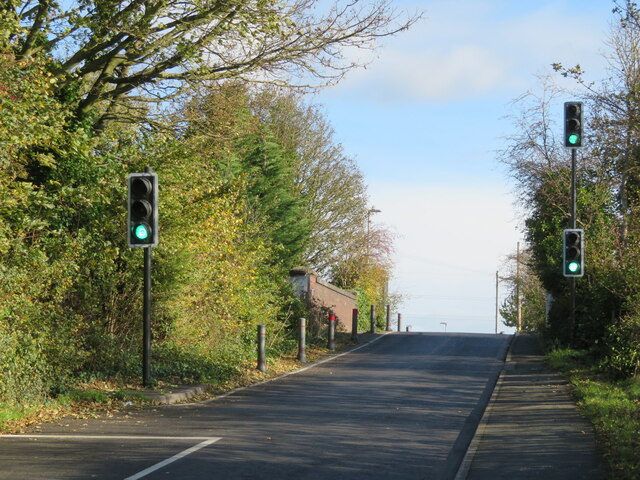
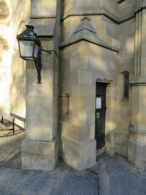
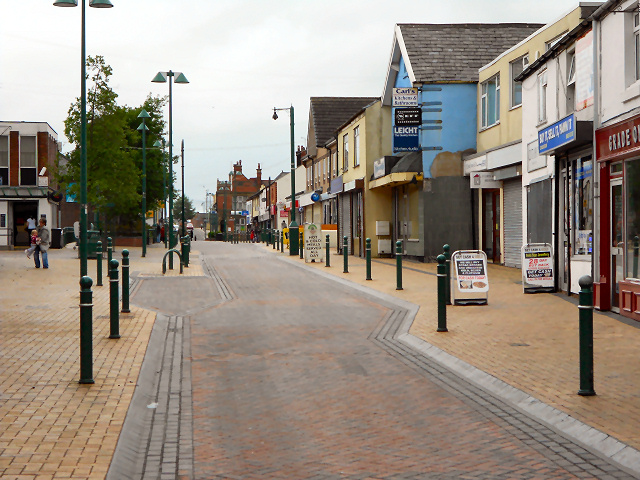
Coppa View Images
Images are sourced within 2km of 53.166465/-3.072943 or Grid Reference SJ2863. Thanks to Geograph Open Source API. All images are credited.


Coppa View is located at Grid Ref: SJ2863 (Lat: 53.166465, Lng: -3.072943)
Unitary Authority: Flintshire
Police Authority: North Wales
What 3 Words
///encodes.notebook.lushly. Near Buckley, Flintshire
Nearby Locations
Related Wikis

District of Alyn and Deeside
Alyn and Deeside (Welsh: Alun a Glannau Dyfrdwy) was one of six local government districts in the county of Clwyd, north-east Wales from 1974 to 1996....

St Matthew's Church, Buckley
St Matthew's Church, is in the town of Buckley, Flintshire, Wales. It is an active Anglican parish church in the Borderlands Mission Area, the archdeaconry...

Elfed High School
Elfed High School (Welsh: Ysgol Uwchradd Elfed) is an 11–16 mixed, English-medium community secondary school in Buckley, Flintshire, Wales. == History... ==
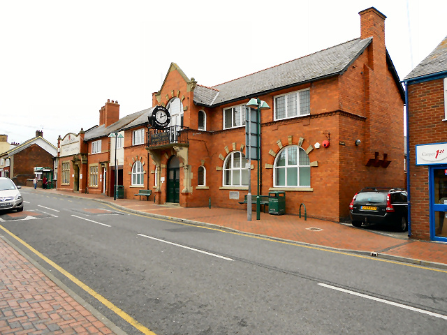
Buckley, Flintshire
Buckley (Welsh: Bwcle [ˈbʊklɛ]) is a town and community in Flintshire, north-east Wales, two miles (3 km) from the county town of Mold and contiguous with...
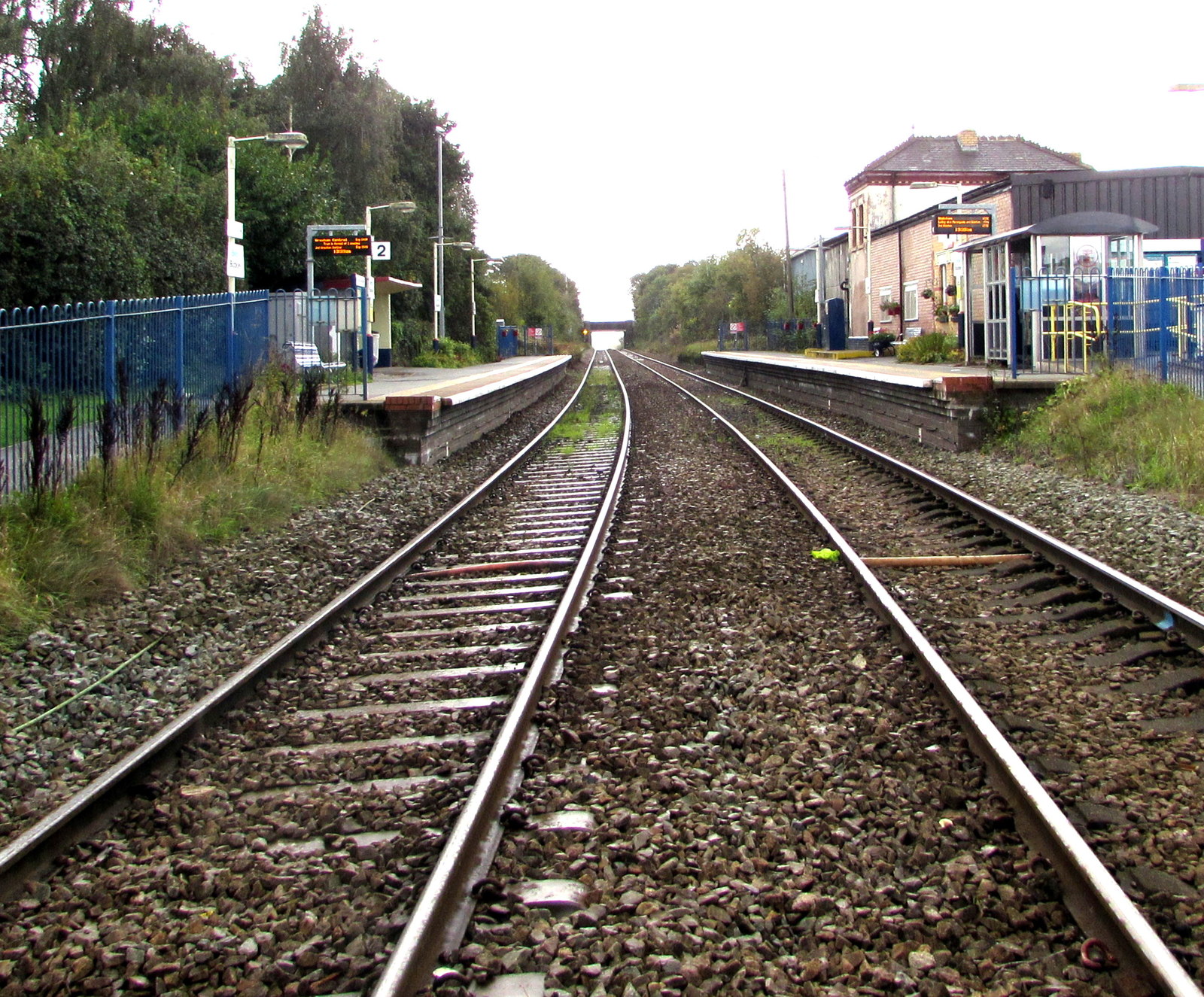
Buckley railway station
Buckley railway station serves the town of Buckley in Flintshire, Wales. The station is 8½ miles (14 km) north of Wrexham Central on the Borderlands Line...
Etna Park
Etna Park is a park near the town of Buckley.The area was a clay hole during the Industrial Revolution, and was later used as a landfill. The site has...

Alyn and Deeside (Senedd constituency)
Alyn and Deeside (Welsh: Alun a Glannau Dyfrdwy) is a constituency of the Senedd. It elects one Member of the Senedd by the first past the post method...
Buckley Town F.C.
Buckley Town Football Club (Welsh: Clwb Pêl-Droed Tref Bwcle) is a Welsh football team based in Buckley, Flintshire, Wales. They currently play in the...
Nearby Amenities
Located within 500m of 53.166465,-3.072943Have you been to Coppa View?
Leave your review of Coppa View below (or comments, questions and feedback).